The best mountain hikes around Büssing
4.8
(18)
56
hikers
15
hikes
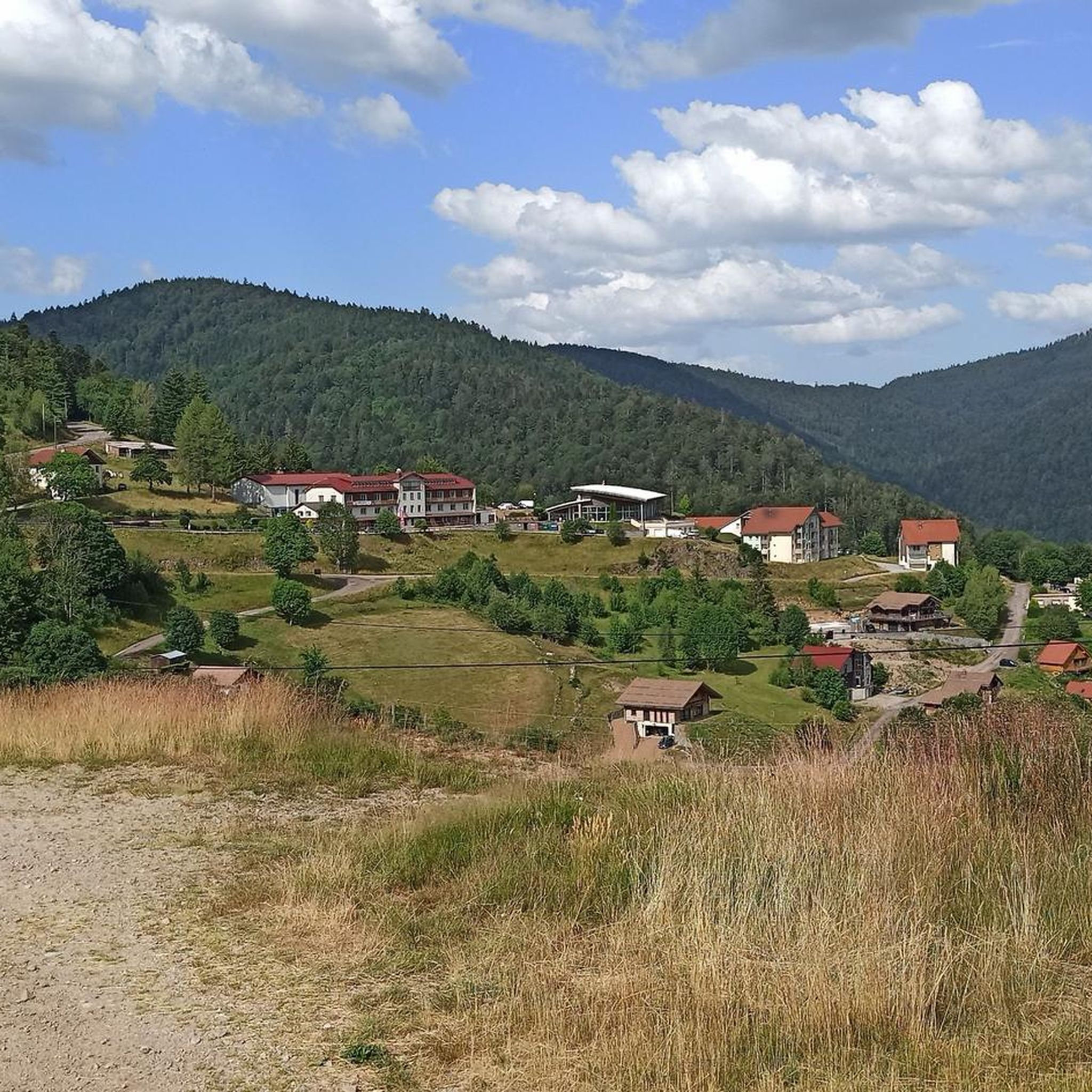
Mountaineering routes around Büssing traverse a landscape characterized by varied mountainous terrain, including forested slopes and rocky sections. The region offers a mix of elevations suitable for different skill levels, from moderate ascents to more challenging climbs. These routes often feature natural springs and panoramic viewpoints, providing diverse experiences for mountaineers.
Best mountaineering routes around Büssing
- The most popular mountaineering route is Mountaineering loop from Théâtre du Peuple, a 5.7 miles (9.2 km) trail that takes 2 hours 44…
Last updated: July 5, 2026
4.6
(5)
6
hikers
9.20km
02:44
280m
280m
Moderate mountaineering route. Good fitness required. Easily-accessible paths. Suitable for all skill levels.
8
hikers
2.16km
01:19
200m
200m
Hard mountaineering route. Great for any fitness level. Sure-footedness, sturdy shoes and alpine experience required.

Sign up for free
3
hikers
13.7km
04:39
670m
670m
Moderate mountaineering route. Good fitness required. Mostly accessible paths. Sure-footedness required.
5.0
(1)
3
hikers
21.1km
06:03
510m
510m
Hard mountaineering route. Very good fitness required. Easily-accessible paths. Suitable for all skill levels.
5.0
(3)
4
hikers
10.4km
03:49
640m
640m
Moderate mountaineering route. Good fitness required. Easily-accessible paths. Suitable for all skill levels.
Get access to more routes and recommendations from other explorers.
Sign up for free
Already have an account?
Our route recommendations are based on thousands of hikes, rides, and runs completed by other people on komoot.
Start today with a free account
Your next adventure awaits.
Login or Signup
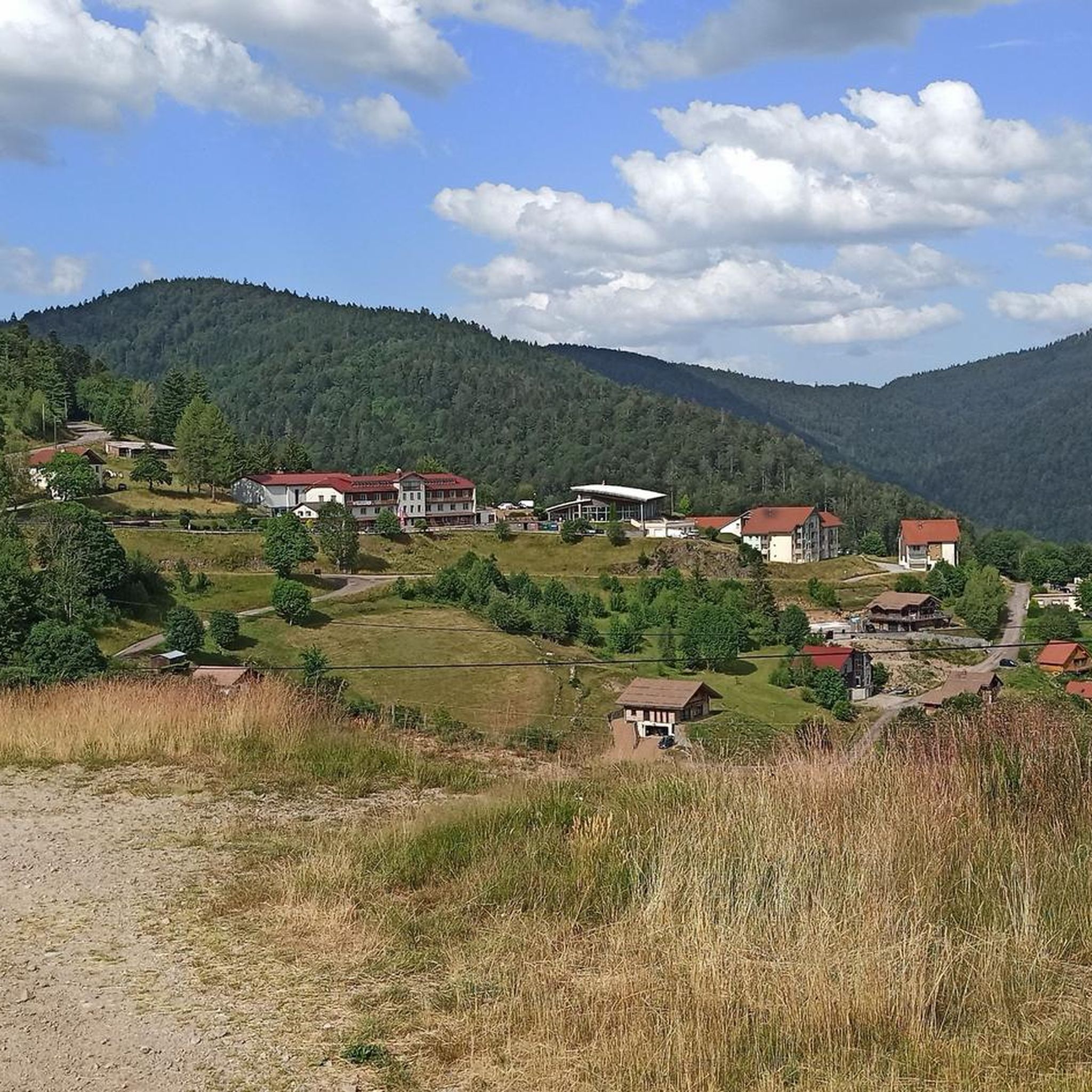
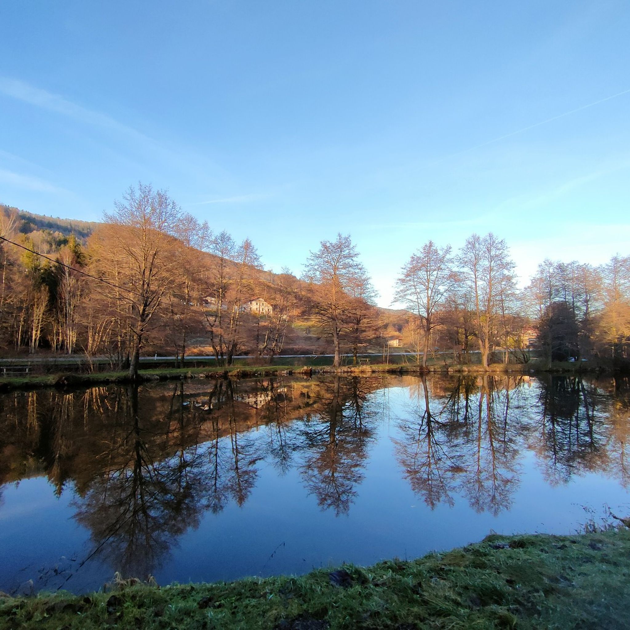
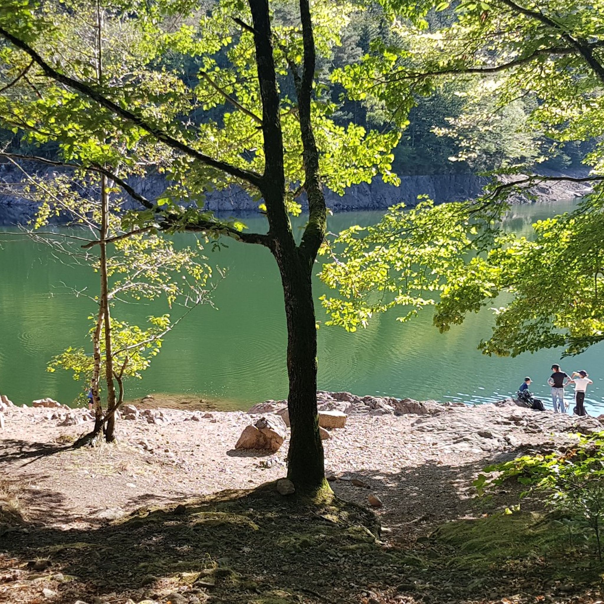
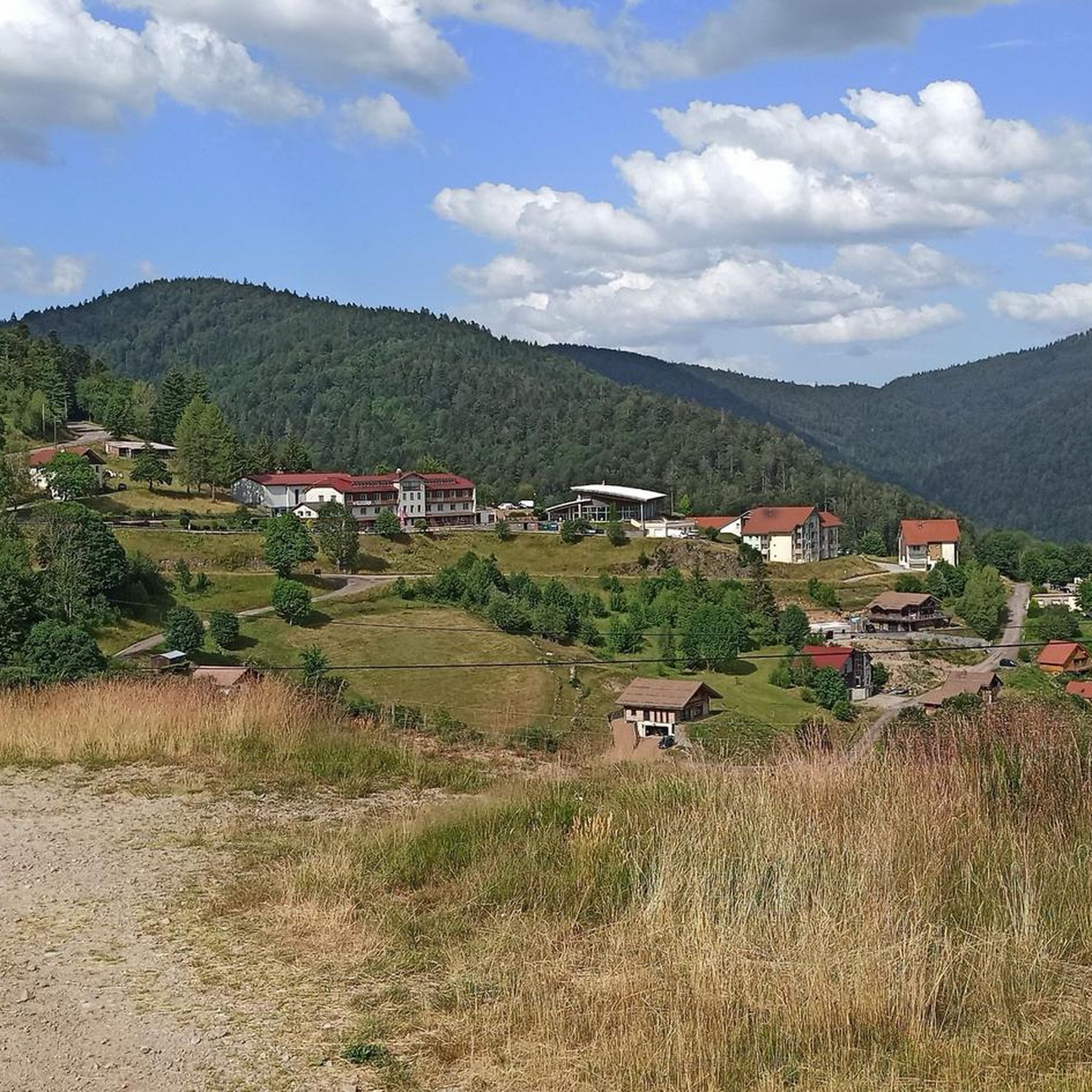

Tips from the Community

The GR 531 trail section of Bocklochkopf is closed annually from 01/12 to 30/04.
0
0

Too bad the dam is currently under construction.
0
0

Very good little easy hike
0
0

Comfortable bench with a great view of the mountains.
1
0

A very pretty waterfall that brings you a feeling of freshness accompanied by the bubbling sound of the waterfall.
3
0

It is a beautiful walk with an incline to the summit, which is worth it just for the view all the way to the Alps - if the weather plays along!
3
1

Cheerfully splashing waterfall that refreshes and invites you to take a break 😃
1
0

Very nice view of the lake. Not far from the Le Schlossberg campsite.
4
0
Frequently Asked Questions
What is the overall difficulty level of mountaineering routes around Büssing?
The Büssing region offers a diverse range of mountaineering routes suitable for various skill levels. You'll find 2 easy routes, 7 moderate routes, and 6 difficult routes, ensuring options for beginners and experienced mountaineers alike.
Are there any challenging mountaineering routes for experienced climbers in Büssing?
Yes, for experienced mountaineers seeking a challenge, Büssing offers several difficult routes. Consider the Wild Cat Head – Grand Ventron Summit loop from Wildenstein, a demanding 19.1 km route with significant elevation gain, or the Le petit Drube loop from Col de la Lochère, which spans 21.1 km and also presents a considerable challenge.
What are some of the longer mountaineering routes available in the Büssing area?
If you're looking for longer excursions, the Le petit Drube loop from Col de la Lochère is one of the longest at 21.1 km, typically taking over 6 hours to complete. Another substantial option is the Wild Cat Head – Grand Ventron Summit loop from Wildenstein, which is 19.1 km long.
Are there any circular mountaineering routes around Büssing?
Many of the mountaineering routes in Büssing are designed as loops, allowing you to start and finish at the same point. Examples include the Wild Cat Head – Grand Ventron Summit loop from Wildenstein and the Le petit Drube loop from Col de la Lochère.
What kind of natural attractions can I expect to see along mountaineering routes in Büssing?
The Büssing region is rich in natural beauty. Along your mountaineering routes, you might encounter stunning waterfalls such as the Bockloch Waterfall or the Rummel Waterfalls. There are also beautiful lakes like Crow Lake and impressive summits like Ballon d'Alsace, offering panoramic views.
When is the best time of year for mountaineering in Büssing?
The best time for mountaineering in Büssing is typically from late spring through early autumn (May to October) when the weather is generally stable, and trails are clear of snow. During these months, you can fully enjoy the forested slopes and rocky sections. Winter mountaineering is possible but requires specific equipment and experience due to snow and ice conditions.
Are there any less crowded or 'hidden gem' mountaineering routes in Büssing?
While specific 'hidden gems' are often discovered by individual exploration, generally, routes that are longer or rated as 'difficult' tend to be less frequented than the most popular trails. Exploring some of the longer loops like the Le petit Drube loop from Col de la Lochère might offer a more secluded experience.
What do other mountaineers say about the routes in Büssing?
The mountaineering routes in Büssing are highly regarded by the komoot community, holding an impressive average rating of 4.8 stars from over 15 reviews. Users frequently praise the varied terrain, from forested paths to rocky sections, and the rewarding panoramic viewpoints.
Are there options for beginner mountaineers in Büssing?
Yes, Büssing offers 2 easy mountaineering routes that are suitable for beginners or those looking for a less strenuous experience. These routes provide an excellent introduction to the region's mountainous terrain without requiring advanced skills or equipment.
Can I find places to eat or get refreshments near the mountaineering routes?
While specific cafes directly on the trails are rare, many routes start or pass near villages or towns like Kruth or Wildenstein, where you can typically find local eateries, bakeries, or small shops to refuel before or after your mountaineering adventure.
Is public transport available to reach the trailheads in Büssing?
Public transport options vary by specific trailhead. Some starting points, especially those near larger villages, might be accessible by local bus services. However, for many mountainous trailheads, driving and parking are often the most convenient options. It's advisable to check local bus schedules for your specific starting point.
Where can I park my car when accessing mountaineering routes in Büssing?
Most popular trailheads in the Büssing region, particularly those near villages or significant natural attractions, offer designated parking areas. These can range from small roadside pull-offs to larger car parks. Always look for official signage and respect local parking regulations.
Most popular routes around Büssing
Most popular attractions around Büssing

Get inspired with the komoot mobile app


Explore more
Browse the best Mountain Hikes & Routes in other regions.
