The best running trails around Saint-Étienne-De-Montluc
4.5
(110)
4,256
runners
105
runs
Jogging routes around Saint-Étienne-De-Montluc offer a diverse landscape for runners, characterized by varied topography. The northern part features higher ground, contrasting with extensive marshlands to the south, which extend towards the Loire River. The Marais Stéphanois, a significant marshland area with canals, provides running routes with rich biodiversity. The Loire River borders the south and west, with several streams further enriching the natural environment.
Best jogging routes around Saint-Étienne-De-Montluc
- The most popular jogging route is Saint-Étienne-de-Montluc loop from Saint-Étienne-de-Montluc,…
Last updated: October 11, 2026
5.0
(1)
120
runners
Moderate run. Good fitness required. Mostly paved surfaces. Suitable for all skill levels.
3.5
(2)
279
runners
Hard run. Very good fitness required. Mostly paved surfaces. Suitable for all skill levels.

5.0
(1)
54
runners
39.3km
04:43
530m
530m
Hard run. Very good fitness required. Mostly paved surfaces. Suitable for all skill levels.
5.0
(1)
28
runners
12.9km
01:22
40m
40m
Moderate run. Good fitness required. Mostly paved surfaces. Suitable for all skill levels.
27
runners
Moderate run. Good fitness required. Mostly paved surfaces. Suitable for all skill levels.
Get access to more routes and recommendations from other explorers.
Already have an account?
Our route recommendations are based on thousands of hikes, rides, and runs completed by other people on komoot.
Start today with a free account
Your next adventure awaits.
Popular around Saint-Étienne-De-Montluc
La Vélidéale - From the Limousin to the Atlantic
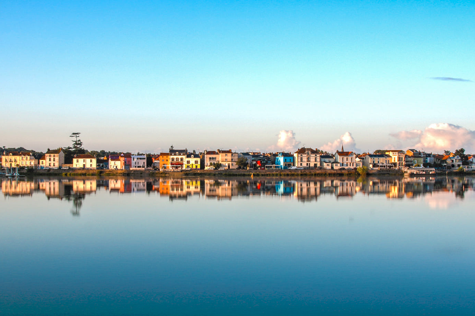
The Loire from ocean to source — GR3 La Baule-Escoublac to Nantes

Road Cycling Routes around Saint-Étienne-De-Montluc

MTB Trails around Saint-Étienne-De-Montluc

Cycling around Saint-Étienne-De-Montluc

Hiking around Saint-Étienne-De-Montluc

Gravel biking around Saint-Étienne-De-Montluc
Other adventures around Saint-Étienne-De-Montluc


Tips from the Community

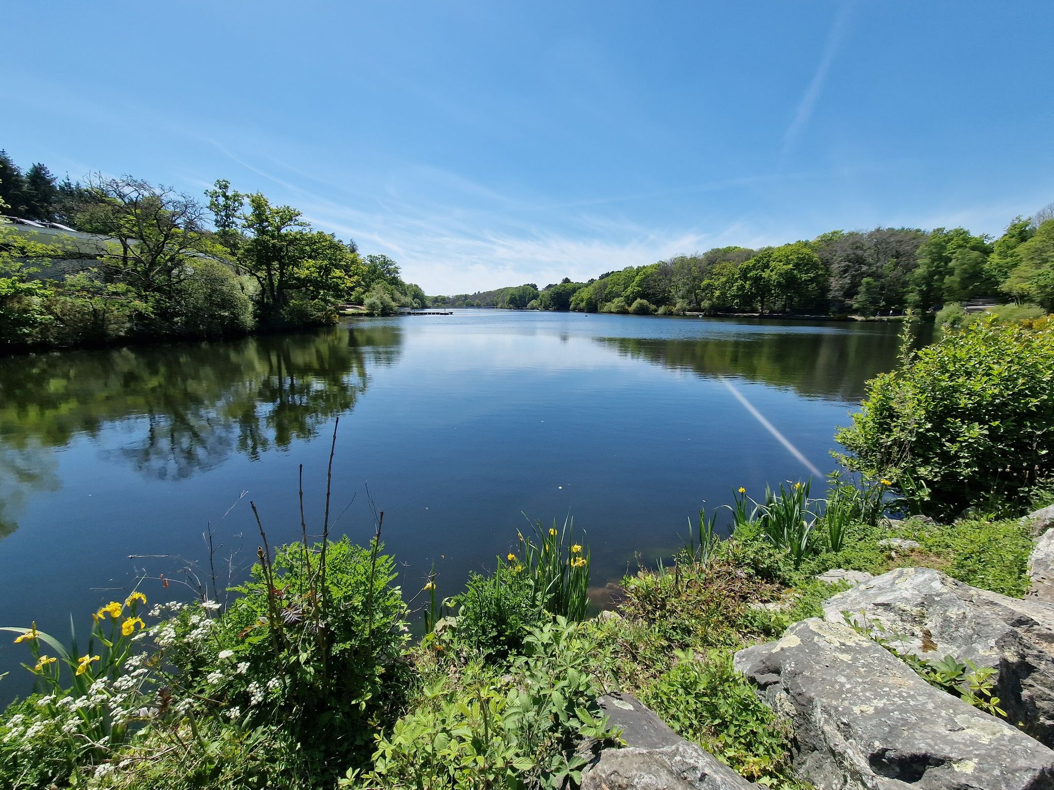
The Lac de la Vallée Mabille, or Lac de Savenay, is a beautiful artificial reservoir that is worth a small detour. By bike, you can easily cycle around the southern part (south of the road) via a wide and well-maintained wooded path. On the other hand, the northern part, wilder and quite rugged, is more suited for hiking than cycling. Crossing at the level of the dam is possible thanks to a footbridge.
0
0

A road allows you to cross the marshes from Saint Etienne de Montluc to Couëron. The elevation gain is zero and the walk is very pleasant.
0
0
Old mill dating from the 16th century. Located on private property, but relatively visible from the road. Whether you climb up from Angellerais by road or via the GR3 trail, it will require a good effort.
0
0

Wild place, be careful, some paths are dead ends. Check the map carefully. Several areas flood in winter.
0
0

You can admire the flight of the storks
0
0

This lake is otherwise called the Mabille valley lake. It is an artificial lake. Access to the leisure center is free. The activities offered here are: picnic on the bank, play areas for the youngest, fishing.
0
0
This church located in the heart of the city was built between 1841 and 1847 on the site of an old, deteriorated church. The exterior shell of the church has been the subject of several renovation campaigns since 1936 by the municipality that owns the building.
0
0
Frequently Asked Questions
How many running routes are available in Saint-Étienne-De-Montluc?
There are over 100 running routes in Saint-Étienne-De-Montluc, offering a wide variety of options for all skill levels. You'll find everything from easy paths to more challenging, longer routes.
What are the difficulty levels of running trails in Saint-Étienne-De-Montluc?
The running trails in Saint-Étienne-De-Montluc cater to various fitness levels. You'll find 8 easy routes, 70 moderate routes, and 23 difficult routes, ensuring there's a suitable path for every runner.
Are there running routes that explore the marshlands?
Yes, the local marshlands, known as the Marais Stéphanois, are a significant natural asset with a network of canals and diverse landscapes. The Audubon Marsh – Port of Couëron loop from Saint-Étienne-de-Montluc is a great option, leading through these marshlands and along the Loire River.
Can I find routes with varied terrain or elevation changes?
Absolutely. Saint-Étienne-De-Montluc boasts a varied topography. The northern part features the elevated Sillon de Bretagne, offering challenging inclines, while the southern marshlands provide flatter, open paths. This ensures a diverse experience, from gentle slopes to more significant elevation gains.
Are there running paths along the Loire River?
Yes, the Loire River borders the south and west of the commune, providing picturesque banks ideal for scenic runs. The Audubon Marsh – Port of Couëron loop from Saint-Étienne-de-Montluc is one such route that takes you along the Loire.
What landmarks or attractions can I see while running?
Many routes offer scenic views and pass by interesting points. For example, the Château de Bellevue loop from Bellevue takes you past the historic Château de Bellevue. You can also explore nearby lakes like Etang de Roche Ballue or Lake Beaulieu, and even discover castles such as Château de la Juliennais.
Are there family-friendly running routes in Saint-Étienne-De-Montluc?
Yes, Saint-Étienne-De-Montluc offers several routes suitable for families. The town features beautiful green spaces like the Parc de la Roche, which has well-maintained paths perfect for leisurely runs or walks with children. Look for routes marked as 'easy' for the most family-friendly options.
Are the running trails in Saint-Étienne-De-Montluc dog-friendly?
Many of the natural trails and paths in Saint-Étienne-De-Montluc are suitable for running with dogs, especially those through the marshlands and along the riverbanks. However, it's always recommended to keep your dog on a leash and be mindful of local regulations, especially in protected natural areas or near wildlife.
Are there circular running routes available?
Yes, many of the running routes in Saint-Étienne-De-Montluc are circular, allowing you to start and finish at the same point. Examples include the popular Saint-Étienne-de-Montluc loop from Saint-Étienne-de-Montluc and the Mare loop from Saint-Étienne-de-Montluc.
What do other runners enjoy the most about jogging in Saint-Étienne-De-Montluc?
The running routes in Saint-Étienne-De-Montluc are highly rated by the komoot community, with an average score of 4.4 stars from over 90 reviews. Runners often praise the diverse landscapes, from the varied relief of the Sillon de Bretagne to the extensive marshlands and picturesque riverside paths along the Loire.
Is parking available near the running trails?
While specific parking details vary by route, many trailheads and popular starting points in Saint-Étienne-De-Montluc, especially those near the town center or major natural areas, offer convenient parking options. It's advisable to check the route details on komoot for specific parking information for your chosen trail.
How can I access running routes using public transport?
Saint-Étienne-De-Montluc has public transport connections that can help you reach various parts of the commune. While direct access to every trailhead might not be available, many routes are accessible from the town center or areas served by local buses. Check local transport schedules for the best options to reach your desired starting point.
Most popular routes around Saint-Étienne-De-Montluc
Most popular attractions around Saint-Étienne-De-Montluc

Get inspired with the komoot mobile app


Explore more
Browse the best Running Trails & Routes in other regions.
