The best walks and hikes around Sainte-Marguerite
4.5
(1050)
4,751
hikers
263
hikes
Hiking around Sainte-Marguerite offers trails through the forested landscapes and rolling hills of the Vosges region. The area is characterized by dense woodlands, notable rock formations, and varied terrain with moderate elevation changes. Hikers can explore paths that lead to scenic viewpoints and natural features.
Best hiking trails around Sainte-Marguerite
- The most popular hiking route is Kiosk Rock – Anvil Rock loop from Saint-Dié-des-Vosges, a 5.3 miles (8.5 km) trail that takes about 2 hours 43 minutes to complete. This route features distinct rock formations and forest paths.
- Another top favourite among local hikers is View of the Forest – Downhill loop from Saint-Dié-des-Vosges, a moderate 5.9 miles (9.5 km) path. This trail offers views over the surrounding forest landscape.
- Local hikers also love the Fontaine des Chevaux loop from Saint-Dié-des-Vosges, a 3.1 miles (4.9 km) trail leading through forested areas, often completed in about 1 hour 47 minutes.
- Hiking around Sainte-Marguerite is defined by dense woodlands, rock formations, and varied terrain. The network offers options for different ability levels, from easy walks to more challenging moderate trails.
- The routes in Sainte-Marguerite are highly rated by the komoot community with an average score of 4.5 stars from over 900 reviews. More than 4000 hikers have used komoot to explore Sainte-Marguerite's varied terrain.
Last updated: July 5, 2026
4.8
(5)
57
hikers
5.45km
02:00
270m
280m
Moderate hike. Good fitness required. Mostly accessible paths. Sure-footedness required.
4.6
(10)
47
hikers
9.49km
02:39
180m
180m
Moderate hike. Good fitness required. Mostly accessible paths. Sure-footedness required.

Sign up for free
5.0
(1)
33
hikers
Easy hike. Great for any fitness level. Easily-accessible paths. Suitable for all skill levels.
5.0
(2)
29
hikers
8.02km
02:43
300m
300m
Moderate hike. Good fitness required. Mostly accessible paths. Sure-footedness required.
5.0
(1)
16
hikers
5.23km
01:55
250m
250m
Moderate hike. Great for any fitness level. Mostly accessible paths. Sure-footedness required.
Get access to more routes and recommendations from other explorers.
Sign up for free
Already have an account?
Our route recommendations are based on thousands of hikes, rides, and runs completed by other people on komoot.
Start today with a free account
Your next adventure awaits.
Login or Signup
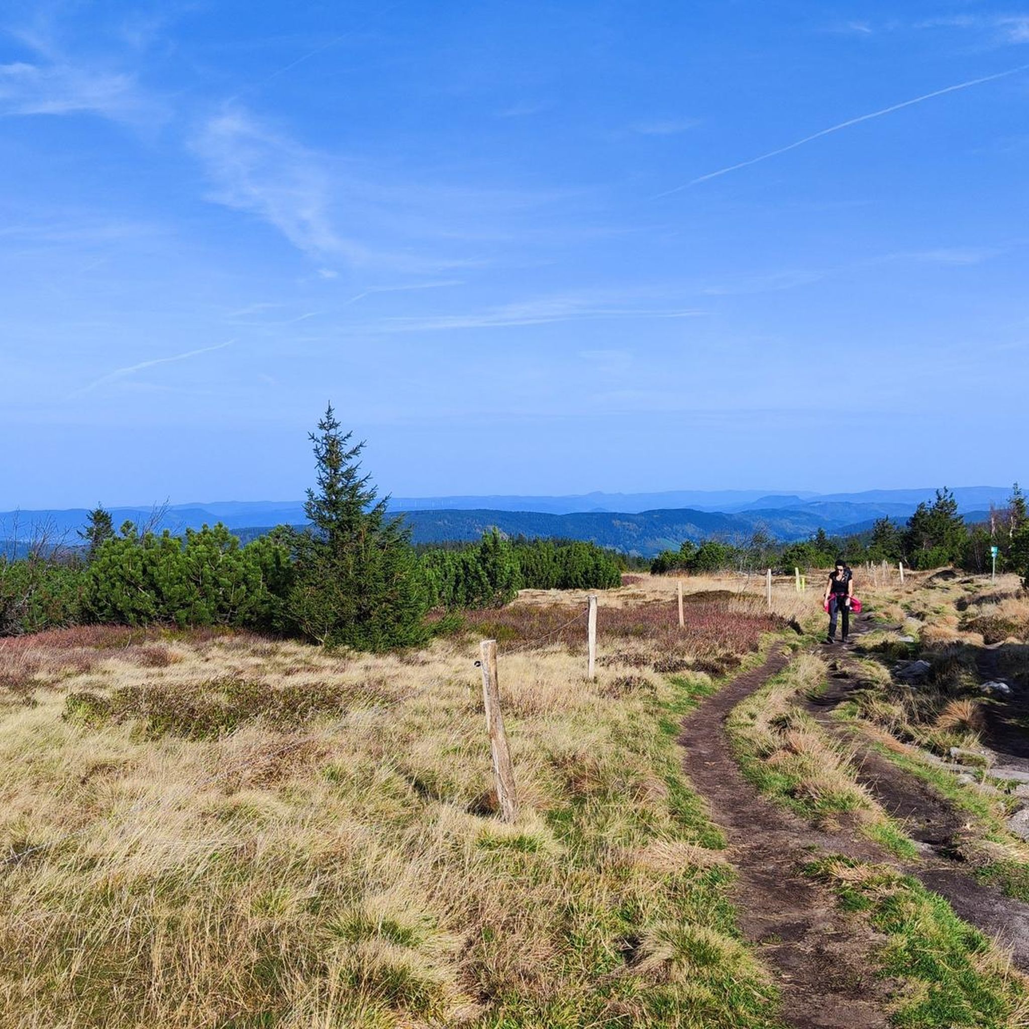

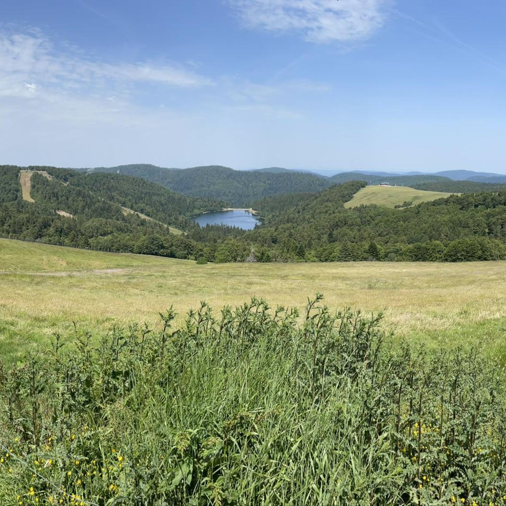

Tips from the Community

Nice, but not really any panorama...
0
0

yes up there you have a good view
2
0

The Meurthe is the 3rd largest tributary of the Moselle, after the Saar and the Sauer. Its source is near the Col de la Schlucht, in the municipality of Le Valentin. After approx. 20 km, the Meurthe reaches Saint-Dié-des-Vosges. After 160 km, it flows into the Moselle north of Nancy.
0
0


Great viewpoint on Saint-Dié-des-Vosges
0
0
Great view of Saint-Dié-des-Vosges
1
0

This part is relatively steep and it is doubtful that everyone will be able to use it.
0
0
Frequently Asked Questions
How many hiking trails are available around Sainte-Marguerite?
There are over 260 hiking trails around Sainte-Marguerite, offering a wide range of options for different skill levels. You'll find 93 easy routes, 147 moderate trails, and 21 more challenging hikes.
What kind of landscapes can I expect to see while hiking in Sainte-Marguerite?
Hiking in Sainte-Marguerite primarily takes you through dense woodlands and rolling hills characteristic of the Vosges region. You'll encounter notable rock formations and varied terrain, often leading to scenic viewpoints.
Are there any easy hikes suitable for beginners or families in Sainte-Marguerite?
Yes, Sainte-Marguerite offers 93 easy routes perfect for beginners or families. These trails typically feature gentler terrain and shorter distances, allowing for a relaxed outdoor experience.
What do other hikers enjoy most about the trails in Sainte-Marguerite?
The trails in Sainte-Marguerite are highly rated by the komoot community, with an average score of 4.5 stars from over 900 reviews. Hikers often praise the quiet woodlands, distinct rock formations, and the varied terrain that offers something for everyone.
Are there any circular hiking routes in Sainte-Marguerite?
Yes, many of the trails in Sainte-Marguerite are circular, allowing you to start and end at the same point. For example, the Kiosk Rock – Anvil Rock loop from Saint-Dié-des-Vosges is a popular 5.3-mile (8.5 km) route featuring unique rock formations and forest paths.
Can I find any interesting landmarks or natural monuments along the hiking trails?
Absolutely. The region around Sainte-Marguerite is home to several interesting landmarks and natural monuments. You can explore sites like the La Bure Celtic Camp, or enjoy panoramic views from La Roche Saint-Martin and View of Saint-Dié, and Dry Fir Rock.
Are there any hikes that offer good viewpoints in Sainte-Marguerite?
Many trails in Sainte-Marguerite lead to excellent viewpoints. For instance, the View of the Forest – Downhill loop from Saint-Dié-des-Vosges offers expansive views over the surrounding forest landscape. Other notable viewpoints include Roche d'Anozel and La Roche Saint-Martin.
What is the typical duration for a hike in Sainte-Marguerite?
Hike durations vary depending on the trail's length and difficulty. For example, the Fontaine des Chevaux loop from Saint-Dié-des-Vosges, a 3.1-mile (4.9 km) trail, typically takes about 1 hour 47 minutes, while longer routes can take several hours.
Are there any historical sites to visit while hiking in the area?
Yes, you can combine your hike with a visit to historical sites. The La Bure Celtic Camp is a significant historical site, and the Trail of the Hamlets Fallen for France – La Fontenelle offers a poignant historical experience.
What is the best time of year to go hiking in Sainte-Marguerite?
The forested landscapes of Sainte-Marguerite are enjoyable throughout much of the year. Spring and autumn offer pleasant temperatures and beautiful foliage, while summer provides lush greenery. Winter hikes are also possible, though conditions may vary.
Are there any challenging hikes for experienced hikers in Sainte-Marguerite?
For experienced hikers seeking a challenge, Sainte-Marguerite offers 21 difficult routes. These trails typically feature more significant elevation changes and rugged terrain, providing a rewarding experience.
Can I find trails that are less crowded or considered 'hidden gems'?
With over 260 trails, it's possible to find quieter paths, especially outside of peak times. Exploring some of the lesser-known moderate or difficult routes, such as The Peeing Fir loop from La Bolle, might lead you to a more secluded experience.
Most popular routes around Sainte-Marguerite
Most popular attractions around Sainte-Marguerite

Get inspired with the komoot mobile app


Explore more
Browse the best Hikes in other regions.
