The best walks and hikes around Le Plessis-Placy
4.5
(103)
607
hikers
55
hikes
Hiking around Le Plessis-Placy offers routes through a landscape characterized by canals, rivers, and surrounding forests. The terrain generally features gentle elevation changes, with some trails following waterways like the Canal de l'Ourcq and the Marne River. The region provides a mix of open paths and shaded sections, suitable for various hiking preferences.
Best hiking trails around Le Plessis-Placy
- The most popular hiking route is Canal de l'Ourcq – View of the Marne River loop from Varreddes, a 10.3…
Last updated: July 5, 2026
5.0
(7)
32
hikers
16.5km
04:15
80m
80m
Moderate hike. Good fitness required. Easily-accessible paths. Suitable for all skill levels.
5.0
(5)
25
hikers
13.8km
03:34
80m
80m
Moderate hike. Good fitness required. Easily-accessible paths. Suitable for all skill levels.

Sign up for free
3.0
(1)
9
hikers
24.7km
06:29
200m
200m
Hard hike. Very good fitness required. Easily-accessible paths. Suitable for all skill levels.
3.0
(1)
9
hikers
Hard hike. Very good fitness required. Easily-accessible paths. Suitable for all skill levels.
5.0
(1)
15
hikers
Moderate hike. Good fitness required. Easily-accessible paths. Suitable for all skill levels.
Get access to more routes and recommendations from other explorers.
Sign up for free
Already have an account?
Our route recommendations are based on thousands of hikes, rides, and runs completed by other people on komoot.
Start today with a free account
Your next adventure awaits.
Login or Signup
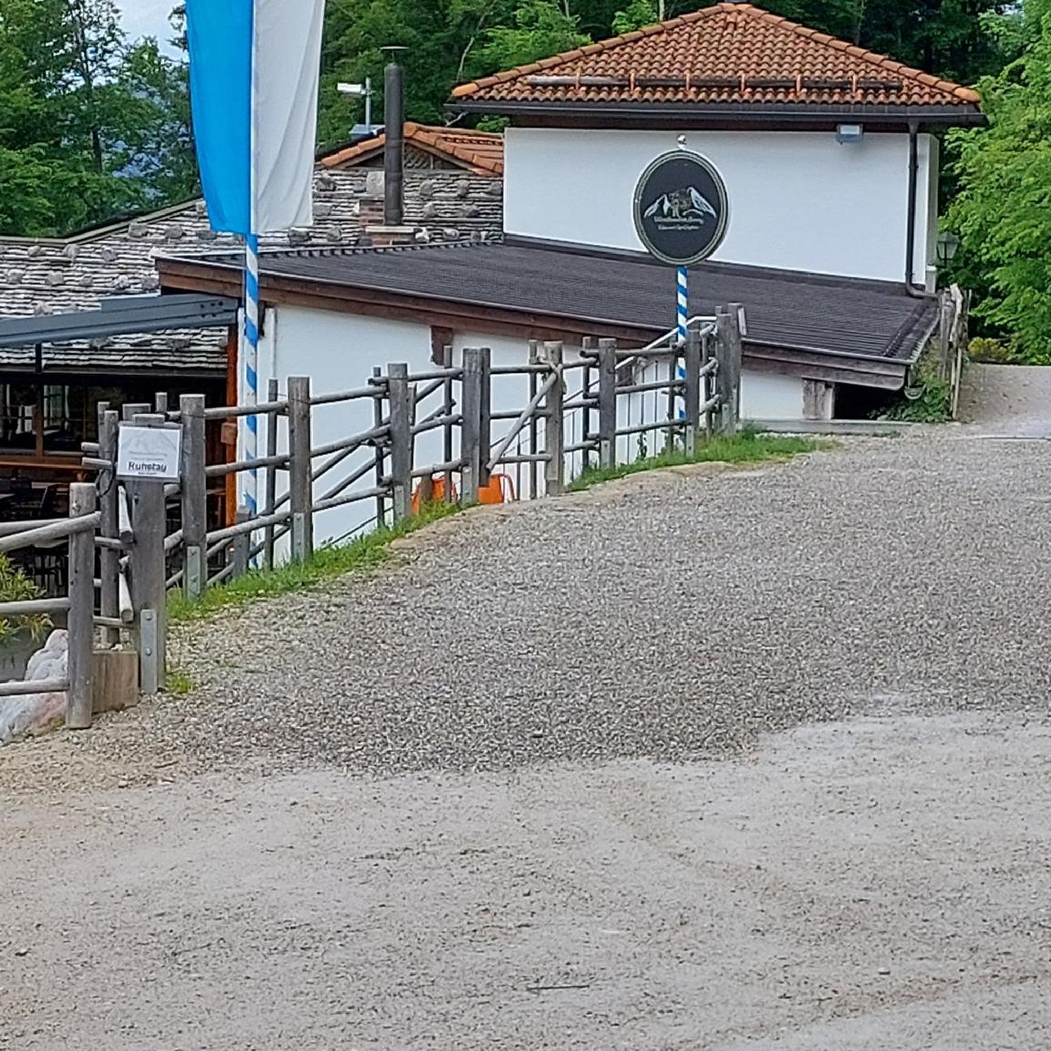
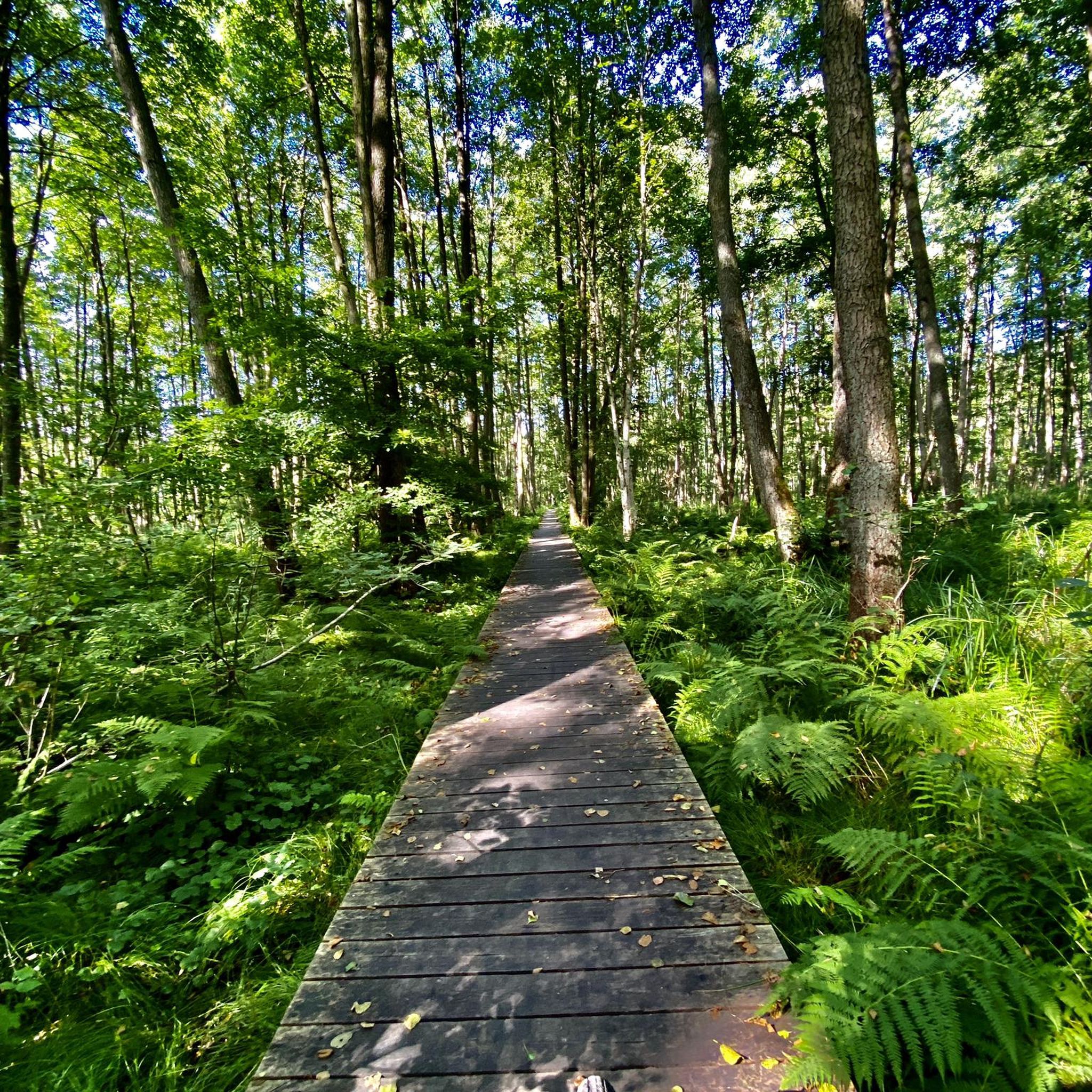
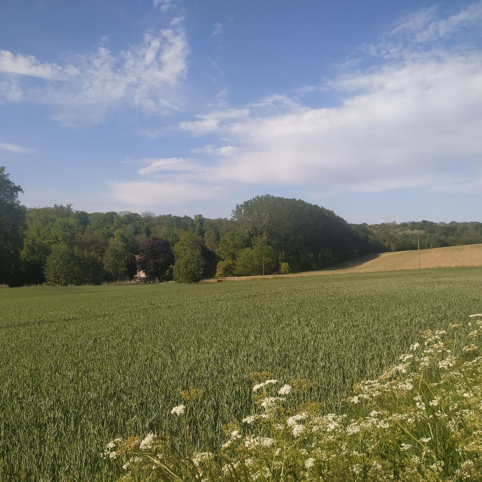
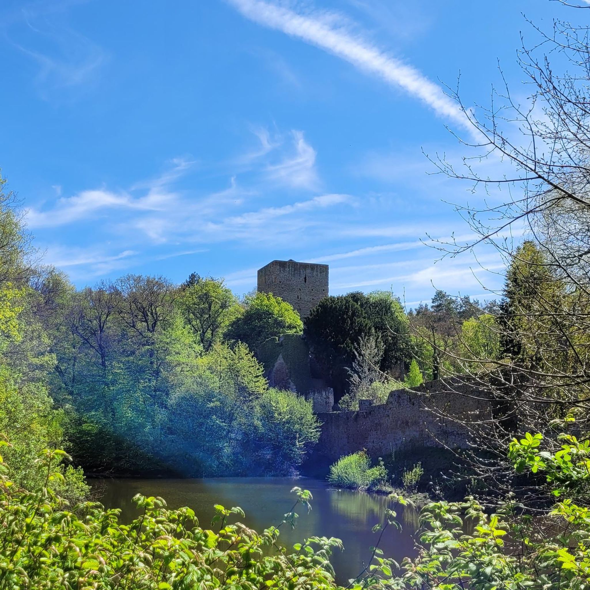
Tips from the Community

The banks along the Marne always offer beautiful motifs.
0
0

Nice place for a stopover
0
0

Bridge overlooking the Marne near the Grand-Voyeux nature reserve.
0
0

The forest of Montceaux offers an ideal setting for practicing many sports, including running. This forest massif near the Marne covers 685 hectares and is full of marked trails. The site is very well preserved and therefore it lends itself particularly well for a moment of disconnection from everyday life!
0
0
Frequently Asked Questions
How many hiking trails are available around Le Plessis-Placy?
There are over 50 hiking trails around Le Plessis-Placy, offering a diverse range of experiences. You'll find options suitable for various fitness levels, from easy strolls to more challenging long-distance routes.
Are there easy hikes suitable for beginners or families with young children?
Yes, Le Plessis-Placy offers 14 easy hiking routes. These trails typically feature gentle terrain along canals and rivers, making them ideal for beginners or families. While specific routes are not listed as 'family-friendly' in the data, the easy routes are generally suitable. Consider routes with shorter distances and minimal elevation gain for a pleasant family outing.
Are there any circular walks in the area?
Many of the trails around Le Plessis-Placy are designed as circular routes, allowing you to start and end at the same point. For example, the Canal de l'Ourcq – View of the Marne River loop from Varreddes is a popular circular option, covering 10.3 miles (16.5 km) with views along the canal and river.
What kind of natural attractions or viewpoints can I expect to see on the trails?
The hiking trails often follow the scenic Canal de l'Ourcq and the Marne River, providing pleasant waterside views. You might also encounter historical landmarks such as the Monument Notre-Dame de la Marne - Barcy or the historic Houssoy Castle. The region's landscape is characterized by a mix of open paths and shaded forest sections.
Are the hiking trails around Le Plessis-Placy dog-friendly?
Most trails in the Le Plessis-Placy region are generally dog-friendly, especially those along the canals and through forests. It's always recommended to keep your dog on a leash, especially near wildlife or in agricultural areas, and to carry water for both yourself and your pet. Always check local signage for any specific restrictions.
What is the best time of year to go hiking in Le Plessis-Placy?
The region is enjoyable for hiking throughout much of the year. Spring and autumn offer pleasant temperatures and beautiful scenery, with changing foliage in the forested areas. Summer provides warm weather, ideal for waterside walks, while winter hikes can be peaceful, though some paths might be muddy. The gentle terrain makes it accessible in most seasons.
Are there any cafes or places to eat near the hiking trails?
While specific cafes directly on the trails are not detailed, the villages and towns surrounding Le Plessis-Placy, such as Varreddes, Congis-sur-Thérouanne, and Lizy-sur-Ourcq, offer various options for refreshments and meals. It's advisable to check opening hours in advance, especially in smaller communities.
What are the parking options for hikers in Le Plessis-Placy?
Parking is generally available in the villages and towns that serve as starting points for many of the trails, such as Varreddes, Congis-sur-Thérouanne, and Lizy-sur-Ourcq. Look for public parking areas within these communities. Specific trailheads may also have small parking lots, but availability can vary.
Can I reach the hiking trails using public transport?
Public transport options to reach the trailheads around Le Plessis-Placy exist, primarily through local bus services connecting the smaller villages to larger towns with train stations. Planning your route in advance using regional transport websites is recommended to ensure convenient access to your chosen starting point.
What do other hikers enjoy most about the trails in Le Plessis-Placy?
The hiking routes in Le Plessis-Placy are highly rated by the komoot community, with an average score of 4.5 stars from over 80 reviews. Hikers frequently praise the peaceful canal-side paths, the scenic river views, and the tranquil sections through local forests. The varied terrain offers a pleasant mix of open and shaded areas.
Are there any longer or more challenging routes for experienced hikers?
Yes, for experienced hikers seeking a longer challenge, there are 5 difficult routes available. An example is the Tirant d'Air Canal Sign – Bridge over the Marne loop from Varreddes, which spans 14.7 miles (23.6 km) and typically takes over 6 hours to complete, offering extensive canal-side paths and river views.
What kind of wildlife might I encounter while hiking?
The diverse landscape of canals, rivers, and forests provides habitats for various wildlife. Along the waterways, you might spot different bird species, including waterfowl. In the forested areas, smaller mammals and a wider array of birds can be observed. Maintaining a quiet presence increases your chances of wildlife sightings.
Most popular attractions around Le Plessis-Placy

Get inspired with the komoot mobile app


Explore more
Browse the best Hikes in other regions.
