The best road cycling routes around Dolomieu
4.5
(269)
3,527
riders
24
rides
Road cycling routes around Dolomieu traverse diverse landscapes within the Isère department, offering views over the Rhône and Bourbre valleys. The terrain features rolling hills, river plains, and distant panoramas of the Bugey region and the Chartreuse massif. Cyclists encounter varied elevations, from gentle countryside paths to more demanding ascents towards higher ground. The area's geography provides a network of routes suitable for different levels of road cycling.
Best road cycling routes around Dolomieu
- The most popular road cycling route…
Last updated: October 7, 2026
5.0
(3)
38
riders
44.9km
02:07
480m
480m
Moderate road ride. Good fitness required. Mostly well-paved surfaces and easy to ride.
3.0
(1)
8
riders
66.5km
02:57
670m
670m
Moderate road ride. Good fitness required. Mostly well-paved surfaces and easy to ride.

9
riders
53.0km
02:33
750m
750m
Moderate road ride. Good fitness required. Mostly well-paved surfaces and easy to ride.
4.0
(2)
5
riders
58.2km
02:29
430m
430m
Moderate road ride. Good fitness required. Mostly well-paved surfaces and easy to ride.
4.0
(3)
8
riders
53.6km
02:27
640m
640m
Moderate road ride. Good fitness required. Mostly well-paved surfaces and easy to ride.
Get access to more routes and recommendations from other explorers.
Already have an account?
Our route recommendations are based on thousands of hikes, rides, and runs completed by other people on komoot.
Start today with a free account
Your next adventure awaits.



Tips from the Community

Built in 1867 to replace the old chapels of the historic hamlets of Roche and Toirin, the Saint-Étienne church of Rochetoirin was built on the edge of the plateau. Its location serves as a true viewpoint, offering an unobstructed panoramic view of the entire surrounding plain and the landscapes of the Vals du Dauphiné. https://www.rochetoirin.fr/rubriques.item.41/histoire.html
0
0
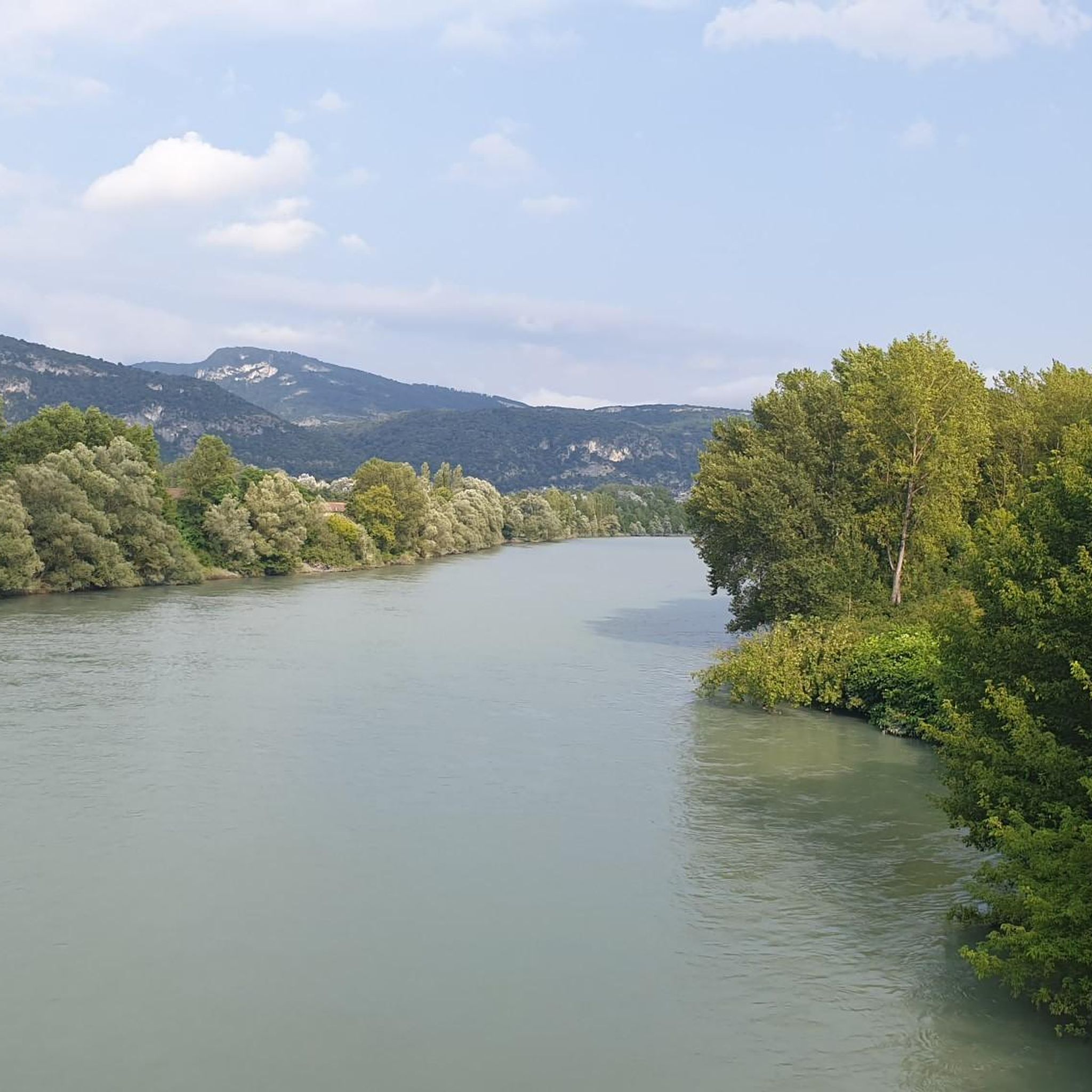
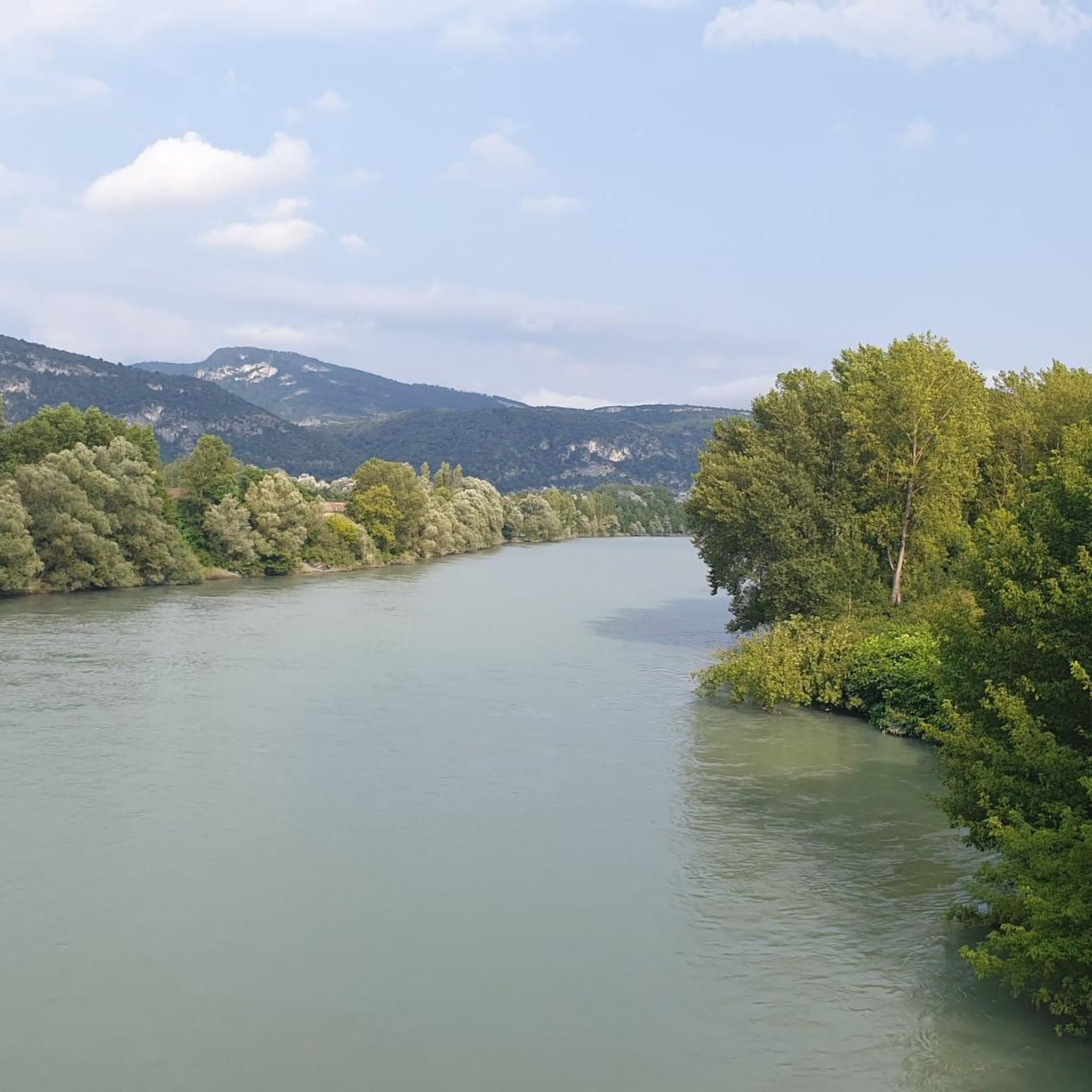
The trail runs along the Guiers river to its confluence with the Rhône, on the edge of Savoie.
0
0
For a long time, this bridge marked the political border between the Kingdom of France (Dauphiné side) and the States of Savoy. In 1822, a border stone (stone no. 5) had been set in its center to demarcate the two territories. This historic stone has since been moved to the Place des Tilleuls in the village, where it serves as a fountain.
0
0
The area is located on the border between the departments of Isère and Ain, right next to the Pont d’Évieu. A specific ViaRhôna link allows you to reach the center of the commune of Les Avenières directly from this point via small country roads.
0
0

here I replenished my drink supply again
0
0
The Chemin de fer de l'Est de Lyon (CFEL) is an old French standard-gauge secondary railway network, partly located in the Rhône department and partly in the Isère department, which connected the Gare de Lyon-Est to Aoste-Saint-Genix.
0
0
Rest area on the Via Rhôna car park, with toilets and water fountain, Shared space with motorhomes on the edge of a pond near the town of Morestel and shops.
1
0

A famous praline brioche 😃
0
0
Frequently Asked Questions
How many road cycling routes are available around Dolomieu?
There are over 25 road cycling routes around Dolomieu, offering a variety of experiences. This includes 2 easy routes, 20 moderate routes, and 5 more challenging options for experienced cyclists.
What kind of terrain can I expect when road cycling near Dolomieu?
Road cycling near Dolomieu offers a diverse landscape, from picturesque valleys and river plains to stunning mountain panoramas. You'll encounter rolling hills, gentle countryside paths, and more demanding ascents towards higher ground, with expansive views over the Rhône and Bourbre valleys, and glimpses of the Chartreuse massif.
Are there any specific long-distance cycle routes accessible from Dolomieu?
Yes, Dolomieu is strategically located near significant long-distance cycle routes. The Belle Via, a 364 km path winding through the foothills of the Bauges, Chartreuse, and Belledonne mountain ranges, is accessible. The renowned ViaRhôna, which follows the Rhône River, is also nearby.
What are some notable natural features or landmarks I can see while cycling?
While cycling around Dolomieu, you can enjoy views of the Rhône and Guiers rivers, and the distant 'Dent du Chat' mountain. Nearby attractions include the historic Chateau de Chapeau Cornu, the impressive Glandieu Waterfall, and the charming Morestel Medieval Town and Castle.
Can I find circular road cycling routes around Dolomieu?
Yes, many routes around Dolomieu are designed as loops. Popular circular routes include the Cordon Bridge – Saint-Genix-Sur-Guiers loop from Dolomieu, which is a moderate 96.6 km ride, and the shorter Saint-Genix-Sur-Guiers – Cordon Bridge loop from Dolomieu at 56.5 km. Another favorite is the Sarapin Hill – Charancieu Countryside View loop from Dolomieu, offering scenic countryside views.
What do other cyclists say about road cycling in Dolomieu?
The road cycling routes around Dolomieu are highly rated by the komoot community, with an average score of 4.3 stars from over 130 reviews. Cyclists often praise the diverse terrain, the scenic views of the valleys and distant mountains, and the variety of routes suitable for different ability levels.
When is the best time of year to go road cycling in Dolomieu?
The region's 'breathtaking palette of landscapes' with green valleys and majestic peaks suggests that spring, summer, and early autumn are ideal for road cycling in Dolomieu. These seasons generally offer pleasant weather conditions to enjoy the diverse terrain and panoramic views.
Are there challenging climbs for experienced road cyclists in the broader Isère region?
Absolutely. While Dolomieu itself offers varied terrain, the broader Isère department is a cyclist's paradise known for iconic mountain passes. Experienced riders can access legendary climbs such as the 21 hairpin bends of Alpe d'Huez, Col du Glandon, Col de la Croix de Fer, and Col du Galibier, all within a reasonable distance.
Are there family-friendly road cycling options around Dolomieu?
The region offers a wide array of cycling experiences, including routes suitable for leisurely rides across gentle plains. While specific 'family-friendly' routes are not detailed, the presence of easy and moderate routes, along with options for e-bikes, suggests that families can find suitable paths to enjoy the scenic countryside.
Can I find routes that include waterfalls near Dolomieu?
Yes, you can find routes that pass by natural features like waterfalls. For instance, the Saint-Savin Waterfall – Greenway Along the Canal loop from Vasselin is a moderate 69.5 km road cycling route that includes a waterfall, offering a refreshing stop along the way.
What are the options for parking when starting a road cycling route in Dolomieu?
While specific parking locations are not detailed, Dolomieu is a village nestled in the Isère department, and starting points for routes typically offer local parking facilities. Many routes, being loops, often begin and end in the same location, making parking convenient for cyclists.
Most popular attractions around Dolomieu

Get inspired with the komoot mobile app


Explore more
Browse the best Road cycling routes in other regions.
