The best MTB trails around Zeinheim
4.5
(147)
830
riders
104
rides
Mountain biking around Zeinheim offers a diverse landscape characterized by rolling hills and varied terrain. The region features routes with significant elevation changes, indicating a mix of climbs and descents. Many trails pass through areas with historical points, shelters, and viewpoints, providing both physical challenge and scenic interest. The network of mountain bike trails near Zeinheim provides options for different skill levels, from moderate to difficult.
Best mountain bike trails around Zeinheim
- The most popular mountain bike trail is Former…
Last updated: July 5, 2026
5.0
(9)
63
riders
48.8km
04:35
1,060m
1,060m
Hard mountain bike ride. Very good fitness required. Suitable for all skill levels.
4.7
(3)
17
riders
31.2km
02:11
410m
410m
Moderate mountain bike ride. Good fitness required. Suitable for all skill levels.

Sign up for free
4.5
(2)
10
riders
26.4km
02:22
440m
440m
Moderate mountain bike ride. Good fitness required. Suitable for all skill levels.
3.0
(1)
7
riders
31.0km
01:59
390m
390m
Moderate mountain bike ride. Good fitness required. Suitable for all skill levels.
7
riders
52.8km
04:29
1,020m
1,020m
Hard mountain bike ride. Very good fitness required. Advanced riding skills necessary. Some portions of the route may require you to push your bike.
Get access to more routes and recommendations from other explorers.
Sign up for free
Already have an account?
Our route recommendations are based on thousands of hikes, rides, and runs completed by other people on komoot.
Start today with a free account
Your next adventure awaits.
Login or Signup
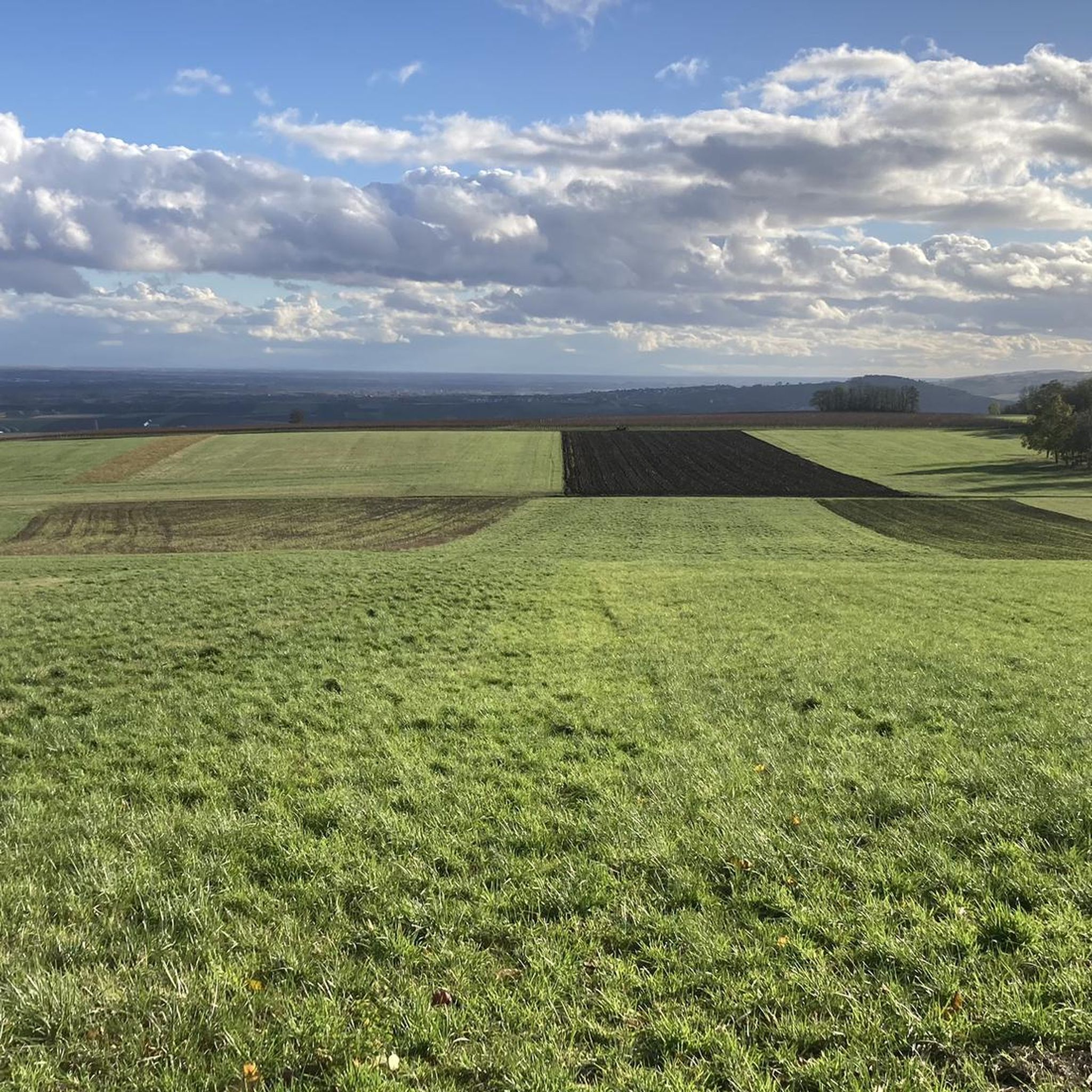
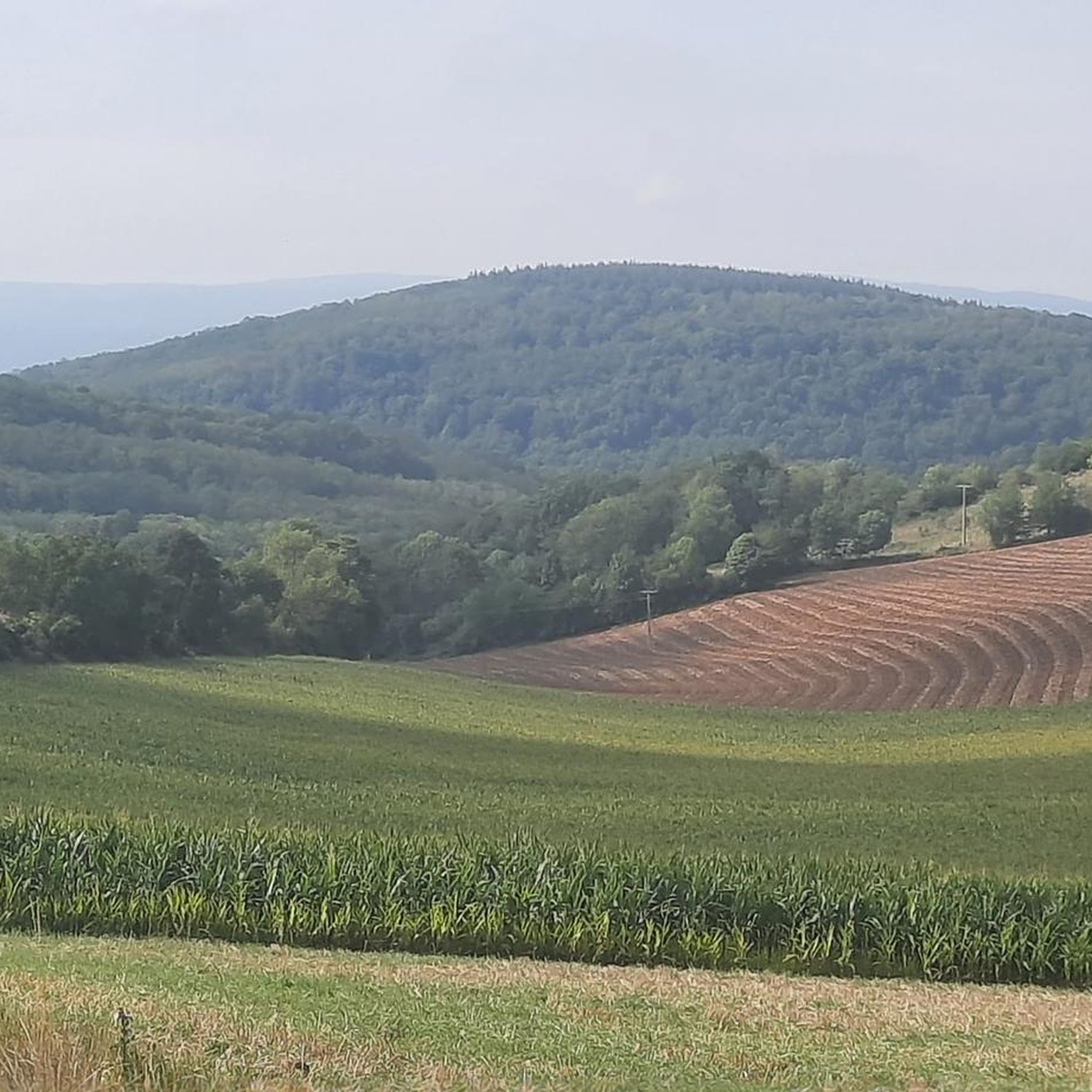

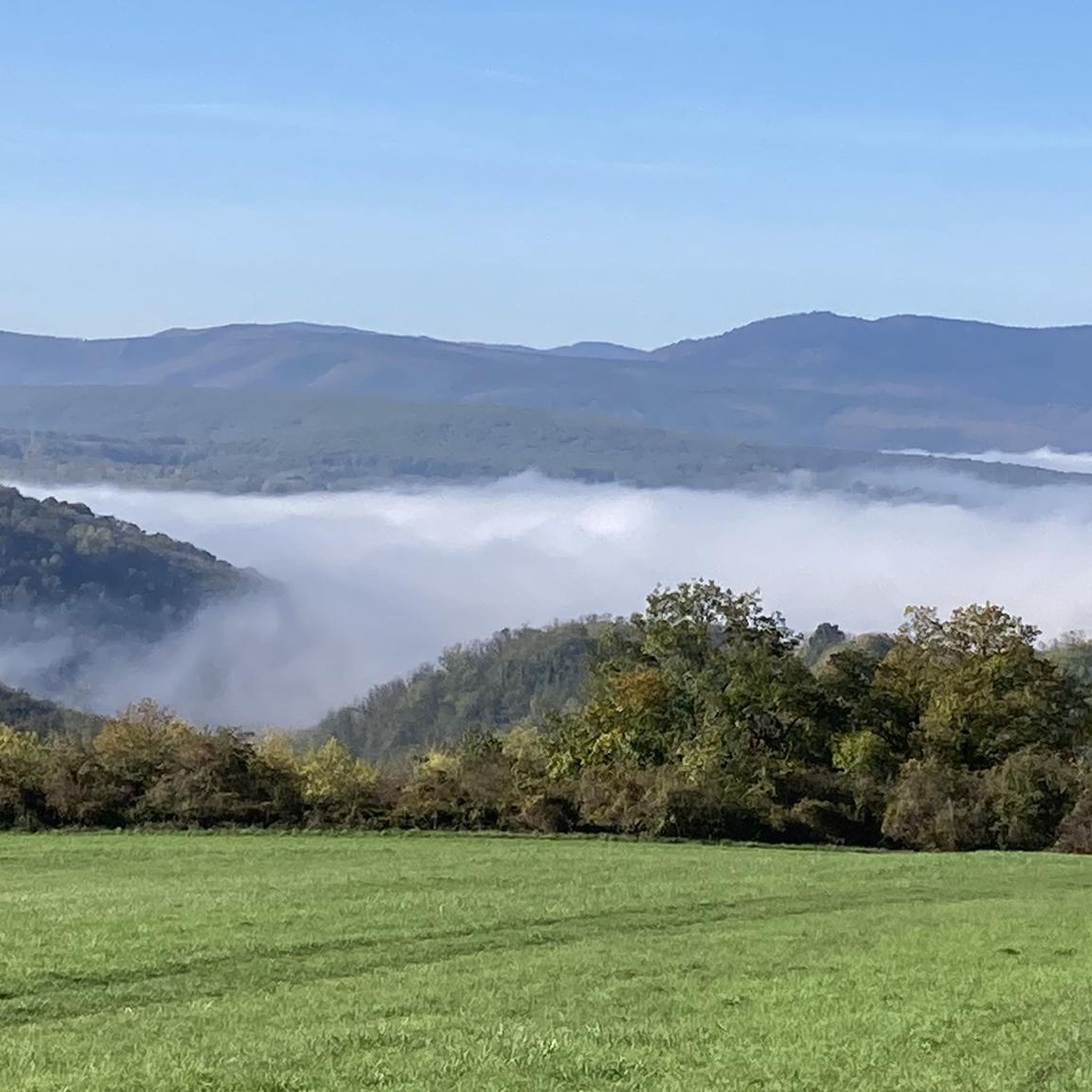

Tips from the Community

On 277m rock with waterfall, which is fed by a diversion of the Ziegbach
0
0
Shelter near the waterfall of the same name built in 1989
0
0

Very nice to ride: moderate gradient, little traffic.
0
1

Beautiful trails. Unfortunately, a section was closed, private. But we continued, just in a different way.
0
0


Interesting rock formation with a view. There is a niche lovingly decorated with garden gnomes...
0
0
Frequently Asked Questions
How many mountain bike trails are available around Zeinheim?
There are over 110 mountain bike trails around Zeinheim, offering a wide range of options for different skill levels. This includes 13 easy routes, 85 moderate routes, and 13 difficult routes.
Are there mountain bike trails suitable for beginners or families in Zeinheim?
Yes, Zeinheim offers 13 easy mountain bike trails that are suitable for beginners or families looking for a less strenuous ride. These routes typically feature gentler terrain and shorter distances.
What is the typical length and duration of mountain bike trails in Zeinheim?
The mountain bike trails around Zeinheim vary significantly in length and duration. For example, a moderate route like the Former Romanswiller station – Mencke Shelter loop from Wasselonne is about 19.4 miles (31.2 km) and takes around 2 hours 11 minutes. Longer, more challenging routes can extend to over 30 miles and take several hours to complete.
Are there challenging mountain bike routes for advanced riders?
Yes, Zeinheim features 13 difficult mountain bike routes for experienced riders seeking a challenge. An example is the Relais du Geisweg – Col des Pandours loop from Wasselonne, which covers 32.8 miles (52.8 km) with significant elevation changes.
What kind of scenery can I expect on the mountain bike trails in Zeinheim?
The trails around Zeinheim are characterized by rolling hills, varied terrain, and a mix of open and potentially forested sections. Many routes offer scenic viewpoints and pass through areas with historical points and shelters, providing both physical challenge and visual interest.
Are there any interesting landmarks or attractions along the mountain bike routes?
Yes, several routes pass by notable landmarks. You might encounter the Cycle path on the old railroad line, the historic Villa Meteor, or the impressive Marmoutier Abbey Church. The Former Romanswiller station is also a point of interest on some trails.
What do other mountain bikers say about the trails in Zeinheim?
The mountain bike trails in Zeinheim are highly regarded by the komoot community, holding an average rating of 4.5 stars from over 140 reviews. Riders often praise the diverse landscape, varied elevation, and the well-maintained nature of the routes.
Are there loop trails available for mountain biking in Zeinheim?
Yes, many of the mountain bike trails around Zeinheim are designed as loops, allowing you to start and finish at the same point. Examples include the Former Romanswiller station – Relais du Geisweg loop from Nordheim and the Goeftberg Viewpoint – Wasselonne Town Centre loop from Nordheim.
When is the best time of year to go mountain biking in Zeinheim?
The best time for mountain biking in Zeinheim is generally from spring through autumn, when the weather is mild and trails are dry. While some trails may be accessible in winter, conditions can be more challenging due to cold, rain, or potential snow.
Are there any trails that offer particularly good viewpoints?
Yes, several routes are known for their scenic vistas. The Goeftberg Viewpoint – Wasselonne Town Centre loop from Nordheim explicitly highlights a viewpoint, and many other trails traverse elevated areas offering panoramic views of the surrounding rolling hills.
Can I find mountain bike routes that pass by places to eat or rest?
While specific cafes are not always directly on every trail, many routes pass through or near towns like Wasselonne and Nordheim, where you can find options for refreshments. Additionally, some trails feature designated rest areas or shelters, such as the Rest area highlight.
Most popular attractions around Zeinheim

Get inspired with the komoot mobile app


Explore more
Browse the best MTB trails in other regions.
