The best road cycling routes around Bourg-Argental
4.5
(185)
3,719
riders
13
rides
Road cycling routes around Bourg-Argental are situated within the Pilat Regional Natural Park, characterized by its mountainous terrain and diverse landscapes. The region features a middle-mountain relief with varied elevation changes, dense forests, and river valleys, providing a challenging environment for road cyclists. Numerous mountain passes, including the historically significant Col de la République, define the area's topography. The well-developed cycling infrastructure caters to various fitness levels.
Best road cycling routes around Bourg-Argental
- The most popular road cycling route is…
Last updated: October 18, 2026
4.8
(4)
79
riders
60.7km
03:29
1,360m
1,360m
Hard road ride. Very good fitness required. Mostly well-paved surfaces and easy to ride.
37
riders
52.0km
02:41
930m
930m
Hard road ride. Very good fitness required. Mostly well-paved surfaces and easy to ride.

28
riders
53.7km
02:45
960m
960m
Hard road ride. Very good fitness required. Mostly well-paved surfaces and easy to ride.
5.0
(3)
53
riders
46.2km
03:17
1,080m
1,080m
Hard road ride. Very good fitness required. Some segments of this route may be unpaved and difficult to ride.
4.0
(1)
25
riders
60.3km
03:10
1,090m
1,090m
Hard road ride. Very good fitness required. Mostly well-paved surfaces and easy to ride.
Get access to more routes and recommendations from other explorers.
Already have an account?
Our route recommendations are based on thousands of hikes, rides, and runs completed by other people on komoot.
Start today with a free account
Your next adventure awaits.




Tips from the Community

It is interesting what kind of information you find; the shortage of money is therefore not a modern invention. "In 1835, the municipal council decided to enlarge the church and found that the capacity was too small for the number of believers present in the town. Due to a lack of funds, the work, with the support of Cardinal Donnet, lasted until 1853".
0
0


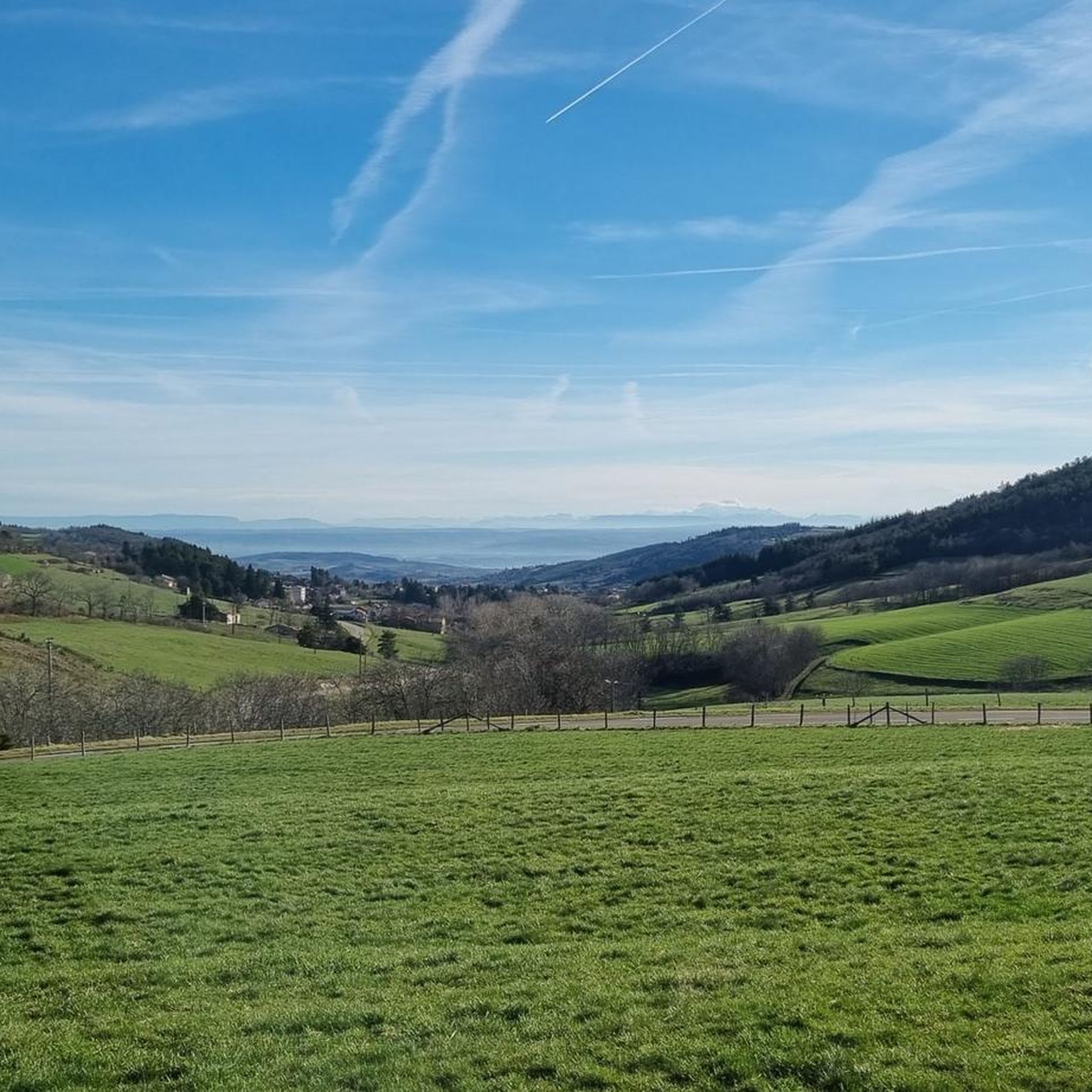
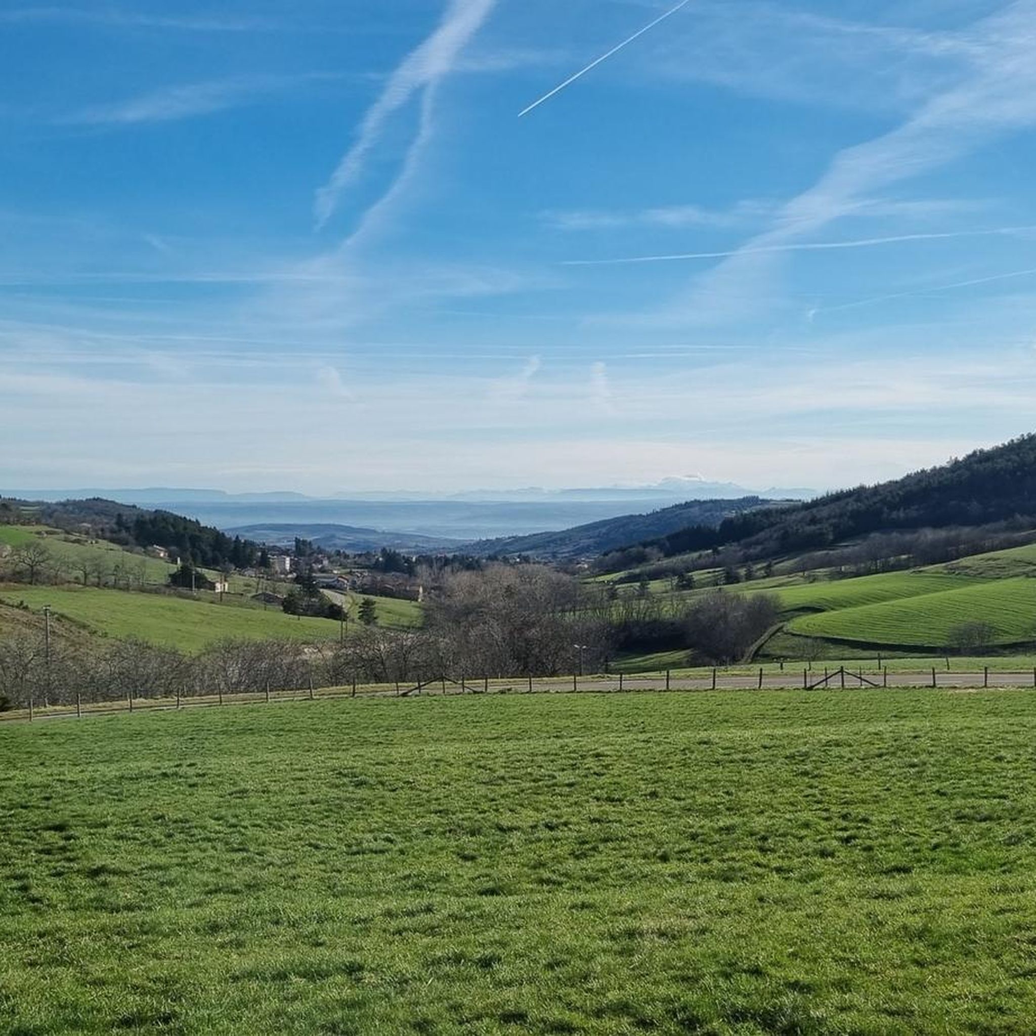
Magnificent view towards the south of the snow-covered Pilat.
0
0
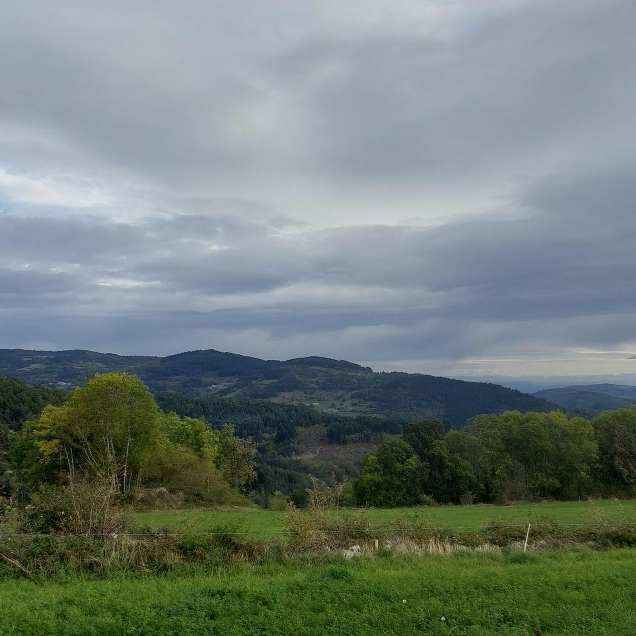
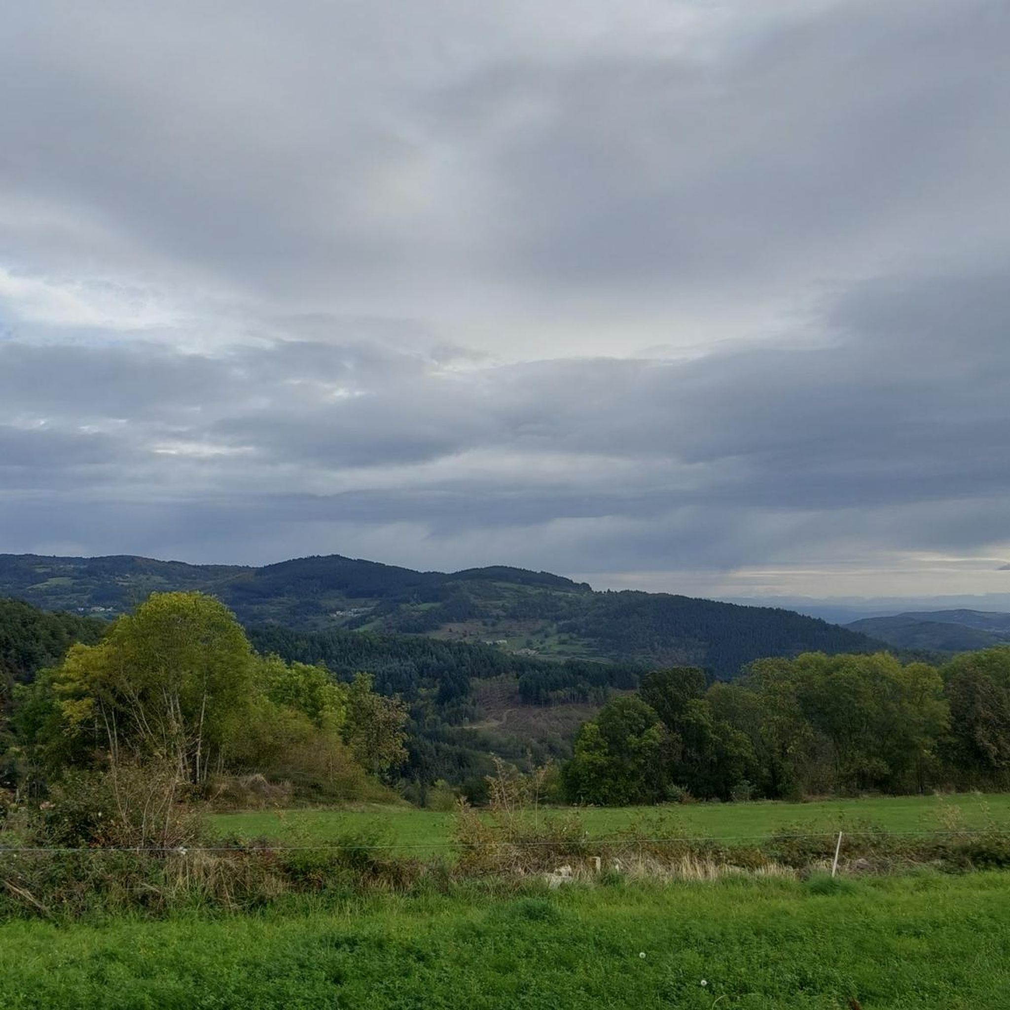
A superb November morning, with a changing mist.
0
0

To finish in style, we head towards the real objective, after the pass of the same name!
1
0


The Col du Pilat. A billiard-style surface from Le Collet. It's worth continuing the climb to Crêt de la Botte (second antenna after the parking lot) for a nearly 360-degree panorama.
0
0
good elevation gain to the castle.
0
0
Frequently Asked Questions
How many road cycling routes are available around Bourg-Argental?
There are 15 dedicated road cycling routes around Bourg-Argental, offering a variety of experiences within the Pilat Regional Natural Park. These routes are categorized by difficulty, with 7 moderate and 8 difficult options.
What are the typical difficulty levels for road cycling in Bourg-Argental?
Road cycling routes in Bourg-Argental are generally categorized as moderate to difficult, reflecting the region's mountainous terrain and significant elevation changes. You'll find 7 moderate routes and 8 difficult routes, ensuring options for various fitness levels seeking a challenge.
Are there any circular road cycling routes in the area?
Yes, many of the road cycling routes around Bourg-Argental are designed as loops. For example, the Col de la République – Chaubouret Cross loop from Bourg-Argental is a challenging 60 km circuit, and the Ternay Dam and Lake – Ternay Dam Loop loop from Bourg-Argental offers a moderate 51 km ride.
What kind of landscapes can I expect to see while road cycling around Bourg-Argental?
The routes traverse diverse landscapes within the Pilat Regional Natural Park, featuring dense forests, picturesque river valleys, and expansive meadows. You'll encounter stunning panoramic views from mountain passes and summits, particularly around the Crêt de l'Œillon and Col de la République.
What are some notable landmarks or viewpoints along the road cycling routes?
Road cyclists can enjoy several significant landmarks and viewpoints. The historic Col de l'Œillon (1233 m) and the summit of Crêt de l'Œillon offer spectacular 360-degree views. The Crêt de la Perdrix is another remarkable summit. Additionally, the scenic Barrage du Ternay (Ternay Dam) and Lac du Ternay are often included in routes, providing beautiful waterside views.
Are there any historically significant cycling passes in the region?
Absolutely. The Col de la République (1,161 meters) is particularly notable, as it was the first pass over 1,000 meters crossed by the Tour de France in 1903. It presents regular yet demanding gradients for cyclists today.
What is the best time of year for road cycling in Bourg-Argental?
The region is generally suitable for cycling across various seasons. However, the middle-mountain relief means that higher passes might be more accessible and enjoyable during late spring, summer, and early autumn when weather conditions are more stable and temperatures are milder. Always check local weather forecasts before heading out.
What do other road cyclists say about the routes in Bourg-Argental?
The road cycling routes around Bourg-Argental are highly rated by the komoot community, with an average score of 4.7 stars from over 70 reviews. Cyclists often praise the challenging climbs, the well-maintained road surfaces, and the stunning panoramic views from the various passes and summits.
Are there any long-distance cycling paths or greenways near Bourg-Argental?
Yes, the Via Fluvia, a cycling route utilizing former railway lines, has a provisional stretch near Bourg-Argental. This section follows quiet roads and crosses the Col du Tracol (1,023m), offering high-altitude landscapes, dense forests, and meadows.
Where can I find more information about cycling in the Pilat Regional Natural Park?
The Pilat Regional Natural Park is very cyclist-friendly. You can find extensive information about the region's commitment to cycling, including various paths, quiet roads, and historic passes, through initiatives like Pilat à Vélo. The area is also labeled by the French Cycling Federation (FFC), indicating quality routes and infrastructure.
Are there any moderate road cycling routes suitable for a less intense ride?
Yes, while many routes are challenging, there are moderate options. The Ternay Dam and Lake – Col du Fayet loop from Bourg-Argental is a popular moderate route, covering about 48.7 km and leading through scenic areas including the Ternay Dam and Lake.
What facilities are available for cyclists in Bourg-Argental and the surrounding area?
Bourg-Argental and the Pilat region are well-equipped for cyclists. You'll find amenities such as shops, restaurants, and accommodation. Rental services for bikes and electric-assisted bikes (VAE) are also available, along with guides to help plan your routes.
Most popular routes around Bourg-Argental
Most popular attractions around Bourg-Argental

Get inspired with the komoot mobile app


Explore more
Browse the best Road cycling routes in other regions.
