The best walks and hikes around Villard-Bonnot
4.5
(2752)
28,938
hikers
491
hikes
Hiking around Villard-Bonnot offers access to the mountainous terrain of the Isère department, situated between the Chartreuse massif and the Belledonne range within the Grésivaudan valley. The region is characterized by dramatic mountain scenery, providing a backdrop of peaks and valleys. Trails often feature varied elevation, leading through forested areas and open mountain landscapes.
Best hiking trails around Villard-Bonnot
- The most popular hiking route is Col du Coq – Baure Pass loop from Saint-Nazaire-les-Eymes, a 11.8 miles (19.0 km)…
Last updated: October 12, 2026
4.1
(9)
43
hikers
19.0km
08:41
1,380m
1,380m
Hard hike. Very good fitness required. Sure-footedness, sturdy shoes and alpine experience required.
4.0
(2)
46
hikers
9.61km
03:09
420m
420m
Moderate hike. Good fitness required. Easily-accessible paths. Suitable for all skill levels.

4.9
(15)
40
hikers
15.9km
06:13
900m
900m
Hard hike. Very good fitness required. Sure-footedness, sturdy shoes and alpine experience required.
3.9
(7)
23
hikers
6.02km
01:55
260m
260m
Easy hike. Great for any fitness level. Easily-accessible paths. Suitable for all skill levels.
4.6
(7)
55
hikers
5.51km
01:27
10m
10m
Moderate hike. Great for any fitness level. Mostly accessible paths. Sure-footedness required.
Get access to more routes and recommendations from other explorers.
Already have an account?
Our route recommendations are based on thousands of hikes, rides, and runs completed by other people on komoot.
Start today with a free account
Your next adventure awaits.
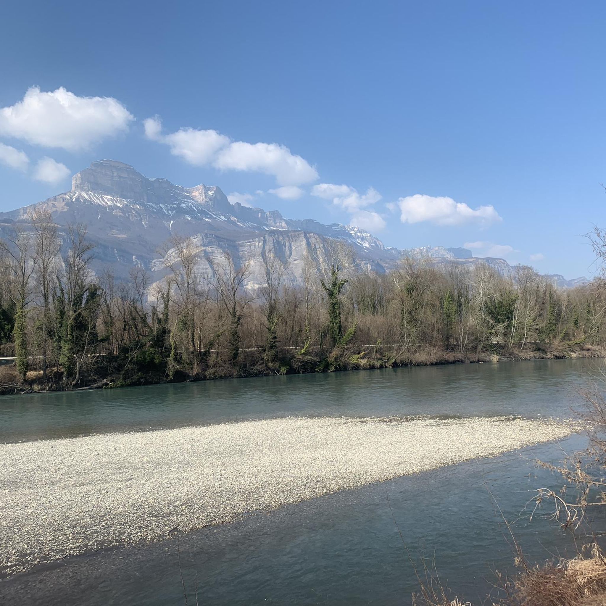
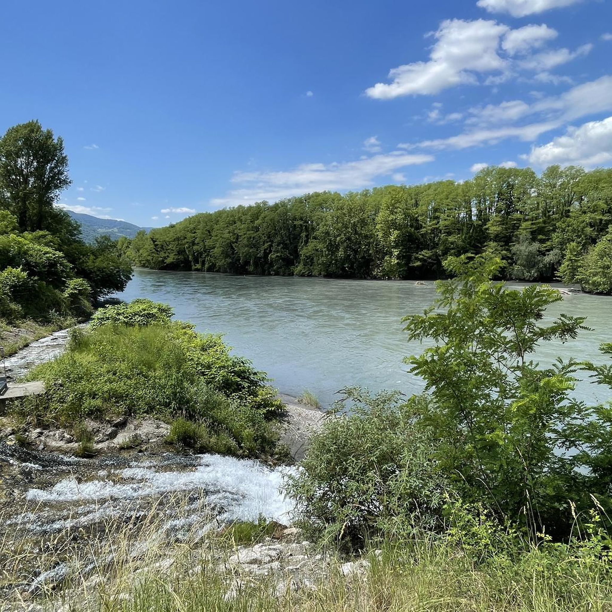
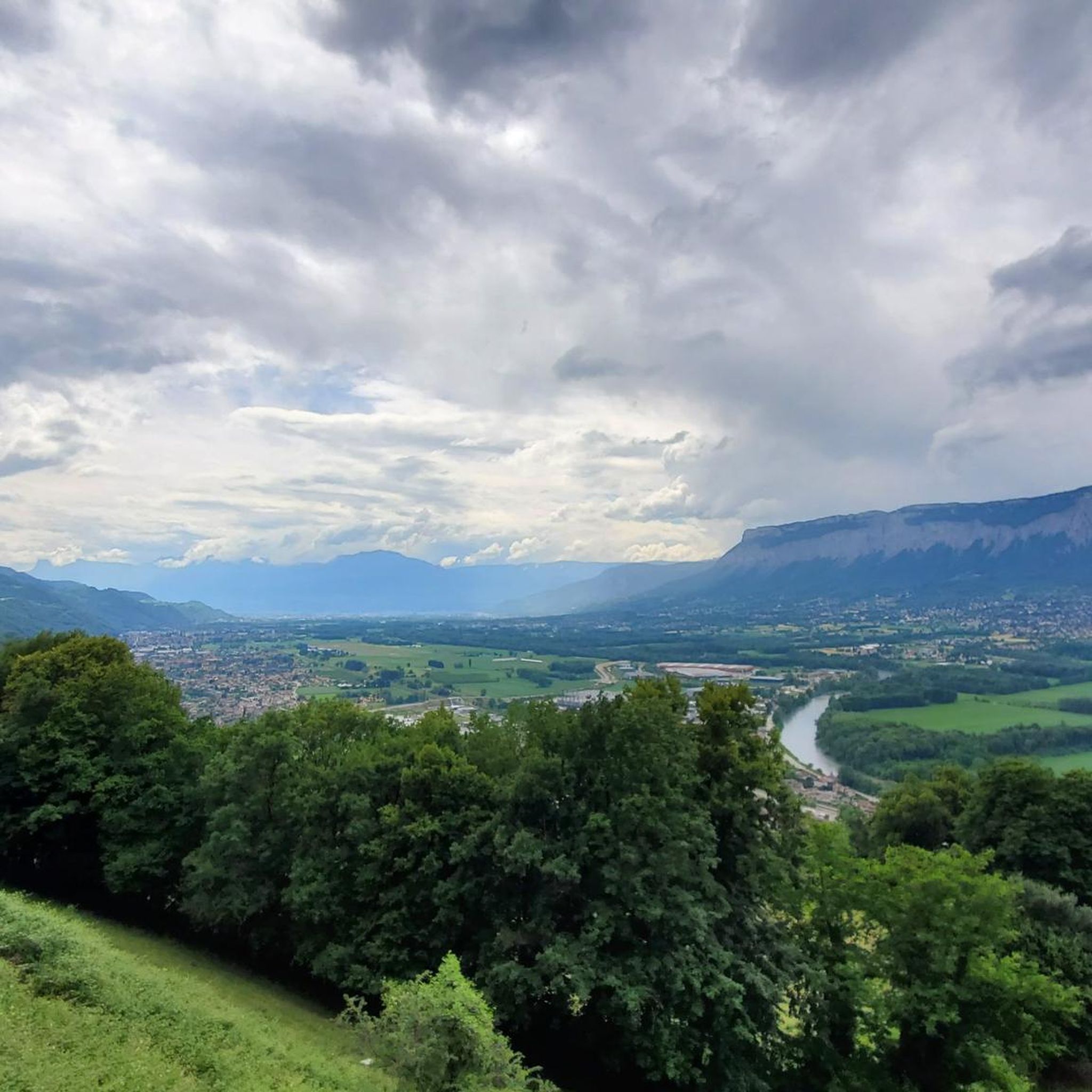
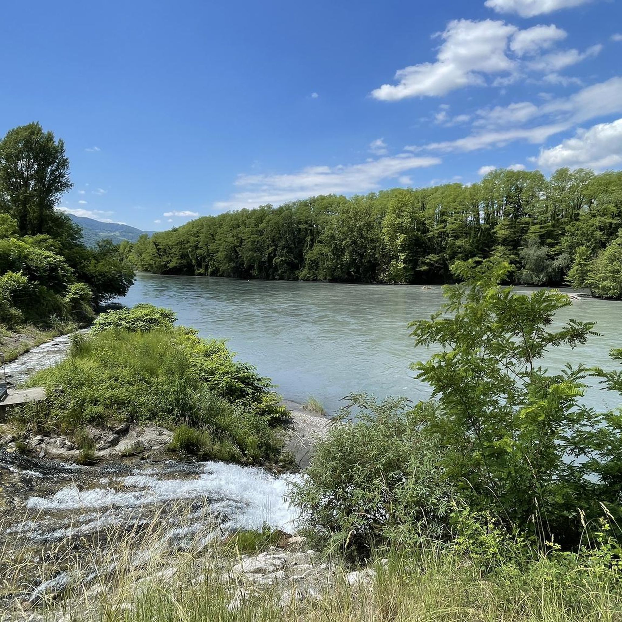

Tips from the Community

Grassy path where it is easy to let yourself get carried away and pick up speed.
0
0

Exceptional site at the foot of the Dent de Crolle with access via a wild forest road
2
0


Perched at 1,434 meters, the Col du Coq is accessible after a twelve-kilometer climb regardless of the direction of the road taken. It offers a beautiful view of the Dent de Crolles.
0
0

Beautiful view of the region, accessible tower, table for lunch, orientation table.
0
0

A pass with little crowds (end of April 2024). The road is open despite the signs (no snow removal). The bitumen is correct, average in places (mounted in Gravel). A few very steep slopes with a small flat area which allows you to breathe on the Charteuse side. No infrastructure at the top. Road and bitumen in good condition on the St-Pacrasse side.
2
1

The bottom of the descent is made up of fairly high steps, for a beginner mountain biker you will have to get off the bike!
0
0
Frequently Asked Questions
How many hiking trails are available around Villard-Bonnot?
Villard-Bonnot offers a wide variety of hiking opportunities, with over 440 trails recorded on komoot. These range from easy strolls to challenging mountain ascents, catering to all levels of experience.
What kind of terrain can I expect on hikes around Villard-Bonnot?
The terrain around Villard-Bonnot is characterized by its dramatic mountain scenery, nestled between the Chartreuse massif and the Belledonne range within the Grésivaudan valley. You can expect varied elevation, leading through forested areas, open mountain landscapes, and paths offering panoramic views of the surrounding massifs and valleys.
Are there easy hiking options for beginners or casual walkers?
Yes, there are plenty of easy options. Over 100 of the routes around Villard-Bonnot are classified as easy. For a gentle walk, consider the Scenic Gravel Path – Mongiron Ridges loop from Saint-Jean-le-Vieux, which is just over 6 km long and features moderate elevation changes. Another accessible option is the Bucolic Path loop from Aérodrome de Grenoble Le Versoud, which is relatively flat.
Are there challenging hikes for experienced trekkers?
Absolutely. For those seeking a challenge, there are over 110 difficult routes. The region's mountainous terrain provides ample opportunity for strenuous climbs. An example is the Col du Coq – Baure Pass loop from Saint-Nazaire-les-Eymes, an 18.9 km trail with significant elevation gain, offering extensive views of the surrounding massifs.
What natural landmarks or viewpoints can I see on a hike?
The region is rich in natural landmarks and offers spectacular viewpoints. You can find trails leading to high peaks like Chamechaude and Dent de Crolles in the Chartreuse massif, which provide unparalleled panoramic views. Many routes also feature belvederes, such as the Charmant Som Lookout, offering stunning vistas of the Grésivaudan valley and the Belledonne range.
Are there hikes that feature waterfalls?
Yes, the area around Villard-Bonnot has several beautiful waterfalls. You can explore highlights like the Oursière Waterfall or the Dioux Waterfall. For more options, you can find trails that lead to the Belvedere and Waterfalls in Parc Naturel Régional de Chartreuse or the Cirque of the Boulon Waterfalls.
Are there hikes that visit lakes or offer water views?
Yes, the region boasts several stunning mountain lakes. A notable destination is Lake Crozet, perched at 1,974 meters and encircled by imposing rocky peaks. Other lakes you might encounter on trails include Lake Crop, White Lake, and Petit Domenon Lake.
What do other hikers enjoy the most about hiking in Villard-Bonnot?
The area is highly rated by the komoot community, with an average score of 4.5 stars from over 2,300 reviews. Hikers often praise the dramatic mountain scenery, the variety of trails for all skill levels, and the breathtaking panoramic views from the massifs. Many appreciate the well-marked paths and the opportunity to explore both forested areas and open alpine landscapes.
Are there circular hiking routes available?
Yes, many of the trails around Villard-Bonnot are designed as circular routes, allowing you to start and end at the same point without retracing your steps. Examples include the Commemorative plaque – Baure Pass loop from Saint-Ismier and the Col du Lautaret loop from Laval-en-Belledonne.
Is Villard-Bonnot a good destination for family-friendly hikes?
Yes, Villard-Bonnot offers numerous family-friendly options, particularly among its over 100 easy routes. These trails often feature gentler inclines and shorter distances, making them suitable for children. The diverse landscapes provide engaging environments for families to explore together.
Can I bring my dog on the trails around Villard-Bonnot?
Generally, dogs are welcome on many hiking trails in the Isère region. However, it's always best to check specific regulations for certain areas, especially within protected natural parks or reserves, where leashes may be mandatory or access restricted. Always ensure your dog is under control and respect local wildlife.
What is the best time of year for hiking in Villard-Bonnot?
The best time for hiking in Villard-Bonnot is typically from late spring to early autumn (May to October), when the weather is mild and trails are clear of snow. Summer offers warm temperatures and full access to higher mountain routes. Autumn provides beautiful foliage, while spring brings blooming wildflowers. Winter hiking is possible, but requires appropriate gear and experience for snow-covered trails.
Most popular routes around Villard-Bonnot
Most popular attractions around Villard-Bonnot

Get inspired with the komoot mobile app


Explore more
Browse the best Hikes in other regions.
