The best walks and hikes around Banzenheim
4.6
(1889)
8,360
hikers
596
hikes
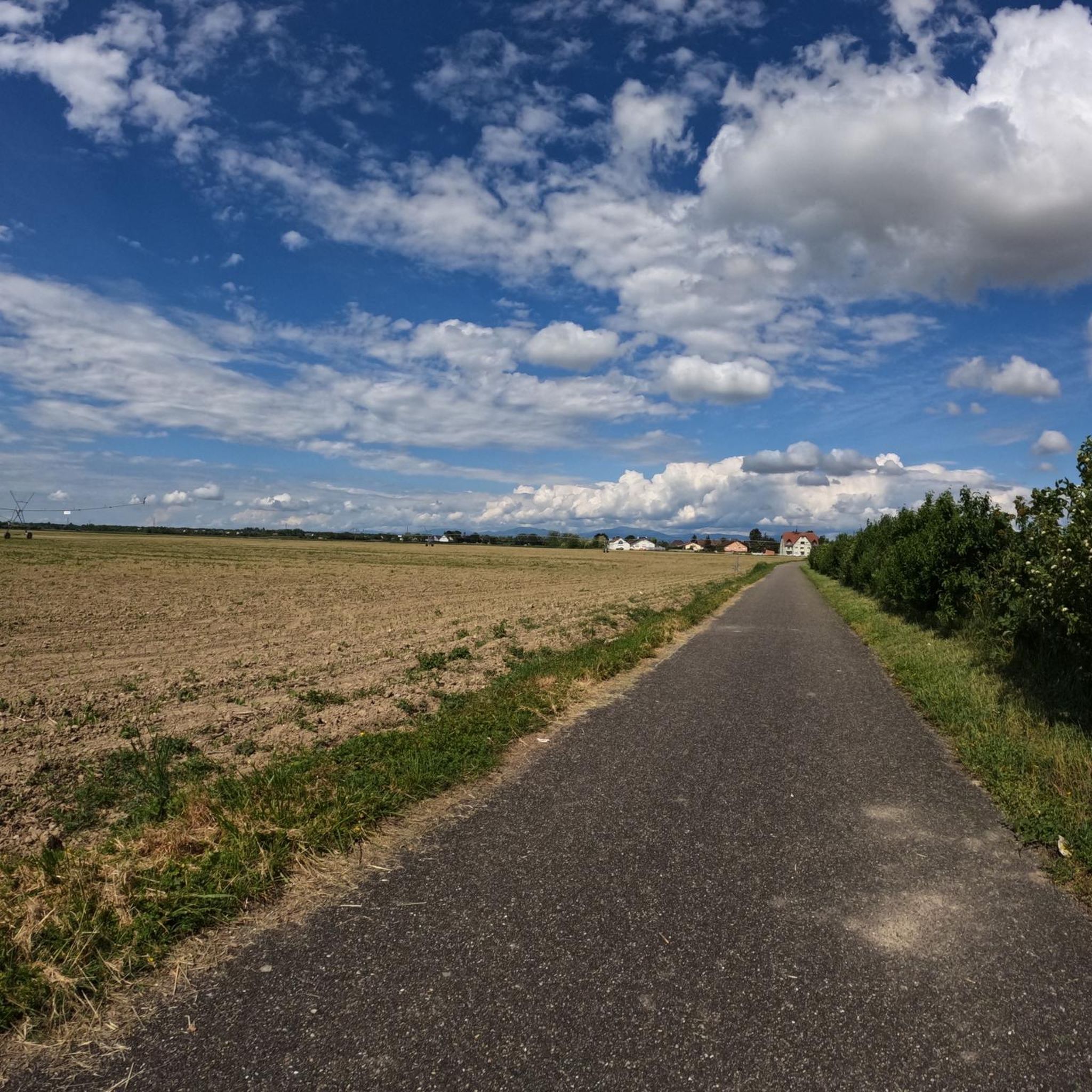
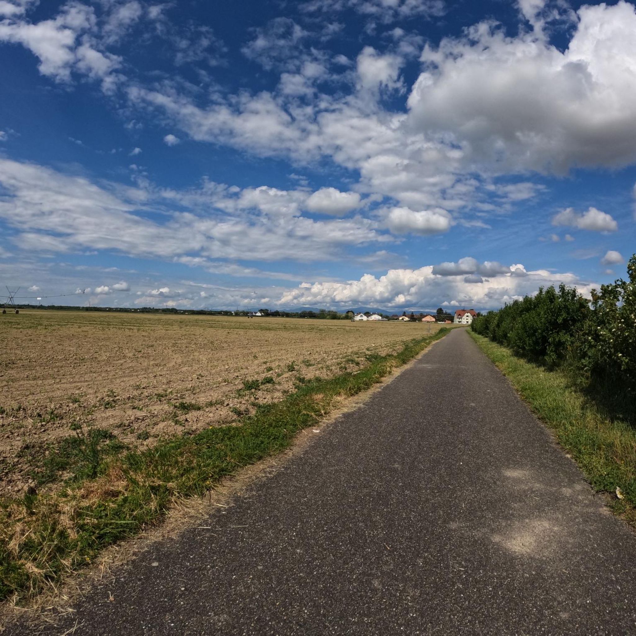
Hiking around Banzenheim offers access to the diverse landscapes of the Haut-Rhin department in Alsace, France. The region is characterized by its proximity to the Rhine Valley, featuring flat riverine areas and agricultural lands, and the foothills leading towards the Vosges Mountains. This topography provides a mix of forested paths, open fields, and views over vineyards. The area's natural features include the Rhine river and smaller lakes, offering varied terrain for outdoor activities.
Best hiking trails around Banzenheim
- The most…
Last updated: July 1, 2026
4.8
(19)
89
hikers
4.07km
01:02
10m
10m
Easy hike. Great for any fitness level. Easily-accessible paths. Suitable for all skill levels.
4.1
(9)
40
hikers
Moderate hike. Good fitness required. Easily-accessible paths. Suitable for all skill levels.

Sign up for free
4.4
(8)
29
hikers
Moderate hike. Good fitness required. Easily-accessible paths. Suitable for all skill levels.
4.5
(6)
35
hikers
Moderate hike. Good fitness required. Easily-accessible paths. Suitable for all skill levels.
2.8
(4)
34
hikers
3.85km
00:59
10m
10m
Easy hike. Great for any fitness level. Easily-accessible paths. Suitable for all skill levels.
Get access to more routes and recommendations from other explorers.
Sign up for free
Already have an account?
Our route recommendations are based on thousands of hikes, rides, and runs completed by other people on komoot.
Start today with a free account
Your next adventure awaits.
Login or Signup
Tips from the Community

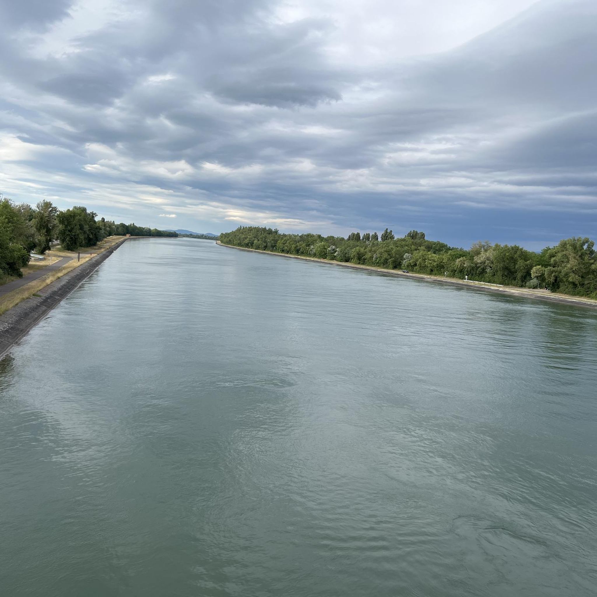
Beautiful view of a tributary of the Rhine.
0
0

Very beautiful fish fountain in Neuenburg.
0
0
Beautiful statue of Saint John of Nepomuk in front of the Bertholdsturm.
0
0
Beautifully designed market square in Neuenburg.
0
0
Magnificent panoramic view from the Bertholdsturm. In Neuenburg am Rhein, you should at least visit the Bertholdsturm and enjoy the view of the landscape and the city.
0
0
Very beautifully designed market square in Neuenburg.
0
0

Neuenburg market square with town hall
1
0

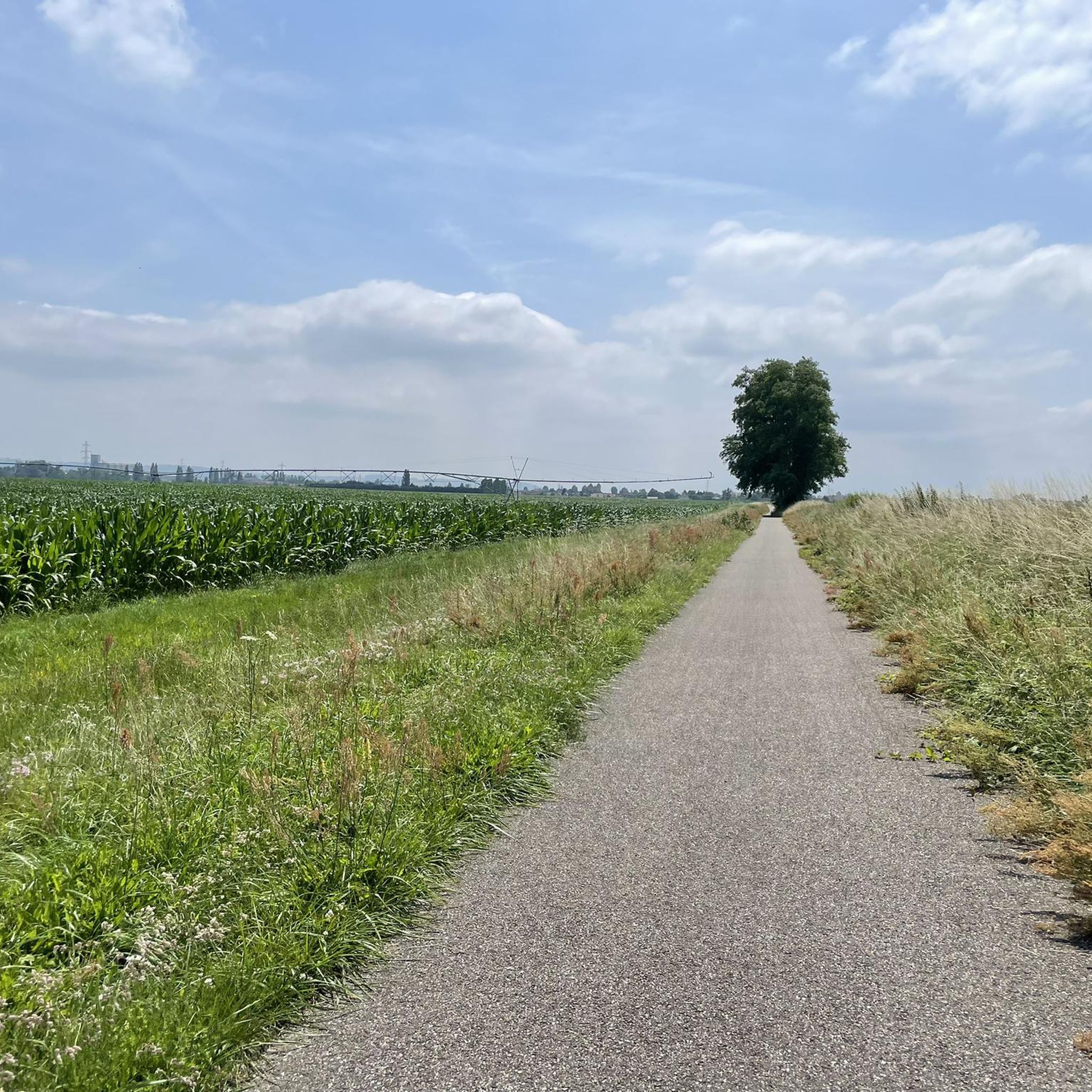
Well separated path between pedestrians and cyclists, if you believe in it
2
0
Frequently Asked Questions
What types of landscapes can I expect to see while hiking around Banzenheim?
Hiking around Banzenheim offers a diverse range of landscapes. You'll find riverine paths along the Rhine, agricultural fields, and forested sections. The region is also a gateway to the foothills of the Vosges Mountains, providing opportunities to experience both flat, open areas and more undulating terrain with views over vineyards.
Are there hiking trails suitable for all skill levels in the Banzenheim area?
Yes, the Banzenheim area caters to hikers of all abilities. Out of over 600 available routes, you'll find a wide selection of easy strolls, moderate excursions, and some more challenging paths. For example, the Wuhrloch Lake – Rhine Gardens loop from Neuenburg am Rhein is an easy 2.5-mile trail, while the On the Rhine – View of the Neuenburg Lake loop from Neuenburg am Rhein offers a moderate 5.0-mile experience.
What do other hikers enjoy most about the trails near Banzenheim?
The hiking routes around Banzenheim are highly rated by the komoot community, with an average score of 4.6 stars from over 1600 reviews. Hikers often praise the varied terrain, from serene riverside paths to peaceful forested sections, and the accessibility of routes for different fitness levels. The scenic views of the Rhine and surrounding nature are also frequently highlighted.
Are there any circular hiking routes available near Banzenheim?
Yes, many of the trails around Banzenheim are circular, allowing you to start and end at the same point. An example is the Neuenburg-on-Rhine Bridge – Green Peak Trail pergola loop from Chalampé, a moderate 5.5-mile route that takes you through riverside areas and the Green Peak Trail.
What natural features or landmarks can I see along the hiking trails?
The trails around Banzenheim offer views of the Rhine river and various lakes, such as Wuhrloch Lake and Neuenburg Lake. You can also explore highlights like the Neuenburg-on-Rhine Bridge and a Viewing platform on the Rhine. Further afield, the region boasts the Vosges Mountains, glacial lakes like Lac Vert and Lac Blanc, and the picturesque Alsace Wine Route.
Are there any historical sites or castles accessible via hiking routes?
While Banzenheim itself is more focused on riverine and agricultural landscapes, the broader Haut-Rhin department is rich in historical sites. You can find several castles nearby, such as the Badenweiler Castle Ruins, Badenweiler Castle, and Hombourg Castle. These often have trails leading to them or offering scenic views from their vicinity.
Is it possible to hike with dogs on the trails around Banzenheim?
Many trails in the Banzenheim area are suitable for hiking with dogs, especially those through forests and along river paths. It's always recommended to keep dogs on a leash, particularly in nature reserves or agricultural areas, and to check local regulations for specific routes. The open landscapes and varied terrain generally make for enjoyable walks with canine companions.
Are the hiking trails around Banzenheim suitable for families with children?
Yes, there are many family-friendly options. The region offers numerous easy and relatively flat paths, particularly along the Rhine and around local lakes, which are ideal for families. The On the Rhine loop from Parkplatz Schützenhaus is an easy 2.4-mile route that could be a good choice for a family outing.
What is the best time of year to go hiking in Banzenheim?
The best time to hike around Banzenheim is generally from spring to autumn (April to October). During these months, the weather is mild and pleasant, making it ideal for exploring the riverine landscapes, forests, and vineyards. Spring brings blooming flora, while autumn offers beautiful fall colors. Winter hiking is possible, but some paths might be muddy or require appropriate gear.
Are there options for parking near the trailheads in Banzenheim?
Yes, many of the popular hiking routes around Banzenheim have designated parking areas near their trailheads. For instance, the Rhine Gardens – Fischbrunnen Fountain loop starts from Parkplatz Schützenhaus, indicating convenient parking availability for hikers.
How long do hikes around Banzenheim typically take?
The duration of hikes varies significantly depending on the route's length and your pace. Easy trails like the Wuhrloch Lake – Rhine Gardens loop can be completed in about an hour. Moderate routes, such as the Neuenburg-on-Rhine Bridge – Green Peak Trail pergola loop, typically take around 2 hours and 15 minutes. There are also longer options for those seeking a full day out.
Most popular routes around Banzenheim
Most popular attractions around Banzenheim

Get inspired with the komoot mobile app


Explore more
Browse the best Hikes in other regions.
