The best running trails around Chantemerle-Lès-Grignan
4.6
(79)
2,473
runners
213
runs
Jogging routes around Chantemerle-Lès-Grignan traverse a landscape characterized by rolling hills, agricultural plains, and picturesque villages. The region features a mix of open fields, including lavender, and sections of woodland, offering varied terrain for running. Elevation changes are generally moderate, providing accessible paths for different fitness levels.
Best jogging routes around Chantemerle-Lès-Grignan
- The most popular jogging route is Running loop from Valaurie, a 4.7 miles (7.6 km) trail that takes 53 minutes to complete, offering views of the surrounding countryside.
- Another top favourite among local runners is Roussas Castle and Village loop from Valaurie, a moderate 3.1 miles (5.0 km) path that explores historical village settings and gentle rural scenery.
- Local runners also love the Lavender Fields loop from Grignan, a 8.2 miles (13.2 km) trail leading through fragrant lavender fields and open agricultural land, often completed in about 1 hour 25 minutes.
- Jogging around Chantemerle-Lès-Grignan is defined by rural paths, lavender fields, and charming village surroundings. The network offers options for easy, moderate, and difficult running, catering to various ability levels.
- The routes in Chantemerle-Lès-Grignan are highly rated by the komoot community with an average score of 4.6 stars from over 70 reviews. More than 2,400 runners have used komoot to explore Chantemerle-Lès-Grignan's varied terrain.
Last updated: July 9, 2026
7
runners
5.04km
00:32
50m
50m
Moderate run. Good fitness required. Mostly paved surfaces. Suitable for all skill levels.
5.0
(1)
6
runners
13.2km
01:25
90m
90m
Moderate run. Good fitness required. Mostly paved surfaces. Suitable for all skill levels.

Sign up for free
7
runners
7.63km
00:53
160m
160m
Moderate run. Good fitness required. Mostly paved surfaces. Suitable for all skill levels.
6
runners
13.6km
01:37
310m
310m
Hard run. Very good fitness required. Mostly paved surfaces. Suitable for all skill levels.
5
runners
11.9km
01:18
170m
170m
Moderate run. Good fitness required. Mostly paved surfaces. Suitable for all skill levels.
Get access to more routes and recommendations from other explorers.
Sign up for free
Already have an account?
Our route recommendations are based on thousands of hikes, rides, and runs completed by other people on komoot.
Start today with a free account
Your next adventure awaits.
Login or Signup

Tips from the Community

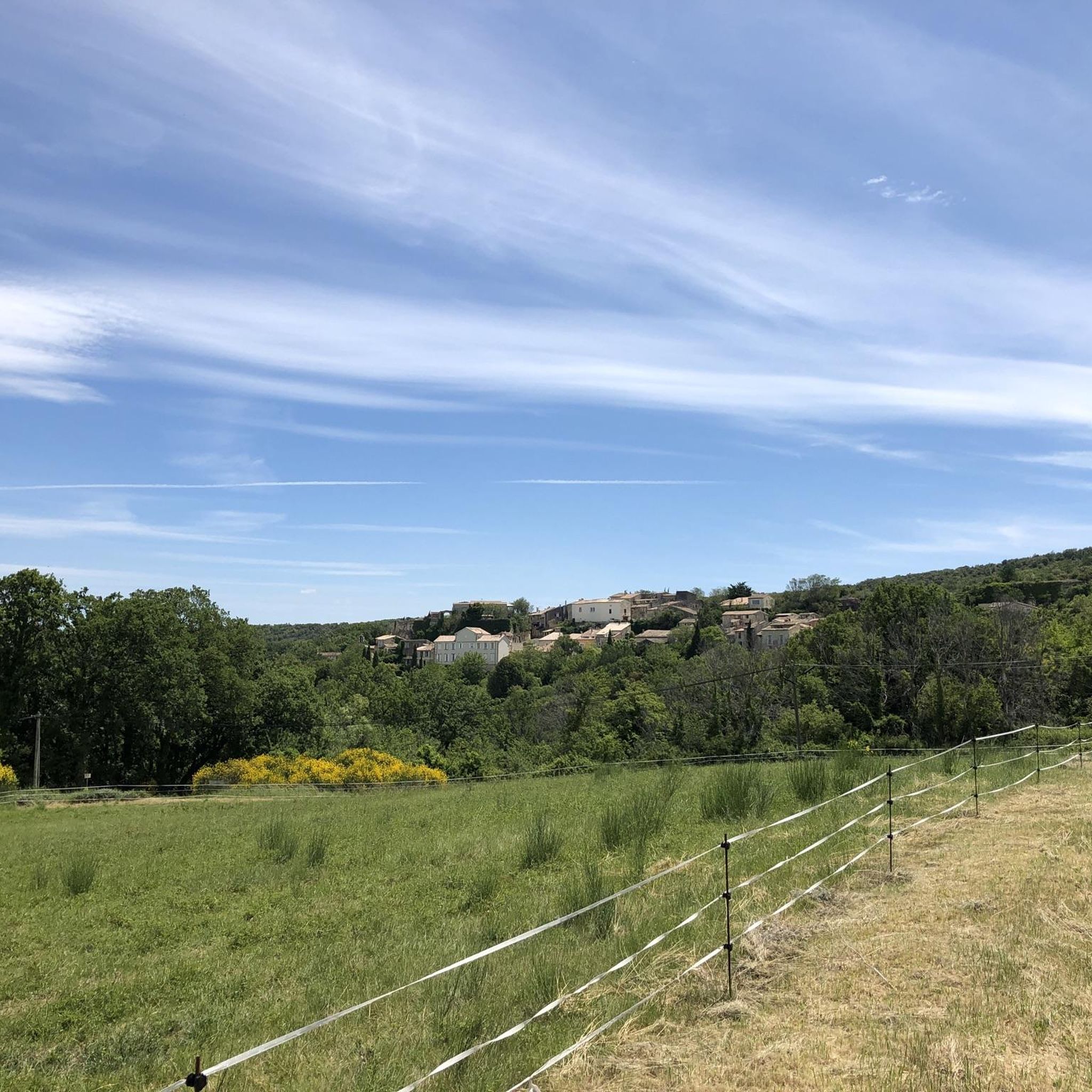
Beautiful fields, even in autumn.
0
0

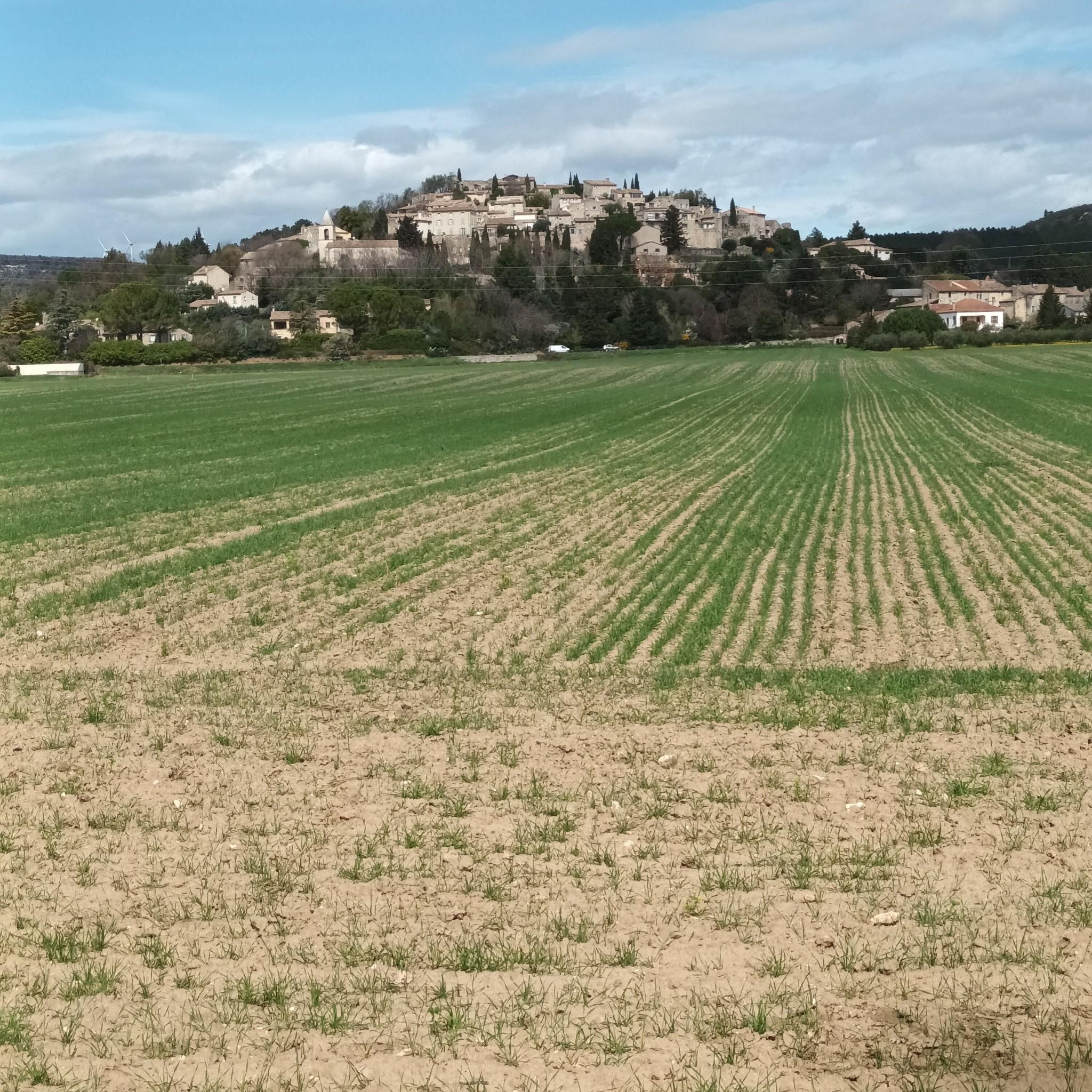
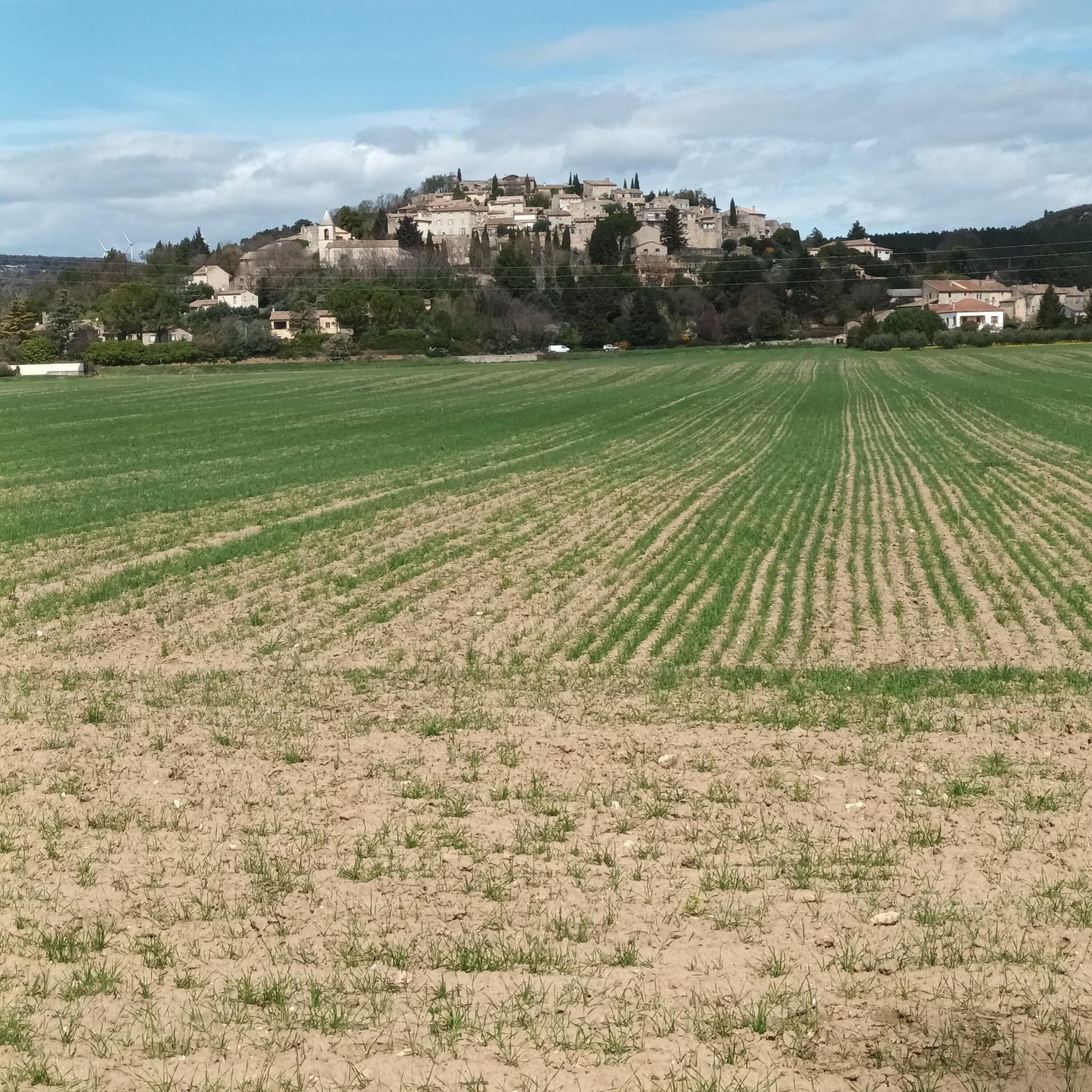
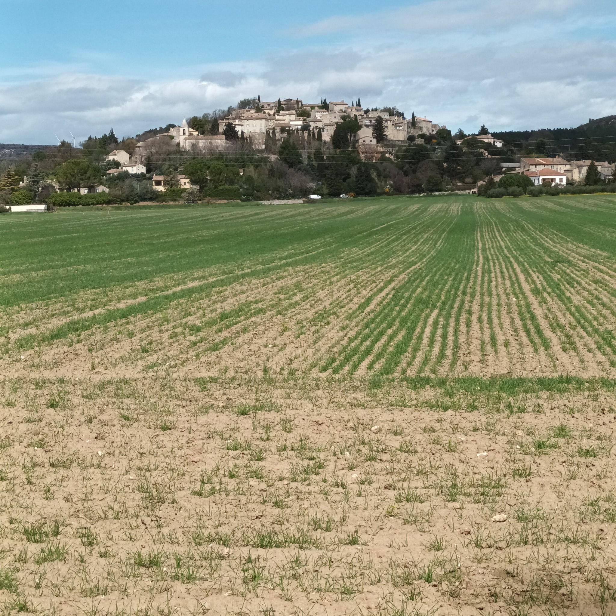
More than 10km from Grignan, Roussas is an old fortified village, perched on top of a rocky peak. You can find the remains of the 12th century castle.
2
0


Nice village with old "Dom" (currently being renovated) and an old Chateau you can get closer to on foot. The climb is worth the view.
1
1
Frequently Asked Questions
How many running routes are available around Chantemerle-Lès-Grignan?
There are over 230 running routes mapped around Chantemerle-Lès-Grignan on komoot. This extensive network offers a variety of options for different fitness levels and preferences.
What types of terrain can I expect on jogging trails in this region?
Jogging routes around Chantemerle-Lès-Grignan feature a diverse landscape, including rolling hills, agricultural plains, and charming villages. You'll encounter a mix of open fields, notably lavender fields, and sections of woodland, providing varied terrain. Elevation changes are generally moderate, making paths accessible for many.
Are there any easy or beginner-friendly running paths in Chantemerle-Lès-Grignan?
Yes, the region offers 24 easy running routes, perfect for beginners or those looking for a relaxed jog. These paths typically have minimal elevation gain and cover gentler terrain. For example, the Roussas Castle and Village loop from Valaurie is a moderate 3.1-mile path with gentle scenery.
Can I find longer distance running trails near Chantemerle-Lès-Grignan?
Absolutely. For those seeking longer distances, routes like the Lavender Fields loop from Grignan offer an 8.2-mile (13.2 km) experience through fragrant fields. Another option is the Running loop from Roussas, which is a challenging 13.5 km route with significant elevation.
What do other runners enjoy most about the trails in Chantemerle-Lès-Grignan?
The running routes in Chantemerle-Lès-Grignan are highly rated by the komoot community, with an average score of 4.6 stars from over 70 reviews. Runners often praise the picturesque rural paths, the beauty of the lavender fields, and the charm of the surrounding villages.
Are there any circular jogging routes available?
Many of the running routes in the area are designed as loops, offering convenient circular paths. For instance, the popular Running loop from Valaurie is a 4.7-mile circular trail, and the Lavender Fields loop from Grignan is another excellent circular option.
What interesting landmarks or attractions can I see along the running routes?
The region is rich in historical and natural attractions. You might encounter impressive structures like the Château de Grignan or the Roussas Castle and Village. Other points of interest include the Troglodyte Village of Barry and the serene Val des Nymphes Chapel, offering scenic breaks during your run.
When is the best time of year to go running in Chantemerle-Lès-Grignan?
The spring and autumn months generally offer the most pleasant conditions for running, with milder temperatures. Spring brings blooming wildflowers, while late spring/early summer (June-July) is ideal for experiencing the famous lavender fields in full bloom. Summers can be hot, so early morning or late evening runs are recommended then. Winters are generally mild but can be damp.
Are the running trails in Chantemerle-Lès-Grignan suitable for families?
Many of the easier and moderate routes are suitable for families, especially those with older children who enjoy running. The varied scenery, including lavender fields and charming villages, can make for an engaging experience. Always check the route's distance and elevation profile to ensure it matches your family's fitness level.
What should I wear or bring for running in this region?
Given the varied terrain and potential for sun exposure, it's advisable to wear appropriate running shoes with good grip, especially for paths that might be uneven. Layered clothing is recommended, as temperatures can change. Always carry water, especially during warmer months, and consider sun protection like a hat and sunscreen. A fully charged phone with the komoot app is also useful for navigation.
Are there any routes that pass through or near lavender fields?
Yes, the region is famous for its lavender. The Lavender Fields loop from Grignan is specifically designed to take you through these fragrant and picturesque landscapes, offering a truly immersive experience during bloom season.
Most popular routes around Chantemerle-Lès-Grignan
Most popular attractions around Chantemerle-Lès-Grignan

Get inspired with the komoot mobile app


Explore more
Browse the best Running Trails & Routes in other regions.
