The best mountain hikes around Allevard
4.2
(18)
118
hikers
9
hikes
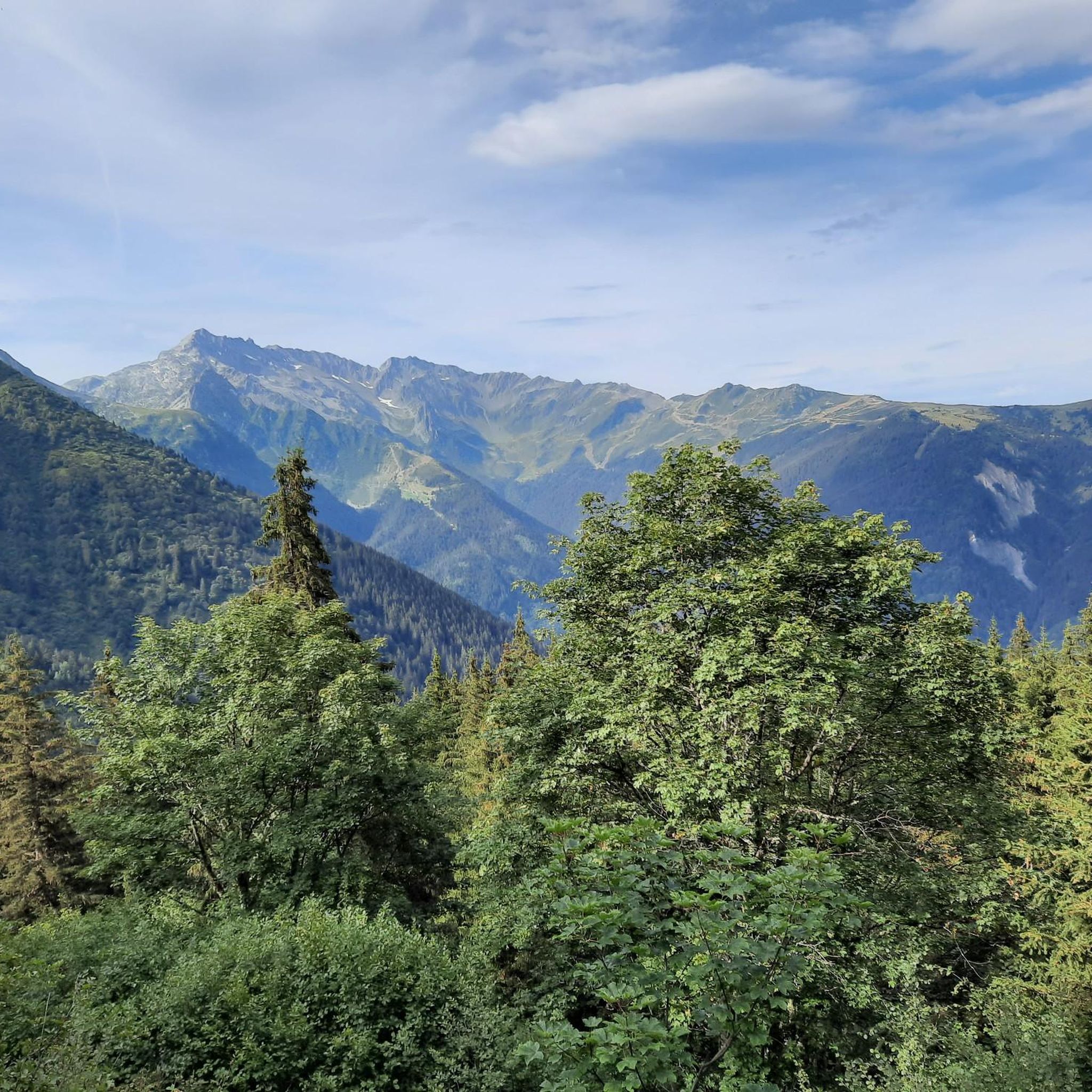
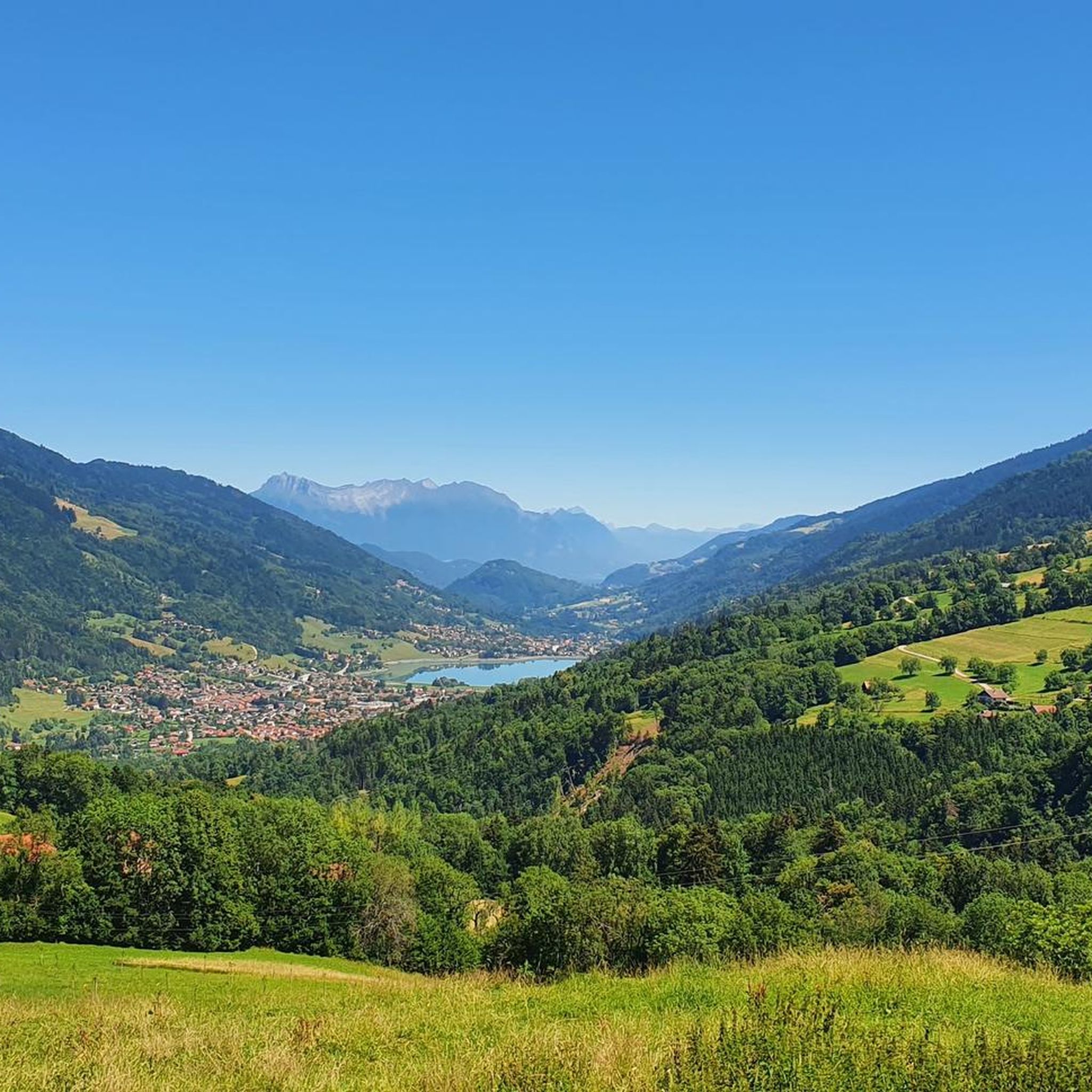
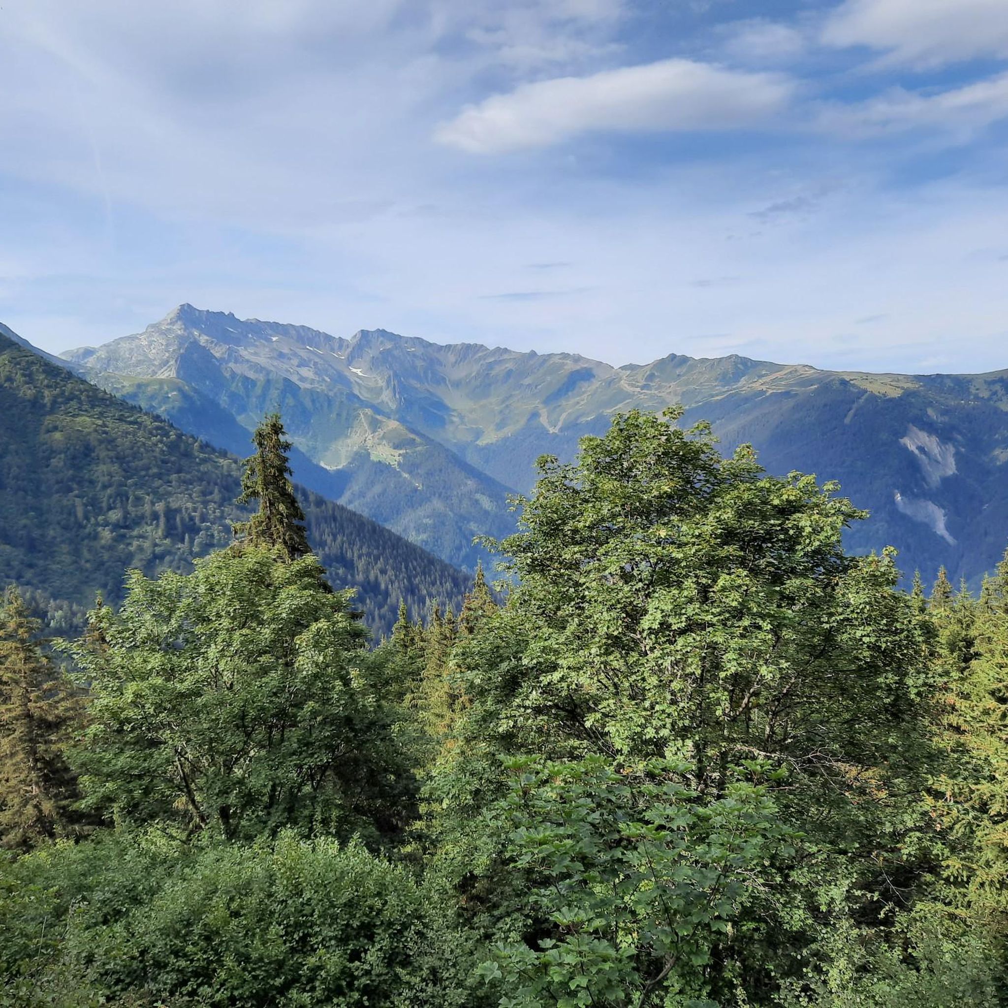
Mountaineering routes around Allevard traverse a landscape characterized by significant elevation changes and varied terrain. The region features prominent peaks and valleys, with dense forests often giving way to open alpine meadows and rocky ascents. Mountain lakes and high-altitude plateaus are also common features, offering diverse challenges for mountaineers.
Best mountaineering routes around Allevard
- The most popular mountaineering route is Crêt Luisard (1,803 m) – Crêt du Luisard - 1803m loop from Le Grand Plan, a moderate 6.8 miles…
Last updated: July 1, 2026
4.0
(4)
18
hikers
10.8km
03:43
570m
570m
Moderate mountaineering route. Good fitness required. Easily-accessible paths. Suitable for all skill levels.
17
hikers
8.01km
03:09
590m
590m
Moderate mountaineering route. Good fitness required. Mostly accessible paths. Sure-footedness required.

Sign up for free
4.0
(3)
16
hikers
11.5km
05:39
930m
930m
Hard mountaineering route. Very good fitness required. Mostly accessible paths. Sure-footedness required.
3.5
(2)
11
hikers
19.8km
08:35
1,380m
1,380m
Hard mountaineering route. Very good fitness required. Mostly accessible paths. Sure-footedness required.
5
hikers
10.4km
03:09
350m
350m
Moderate mountaineering route. Good fitness required. Easily-accessible paths. Suitable for all skill levels.
Get access to more routes and recommendations from other explorers.
Sign up for free
Already have an account?
Our route recommendations are based on thousands of hikes, rides, and runs completed by other people on komoot.
Start today with a free account
Your next adventure awaits.
Login or Signup
Popular around Allevard

Tips from the Community

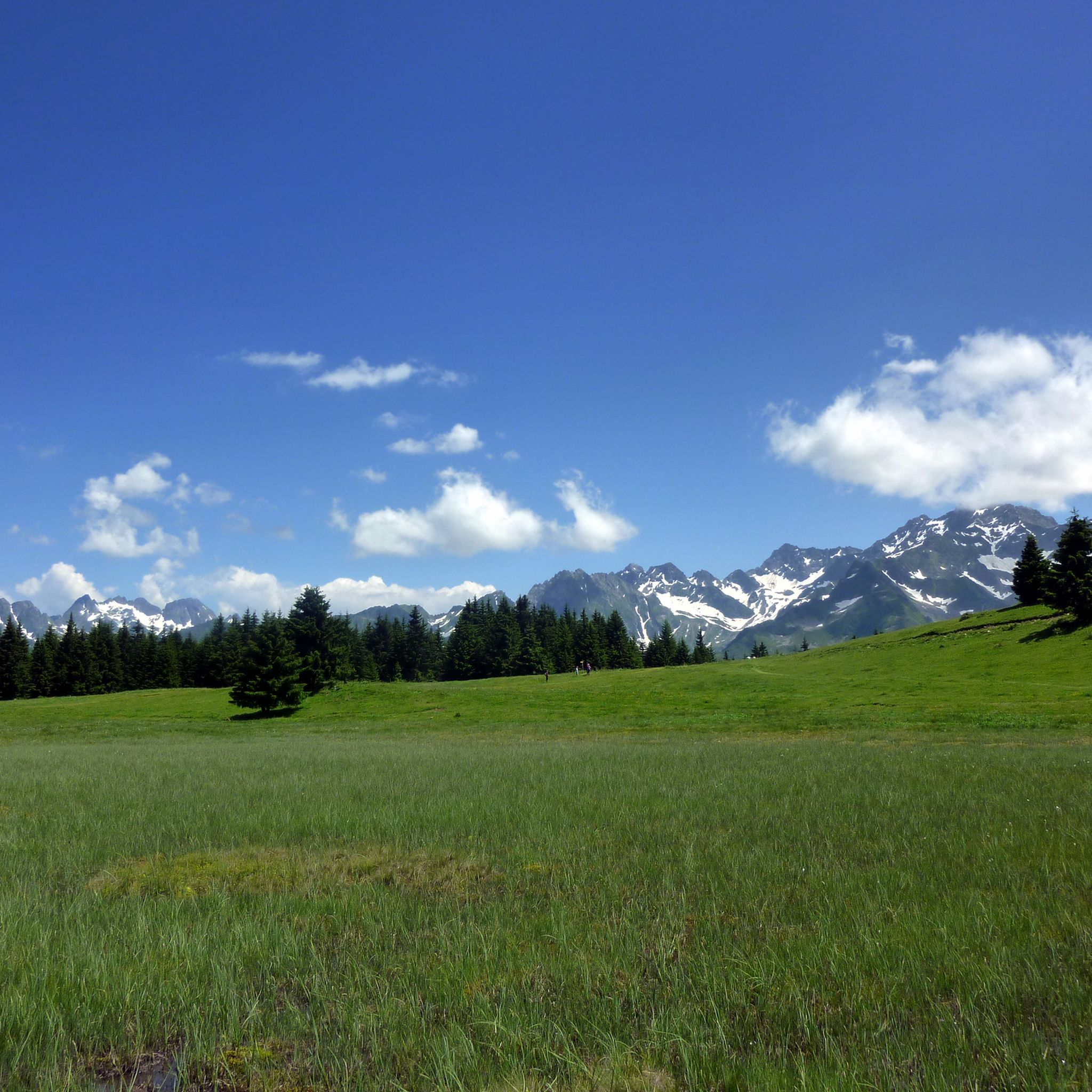
Magnificent 360° view of the North Belledonne massifs, the Grésivaudan valley overlooked by the long cliff of Chartreuse, the Bauges and the foot of Bugey behind the lake of the same name...
0
0
Superb trail that covers the entire ridge with magnificent panoramas of Belledonne
0
0

And also and especially in good weather on Mont Blanc my dear Chloé 🤪
0
0

Here, you can enjoy a 360° panorama of all the surrounding mountains: Belledonne, Vercors, Chartreuse, Bauges, and even Mont Blanc on a clear day! An orientation table makes it possible to identify the surrounding peaks.
0
0
This passage at 1,868 meters above sea level offers pretty views of the peaks of the Grands Moulins (2,498 meters) and the Grand Miceau (2,631 meters) in particular. 400 meters separate you here from the summit of Grand Collet.
0
0
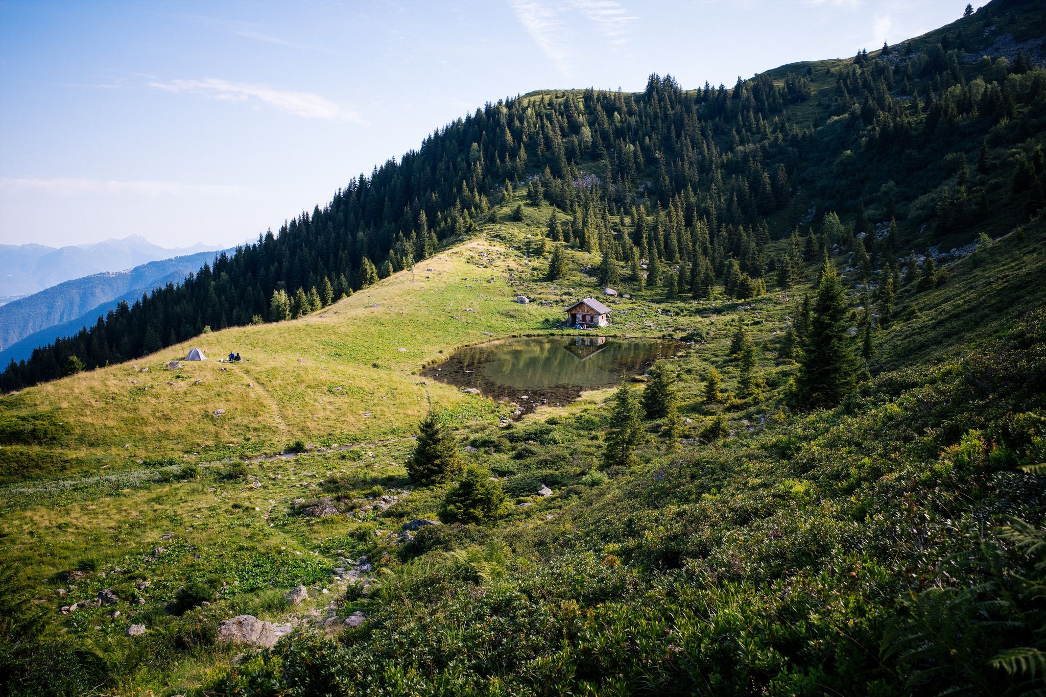
The Crêt du Poulet refuge is a really nice spot, located in the heart of an alpine pasture with 40 cows. There is an exceptional panorama of the Belledonne range, the Chartreuse and the Bauges. It is possible to eat there, but also to spend the night on half board. Campers can rejoice: it is possible to pitch your tent near the refuge and enjoy a great homemade meal!
1
0
Located at 1,803 meters above sea level, Crêt Luisard dominates the Grésivaudan valley. From up there, there are great views of the Belledonne range and the Chartreuse. A small detour that is worth it!
0
0
The Perrière refuge is an unguarded refuge that was renovated in 2018. It is nestled at the foot of the Grands Moulins (2,498 meters above sea level). There you will find 18 beds on mattresses, blankets, a stove, kitchen utensils and water. It is also equipped with solar electricity, which allows its smartphones and GPS devices to be recharged. A beautiful place to spend a night in the mountains!
1
0
Frequently Asked Questions
How many mountaineering routes are available around Allevard?
There are over 9 mountaineering routes documented around Allevard, offering a range of experiences from moderate to difficult. The region is known for its varied terrain, including dense forests, alpine meadows, and rocky ascents.
Are there options for beginner mountaineers in Allevard?
While there are no routes specifically classified as 'easy' for mountaineering, several moderate routes are suitable for those with some experience looking to progress. For example, the Crêt Luisard (1,803 m) – Crêt du Luisard - 1803m loop from Le Grand Plan is a popular moderate option, taking about 3 hours 45 minutes to complete.
What kind of challenges can advanced mountaineers expect around Allevard?
Advanced mountaineers will find several challenging routes with significant elevation gains and longer durations. The Les Grands Moulins – Grande Montagne d'Arvillard loop from Parking de Val Pelouse is a difficult 7.4-mile trail leading through alpine forests and rocky ridges, often completed in about 5 hours 50 minutes. Another demanding option is the Grande Montagne d'Arvillard – Les Grands Moulins loop from Institut Karma Ling, which covers nearly 20 km with over 1300m of ascent.
Are there circular mountaineering routes around Allevard?
Yes, many of the mountaineering routes around Allevard are designed as loops, allowing you to start and finish at the same point. Examples include the Lac du Collet – Les Plagnes loop from Le Collet d'Allevard and the Grande Montagne d'Arvillard loop from Institut Karma Ling.
What is the typical duration for mountaineering routes in Allevard?
The duration of mountaineering routes around Allevard varies depending on difficulty and length. Moderate routes, such as the Crêt Luisard loop, typically take around 3 hours 45 minutes. More difficult and longer routes, like the Grande Montagne d'Arvillard – Les Grands Moulins loop, can take over 8 hours.
Where can I find parking for mountaineering routes near Allevard?
Parking is often available at the trailheads for many routes. For instance, the challenging Les Grands Moulins – Grande Montagne d'Arvillard loop starts from Parking de Val Pelouse. It's always advisable to check the specific route details for designated parking areas.
Are there places to eat or stay overnight near the mountaineering trails?
Yes, there are several huts and refuges in the vicinity that can serve as places to rest or stay overnight. You might consider visiting the Refuge de la Perrière or the Chalet de la Fouetterie. The La Combe Madame Refuge also offers a place to stop.
What kind of scenery can I expect on mountaineering routes around Allevard?
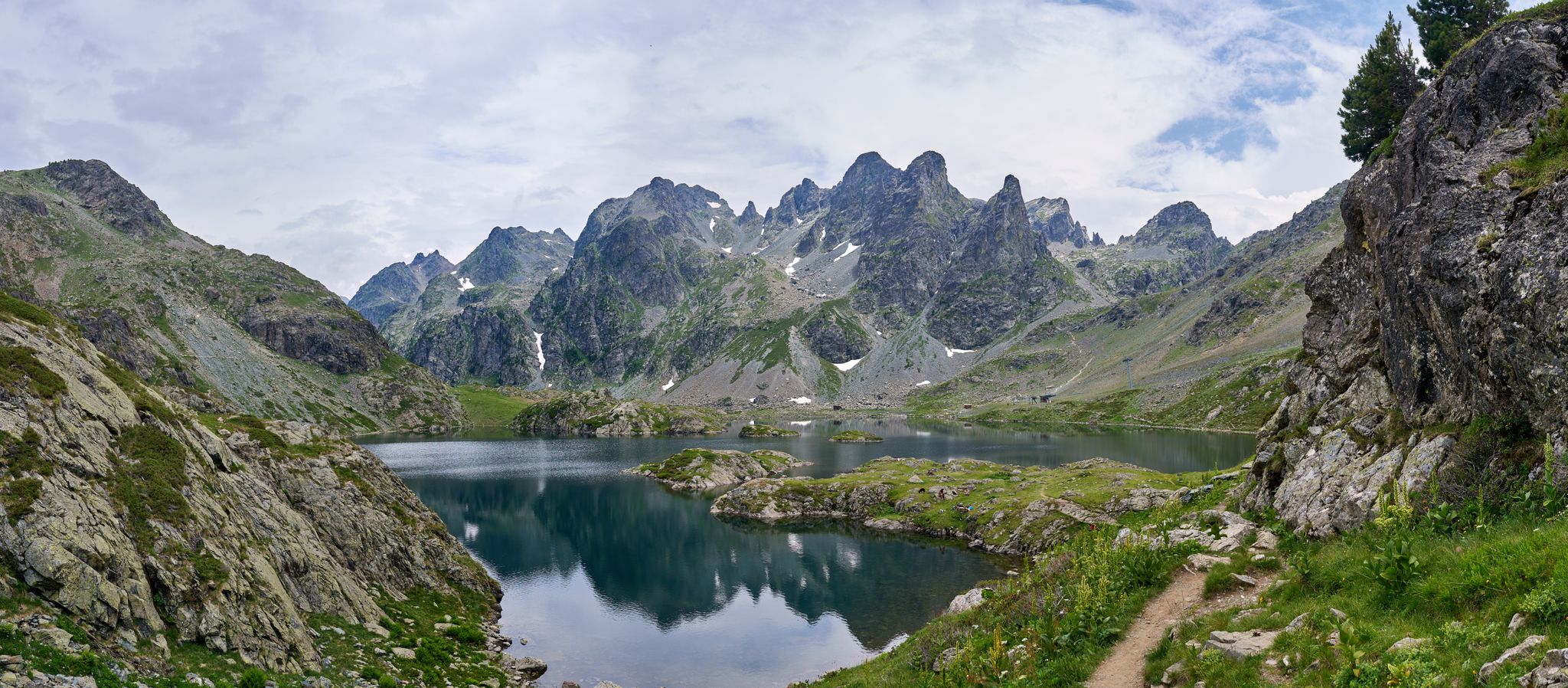
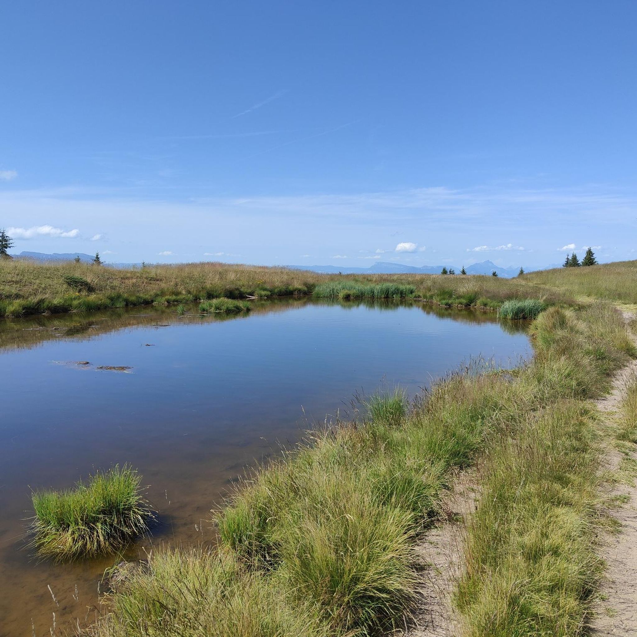
Mountaineering routes around Allevard offer diverse scenery, characterized by significant elevation changes. You'll traverse dense alpine forests, open alpine meadows, and rocky ascents. High-altitude plateaus and mountain lakes, such as Lac du Collet, are common features, providing stunning views of the surrounding mountains.
Are there any waterfalls to see on the mountaineering routes?
Yes, the region features natural attractions like the Gouille Waterfall, which can be a scenic point of interest during your mountaineering adventures. It's worth checking individual route descriptions to see if it lies directly on your chosen path.
What do other mountaineers enjoy the most about mountaineering in Allevard?
The mountaineering routes in Allevard are highly rated by the komoot community, with an average score of 4.1 stars from 16 reviews. Reviewers often praise the varied terrain, from alpine forests to challenging rocky ridges, and the rewarding ascents to summits like The Grand Rock.
When is the best time of year for mountaineering in Allevard?
The best time for mountaineering in Allevard is typically during the warmer months, from late spring to early autumn (June to September), when trails are generally free of snow and weather conditions are more stable. However, conditions can change rapidly in the mountains, so always check local forecasts before heading out.
Are there any less crowded alternatives for mountaineering around Allevard?
While some routes are more popular, exploring trails that are not the main highlights can offer a quieter experience. Look for routes that might be slightly longer or have a higher difficulty rating, as these tend to attract fewer people. The region has 9 documented routes, providing options beyond the most frequented paths.
Most popular routes around Allevard
Most popular attractions around Allevard

Get inspired with the komoot mobile app


Explore more
Browse the best Mountain Hikes & Routes in other regions.
