The best running trails around Congis-Sur-Thérouanne
4.2
(51)
3,557
runners
244
runs
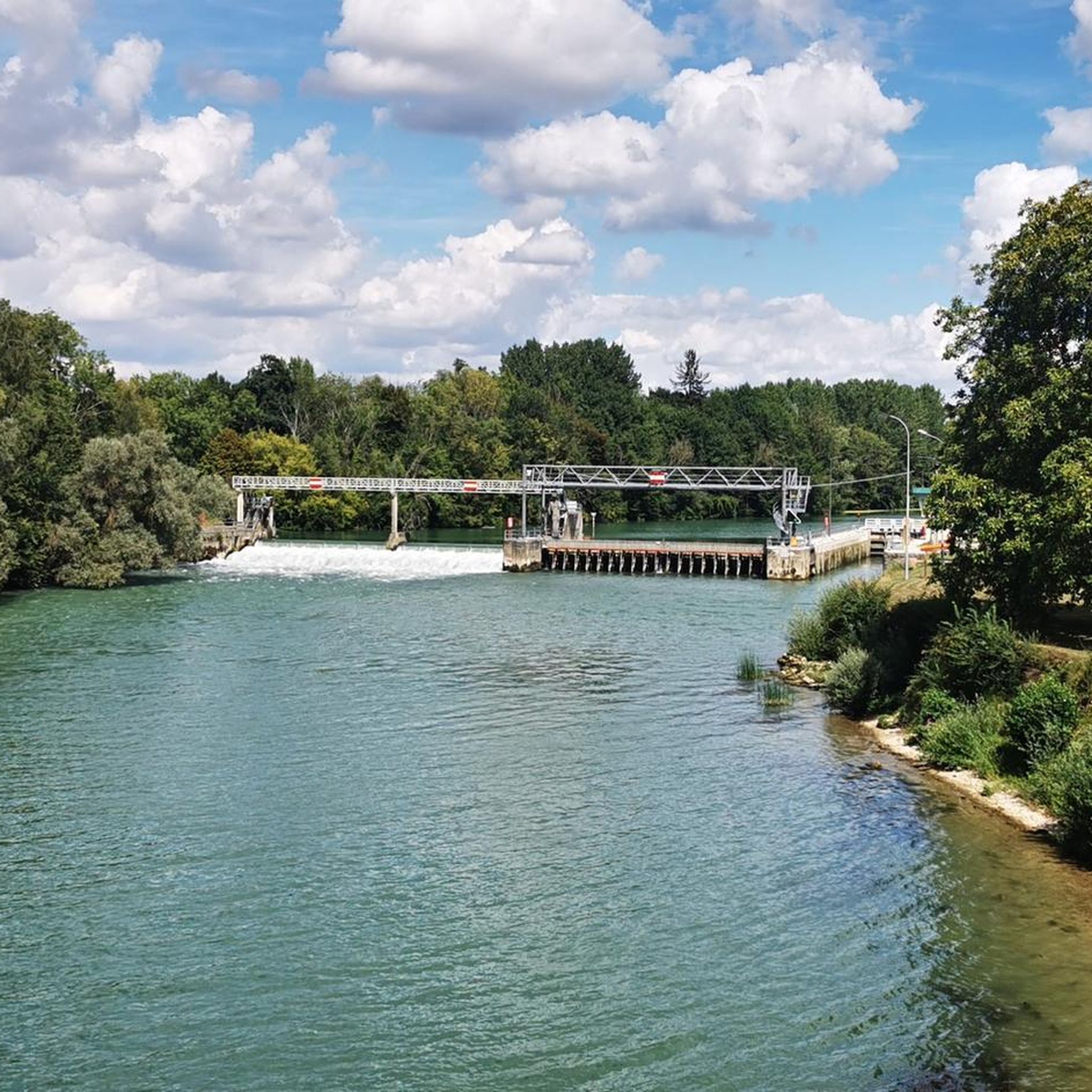
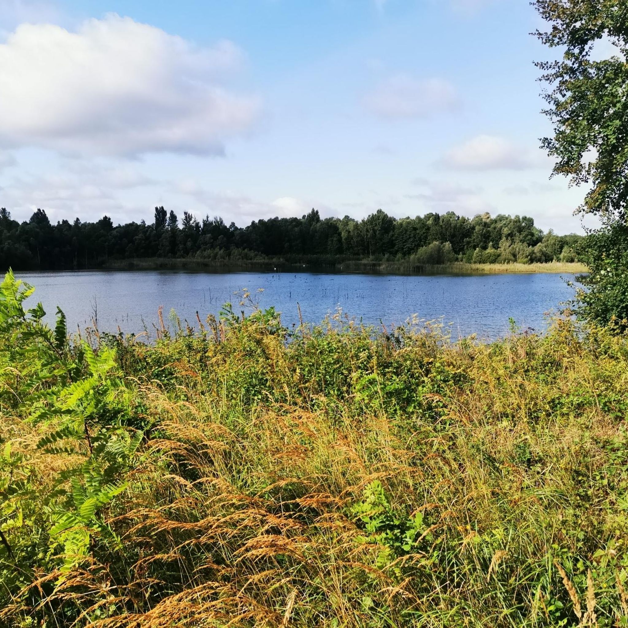
Jogging routes around Congis-Sur-Thérouanne are characterized by the confluence of the Marne, Thérouanne, and Ourcq rivers and canals, providing numerous paths along their banks. The region features the Grand Voyeux Regional Nature Reserve, a 241-hectare area with ponds, reed beds, and groves, offering varied scenery. Extensive forests and wetlands contribute to a diverse natural environment, with many trails following accessible towpaths. This landscape provides a tranquil setting for running, with routes often passing through natural reserves and alongside waterways.
Best…
Last updated: July 2, 2026
3.7
(3)
24
runners
8.61km
00:58
40m
40m
Moderate run. Good fitness required. Mostly paved surfaces. Suitable for all skill levels.
8
runners
6.45km
00:42
50m
50m
Moderate run. Good fitness required. Mostly paved surfaces. Suitable for all skill levels.

Sign up for free
6
runners
10.8km
01:08
60m
60m
Moderate run. Good fitness required. Mostly paved surfaces. Suitable for all skill levels.
5
runners
11.5km
01:22
130m
130m
Moderate run. Good fitness required. Mostly paved surfaces. Suitable for all skill levels.
7
runners
22.4km
02:35
220m
220m
Hard run. Very good fitness required. Mostly paved surfaces. Suitable for all skill levels.
Get access to more routes and recommendations from other explorers.
Sign up for free
Already have an account?
Our route recommendations are based on thousands of hikes, rides, and runs completed by other people on komoot.
Start today with a free account
Your next adventure awaits.
Login or Signup
Tips from the Community

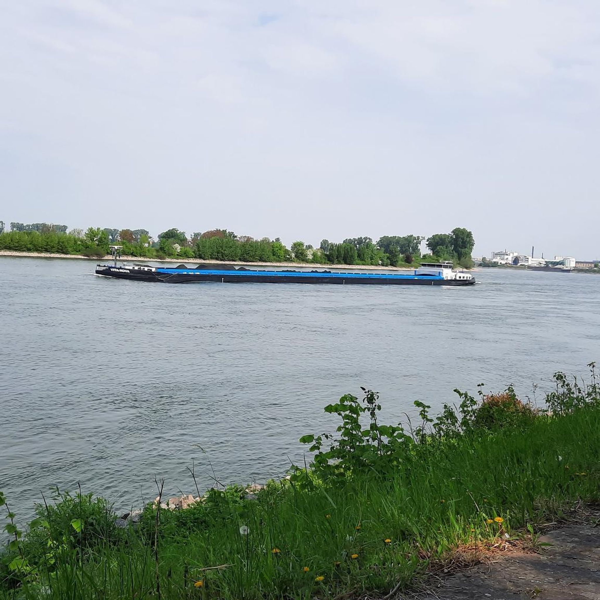
Bridge overlooking the Marne near the Grand-Voyeux nature reserve.
0
0

The forest of Montceaux offers an ideal setting for practicing many sports, including running. This forest massif near the Marne covers 685 hectares and is full of marked trails. The site is very well preserved and therefore it lends itself particularly well for a moment of disconnection from everyday life!
0
0
Frequently Asked Questions
How many running routes are available around Congis-sur-Thérouanne?
There are over 200 running routes in the Congis-sur-Thérouanne area, catering to various fitness levels. You'll find a wide selection of paths, from easy riverside strolls to more challenging trails through forested areas.
What types of terrain can I expect on the jogging trails in Congis-sur-Thérouanne?
The terrain around Congis-sur-Thérouanne is quite varied. Many routes follow accessible towpaths along the Marne, Thérouanne, and Ourcq rivers and canals, offering flat and scenic surfaces. You'll also find trails through extensive forests and wetlands, providing a mix of natural surfaces.
Are there any easy or beginner-friendly running routes in the region?
Yes, Congis-sur-Thérouanne offers 23 easy running routes, perfect for beginners or those looking for a relaxed jog. These often follow the serene waterways, providing a tranquil environment without significant elevation changes.
What natural features or landmarks can I see while running in Congis-sur-Thérouanne?
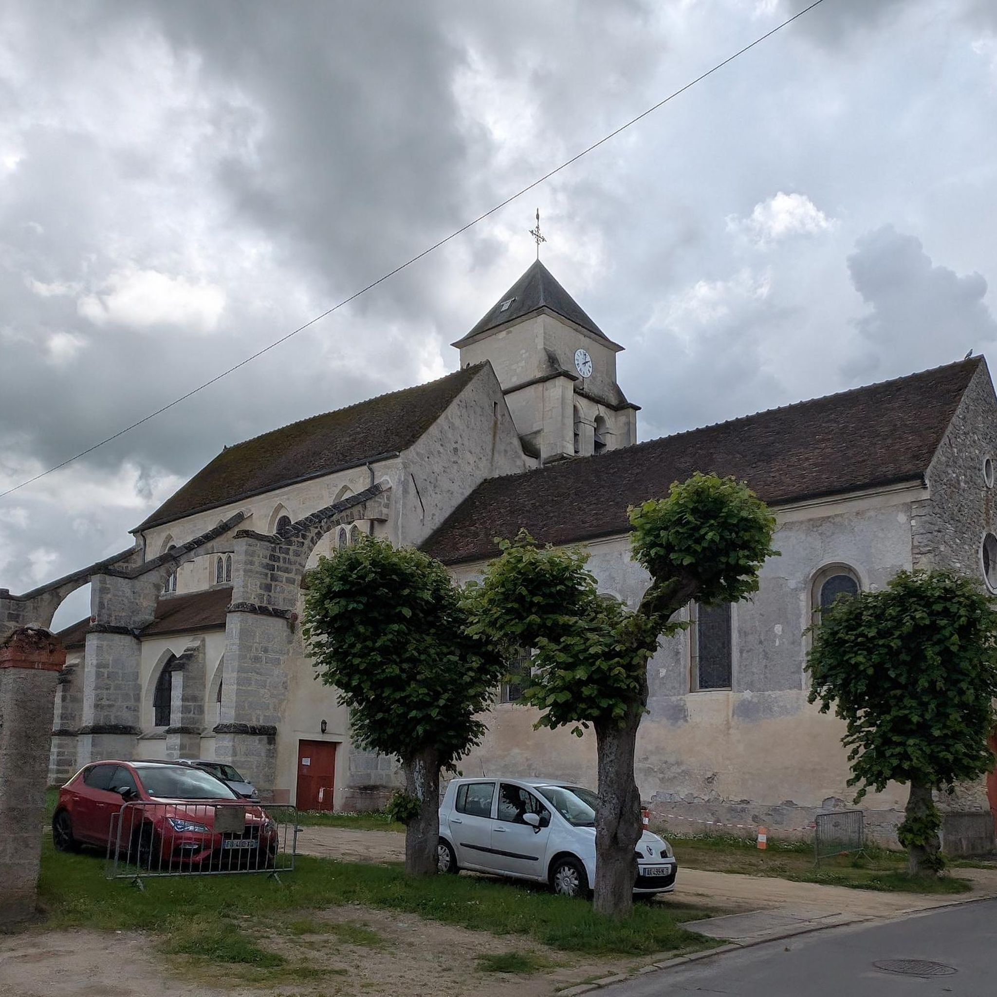
You can enjoy diverse natural beauty, including the meandering Marne, Thérouanne, and Ourcq rivers and canals. A significant highlight is the Ourcq Towpath, and the Grand Voyeux Regional Nature Reserve, known for its ponds, reed beds, and abundant birdlife. Longer routes might also pass through charming Briard villages.
Are the running trails in Congis-sur-Thérouanne suitable for families?
Many of the routes, especially those along the towpaths and through less challenging areas, are suitable for families. The flat and accessible nature of these paths makes them ideal for a family outing, allowing everyone to enjoy the natural surroundings.
Can I bring my dog on the jogging routes?
Generally, dogs are welcome on many of the outdoor trails in the region, especially on towpaths. However, specific rules might apply in protected areas like the Grand Voyeux Regional Nature Reserve. It's always best to keep your dog on a leash and respect local signage.
What do other runners say about jogging in Congis-sur-Thérouanne?
The running routes in Congis-sur-Thérouanne are highly rated by the komoot community, with an average score of 4.2 stars from over 70 reviews. Runners often praise the serene waterways, protected natural reserves, and the network of accessible trails that provide a tranquil setting for their runs.
Are there any circular running routes available?
Yes, many of the routes in Congis-sur-Thérouanne are designed as loops, offering convenient circular options. For example, the Île de la Cornaille loop from Isles-les-Meldeuses is a popular moderate circular trail.
How can I access the running routes using public transport?
While specific public transport details for each trailhead vary, the region is generally accessible. Many routes are located near villages, which may have local bus services. It's advisable to check local transport schedules for specific starting points like Isles-les-Meldeuses or Mary-sur-Marne.
Where can I park my car when visiting the running trails?
Parking is typically available in or near the villages that serve as starting points for many routes, such as Congis-sur-Thérouanne, Isles-les-Meldeuses, or Mary-sur-Marne. Look for designated parking areas or roadside parking where permitted.
What is the best time of year to go jogging in Congis-sur-Thérouanne?
Congis-sur-Thérouanne offers beautiful running conditions throughout much of the year. Spring and autumn provide pleasant temperatures and scenic views, with autumn showcasing lovely foliage. Summer is also great, especially along the shaded riverbanks. Winter runs can be refreshing, though some trails might be muddy after rain.
Are there any longer or more challenging running routes for experienced runners?
Absolutely. For experienced runners, there are 52 difficult routes available. An example is the Bridge over the Marne – Montceaux Forest loop from Congis-sur-Thérouanne, a challenging 22.4 km trail with significant elevation changes, offering a more demanding experience.
What are some other popular running routes besides the ones mentioned in the guide's introduction?
Beyond the most popular, you might enjoy the Running loop from Isles-les-Meldeuses, which is a moderate 11.5 km trail. This route offers varied scenery and is a great option for a longer run.
Most popular routes around Congis-Sur-Thérouanne
Most popular attractions around Congis-Sur-Thérouanne

Get inspired with the komoot mobile app


Explore more
Browse the best Running Trails & Routes in other regions.
