The best road cycling routes around Blaringhem
4.5
(154)
8,295
riders
445
rides
Road cycling around Blaringhem, located in the Nord department of France, offers diverse landscapes suitable for various cycling experiences. The region features a network of roads that traverse natural reserves, including the nearby Romelaëre Ponds Nature Reserve, characterized by ponds and canals. The terrain varies, providing a mix of paved surfaces and gentle ascents, making it suitable for different levels of road cyclists. This area provides opportunities to combine physical activity with the exploration of local natural and historical points…
Last updated: October 20, 2026
5.0
(1)
98
riders
Hard road ride. Very good fitness required. Mostly well-paved surfaces and easy to ride.
4.5
(4)
66
riders
37.4km
01:30
60m
60m
Moderate road ride. Great for any fitness level. Some segments of this route may be unpaved and difficult to ride.

19
riders
89.2km
04:02
730m
730m
Moderate road ride. Good fitness required. Mostly well-paved surfaces and easy to ride.
1.0
(1)
15
riders
102km
04:20
770m
770m
Moderate road ride. Good fitness required. Mostly well-paved surfaces and easy to ride.
5.0
(1)
20
riders
29.1km
01:30
160m
160m
Moderate road ride. Great for any fitness level. Some segments of this route may be unpaved and difficult to ride.
Get access to more routes and recommendations from other explorers.
Already have an account?
Our route recommendations are based on thousands of hikes, rides, and runs completed by other people on komoot.
Start today with a free account
Your next adventure awaits.
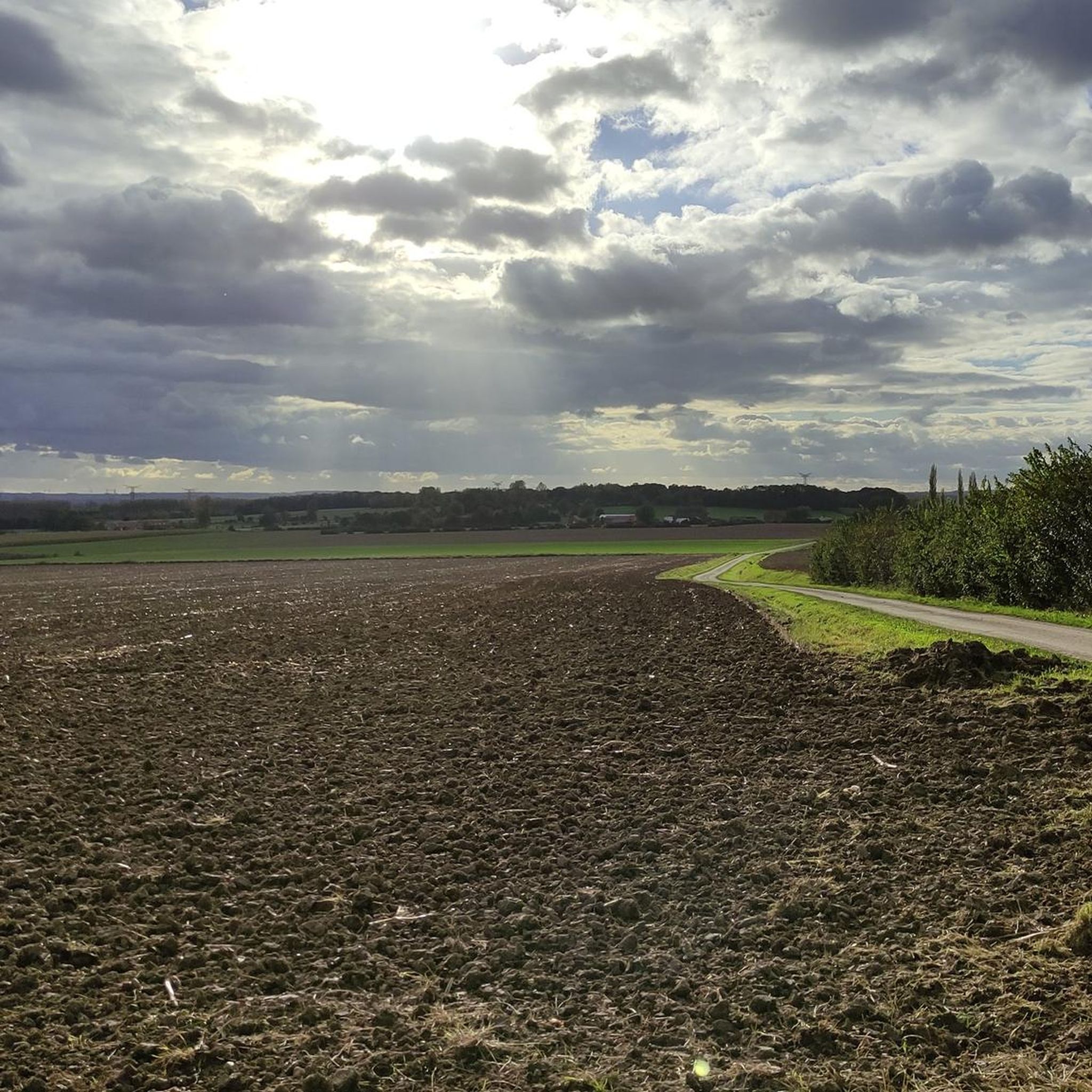
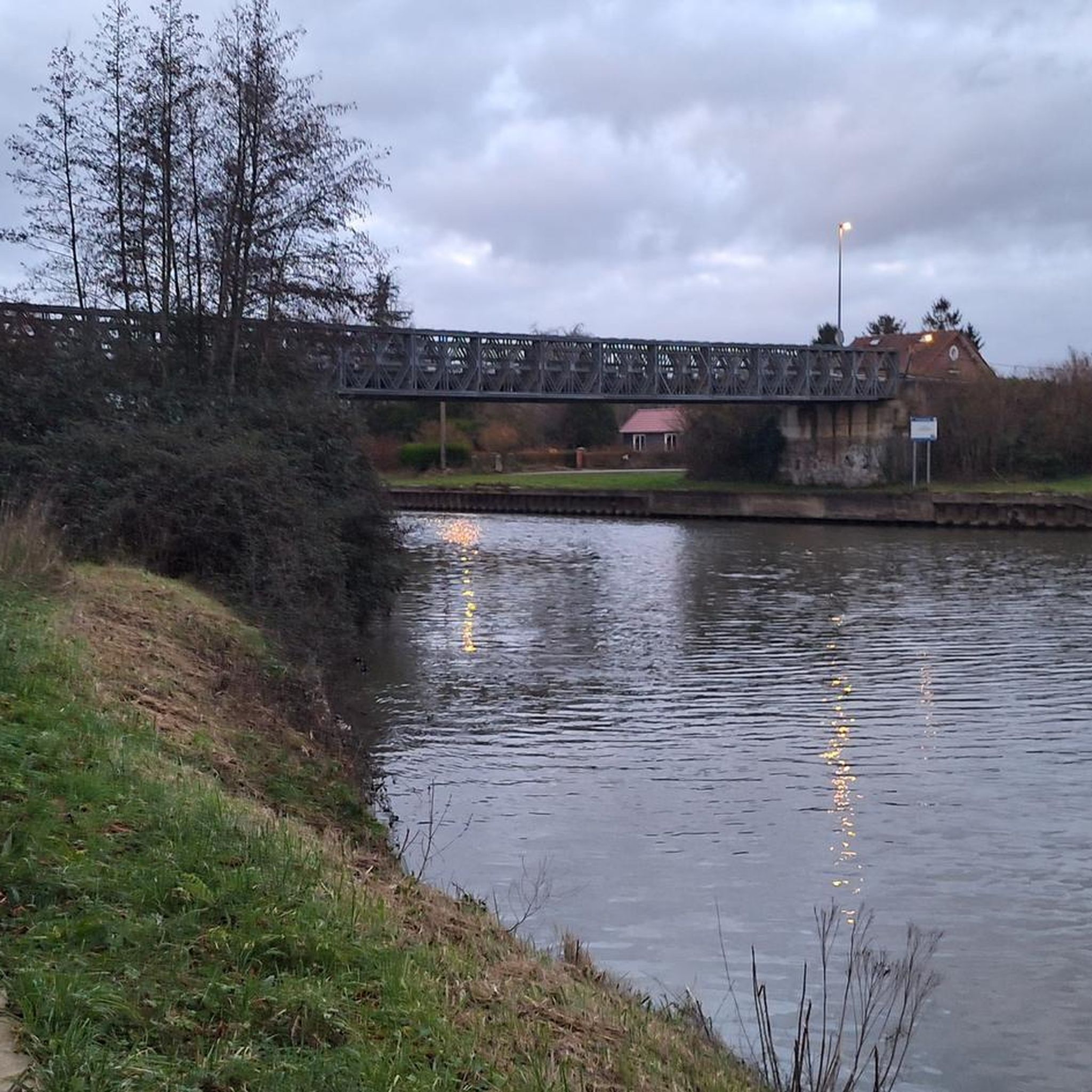
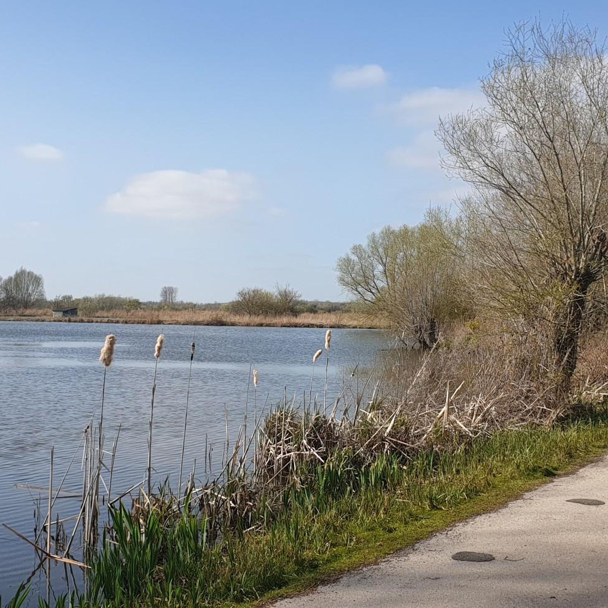


Tips from the Community


The source of the Leie (French: la source de la Lys) is located in the small French village of Lisbourg, situated in the Pas-de-Calais department in the Hauts-de-France region. The river originates here at an altitude of approximately 115 meters and flows via Aire-sur-la-Lys towards Belgium, eventually flowing into the Scheldt in Ghent after approximately 202 kilometers.
0
0

starting point for quite a few hikes
0
0

here is an information board with all tourist information
0
0

Marina on the canal, the cycle path is great up to there.
0
0
Worth seeing monastery ruins.
0
0

Frequently Asked Questions
How many road cycling routes are available around Blaringhem?
There are over 450 road cycling routes around Blaringhem listed on komoot, offering a wide variety of options for different skill levels and preferences.
What kind of terrain can I expect on road cycling routes near Blaringhem?
The region around Blaringhem offers diverse landscapes. You'll find a mix of well-paved surfaces suitable for leisure rides and some routes with gentle ascents, particularly as you venture towards areas like Mont de Watten. The terrain varies, providing options from flat, accessible paths to more challenging rides with significant elevation gain.
Are there road cycling routes suitable for beginners in Blaringhem?
Yes, Blaringhem offers numerous easy road cycling routes perfect for beginners. For instance, the Quai du Commerce, Arques loop from Wittes is an easy 21.8-mile (35.1 km) path that follows the Quai du Commerce, offering a flat and accessible ride.
What are some more challenging road cycling routes for experienced riders?
Experienced riders seeking a challenge can explore routes with more significant elevation. A difficult option is the Balastières Pond – Waterfall of Nave river in Bourecq loop from Renescure, which is 84.2 miles (135.5 km) long with notable elevation changes, taking around 6 hours to complete.
What natural features or landmarks can I explore while road cycling around Blaringhem?
Road cycling around Blaringhem allows you to discover several natural and historical points of interest. You can cycle near the scenic Romelaëre Ponds Nature Reserve, known for its network of ponds and canals. Other highlights include the Boat Lift of Fontinettes and the Saint-Omer Cathedral, offering a blend of natural beauty and historical architecture.
Are there any circular road cycling routes available?
Yes, many routes around Blaringhem are designed as loops, allowing you to start and finish in the same location. An example is the The Renty water mill – Abandoned Country Road loop from Roquetoire, a moderate 80.5 km route that takes you through varied scenery.
What do other road cyclists enjoy most about cycling in Blaringhem?
The road cycling routes around Blaringhem are highly rated by the komoot community, with an average score of 4.6 stars from over 100 reviews. Cyclists often praise the diverse terrain, the opportunity to combine physical activity with exploring local natural and historical points of interest, and the variety of routes suitable for different ability levels.
Can I find routes that pass by water features?
Absolutely. The region is characterized by its water features. The Balastières Pond – Waterfall of Nave river in Bourecq loop from Renescure specifically highlights scenic water features like Balastières Pond and the Nave river. The Romelaëre Ponds Nature Reserve also offers routes alongside canals and ponds.
Are there road cycling routes that explore historical sites?
Yes, the area around Blaringhem has historical significance. While cycling, you might encounter sites like the Ruin of St Martin's church or the 14 centuries of hard work highlight, which offer glimpses into the region's past. The broader area also features historical ruins like the Abbey of Saint-Bertin.
What is the best time of year for road cycling in Blaringhem?
The spring and summer months generally offer the most favorable weather conditions for road cycling in Blaringhem, with milder temperatures and longer daylight hours. However, the diverse terrain means that routes can be enjoyed throughout much of the year, depending on personal preference and weather conditions.
Are there any routes that offer views of the Mont de Watten area?
Yes, for those interested in views of the Mont de Watten area, the Ascent Route d'Audruicq – Mont de Watten loop from Renescure is a 55.4-mile (89.1 km) trail that leads through areas near Mont de Watten, providing scenic perspectives of the landscape.
Are there road cycling routes suitable for families with children?
While specific 'family-friendly' designations are not always explicit for road cycling, the region offers many easy and flat routes that are suitable for families. The Quai du Commerce, Arques loop from Wittes, for example, is an easy and accessible option with minimal elevation, making it a good choice for a family outing.
Most popular routes around Blaringhem
Most popular attractions around Blaringhem

Get inspired with the komoot mobile app


Explore more
Browse the best Road cycling routes in other regions.
