The best walks and hikes around Wustweiler
4.5
(2899)
12,981
hikers
676
hikes
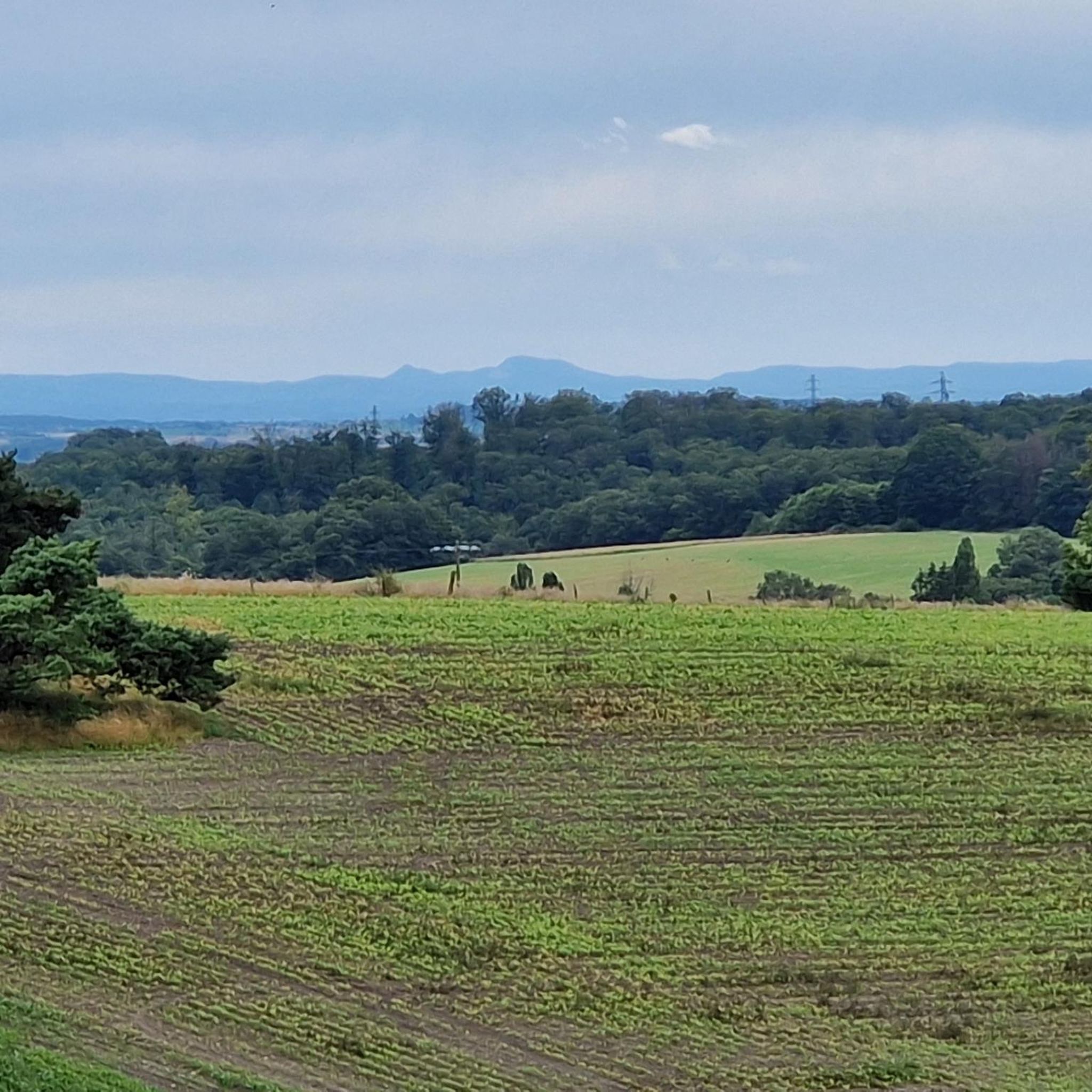
Hiking trails around Wustweiler are situated within the diverse Saarland region of Germany, characterized by rolling hills, dense forests, and river valleys. The area offers varied topography, including open pastures and meadows, providing a range of hiking experiences. Waterways like the Saar River and its iconic loop contribute to the regional landscape, alongside historical features.
Best hiking trails around Wustweiler
- The most popular hiking route is The Commandant's Spring – Wooden Bench in the Forest loop from Communauté d'agglomération Sarreguemines Confluences, an easy 3.3 miles (5.4 km) trail that takes 1 hour 25 minutes to complete. This route features a loop through forest areas.
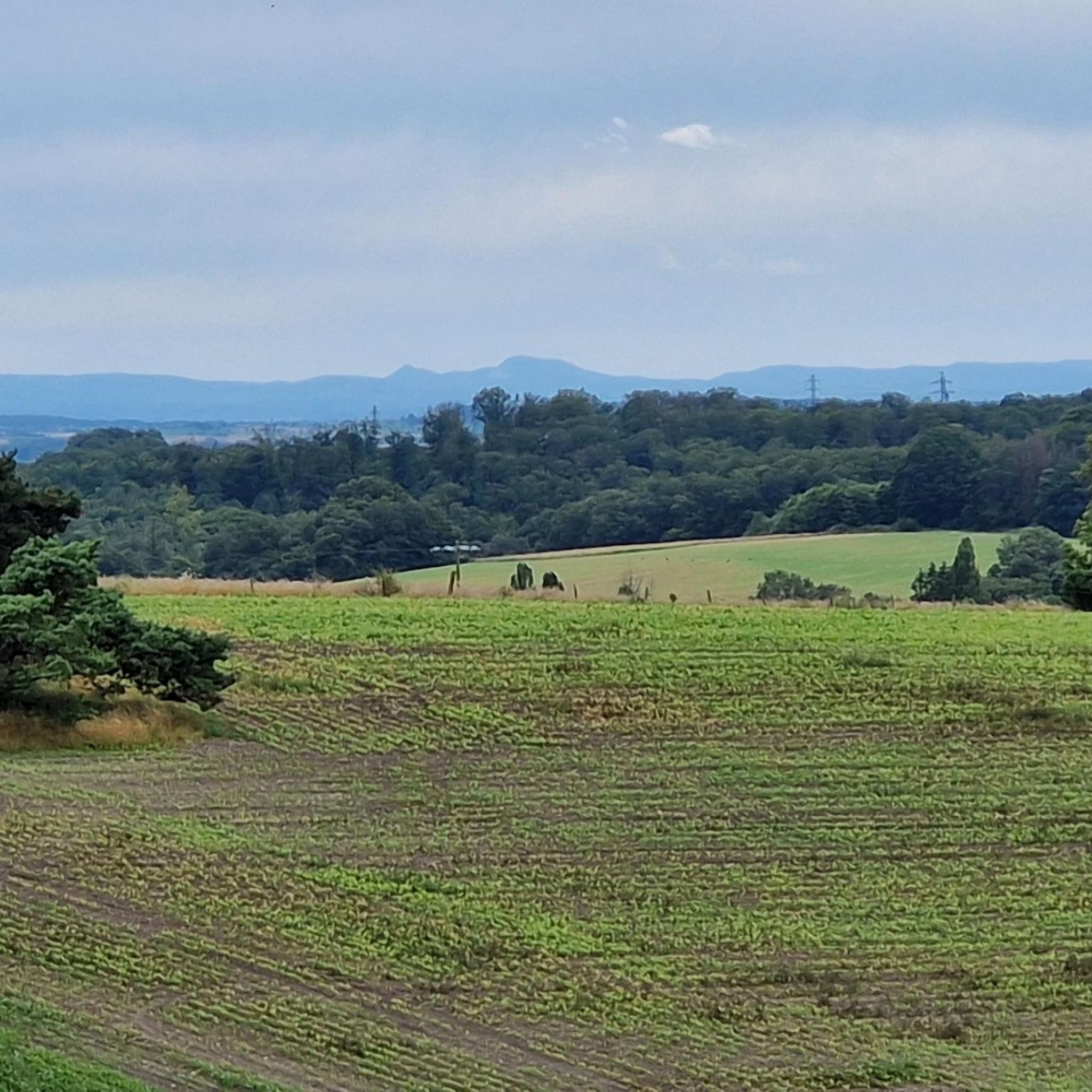
- Another top favourite among local hikers is View of the Vosges loop from Ippling, a moderate 4.6 miles (7.4 km) path. This trail offers views towards the Vosges mountains and takes approximately 2 hours.
- Local hikers also love the Hambach Cycle Path loop from Hambach, a 4.1 miles (6.6 km) trail leading through varied terrain, often completed in about 1 hour 45 minutes.
- Hiking around Wustweiler is defined by dense forests, rolling hills, and river valleys, with routes often incorporating historical elements. The network offers options for different ability levels, from easy strolls to more challenging ascents.
- The routes in Wustweiler are highly rated by the komoot community with an average score of 4.5 stars from more than 2,300 reviews. More than 11,000 hikers have used komoot to explore Wustweiler's varied terrain.
Last updated: October 17, 2026
3.0
(1)
17
hikers
Easy hike. Great for any fitness level. Easily-accessible paths. Suitable for all skill levels.
5.0
(4)
34
hikers
7.00km
01:55
100m
100m
Easy hike. Great for any fitness level. Easily-accessible paths. Suitable for all skill levels.

4.5
(4)
21
hikers
6.86km
01:48
60m
60m
Easy hike. Great for any fitness level. Easily-accessible paths. Suitable for all skill levels.
4.8
(4)
19
hikers
Easy hike. Great for any fitness level. Easily-accessible paths. Suitable for all skill levels.
5.0
(5)
12
hikers
9.58km
02:32
80m
80m
Moderate hike. Good fitness required. Easily-accessible paths. Suitable for all skill levels.
Get access to more routes and recommendations from other explorers.
Already have an account?
Our route recommendations are based on thousands of hikes, rides, and runs completed by other people on komoot.
Start today with a free account
Your next adventure awaits.
Tips from the Community

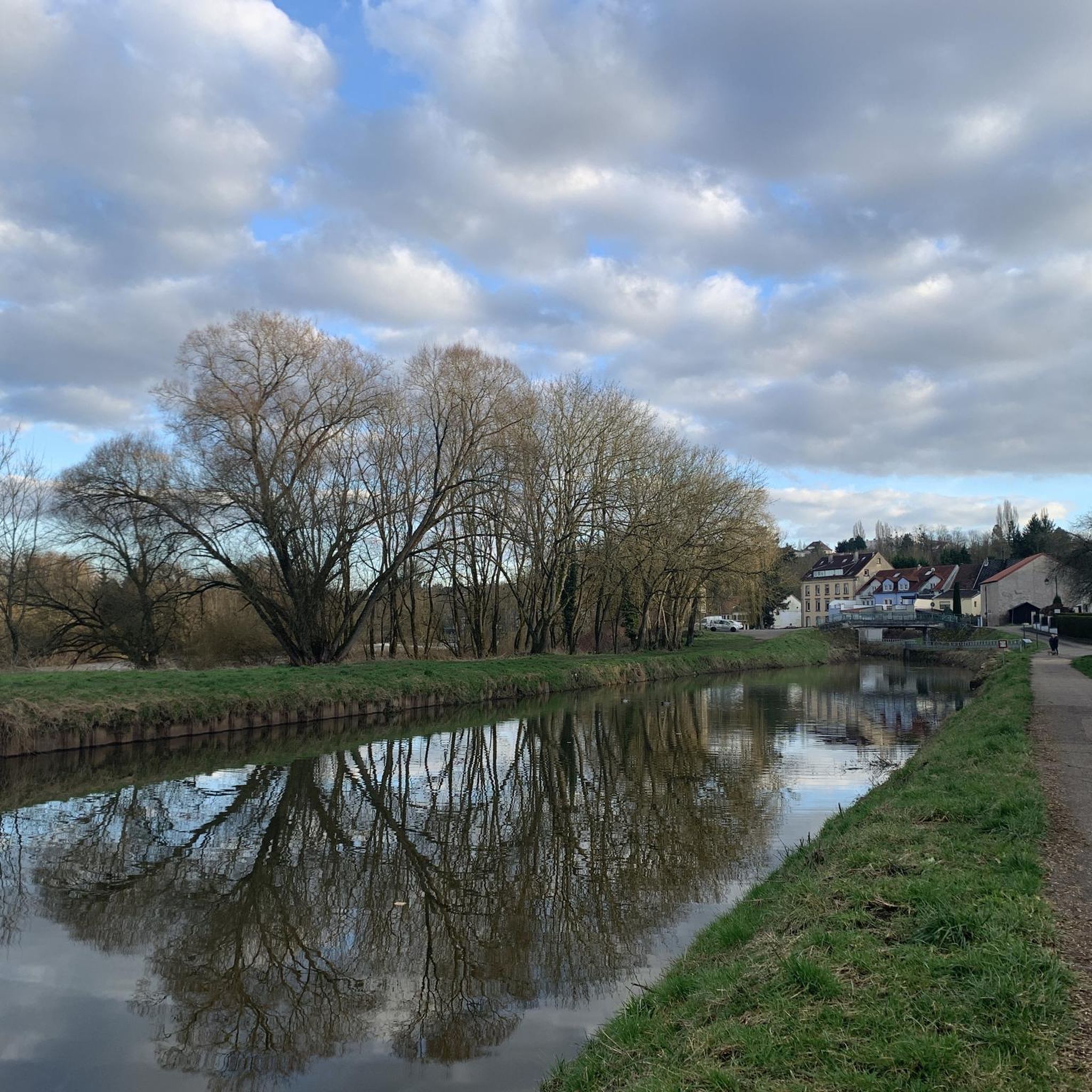
Bench ideally located along the Hambach cycle path
0
0

Between 1630 and 1634, plague epidemics brought death everywhere with the Thirty Years' War (1618-1648). In Sarreguemines, the town's water was contaminated. The few doctors there claimed that the spring water had healing powers. The commander of the town and the castle informed the population of the existence of this spring in the heart of the Buchholz forest, hence the name. This explanation appears on a plaque fixed to the spring wall by the Vosges Club. Is the water from this spring still drinkable today? "We don't know due to the lack of recent analysis."
0
0

Beautiful carvings just behind the parking lot 🅿️
1
0

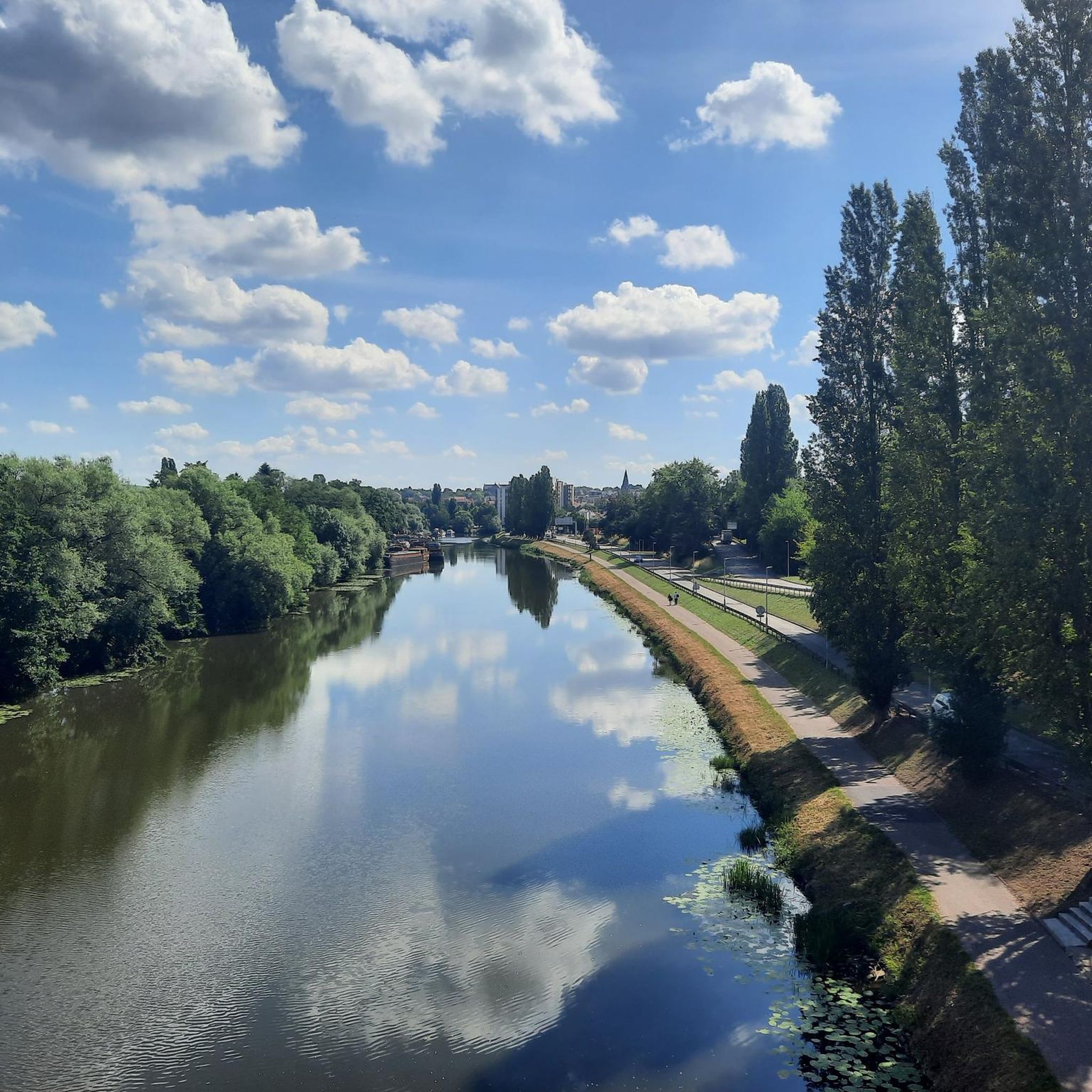
The bike path is well developed and takes you comfortably to Saargemünd.
0
0

Nice to be driven bike path through Hambach
3
0

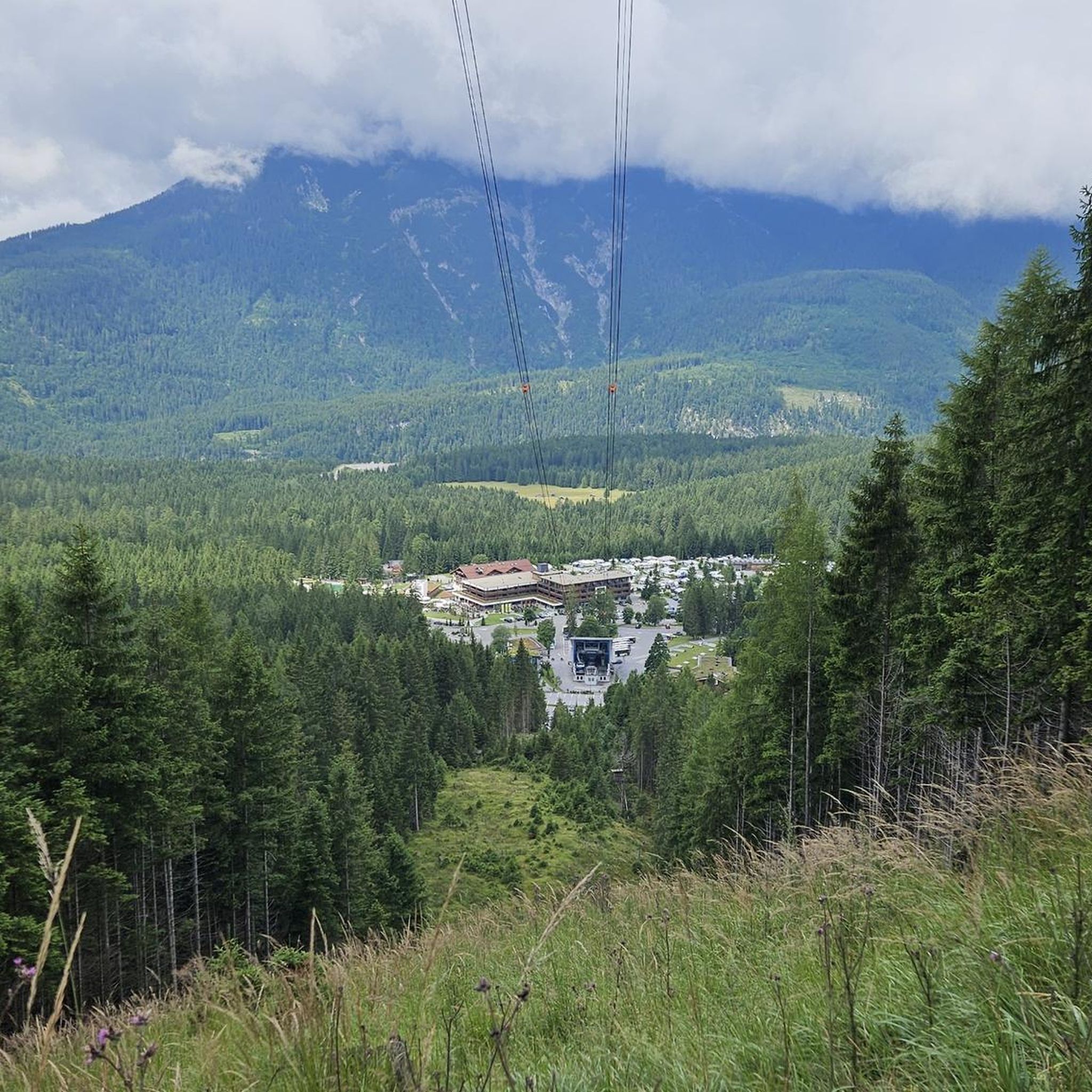
The exertions are absolutely worth it
1
1
Frequently Asked Questions
How many hiking trails are available around Wustweiler?
There are over 600 hiking trails around Wustweiler, offering a wide variety of experiences. These routes are highly rated by the komoot community, with an average score of 4.5 stars from over 2,300 reviews.
Are there easy hiking options suitable for beginners or leisurely strolls?
Yes, Wustweiler offers a significant number of easy trails. Over 370 routes are classified as easy, perfect for a relaxed walk. An example is The Commandant's Spring – Wooden Bench in the Forest loop, an easy 5.4 km trail that takes about 1 hour 25 minutes to complete through forest areas.
What kind of landscapes can I expect to see while hiking near Wustweiler?
The region around Wustweiler, part of the diverse Saarland, features rolling hills, dense forests, and picturesque river valleys. You'll encounter varied topography, including open pastures and meadows, and waterways like the Saar River. Some areas also boast rugged gorges and striking rock formations, offering a rich natural experience.
Are there any circular hiking routes around Wustweiler?
Yes, many trails in the Wustweiler area are designed as loops, allowing you to start and end at the same point. For instance, the Hambach Cycle Path loop from Hambach is a 6.6 km trail leading through varied terrain, often completed in about 1 hour 45 minutes.
What are some interesting natural sights or landmarks to explore on a hike?
The area around Wustweiler is rich in natural and historical attractions. You can discover natural monuments like the Mühlenwald Pond or the Duwebrunnen. For impressive views, consider visiting the Devil's Pulpit. The region also features historical elements such as the Bonne Fontaine Chapel and Spring of Hoste.
Are there any trails with good viewpoints?
Absolutely. The diverse terrain often provides excellent vantage points. For example, the moderate View of the Vosges loop from Ippling offers scenic vistas towards the Vosges mountains. Additionally, the Devil's Pulpit is a notable viewpoint in the area.
What do other hikers say about the trails in Wustweiler?
The trails around Wustweiler are highly regarded by the komoot community, with an average rating of 4.5 out of 5 stars from over 2,300 reviews. Hikers often praise the diverse landscapes, quiet forest paths, and the well-maintained nature of the routes.
Are there any trails that incorporate historical sites or cultural elements?
Yes, hiking trails in the Saarland region often integrate elements of European cultural history. You might find paths leading past medieval castles, small museums, or weathered memorial stones. The area also features historical waterways like the Saar Coal Canal at Dieding and the Harbor of the old Saar barges.
Can I find trails that are suitable for families with children?
While specific family-friendly trails aren't explicitly highlighted, the abundance of easy routes, such as the Buchholz Area – Wooden Sculptures of Le Jeûne loop (4.6 km), suggests many options for families looking for less strenuous walks. The varied landscapes and natural features provide engaging environments for children to explore.
Are there any trails that feature water elements like rivers or ponds?
Yes, the region is characterized by its waterways. You can find paths along the Saar River, and the Sarreguemines Riverside Promenade offers a pleasant walk. The Mühlenwald Pond is another natural water feature you might encounter on a hike.
What is the typical duration for a hike in Wustweiler?
Hike durations vary widely depending on the route's length and difficulty. Easy trails like The Commandant's Spring – Wooden Bench in the Forest loop can be completed in about 1 hour 25 minutes. Moderate routes, such as the Wooden Sculptures of Le Jeûne – Buchholz Area loop (8.16 km), typically take around 2 hours.
Most popular routes around Wustweiler
Most popular attractions around Wustweiler

Get inspired with the komoot mobile app


Explore more
Browse the best Hikes in other regions.
