The best cycling routes around Dingy-En-Vuache
4.1
(455)
3,970
riders
196
rides
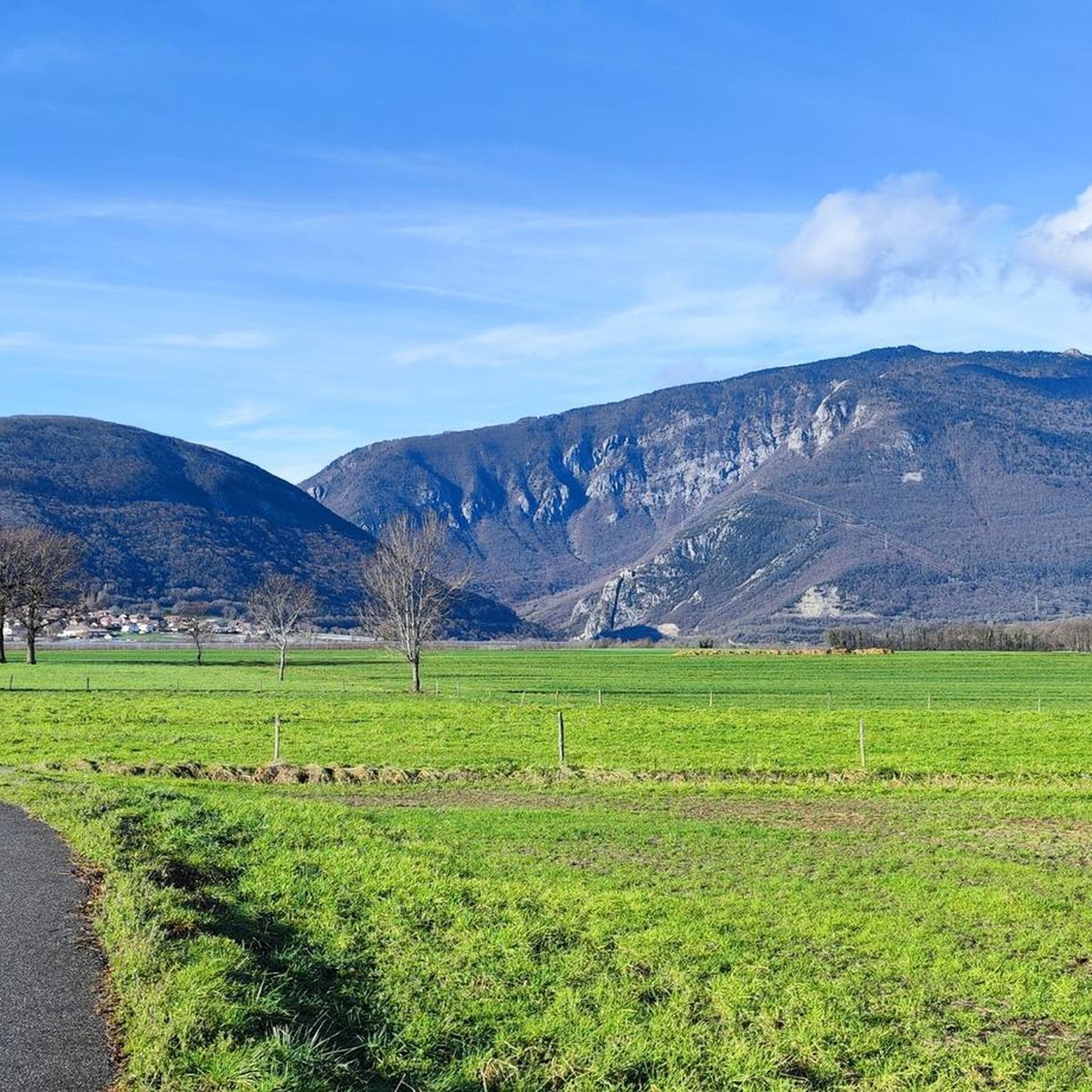
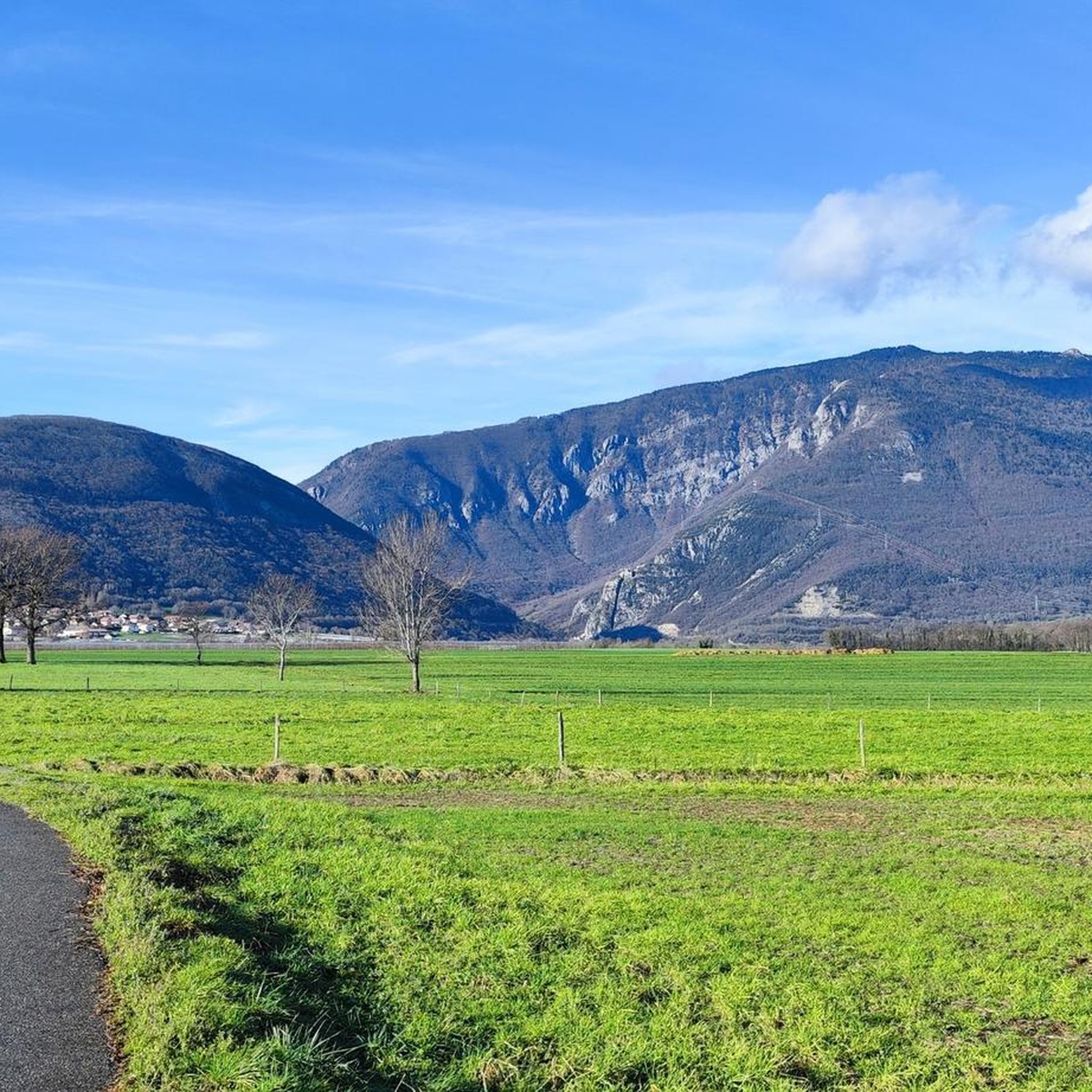
Touring cycling routes around Dingy-En-Vuache traverse the diverse landscapes of the Monts du Genevois region in Haute-Savoie, France. The area is characterized by prominent natural features such as Mont Vuache and offers alpine vistas, including views of the Aravis Massif and Bornes massif. Cyclists can explore routes that follow alpine river ecosystems and pass through glacial valleys.
Best touring cycling routes around Dingy-En-Vuache
- The most popular touring cycling route is View of the Rhône – Border Crossing loop from Valleiry…
Last updated: October 13, 2026
4.2
(10)
118
riders
41.8km
02:35
340m
340m
Moderate bike ride. Good fitness required. Mostly paved surfaces. Suitable for all skill levels.
3.9
(7)
87
riders
34.6km
02:25
620m
620m
Hard bike ride. Very good fitness required. Mostly paved surfaces. Suitable for all skill levels.

5.0
(2)
25
riders
24.7km
01:40
340m
340m
Moderate bike ride. Good fitness required. Mostly paved surfaces. Suitable for all skill levels.
13
riders
107km
07:00
1,420m
1,420m
Hard bike ride. Very good fitness required. Mostly paved surfaces. Suitable for all skill levels.
5.0
(1)
25
riders
14.4km
00:56
110m
110m
Easy bike ride. Great for any fitness level. Mostly paved surfaces. Suitable for all skill levels.
Get access to more routes and recommendations from other explorers.
Already have an account?
Our route recommendations are based on thousands of hikes, rides, and runs completed by other people on komoot.
Start today with a free account
Your next adventure awaits.

Tips from the Community


Cycle path by the lake, disruptive cars separate, busy on Sundays. Beautiful views.
2
0
Cycle path by the lake, disruptive cars separate, busy on Sundays. Unfortunately, no cycle path all the way around.
1
0
Cycle path by the lake, disturbing cars separate, busy on Sundays.
2
0
Many villas, hardly any lake views, annoying bike route
1
0

Beautiful, must ride in the south of France
0
0

The path is difficult to use by bike on busy days, especially in summer. Constant attention is required to avoid collisions with the many users and modes of transport (pedestrians, rollerbladers, sport cyclists, scooters, etc.). Ride slowly.
0
0

Very nice hike to do again
0
0
Frequently Asked Questions
What kind of terrain and difficulty levels can I expect on touring cycling routes around Dingy-en-Vuache?
The touring cycling routes around Dingy-en-Vuache offer a diverse range of terrain and difficulty. You'll find options from easy rides suitable for any fitness level to challenging ascents demanding very good fitness. The region features prominent natural features like Mont Vuache, alpine vistas of the Aravis and Bornes massifs, and routes through glacial valleys, often on paved surfaces ideal for touring cyclists. Overall, there are over 200 touring cycling routes, with 19 easy, 71 moderate, and 126 difficult options.
What natural landmarks and scenic viewpoints can I discover while cycling in Dingy-en-Vuache?
Cycling in Dingy-en-Vuache offers stunning natural beauty. You can enjoy alpine vistas with views of the Aravis Massif, including Mont Charvin, and the Bornes massif. Routes often traverse alpine river ecosystems and majestic glacial valleys. Notable features include Mont Vuache, and the iconic La Tournette which provides numerous viewpoints over the Bauges and Aravis mountain ranges. The climb to Col de la Forclaz also offers superb views of Lake Annecy. You might also encounter the View of the Rhône on routes like View of the Rhône – Border Crossing loop from Valleiry.
Are there any family-friendly touring cycling routes in Dingy-en-Vuache?
Yes, Dingy-en-Vuache offers several family-friendly touring cycling routes. For an easier option, consider the View of the Vuache – Vulbens loop from Valleiry, which is an easy 12.8 km (8 miles) ride. The region generally provides options for easy rides suitable for various ability levels, making it possible to find routes that are comfortable for families.
When is the best time of year to go touring cycling in Dingy-en-Vuache?
The best time for touring cycling in Dingy-en-Vuache is generally during the warmer months, from spring through early autumn. This period offers pleasant temperatures and more stable weather conditions for exploring the diverse landscapes, alpine vistas, and glacial valleys. While specific seasonal data isn't provided, the region's alpine characteristics suggest that late spring, summer, and early autumn will provide the most enjoyable cycling experience.
What historical sites or cultural attractions can I visit along the cycling routes?
Beyond the natural beauty, touring cycling routes can lead you to interesting historical and cultural sites. You might visit Thônes, known as the 'capital of the Aravis and of the reblochon cheese.' The village of Chaumont features the ruins of a 12th-century fortified castle. Cyclists can also discover Fort l'Écluse, a historic fortification. Additionally, the Border Marker No. 1 – Westernmost Point of Switzerland is a unique landmark you might encounter.
Are there any circular touring cycling routes available in the Dingy-en-Vuache area?
Yes, many touring cycling routes around Dingy-en-Vuache are designed as loops, allowing you to start and finish in the same location. Examples include the View of the Rhône – Border Crossing loop from Valleiry, a 77.8 km (48.4 miles) route, and the Old Town of Onex – Swiss/French border loop from Valleiry, which is 41.4 km (25.7 miles). Another option is the View of the Rhône – View of Château d'Arcine loop from Valleiry, a 25.9 km (16.1 miles) trail.
What do other touring cyclists enjoy most about cycling in Dingy-en-Vuache?
The touring cycling routes in Dingy-en-Vuache are highly rated by the komoot community, with an average score of 4.3 stars from over 400 reviews. Nearly 4,000 touring cyclists have used komoot to explore the varied terrain. Cyclists often praise the diverse landscapes, the stunning alpine vistas of the Aravis and Bornes massifs, and the well-maintained routes that traverse glacial valleys and follow alpine river ecosystems.
Are there any waterfalls or significant water features to see on the touring cycling routes?
Yes, the region features alpine river ecosystems, and you can find notable water features. One such attraction is Pertes de la Valserine, a series of impressive waterfalls and gorges. Additionally, you might discover Pont de Pissieu, a stone bridge from 1721, where you can admire the Fornant and intriguing 'giant's pots' carved into limestone rock.
Can I find any lakes or natural reserves near the cycling routes in Dingy-en-Vuache?
Absolutely. The area around Dingy-en-Vuache is home to several beautiful lakes and natural reserves. You can find Lac de la Gravière de Sous Conflans, Étang de la Touvière, and Étang des Vignes. For nature enthusiasts, the Teppes de Verbois Nature Reserve offers a chance to experience the local flora and fauna.
Are there any advanced or challenging touring cycling routes for experienced cyclists?
Yes, for experienced touring cyclists seeking a challenge, Dingy-en-Vuache offers numerous difficult routes. Out of over 200 routes, 126 are classified as difficult. A prime example is the View of the Rhône – Border Crossing loop from Valleiry, a demanding 77.8 km (48.4 miles) trail with significant elevation gain, taking approximately 5 hours to complete. The region's challenging ascents and varied terrain cater to those with very good fitness.
What is the average length of touring cycling routes in Dingy-en-Vuache?
The touring cycling routes around Dingy-en-Vuache vary significantly in length, catering to different preferences and fitness levels. While there isn't a single average, routes can range from shorter, easier loops like the View of the Vuache – Vulbens loop from Valleiry at 12.8 km (8 miles), to moderate options such as the Pougny–Chancy Bridge – Border Crossing loop from Vulbens at 23.3 km (14.5 miles), and longer, more challenging rides like the View of the Rhône – Border Crossing loop from Valleiry, which spans 77.8 km (48.4 miles).
Most popular routes around Dingy-En-Vuache
Most popular attractions around Dingy-En-Vuache

Get inspired with the komoot mobile app


Explore more
Browse the best Cycling routes in other regions.
