The best cycling routes around Wisch
4.4
(251)
2,639
riders
18
rides
Touring cycling routes around Wisch are characterized by varied terrain, including significant elevation changes and forested areas. The region features a network of paths that navigate through valleys and ascend into hills, offering diverse cycling experiences. These routes often include sections along water bodies and through natural landscapes.
Best touring cycling routes around Wisch
- The most popular touring cycling route is Col des Pandours – Along the water in Molsheim loop from Wisches, a 48.2 miles (77.6 km) trail…
Last updated: October 9, 2026
4.3
(16)
204
riders
76.7km
04:51
820m
820m
Hard bike ride. Very good fitness required. Mostly paved surfaces. Suitable for all skill levels.
4.4
(8)
70
riders
53.7km
03:30
570m
570m
Hard bike ride. Very good fitness required. Mostly paved surfaces. Suitable for all skill levels.

5.0
(1)
21
riders
29.0km
02:01
420m
420m
Moderate bike ride. Good fitness required. Mostly paved surfaces. Suitable for all skill levels.
5.0
(1)
17
riders
Hard bike ride. Very good fitness required. Mostly paved surfaces. Suitable for all skill levels.
4.2
(5)
32
riders
35.5km
02:34
700m
700m
Hard bike ride. Very good fitness required. You may need to push your bike for some segments of this route.
Get access to more routes and recommendations from other explorers.
Already have an account?
Our route recommendations are based on thousands of hikes, rides, and runs completed by other people on komoot.
Start today with a free account
Your next adventure awaits.
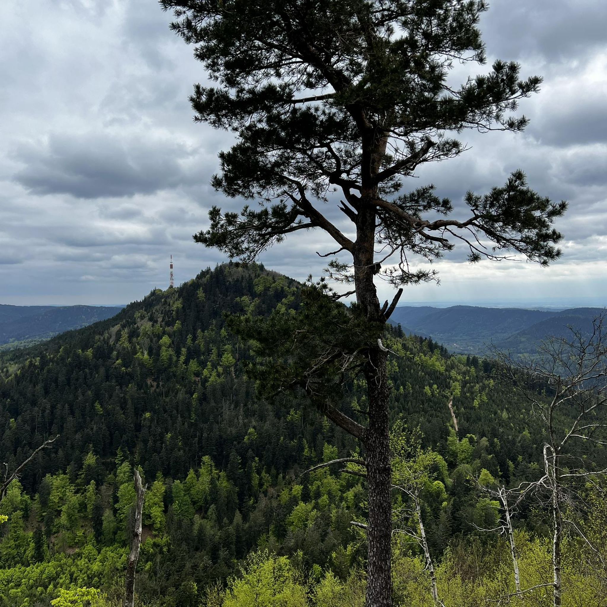
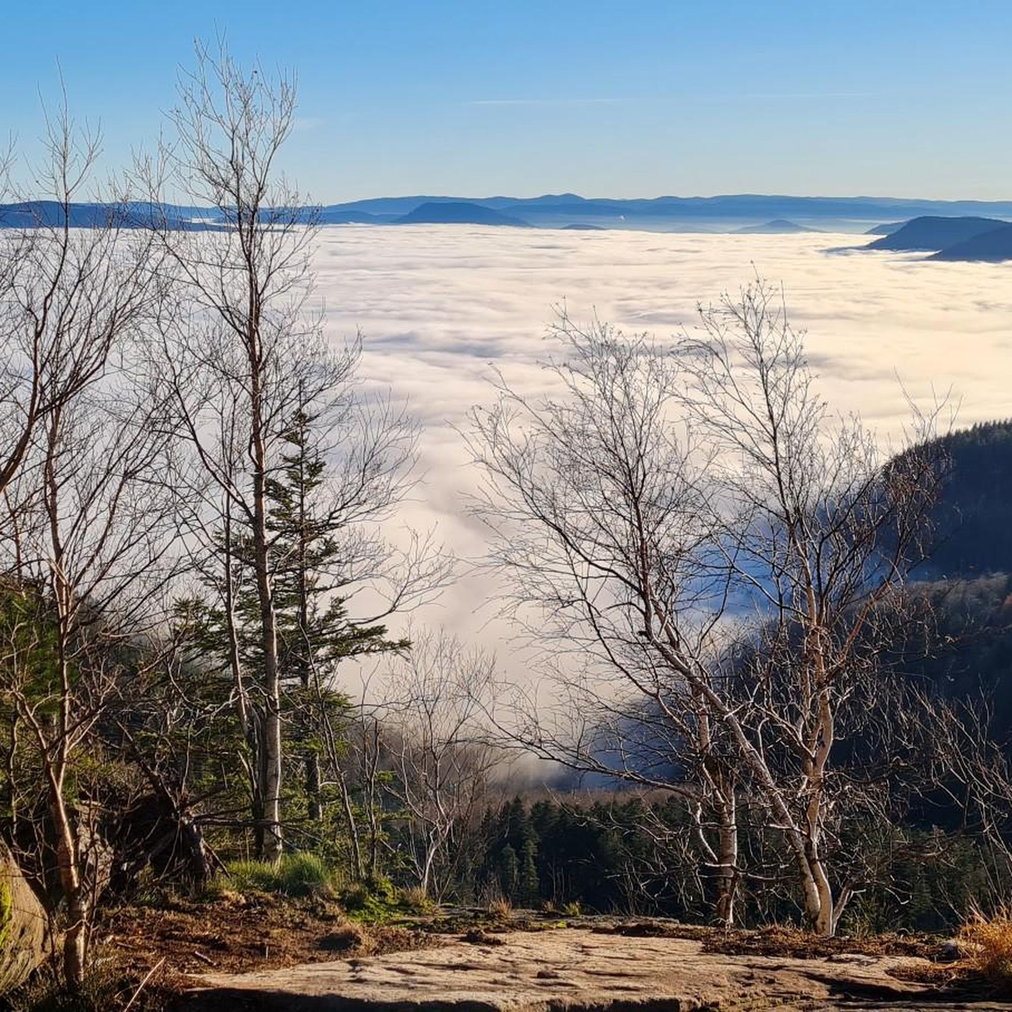
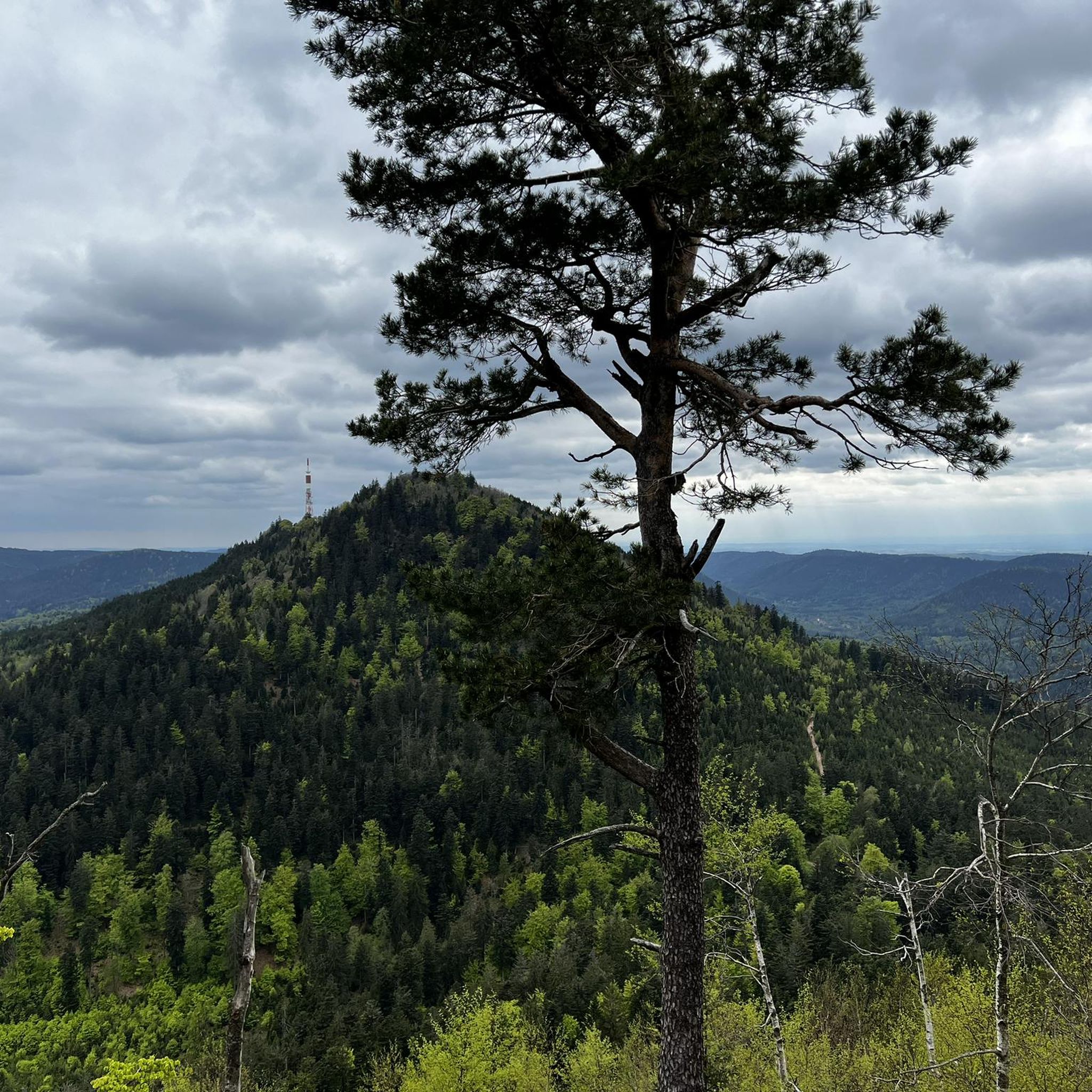
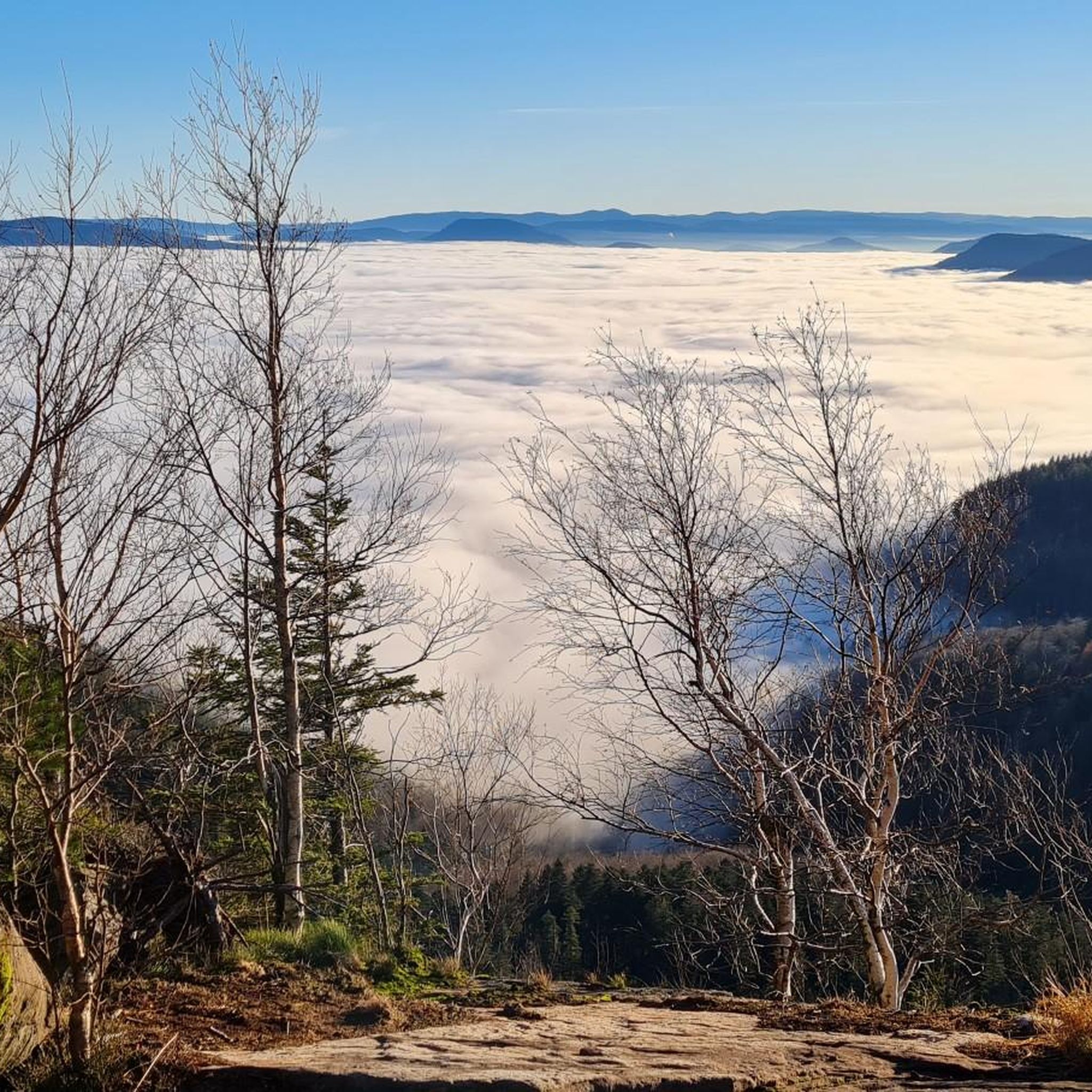
Tips from the Community

This peaceful pond in the middle of the woods is very close to a large parking lot, an ideal starting point for hikes.
4
0

When coming from Schirmeck, it is recommended to turn off in Grandfontaine and take the local road that runs parallel to the D392, which is less busy.
0
0

Beautiful hiking destination, there is also a cycling route
0
0

Something to rest your legs and your eyes
0
0
Very nice to ride: moderate gradient, little traffic.
0
1

Beautiful climb and lovely view at the pass - Altitude 728m Restaurants (inns) at the pass
1
0

Easy-to-ride cycle path.
0
0

Next to the bridge there is a picnic table
0
0
Frequently Asked Questions
How many touring cycling routes are available around Wisch?
There are over 20 touring cycling routes around Wisch, offering a variety of experiences for different skill levels. The komoot community has explored more than 23 routes in the area.
What kind of terrain can I expect on touring cycling routes around Wisch?
Touring cycling routes around Wisch are characterized by varied terrain, including significant elevation changes and forested areas. You'll find paths that navigate through valleys and ascend into hills, often including sections along water bodies and through natural landscapes.
What is the general difficulty level of touring cycling routes in Wisch?
The routes in Wisch primarily cater to more experienced cyclists, with 16 routes rated as difficult and 3 as moderate. There are also 4 easier routes available for those seeking a less strenuous ride.
What do other touring cyclists say about the routes in Wisch?
The touring cycling routes in Wisch are highly rated by the komoot community, with an average score of 4.4 stars from over 120 reviews. Cyclists often praise the varied terrain and challenging ascents.
Are there any circular touring cycling routes in Wisch?
Yes, many touring cycling routes around Wisch are designed as loops. For example, you can explore the challenging Col des Pandours – Along the water in Molsheim loop from Wisches or the moderate Étang du Coucou – Château de Salm Trail loop from Russ - Hersbach.
Can I find challenging touring cycling routes with significant climbs in Wisch?
Absolutely. Wisch is known for its challenging routes with notable climbs. A prime example is the Shaded bicycle path – Col de Steige loop from Russ - Hersbach, which offers a demanding ride through shaded landscapes with substantial elevation gain.
What natural features or landmarks can I see along touring cycling routes in Wisch?
While cycling around Wisch, you can encounter various natural features and landmarks. Consider visiting the Donon Temple, or enjoying views from the Heidenkopf viewpoint.
Are there any mountain passes to explore while cycling around Wisch?
Yes, the region around Wisch features several mountain passes that are popular with cyclists. Notable passes include Col des Pandours, Col de la Perheux, and Col du Donon.
What kind of historical or cultural sites are near the touring cycling routes?
Near the touring cycling routes, you can find interesting sites such as the Schubert Stone and Shelter at Col Entre les Deux Donons. The Grendelbruch Village also offers a glimpse into local life.
Are there any moderate touring cycling routes suitable for a less intense ride?
Yes, if you're looking for a less intense ride, there are moderate options available. The Étang du Coucou – Château de Salm Trail loop from Russ - Hersbach is a 17.6-mile (28.3 km) route with varied terrain, typically completed in under two hours.
What is the longest touring cycling route available in Wisch?
The longest touring cycling route in Wisch is the Col des Pandours – Along the water in Molsheim loop from Wisches, which spans 48.2 miles (77.6 km) and takes approximately 4 hours and 55 minutes to complete.
Are there any routes that pass through significant natural areas like summits?
Yes, some routes offer access to significant natural areas and summits. You can find highlights like the Schneeberg Summit and Le Petit Donon, which provide stunning views and a sense of accomplishment.
Most popular attractions around Wisch

Get inspired with the komoot mobile app


Explore more
Browse the best Cycling routes in other regions.
