The best road cycling routes around Dompierre-Les-Tilleuls
4.2
(60)
1,547
riders
103
rides
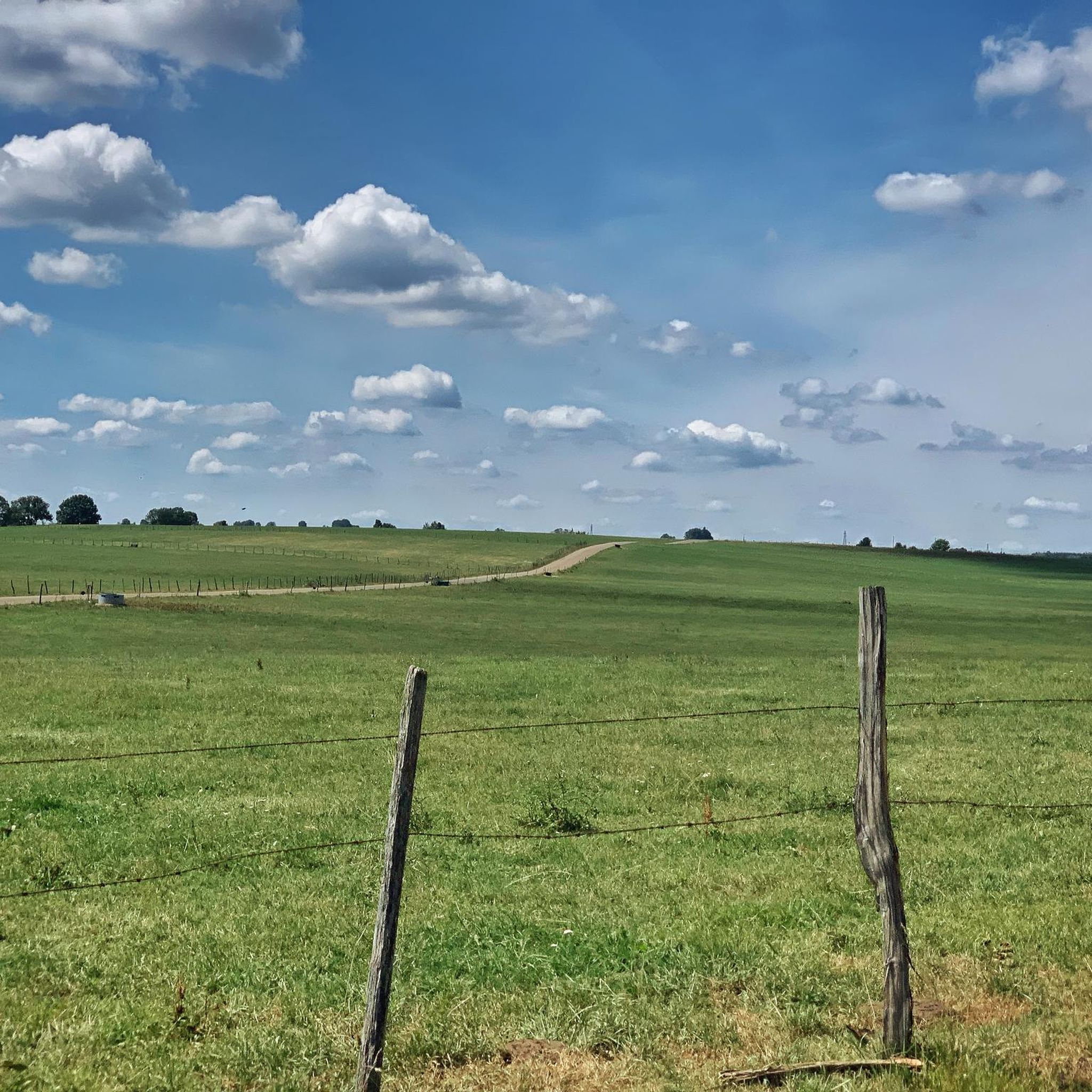
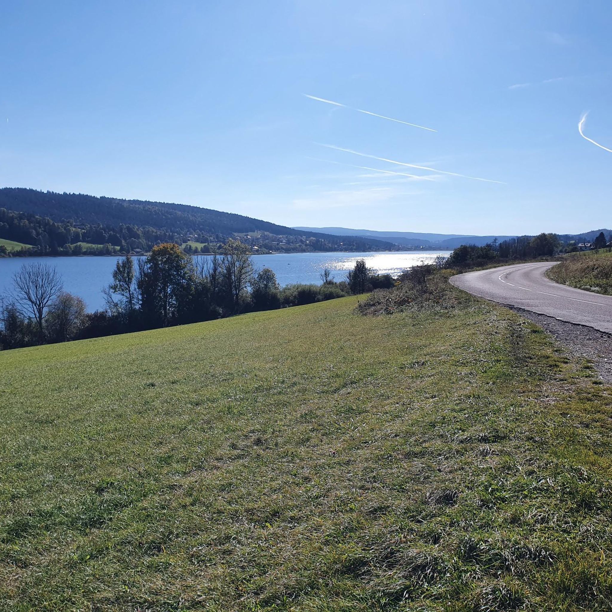
Road cycling routes around Dompierre-Les-Tilleuls are set within the picturesque Drugeon valley, offering a diverse terrain for cyclists. The region is characterized by a blend of plateaus and mountains, with an average altitude of 830 meters, providing varied challenges. Cyclists can expect routes that traverse dense forests, open plateaus, and rolling hills, often with views over the Jura mountains. This varied landscape ensures options for different fitness levels.
Best road cycling routes around Dompierre-Les-Tilleuls
- The most popular road cycling route…
Last updated: July 7, 2026
4.6
(34)
305
riders
Moderate road ride. Good fitness required. Mostly well-paved surfaces and easy to ride.
4.5
(2)
70
riders
106km
04:35
900m
900m
Hard road ride. Very good fitness required. Mostly well-paved surfaces and easy to ride.

Sign up for free
18
riders
57.7km
02:37
570m
570m
Moderate road ride. Good fitness required. Mostly well-paved surfaces and easy to ride.
5.0
(2)
40
riders
50.3km
02:03
310m
310m
Moderate road ride. Good fitness required. Mostly well-paved surfaces and easy to ride.
29
riders
26.1km
01:06
180m
180m
Easy road ride. Great for any fitness level. Mostly well-paved surfaces and easy to ride.
Get access to more routes and recommendations from other explorers.
Sign up for free
Already have an account?
Our route recommendations are based on thousands of hikes, rides, and runs completed by other people on komoot.
Start today with a free account
Your next adventure awaits.
Login or Signup



Tips from the Community


Chaux-Neuve is a small town in the Doubs region that hosts an international Nordic Combined World Cup event every year. To the south of the town, you can't miss these three large ski jumps, the largest of which rises to 118 meters.
0
0

Very nice view of the Doubs marsh between the Lac de Remoray and the Lac de Saint-Point. In the background you can see the Grand Taureau mountain
5
0


The Église Saint-Bénigne in Pontarlier is a church dating from the 15th, 16th and 17th centuries. This church combines Romanesque, Gothic and Franc-Comtoise style elements. The striking clocher porch is topped with an imperial domed roof, also known as a clocher comtois, a traditional feature of Franche-Comté. The roof is covered with glazed tiles. The Église Saint-Bénigne is located in the Haut-Doubs and is dedicated to Saint Bénigne. Since May 19, 1970, the building has been registered as a historical monument. Historically, the church was almost completely rebuilt between 1651 and 1666 on the same site as an original 11th century Romanesque church, of which almost nothing remains (except a 15th century portal). This happened after the passage of the troops of Duke Bernard de Saxe-Weimar during the Thirty Years' War. In 1666 the church was rededicated in honor of Saint Bénigne. The church has suffered serious damage over time from two fires, one in 1680 and one during the Pontarlier fire of 1736. The clocher porch was rebuilt in 1681, and the imperial dome was added in 1753 by architect Nicolas Nicole. In 1970 the church underwent a major restoration, and in 1974 new stained glass windows were created by artist Alfred Manessier and the Lorin de Chartres workshops. The organ, which dates from 1758 and is in Louis XV style, was restored in 1844 and again in 1982.
7
0
Pontarlier is a mountain town located 837 meters above sea level in the heart of the Jura Mountains. As the capital of Haut Doubs, it is located at the entrance to a vast area of protected natural areas, where forests, lakes and green meadows are essential for the production of Mont d'Or and Comté cheese. Pontarlier was once known worldwide for its production of absinthe at the beginning of the last century. Today, the city has revived this tradition, with two distilleries once again producing absinthe.
8
0
Frequently Asked Questions
How many road cycling routes are available around Dompierre-les-Tilleuls?
There are over 110 road cycling routes in the Dompierre-les-Tilleuls area. These routes offer a diverse range of experiences, from easy rides to more challenging ascents, catering to various fitness levels.
What kind of terrain can I expect on road cycling routes near Dompierre-les-Tilleuls?
The region around Dompierre-les-Tilleuls, situated in the picturesque Drugeon valley, offers a varied terrain. You'll find a mix of rolling hills on plateaus and more demanding mountain ascents, with routes traversing dense forests and open landscapes. The average altitude is around 830 meters, providing diverse challenges and scenic views over the Jura mountains.
Are there easy road cycling routes suitable for beginners or families?
Yes, the area offers 17 easy road cycling routes. An example of a route with moderate elevation suitable for a relaxed ride is the Étang de la Rivière-Drugeon – Lande du Doubs loop from La Rivière-Drugeon, which is about 27.6 km long with 180 meters of elevation gain.
What are some challenging road cycling routes for experienced cyclists?
For experienced cyclists seeking a challenge, there are 26 difficult routes available. A notable option is the View of Lac de St-Point – Mouthe loop from Frasne, a demanding 106.4 km path featuring significant elevation gains and varied terrain.
What is the best time of year for road cycling in Dompierre-les-Tilleuls?
The best time for road cycling in Dompierre-les-Tilleuls is typically from spring through autumn. While the area experiences abundant snowfall in winter, creating a magnificent backdrop, the warmer months offer more favorable conditions for road cycling. The region's natural beauty, including lush valleys and forests, is particularly vibrant during these seasons.
Are there any circular road cycling routes in the area?
Yes, many of the road cycling routes around Dompierre-les-Tilleuls are designed as loops, allowing you to start and finish in the same location. For example, the popular View of Lac de Remoray – View of the Marshes loop from La Rivière-Drugeon is a 66.9 km circular route offering scenic views.
What can I see along the road cycling routes around Dompierre-les-Tilleuls?
Road cycling routes in this region often pass through picturesque rural landscapes, featuring traditional architecture and natural wonders. You can expect to see beautiful lakes like Lac de Saint-Point and Étang de la Rivière-Drugeon, as well as dense forests and impressive viewpoints over the Jura mountains. The area is part of the Parc Naturel Régional du Doubs Horloger, known for its natural scenery.
What do other road cyclists enjoy most about cycling in Dompierre-les-Tilleuls?
The area is highly rated by the komoot community, with an average score of 4.1 stars from over 50 reviews. Cyclists often praise the varied terrain, which offers both challenging climbs and gentler rides, as well as the stunning natural landscapes, including views of lakes and the Drugeon valley. The network of routes is well-regarded for its diversity.
Are there routes that pass by notable natural features or landmarks?
Many routes offer glimpses of the region's natural beauty. For instance, the View of the Marshes – Tour of Lake Saint Point loop from La Rivière-Drugeon takes you past scenic marshes and offers views of Lake Saint Point. The broader region is known for its natural monuments, canyons, waterfalls, and caves within the Parc Naturel Régional du Doubs Horloger.
Can I access road cycling routes using public transport near Dompierre-les-Tilleuls?
Dompierre-les-Tilleuls is only 2 km from Frasne, a larger town that serves as a hub for various activities and services, including public transport connections. While specific public transport access points for each route vary, starting points near towns like Frasne or La Rivière-Drugeon often provide better accessibility for cyclists relying on public transport.
What are the typical distances and durations for road cycling routes in this area?
The road cycling routes around Dompierre-les-Tilleuls vary significantly in distance and duration. You can find shorter rides, like the 27.6 km Étang de la Rivière-Drugeon – Lande du Doubs loop which takes about 1 hour 10 minutes, up to longer, more challenging routes such as the 106.4 km View of Lac de St-Point – Mouthe loop, which can take over 4 hours 30 minutes to complete.
Most popular routes around Dompierre-Les-Tilleuls
Most popular attractions around Dompierre-Les-Tilleuls

Get inspired with the komoot mobile app


Explore more
Browse the best Road cycling routes in other regions.
