
The best running trails around Saint-Sauveur-De-Puynormand
4.5
(10)
306
runners
73
runs
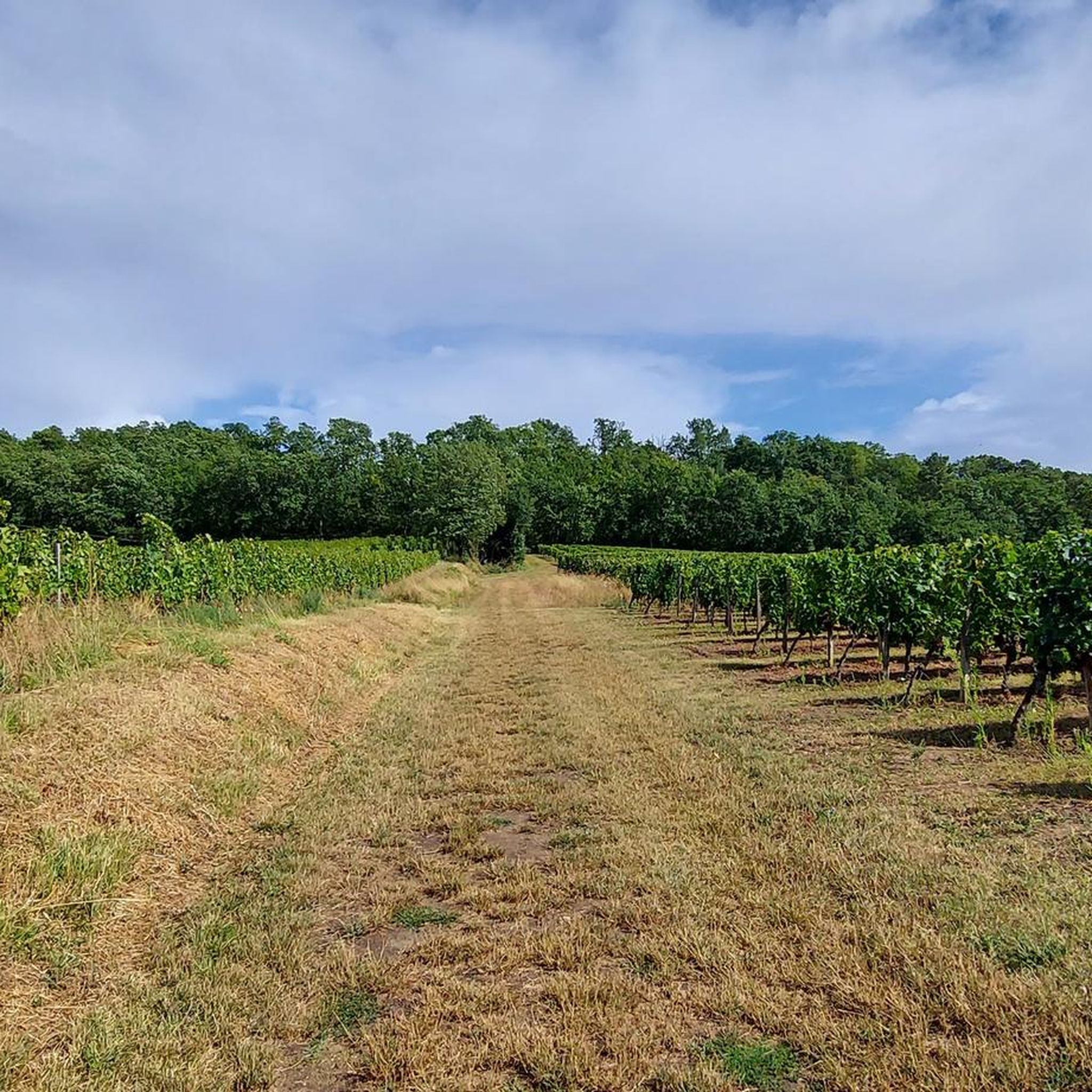
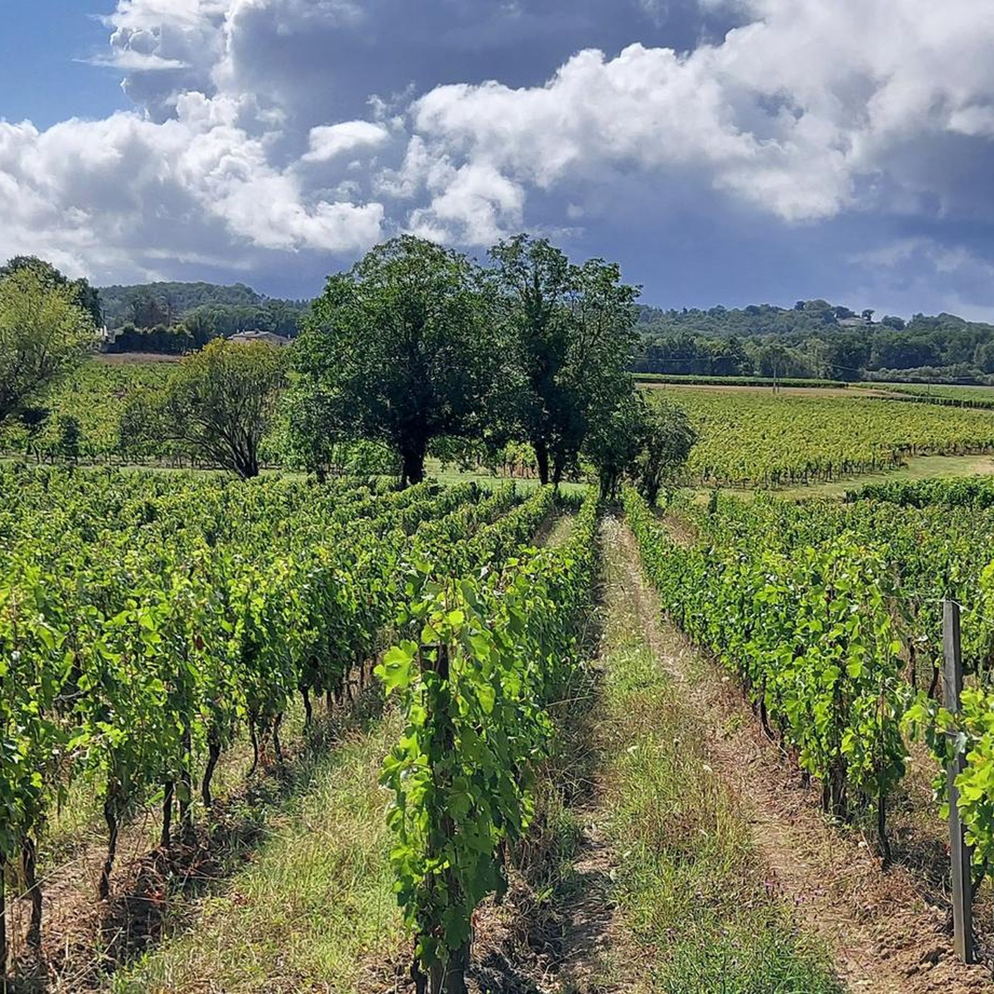
Jogging routes around Saint-Sauveur-de-Puynormand traverse a varied landscape in the Gironde department of France. The area is characterized by its position on a hillside overlooking the Isle valley, offering diverse terrain for runners. This region features a mix of vineyards, forests, and river proximity, providing a range of natural settings for running activities.
Best jogging routes around Saint-Sauveur-de-Puynormand
- The most popular jogging route is Running loop from Saint-Médard-de-Guizières, a 4.3 miles (7.0 km) trail that takes about 43 minutes…
Last updated: October 16, 2026
7
runners
8.26km
00:51
10m
10m
Moderate run. Good fitness required. Mostly paved surfaces. Suitable for all skill levels.
3
runners
9.14km
00:56
20m
20m
Moderate run. Good fitness required. Mostly paved surfaces. Suitable for all skill levels.

3
runners
4.18km
00:26
10m
10m
Easy run. Great for any fitness level. Mostly paved surfaces. Suitable for all skill levels.
4
runners
17.0km
01:48
50m
50m
Hard run. Very good fitness required. Mostly paved surfaces. Suitable for all skill levels.
3
runners
10.6km
01:06
40m
40m
Moderate run. Good fitness required. Mostly paved surfaces. Suitable for all skill levels.
Get access to more routes and recommendations from other explorers.
Already have an account?
Our route recommendations are based on thousands of hikes, rides, and runs completed by other people on komoot.
Start today with a free account
Your next adventure awaits.

Frequently Asked Questions
How many running routes are available around Saint-Sauveur-de-Puynormand?
There are over 60 dedicated running routes around Saint-Sauveur-de-Puynormand, offering a wide variety of distances and difficulty levels for joggers.
What kind of terrain can I expect on the jogging routes in this region?
The routes in Saint-Sauveur-de-Puynormand traverse a varied landscape, from its position on a hillside overlooking the Isle valley to paths through vineyards, forests, and areas near rivers. You'll find a mix of mostly paved surfaces and more natural, accessible trails.
Are there any easy jogging routes for beginners or a relaxed run?
Yes, the area offers 4 easy running routes. A good option for a relaxed run is the Running loop from Saint-Seurin-sur-l'Isle, which is 4.2 km long and takes about 26 minutes to complete.
What do other runners enjoy most about jogging in Saint-Sauveur-de-Puynormand?
The running routes in Saint-Sauveur-de-Puynormand are highly rated by the komoot community, with an average score of 4.0 stars. Runners often praise the diverse terrain, the scenic hillside views, and the peaceful paths through vineyards and forests.
Are there any long-distance or more challenging running trails?
For those seeking a longer or more challenging run, there are 3 difficult routes available. Consider the L'Isle loop from Saint-Médard-de-Guizières, which spans 17.0 km and features varied elevation.
Can I find circular running routes in the area?
Yes, many of the running routes around Saint-Sauveur-de-Puynormand are designed as loops, allowing you to start and finish at the same point. For example, the Running loop from Saint-Seurin-sur-l'Isle is a moderate 10.7 km circular path.
What natural features or landmarks can I see while jogging?
While jogging, you can enjoy the picturesque views of the Isle valley and the surrounding vineyards. Nearby attractions include the historic Château de Monbadon, the serene Lake Gurson and Ruins of Gurson Castle, and various viewpoints like the View of the Vineyards Before Saint-Émilion.
Is Saint-Sauveur-de-Puynormand a good place for family-friendly running or walking?
Yes, the region offers several easy and moderate routes that are suitable for families. The varied landscapes, including forests and riverside paths, provide an enjoyable setting for all ages to explore on foot.
Are there any dog-friendly running trails in Saint-Sauveur-de-Puynormand?
Many of the trails in the Gironde countryside are suitable for running with dogs, provided they are kept under control. It's always advisable to check local signage for specific restrictions, especially in nature reserves or agricultural areas.
What is the best time of year to go jogging in Saint-Sauveur-de-Puynormand?
The region is pleasant for outdoor activities for much of the year. Spring and autumn offer mild temperatures and beautiful scenery, ideal for running. Summer can be warm, so early morning or late evening runs are recommended. Winter runs are also possible, though some paths might be muddy after rain.
Are there any viewpoints or particularly scenic routes for running?
Given its location on a hillside overlooking the Isle valley, many routes offer scenic views. The general region is known for its vineyards and forests, providing picturesque backdrops. Look for routes that pass by the View of the Vineyards Before Saint-Émilion for particularly stunning vistas.
Are there options for parking near the trailheads?
While specific parking details for every trailhead are not listed, many villages and starting points for routes in the Gironde countryside typically offer public parking. It's recommended to check the individual route descriptions on komoot for more precise parking information.
Most popular routes around Saint-Sauveur-De-Puynormand
Most popular attractions around Saint-Sauveur-De-Puynormand

Get inspired with the komoot mobile app


Explore more
Browse the best Running Trails & Routes in other regions.
