The best running trails around Allonzier-La-Caille
4.4
(181)
13,120
runners
16
runs
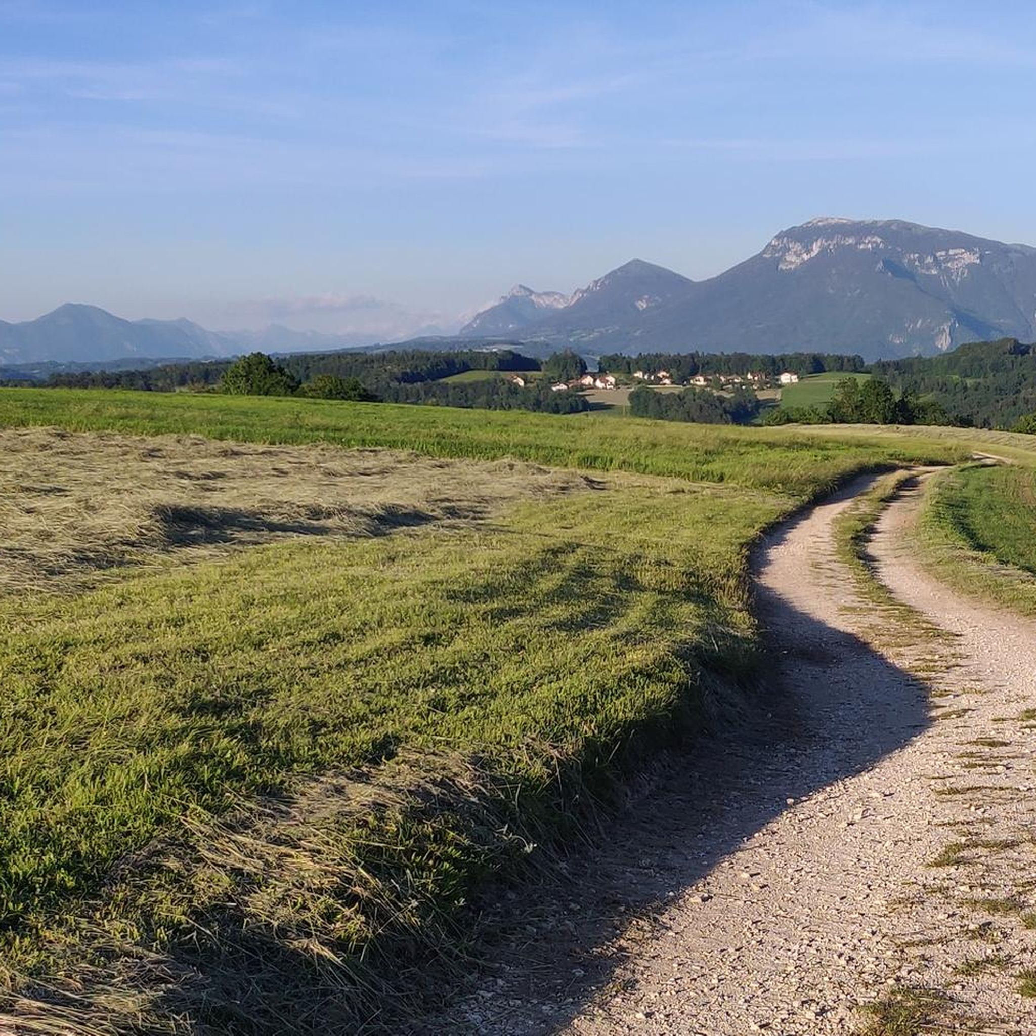
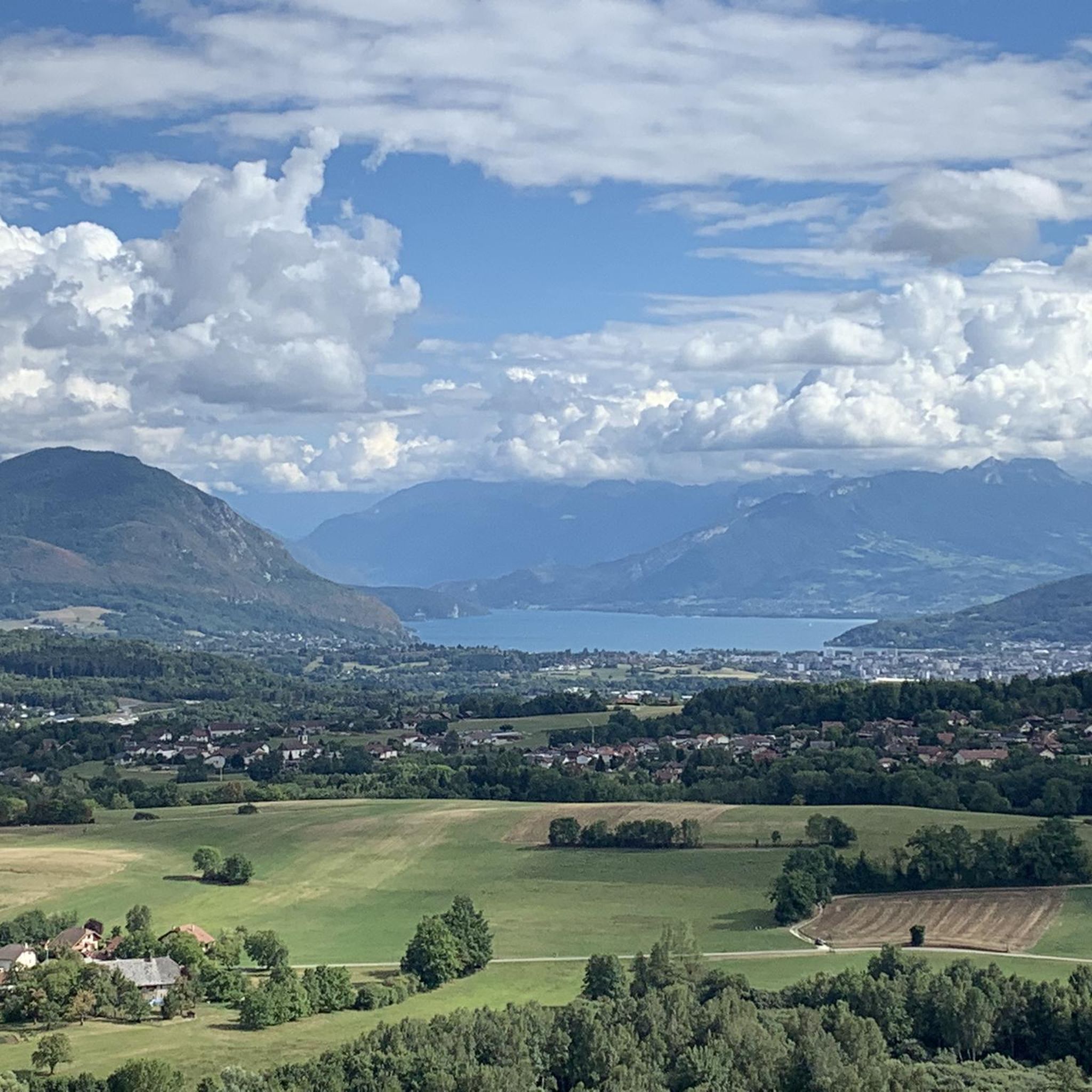
Jogging around Allonzier-La-Caille offers routes through the diverse natural landscapes of the Haute-Savoie department in the Auvergne-Rhône-Alpes region of France. The area features an alpine environment with varied terrain, including hills, valleys, and forests. Proximity to Lake Annecy and peaks like Mont Veyrier provides scenic running opportunities.
Best jogging routes around Allonzier-La-Caille
- The most popular jogging route is View of Allonzier – Grimpe grimpe griiiiiimpe loop from Allonzier-la-Caille, a 3.6 miles (5.8 km) trail that takes 47 minutes to complete. This route offers views of the surrounding alpine landscape.
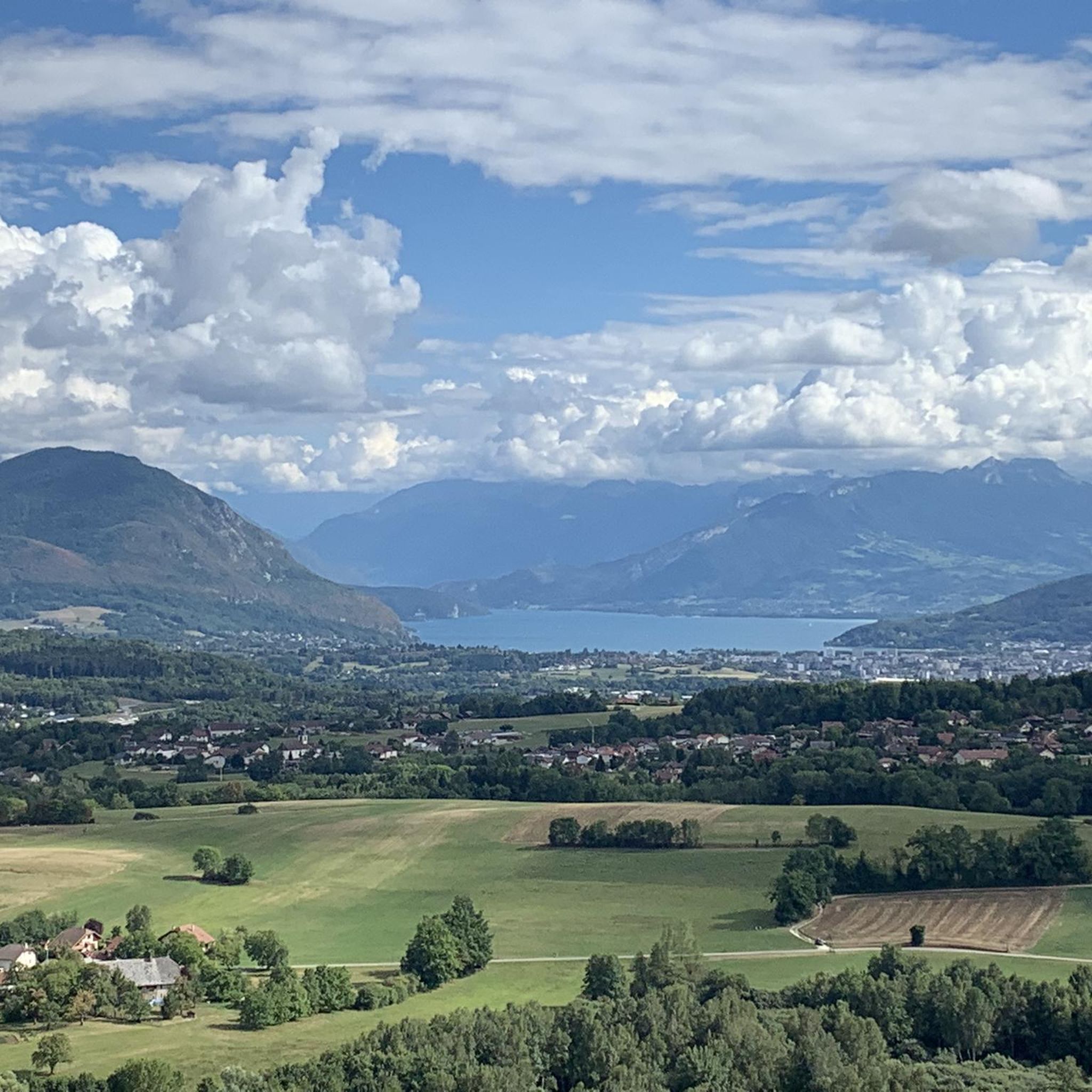
- Another top favourite among local runners is View of Allonzier loop from Allonzier-la-Caille, a moderate 5.3 miles (8.5 km) path. This route provides panoramic vistas of Lake Annecy and nearby peaks.
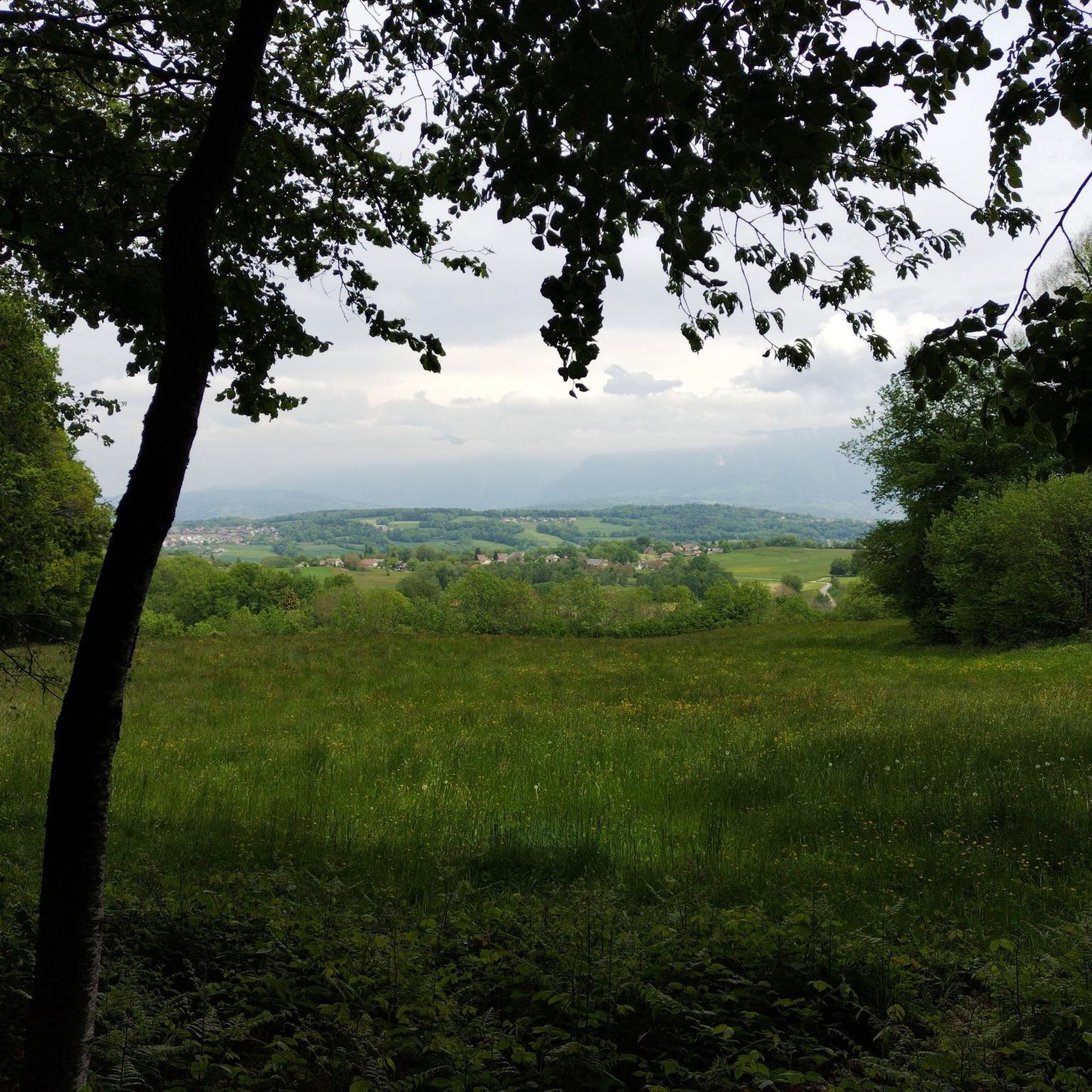
- Local runners also love the La Clef des Faux loop from Allonzier-la-Caille, a 5.3 miles (8.6 km) trail leading through varied terrain including forests and open areas, often completed in about 55 minutes.
- Jogging around Allonzier-La-Caille is defined by an alpine environment, mountains, and valleys, with routes offering options for different ability levels.
- The routes in Allonzier-La-Caille are highly rated by the komoot community with an average score of 4.3 stars from over 170 reviews. More than 14,000 runners have used komoot to explore Allonzier-La-Caille's varied terrain.
Last updated: July 2, 2026
5.0
(1)
89
runners
11.9km
01:33
330m
330m
Hard run. Very good fitness required. Sure-footedness, sturdy shoes and alpine experience required.
5.0
(1)
41
runners
18.9km
02:27
520m
520m
Hard run. Very good fitness required. Sure-footedness, sturdy shoes and alpine experience required.

Sign up for free
25
runners
9.60km
01:19
300m
300m
Hard run. Very good fitness required. Sure-footedness, sturdy shoes and alpine experience required.
5.0
(1)
14
runners
Moderate run. Good fitness required. Mostly paved surfaces. Suitable for all skill levels.
5.0
(1)
14
runners
8.47km
01:09
270m
270m
Moderate run. Good fitness required. Mostly paved surfaces. Suitable for all skill levels.
Get access to more routes and recommendations from other explorers.
Sign up for free
Already have an account?
Our route recommendations are based on thousands of hikes, rides, and runs completed by other people on komoot.
Start today with a free account
Your next adventure awaits.
Login or Signup

Tips from the Community

A beautiful route between Yvoire and Annecy mostly via cycle paths and country roads.
0
0

Possibility to come and climb as a team or as a family.
0
0

A great view for a wooden bridge… infamous in the region but superb.
0
0

View of the two bridges. You can cross the Pont de la Caille on foot or by bike and this avoids the main road.
0
0


The bridge is very impressive and offers a great view. The visit is worthwhile
0
0

An imposing bridge. Unfortunately, the group didn't stop here. But immediately caught my eye.
0
0

A short detour over the bridge is worth looking for because of the gigantic view of the gorge
0
0
Frequently Asked Questions
How many running routes are available around Allonzier-La-Caille?
There are over 10 dedicated running routes around Allonzier-La-Caille, offering a variety of distances and terrains suitable for different fitness levels. The komoot community has explored these trails over 14,000 times.
What kind of terrain can I expect on the jogging trails in Allonzier-La-Caille?
The region around Allonzier-La-Caille is characterized by an alpine environment, featuring varied terrain including hills, valleys, and forests. You'll find routes with moderate elevation changes, providing both scenic views and a good workout. For example, the View of Allonzier – Grimpe grimpe griiiiiimpe loop includes significant ascents.
Are there any circular running routes in the area?
Yes, many of the running paths around Allonzier-La-Caille are circular, allowing you to start and finish at the same point. A popular option is the View of Allonzier loop, which offers panoramic vistas and brings you back to your starting point.
What are the best times of year for running in Allonzier-La-Caille?
The region's alpine environment makes spring, summer, and early autumn ideal for running. During these seasons, the weather is generally pleasant, and the natural landscapes are at their most vibrant. Winter running is possible but may require appropriate gear due to snow or colder temperatures, especially at higher elevations.
Are there any family-friendly jogging routes around Allonzier-La-Caille?
While many routes involve moderate elevation, some trails are suitable for families looking for a less strenuous run. The varied terrain often includes paths through forests and open areas that can be enjoyed by different age groups. Always check the route details for specific difficulty levels.
Can I bring my dog on the running trails?
Many outdoor trails in the Haute-Savoie region are dog-friendly, but it's always recommended to keep your dog on a leash, especially in nature reserves or areas with livestock. Be mindful of local regulations and other trail users.
What landmarks or natural features can I see while jogging?
The area boasts stunning natural beauty. You can enjoy views of Lake Annecy and surrounding peaks like Mont Veyrier. Highlights include the Lachat Mountain - viewpoint and Le Mont de Musièges. The La Clef des Faux loop, for instance, takes you through varied terrain including forests.
Are there any routes that offer views of Lake Annecy?
Absolutely. The proximity of Allonzier-La-Caille to Lake Annecy means several routes provide picturesque lake views. The View of Allonzier loop is specifically noted for its panoramic vistas of Lake Annecy and nearby peaks.
Where can I find parking for the running trails?
Many trailheads around Allonzier-La-Caille offer designated parking areas. For routes like the Pont de la Caille loop, you can often find parking near the starting point in villages like Les Voisins. It's advisable to check specific route details for parking information.
What do other runners enjoy most about jogging in Allonzier-La-Caille?
The running routes in Allonzier-La-Caille are highly rated by the komoot community, with an average score of 4.3 stars from over 170 reviews. Runners frequently praise the diverse natural landscapes, the fresh alpine air, and the rewarding views of Lake Annecy and the surrounding mountains.
How long are the typical running routes in this area?
Running routes around Allonzier-La-Caille vary in length. For example, the View of Allonzier – Grimpe grimpe griiiiiimpe loop is about 5.8 km (3.6 miles), while the Running loop from Allonzier-la-Caille extends to about 9.5 km (5.9 miles), offering options for both shorter and longer runs.
Are there any easy running paths for beginners?
While most routes are classified as moderate due to the alpine terrain, there are paths with less significant elevation gain. It's best to review the elevation profiles on komoot for each route to find one that matches your comfort level. The region's natural tranquility makes even moderate paths enjoyable for those building endurance.
Most popular routes around Allonzier-La-Caille
Most popular attractions around Allonzier-La-Caille

Get inspired with the komoot mobile app


Explore more
Browse the best Running Trails & Routes in other regions.
