The best walks and hikes around Laissaud
4.5
(904)
8,959
hikers
301
hikes
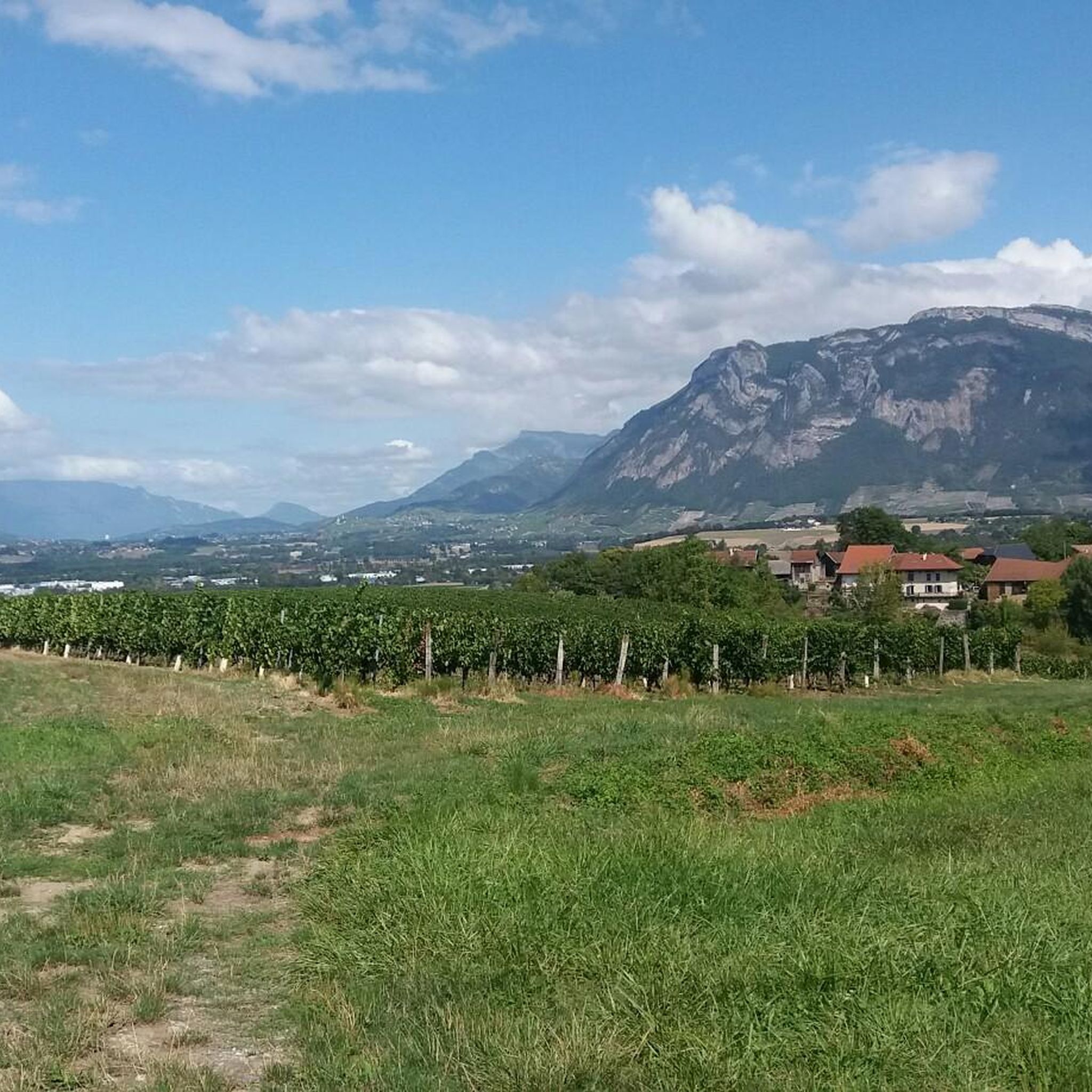
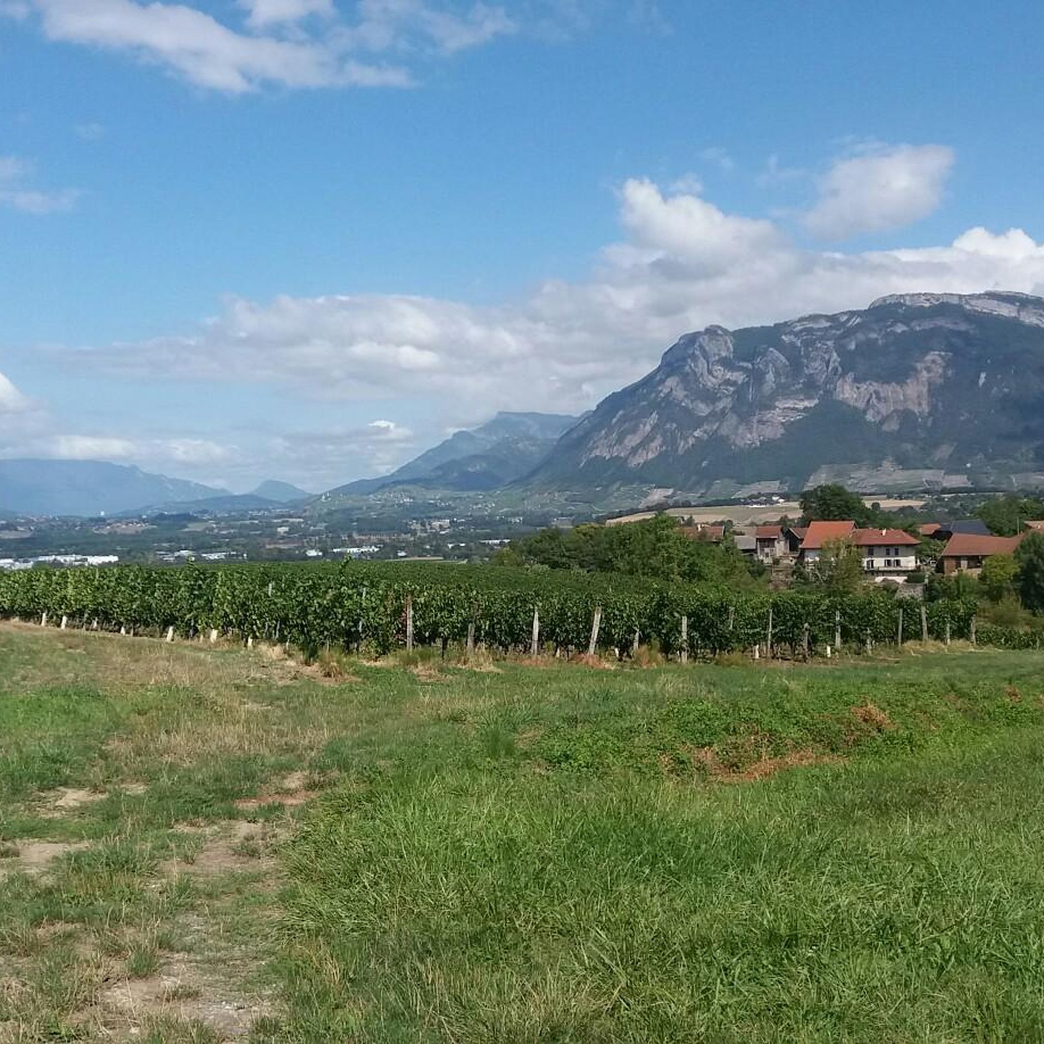
Hiking around Laissaud, located in the Savoie department of the Auvergne-Rhône-Alpes region, offers diverse landscapes for outdoor activities. The terrain features altitudes ranging from 245 to 433 meters, with significant agricultural land and forest cover. This area provides access to the Chartreuse Massif, known for its extensive network of marked trails. The region is characterized by varied environments, including woodlands, hills, and water features.
Best hiking trails around Laissaud
- The most popular hiking route is La Bathie track loop from…
Last updated: October 4, 2026
11
hikers
7.36km
02:11
220m
220m
Moderate hike. Good fitness required. Easily-accessible paths. Suitable for all skill levels.
5.0
(1)
26
hikers
3.66km
00:56
10m
10m
Easy hike. Great for any fitness level. Easily-accessible paths. Suitable for all skill levels.

5.0
(2)
12
hikers
4.40km
01:17
110m
110m
Easy hike. Great for any fitness level. Easily-accessible paths. Suitable for all skill levels.
4.7
(3)
18
hikers
6.25km
01:59
260m
260m
Easy hike. Great for any fitness level. Easily-accessible paths. Suitable for all skill levels.
8
hikers
8.82km
03:08
460m
460m
Moderate hike. Good fitness required. Mostly accessible paths. Sure-footedness required.
Get access to more routes and recommendations from other explorers.
Already have an account?
Our route recommendations are based on thousands of hikes, rides, and runs completed by other people on komoot.
Start today with a free account
Your next adventure awaits.

Tips from the Community

In the heart of Chapareillan, the Saint-Blaise and Notre-Dame church blends Romanesque, Gothic, and modern elements. Remodeled several times, it retains a massive square bell tower and a sober interior. From the forecourt, the view opens onto the reliefs of the Chartreuse massif.
1
0

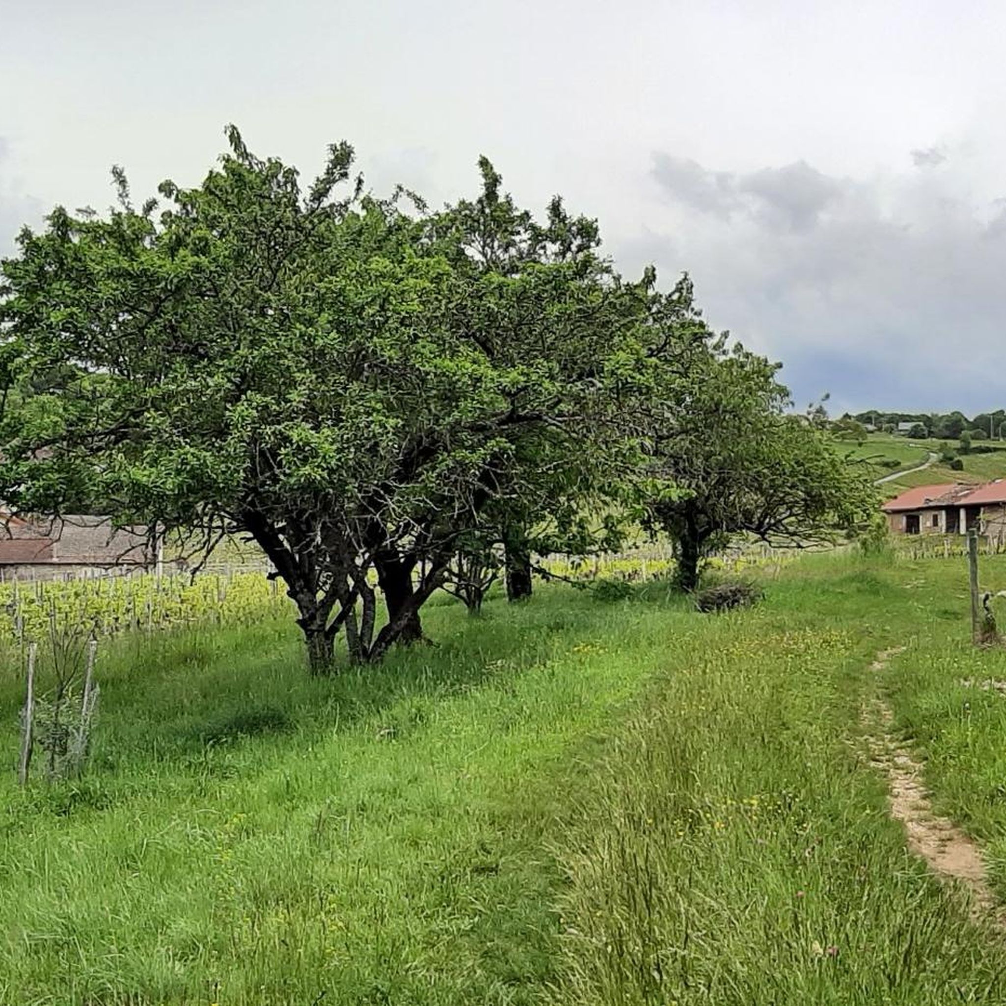
Hiking mainly in the forest which climbs well at the start!
0
0

The small hamlet of Bellecombe offers superb views of the Belledonne chain. There are several public fountains.
0
0

Frequently Asked Questions
How many hiking trails are available around Laissaud?
There are over 280 hiking routes in the Laissaud area, catering to various skill levels. You'll find approximately 86 easy routes, 146 moderate paths, and 53 more challenging trails to explore.
What kind of terrain can I expect on hikes near Laissaud?
The terrain around Laissaud is quite diverse, ranging from 245 to 433 meters in altitude. You'll encounter agricultural lands, significant forest cover, and varied environments including woodlands and hills. The region provides access to the Chartreuse Massif, known for its extensive network of trails that can range from gentle strolls to more challenging ascents.
Are there any easy, family-friendly hiking options in Laissaud?
Yes, Laissaud offers several easy routes suitable for families. For instance, the Lake Lône loop from Pontcharra is an easy 2.3 miles (3.7 km) path with gentle gradients, perfect for a relaxed walk. Another good option is the Tour d'Avalon loop from Saint-Maximin, a 2.7 miles (4.4 km) trail through rural landscapes.
Can I find circular hiking routes in the Laissaud area?
Yes, many of the trails around Laissaud are designed as circular routes, allowing you to start and end at the same point. Examples include the popular La Bathie track loop from Villaroux, the Lake Lône loop from Pontcharra, and the Tour d'Avalon loop from Saint-Maximin.
Are there any waterfalls or significant water features to see on hikes?
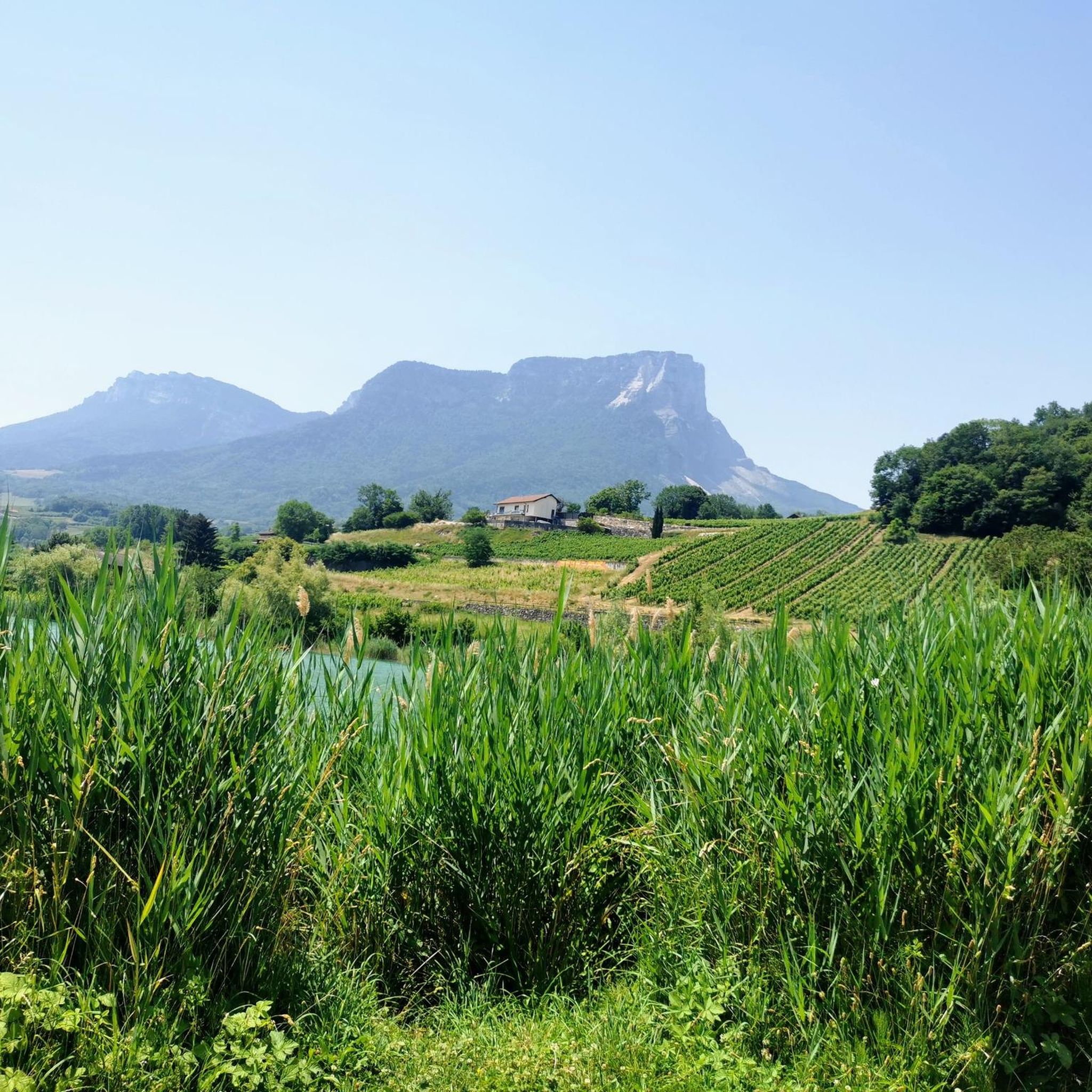
Absolutely. The Gouille Waterfall is a captivating series of waterfalls spanning 800 meters, featuring accessible paths and wooden bridges. You can also visit Lake Saint-André, a charming lake nestled amidst vineyards, which offers a pleasant spot for relaxation.
What are some notable viewpoints or panoramic spots in the region?
The Laissaud area, being close to the Chartreuse Massif, offers several stunning viewpoints. Mont Joigny provides rewarding views of the highest peaks, including Mont Granier. For a 360-degree panorama, Les Plagnes allows you to identify various surrounding mountain ranges like Belledonne, Vercors, Chartreuse, and Bauges, with Mont Blanc visible on clear days.
What do other hikers say about the trails around Laissaud?
The hiking routes in Laissaud are highly regarded by the komoot community, holding an average rating of 4.5 stars from over 800 reviews. Hikers often praise the diverse landscapes, the well-marked paths, and the accessibility to the Chartreuse Massif, making it an appealing destination for both challenging ascents and serene nature walks.
Is public transport available to reach hiking trailheads near Laissaud?
While Laissaud is a smaller commune, public transport options to specific trailheads can be limited. It's advisable to check local bus schedules or consider driving to reach the starting points of many hikes, especially those deeper within the Chartreuse Massif. Parking information is often available for popular trailheads.
Do I need any permits for day hikes in the Savoie region around Laissaud?
Generally, day hikes on marked trails in the Savoie region, including around Laissaud and within the Chartreuse Massif, do not require specific permits. However, always respect local regulations, especially concerning protected natural areas or private land. For more detailed information on the Chartreuse region's trails, you can visit chartreuse-tourisme.com.
Are there any mountain passes I can explore near Laissaud?
Yes, the region features significant mountain passes that serve as gateways to further exploration. The Granier Pass is a notable highlight, leading into the Chartreuse massif or down to the scenic vineyards of Apremont. Other passes like Marocaz Pass and Alpette Pass also offer access to beautiful hiking areas.
What is the best time of year to go hiking in Laissaud?
Laissaud experiences a 'mountainous fringe climate,' making spring, summer, and early autumn ideal for hiking. During these seasons, the weather is generally pleasant, and the trails are most accessible. While winter hikes are possible, higher elevation trails may require snowshoes or specific winter gear due to snow and ice conditions.
Are there any specific trails that offer views of Mont Blanc?
Yes, on clear days, you can catch a glimpse of Mont Blanc from certain panoramic viewpoints. Les Plagnes, in particular, is known for its 360-degree panorama where, with the aid of an orientation table, hikers can identify various surrounding mountain ranges and often spot Mont Blanc in the distance.
Most popular routes around Laissaud
Most popular attractions around Laissaud

Get inspired with the komoot mobile app


Explore more
Browse the best Hikes in other regions.
