The best cycling routes around Vaulnaveys-Le-Haut
4.4
(1081)
18,186
riders
239
rides
Touring cycling around Vaulnaveys-Le-Haut offers diverse terrain within France's Auvergne-Rhône-Alpes region. The area is situated in a glacial valley at the foot of the Belledonne mountain range, with altitudes ranging from approximately 360 meters to 1,714 meters. Extensive forests cover a significant portion of the commune, providing numerous trails. Cyclists can experience varied landscapes, including valleys, mountainous ascents, and panoramic views of the Chartreuse and Vercors massifs.
Best touring cycling routes around Vaulnaveys-Le-Haut
- The most popular touring cycling route is…
Last updated: October 7, 2026
4.2
(22)
126
riders
30.7km
02:19
770m
770m
Hard bike ride. Very good fitness required. Mostly paved surfaces. Suitable for all skill levels.
5.0
(4)
73
riders
41.4km
03:33
1,460m
1,460m
Hard bike ride. Very good fitness required. Mostly paved surfaces. Suitable for all skill levels.

5.0
(4)
75
riders
26.7km
02:03
610m
610m
Hard bike ride. Very good fitness required. Mostly paved surfaces. Suitable for all skill levels.
3.0
(1)
38
riders
33.0km
02:11
450m
450m
Moderate bike ride. Good fitness required. Mostly paved surfaces. Suitable for all skill levels.
4.0
(4)
45
riders
19.6km
01:26
330m
330m
Moderate bike ride. Good fitness required. Mostly paved surfaces. Suitable for all skill levels.
Get access to more routes and recommendations from other explorers.
Already have an account?
Our route recommendations are based on thousands of hikes, rides, and runs completed by other people on komoot.
Start today with a free account
Your next adventure awaits.
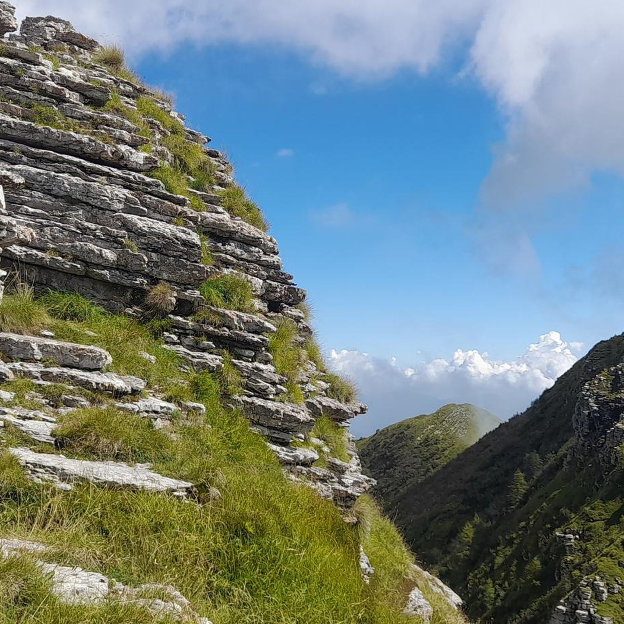
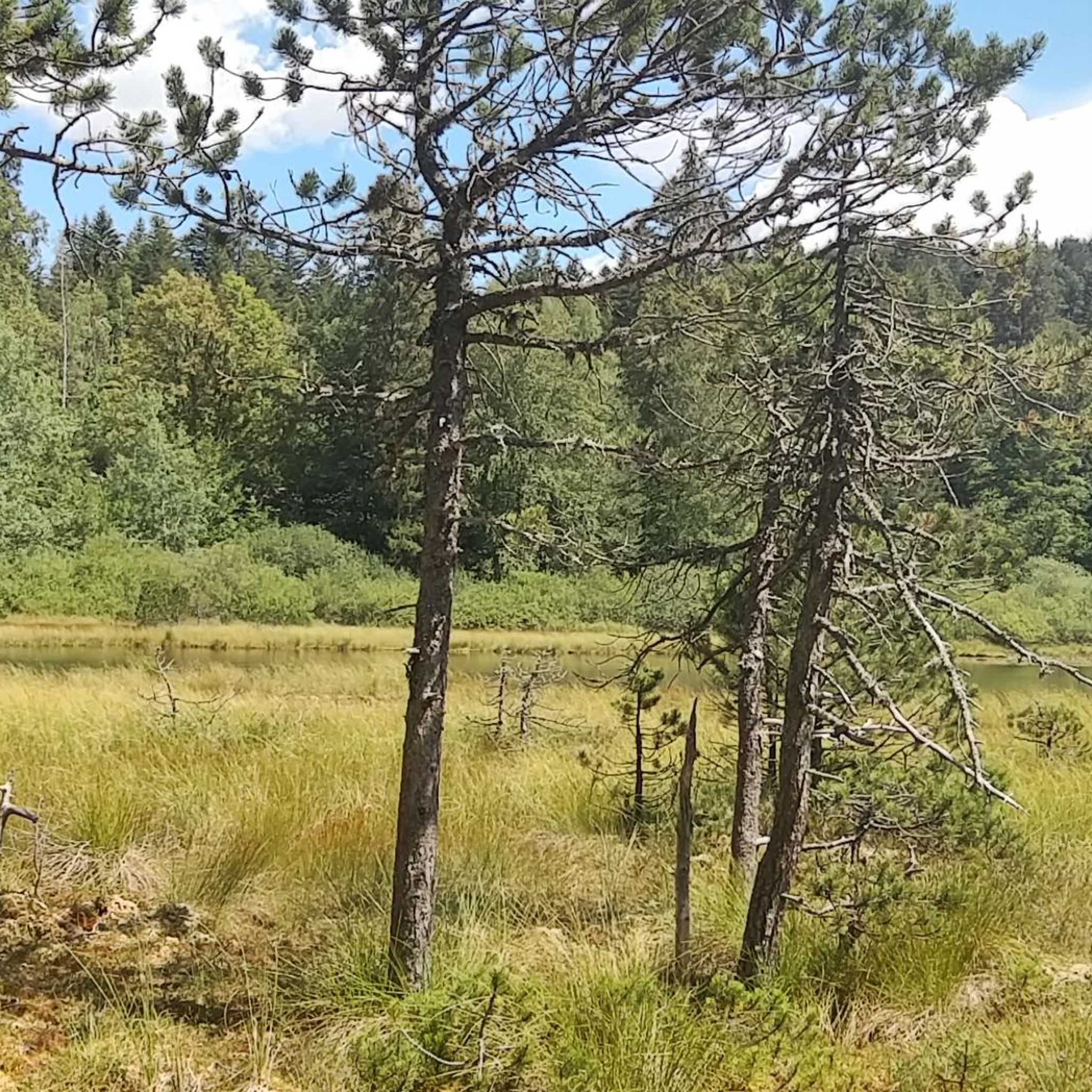
Tips from the Community


Great castle complex, beautiful park.
0
0

Please note: dogs are not allowed in the castle gardens, even on a leash. This means you'll have to find a different route around the castle with a dog!
0
0

A beautiful castle that houses the Museum of the Revolution. The park is large and very pretty. It's a paradise for children.
0
0
Beautiful castle that houses the Museum of the Revolution. The park is very beautiful, a paradise for children.
0
0

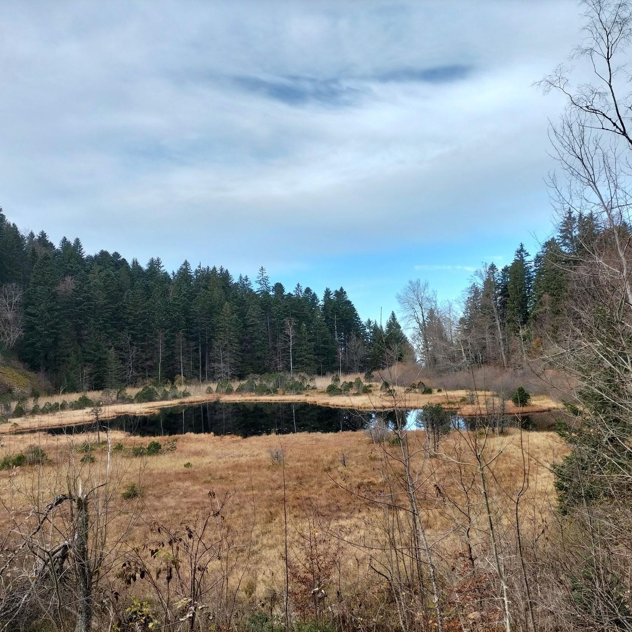
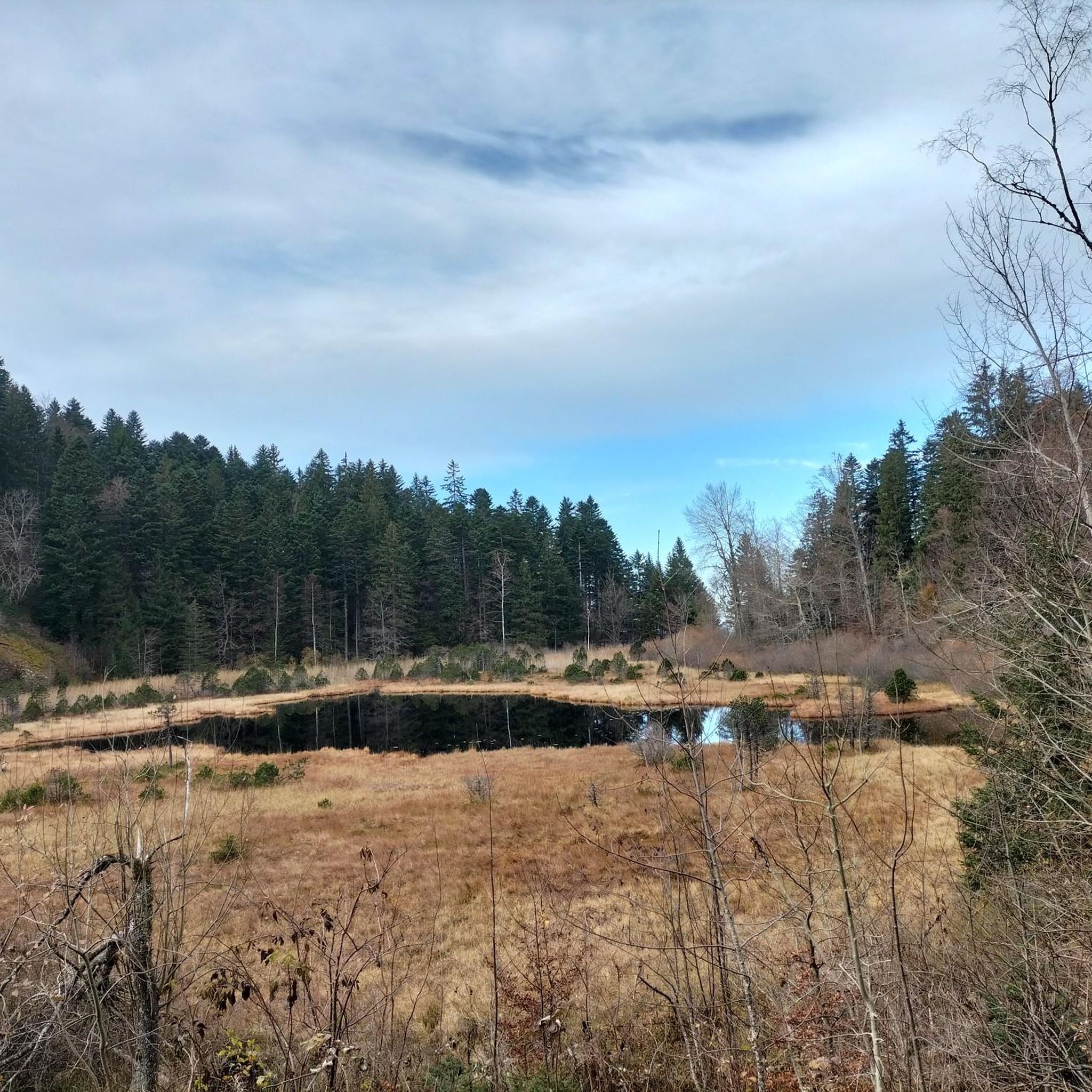
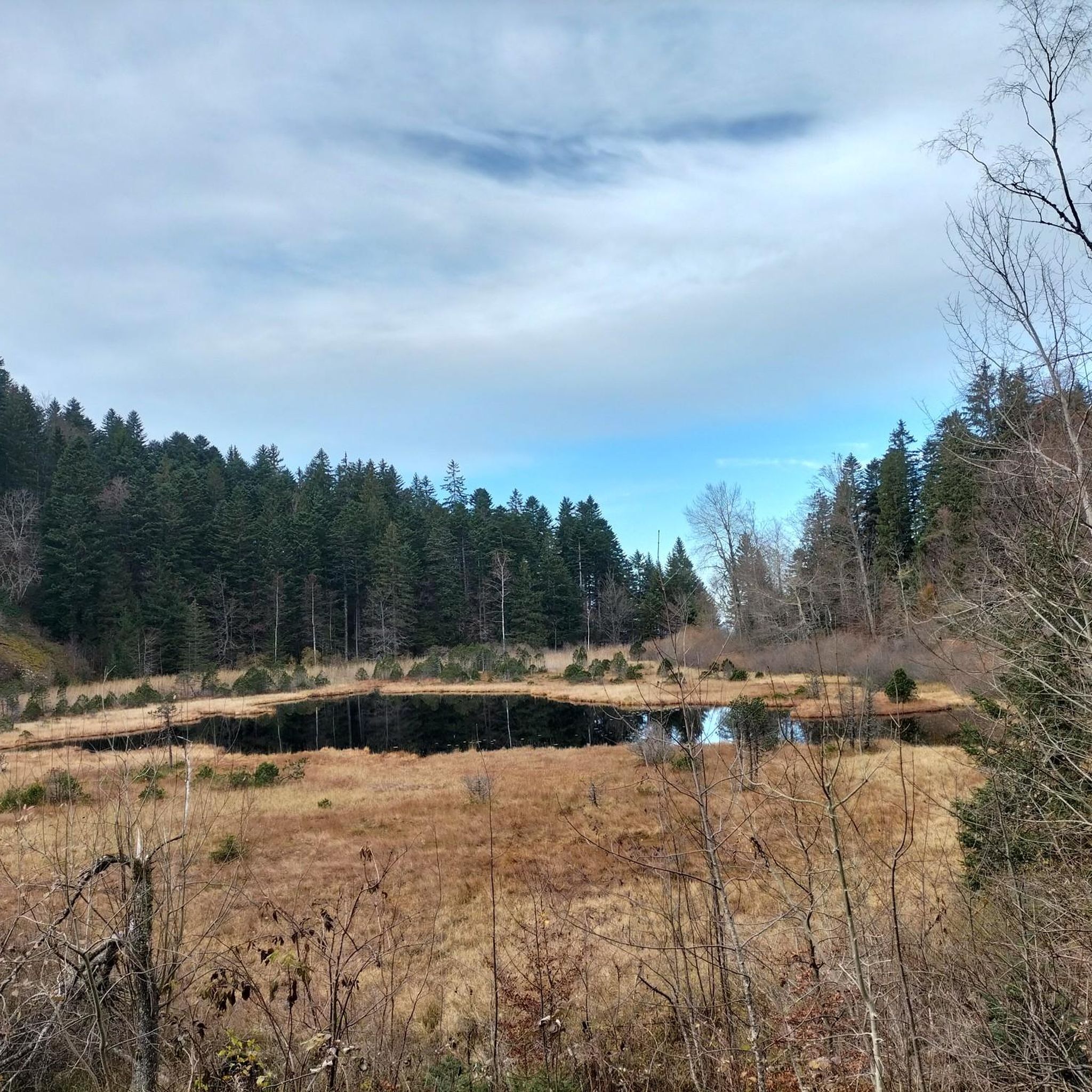
A shelter by the lake with plenty of room for several tents. Perfect overnight spot for bikepackers
0
0

This magnificent castle is located within a park of nearly 100 hectares. Built on the rock of Vizille by the Counts of Grésivaudan, the castle is said to have been the cradle of the Revolution.
0
0
Frequently Asked Questions
How many touring cycling routes are available around Vaulnaveys-Le-Haut?
There are over 10 touring cycling routes around Vaulnaveys-Le-Haut, offering a variety of experiences for different skill levels. These routes explore the diverse terrain of the glacial valley and the Belledonne mountain range.
What is the general difficulty level of touring cycling routes in this area?
The routes around Vaulnaveys-Le-Haut cater to various abilities. While there are 2 easy and 2 moderate routes, the majority (7 out of 11) are classified as difficult, featuring significant elevation gains and challenging ascents. For a moderate option, consider the Shelter by the lake – Cool corner loop from Vaulnaveys-le-Haut, which is about 19 km long.
What kind of landscapes and natural features can I expect to see while cycling?
You'll experience diverse landscapes, from verdant glacial valleys to mountainous ascents within the Belledonne Massif. Routes often pass through extensive forests, offering shade and scenic views. As you gain altitude, you can discover meadows like Plan Rinjat, and many routes provide panoramic vistas of the Chartreuse, Vercors, and Belledonne massifs. The Cool corner – Uriage-les-Bains loop from Vaulnaveys-le-Haut offers steady climbs and scenic views of the surrounding massifs.
Are there any circular touring cycling routes in Vaulnaveys-Le-Haut?
Yes, many of the touring cycling routes around Vaulnaveys-Le-Haut are designed as loops, allowing you to start and finish in the same location. Examples include the challenging The Japin Wall – Col de la Croix de Pinet loop from Vaulnaveys-le-Haut and the shorter Col de la Croix de Pinet loop from Vaulnaveys-le-Haut.
What are some interesting landmarks or attractions to see along the cycling routes?
Beyond the natural beauty, you can explore several points of interest. The Shelter by the lake – Cool corner loop from Vaulnaveys-le-Haut leads past the Lac du Luitel region, which is part of the Lac du Luitel National Nature Reserve. Just 5 km from Vaulnaveys-Le-Haut, you can visit the historic Château de Vizille with its beautiful park. Other notable features include the challenging Col de la Morte and various picturesque lakes like Lake Achard and Lake Crozet.
What is the typical length and duration of touring cycling routes here?
Route lengths vary significantly. You'll find shorter routes around 19 km, such as the Shelter by the lake – Cool corner loop from Vaulnaveys-le-Haut, which takes about 1 hour 22 minutes. Longer, more challenging routes can extend to nearly 40 km, like the Cool corner – Uriage-les-Bains loop from Vaulnaveys-le-Haut, requiring over 3 hours to complete.
What do other touring cyclists say about the routes in Vaulnaveys-Le-Haut?
The touring cycling routes in Vaulnaveys-Le-Haut are highly regarded by the komoot community, with an average rating of 4.4 stars from over 800 reviews. Cyclists often praise the varied terrain, stunning mountain views, and the extensive network of trails that cater to different abilities.
Are there any easy or beginner-friendly touring cycling routes?
Yes, while many routes are challenging, there are 2 routes classified as easy. These typically feature less elevation gain and shorter distances, making them suitable for beginners or those looking for a more relaxed ride. You can find these options within the full list of routes.
When is the best time of year to go touring cycling in Vaulnaveys-Le-Haut?
The region's diverse terrain, from valleys to mountainous ascents, means cycling is enjoyable across multiple seasons. Spring and autumn offer pleasant temperatures and beautiful scenery, with autumn providing vibrant fall colors in the extensive forests. Summer is also suitable, especially for higher altitude routes, though some climbs can be demanding in direct sun.
Is public transport available to access the cycling routes, or is parking necessary?
Vaulnaveys-Le-Haut is approximately 10 km from Grenoble, which is well-connected by public transport. While specific public transport links directly to trailheads might vary, driving and parking in or near Vaulnaveys-Le-Haut is a common way to access the routes. Many routes are loops starting from the village, making parking convenient.
Are there any routes that offer particularly good viewpoints?
Absolutely. Given its location at the foot of the Belledonne mountain range and within a glacial valley, many routes provide excellent panoramic views. The The Japin Wall – Col de la Croix de Pinet loop from Vaulnaveys-le-Haut is known for its panoramic vistas. Additionally, the descent from the Lac du Luitel area offers superb views of the Vercors, Chartreuse, and Grenoble.
Most popular routes around Vaulnaveys-Le-Haut
Most popular attractions around Vaulnaveys-Le-Haut

Get inspired with the komoot mobile app


Explore more
Browse the best Cycling routes in other regions.
