The best mountain hikes around Jarrie
4.5
(16)
110
hikers
6
hikes
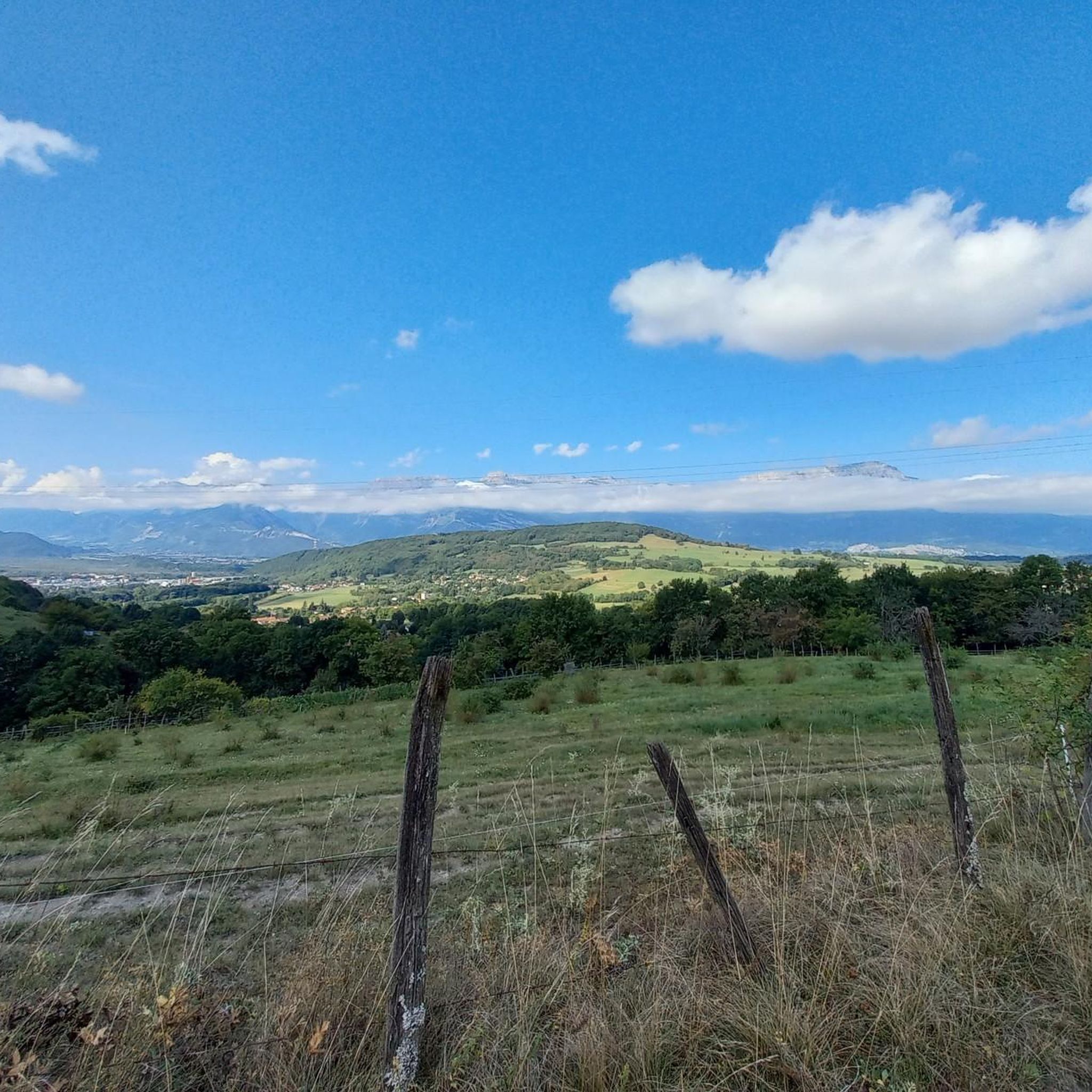
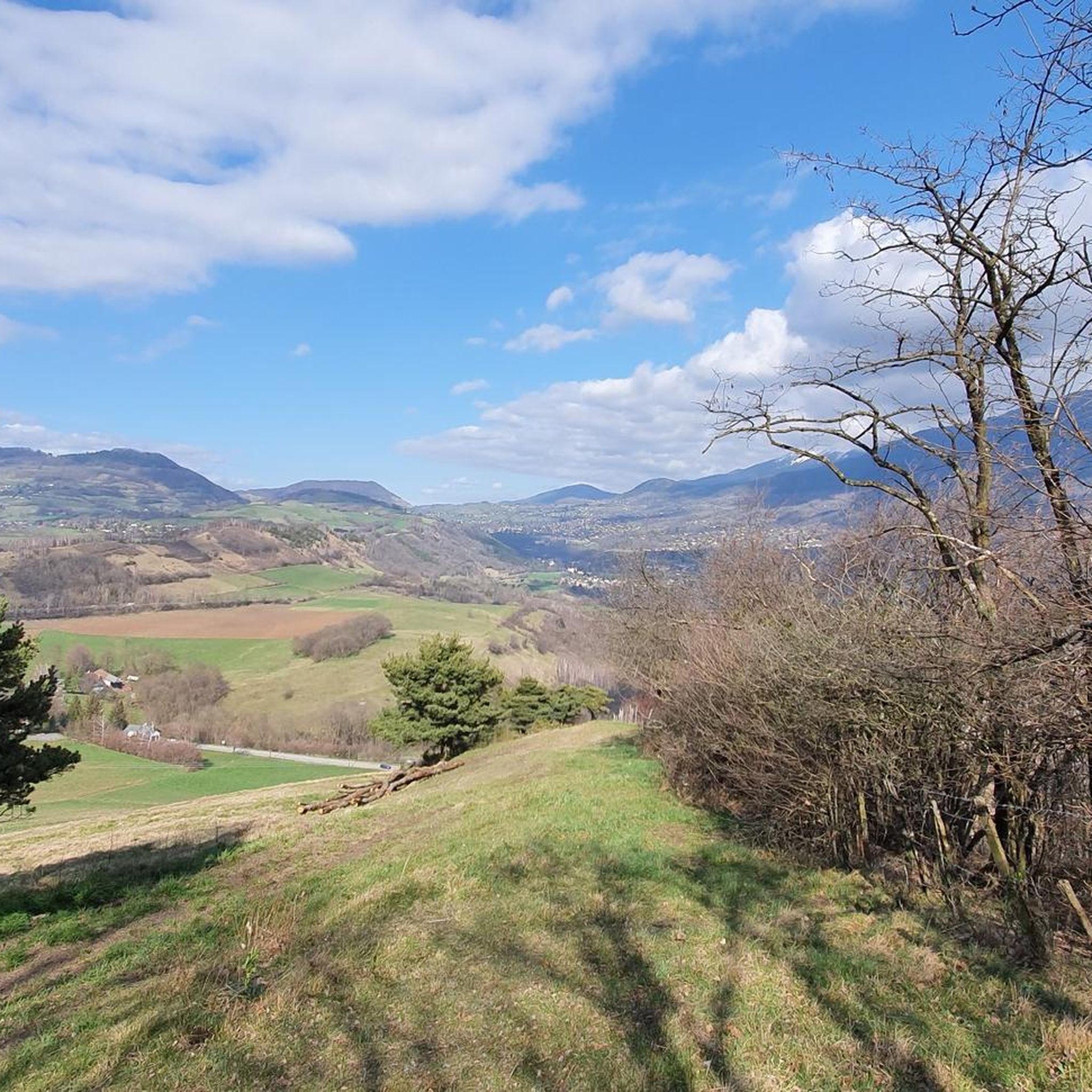
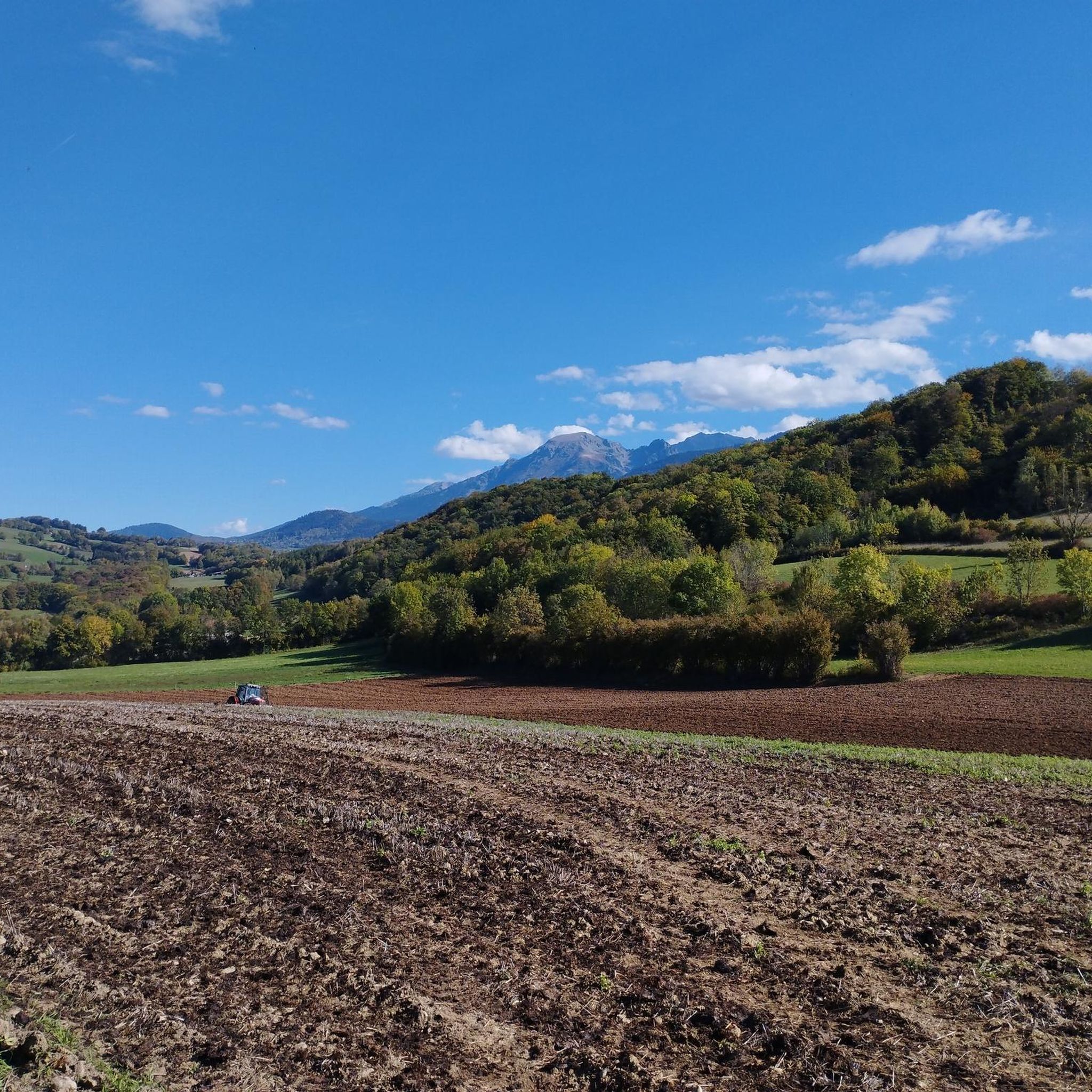
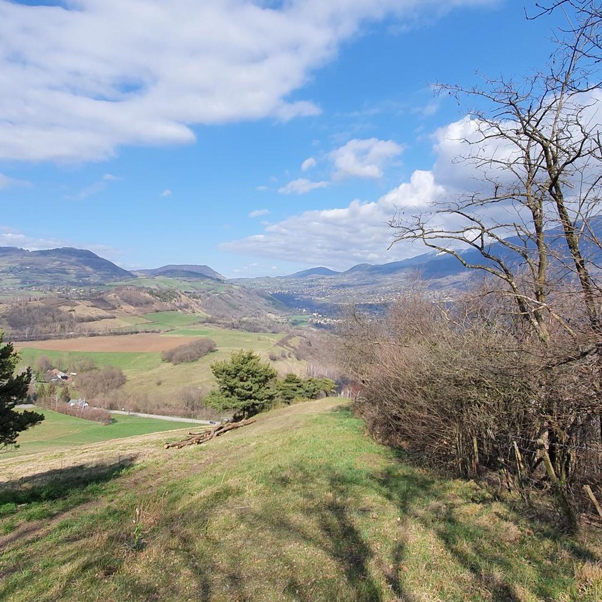
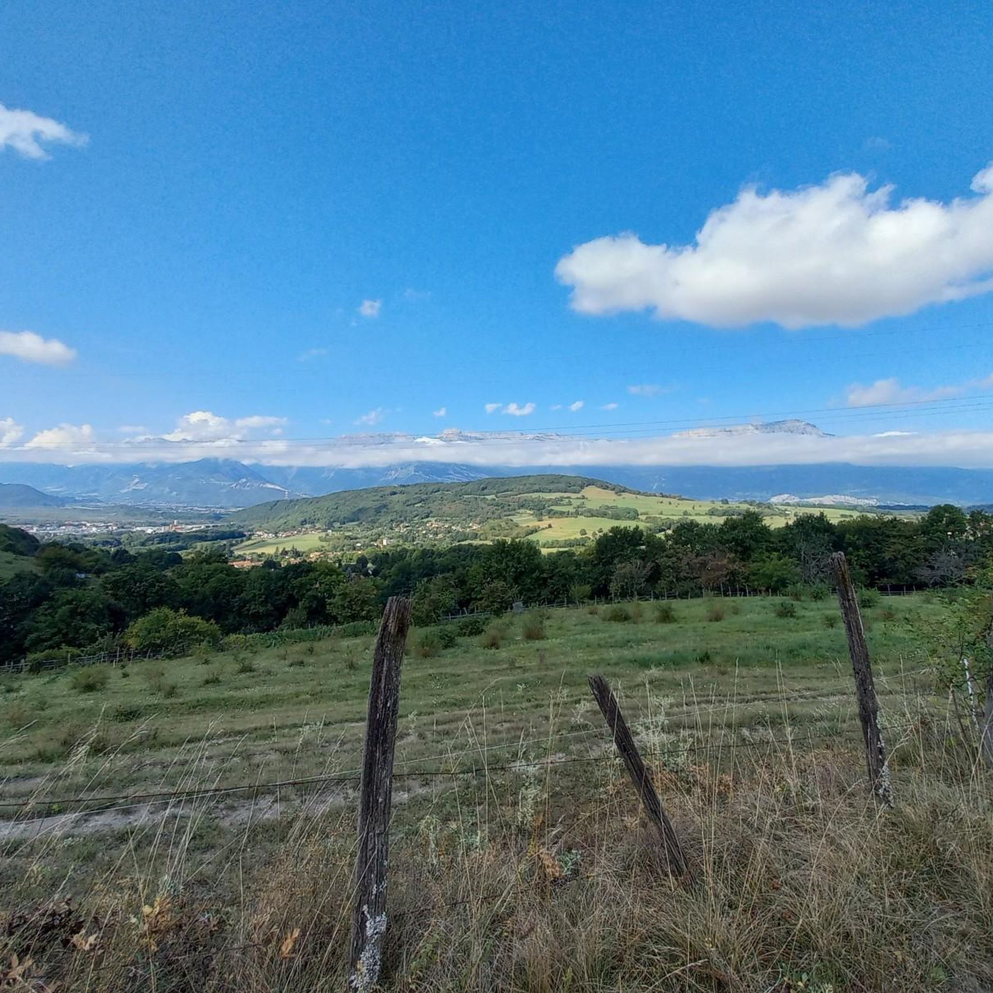
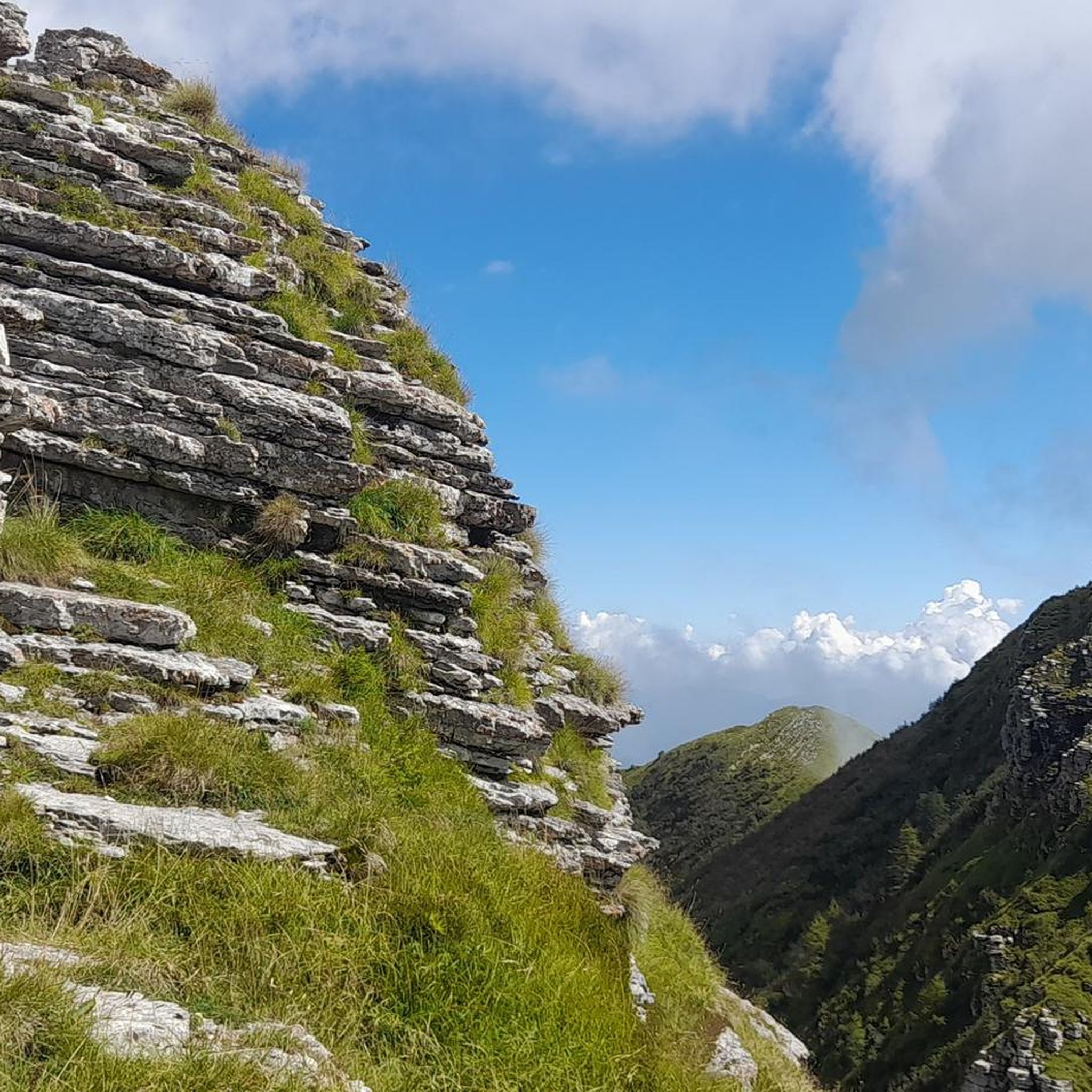
Mountaineering routes around Jarrie are situated in the mountainous region surrounding Grenoble, offering diverse terrain for challenging ascents. The area is characterized by significant elevation changes, with routes traversing through forested slopes, rocky ridges, and alpine environments. These routes provide opportunities to explore the foothills of the French Alps, featuring varied landscapes from dense woodlands to open mountain vistas. The region's geography supports demanding mountaineering experiences, often involving substantial elevation gain.
Best mountaineering routes around Jarrie
- The most popular mountaineering…
Last updated: October 4, 2026
4.0
(2)
18
hikers
12.5km
07:01
1,020m
1,020m
Hard mountaineering route. Very good fitness required. Sure-footedness, sturdy shoes and alpine experience required.
5.0
(1)
10
hikers
11.0km
04:06
490m
490m
Hard mountaineering route. Good fitness required. Sure-footedness, sturdy shoes and alpine experience required.

4.7
(3)
9
hikers
12.1km
05:21
800m
800m
Hard mountaineering route. Very good fitness required. Sure-footedness, sturdy shoes and alpine experience required.
8
hikers
15.9km
06:06
870m
870m
Hard mountaineering route. Very good fitness required. Sure-footedness, sturdy shoes and alpine experience required.
5.0
(1)
4
hikers
13.2km
05:12
640m
640m
Hard mountaineering route. Very good fitness required. Sure-footedness, sturdy shoes and alpine experience required.
Our route recommendations are based on thousands of hikes, rides, and runs completed by other people on komoot.
Start today with a free account
Your next adventure awaits.
Tips from the Community

A bit of gas and a beautiful view of the city
0
0

This spot offers a wider view of the Chartreuse mountains. Although still accessible, the trails begin to resemble those found in the Chartreuse mountains once you pass the Bastille.
0
0
The appeal of climbing Rachais lies in these ridges. They offer views of the Chartreuse mountains and invite you to venture further into the massif.
0
0

Beautiful view of the city, both day and night. Drinking water available.
1
0

Frequently Asked Questions
What is the general difficulty level of mountaineering routes around Jarrie?
The mountaineering routes in the region surrounding Jarrie, which is part of the French Alps near Grenoble, are primarily designed for experienced mountaineers. All 7 routes listed in this guide are rated as difficult, featuring significant elevation changes and challenging terrain.
Are there any circular mountaineering routes available?
Yes, many of the mountaineering routes around Jarrie are circular. For example, you can explore the Le Néron loop from Saint-Martin-le-Vinoux, which offers panoramic views, or the Chamrousse – Lake Pourettes loop from Chamrousse, known for its alpine scenery.
What kind of natural landmarks can I expect to see along these routes?
The mountainous region around Jarrie offers several notable natural landmarks. You might encounter impressive summits like Saint-Michel Peak and The Moucherotte Summit. There are also mountain passes such as Arc Pass and Col de Chamrousse, and unique geological features like the Coup de Sabre Gorge.
Are there any routes that feature alpine lakes?
Yes, the region includes routes that pass by picturesque alpine lakes. The Chamrousse – Lake Pourettes loop from Chamrousse is a difficult path that navigates through alpine scenery including a beautiful lake. Another option is the Lake Pourettes – Lake Achard loop from Chamrousse, which connects two stunning high-altitude lakes.
What do other mountaineers say about the routes in Jarrie?
The mountaineering routes around Jarrie are highly regarded by the komoot community, holding an average rating of 4.8 stars from over 10 reviews. Mountaineers often praise the challenging ascents, diverse landscapes ranging from dense woodlands to open mountain vistas, and the rewarding panoramic views of the surrounding valleys.
Is public transport available to access the mountaineering routes?
Access to the starting points of mountaineering routes in the mountainous region surrounding Grenoble often requires a combination of public transport and potentially a short taxi ride or carpooling, especially for trailheads located deeper in the mountains. For routes starting closer to Grenoble, such as the Mon Jalla loop from Grenoble, local bus services might be an option, but it's advisable to check local transport schedules in advance.
Are there suitable routes for families or beginners?
The mountaineering routes around Jarrie are generally challenging and are primarily suited for experienced mountaineers due to significant elevation gains and difficult terrain. There are no routes listed in this guide that are classified as easy or moderate, making them less ideal for families with young children or absolute beginners in mountaineering.
What is the best time of year for mountaineering in this area?
The best time for mountaineering in the French Alps region around Jarrie is typically during the late spring, summer, and early autumn months (June to September). During this period, snow has usually melted from higher elevations, and weather conditions are generally more stable, offering clearer paths and better visibility. Winter mountaineering is possible but requires specialized equipment and expertise due to snow, ice, and avalanche risks.
Can I bring my dog on these mountaineering routes?
While many trails in the French Alps are dog-friendly, it's essential to check specific regulations for each route and protected areas. Some areas may require dogs to be on a leash, and certain nature reserves might have restrictions. Given the difficult nature of these mountaineering routes, ensure your dog is fit enough for strenuous ascents and descents, and always carry enough water for both of you.
Are there any hidden gems or less-trafficked routes to explore?
While all routes in this guide are well-regarded, for a slightly less-trafficked experience compared to the most popular ones, consider the Moucherotte Shelter loop from Saint-Nizier-du-Moucherotte. This route offers substantial elevation gain and leads to a shelter, providing a rewarding experience away from the busiest trails.
Where can I find parking for these mountaineering routes?
Parking availability varies by trailhead. For routes starting from towns or villages like Saint-Martin-le-Vinoux, Chamrousse, or Saint-Nizier-du-Moucherotte, you can often find designated parking areas. It's recommended to research specific parking options for your chosen starting point in advance, especially during peak season, as spaces can fill up quickly.
Are there any cafes or places to eat near the trailheads?
For routes starting from or passing through villages and ski resorts such as Chamrousse or Saint-Nizier-du-Moucherotte, you will likely find cafes, restaurants, or small shops where you can purchase refreshments or a meal. For routes in more remote areas, it's best to pack all necessary food and drinks, as amenities will be scarce.
Most popular attractions around Jarrie

Get inspired with the komoot mobile app


Explore more
Browse the best Mountain Hikes & Routes in other regions.
