Top 8 Mountain Passes around Perrignier
Mountain passes around Perrignier, located in the Haute-Savoie department of France, offer diverse experiences for cyclists and hikers. The region is situated near the Chablais Massif, providing access to scenic routes and challenging climbs. This area features a landscape characterized by valleys, mountains, and views of Lake Geneva. It serves as a gateway to natural beauty and outdoor activities.
Best mountain passes around Perrignier
- The most popular mountain passes is Col de Cou, a mountain pass that connects the…
Last updated: June 26, 2026
Jambaz Pass
Highlight • Mountain Pass
Beautiful landscape.
More information: quaeldich.de/paesse/col-de-jambaz
Translated by Google •
Tip by

Col de Cou
Highlight • Mountain Pass
Translated by Google •
Tip by

Sign up now to discover places like this
Get recommendations on the best single tracks, peaks, & plenty of other exciting outdoor places.
Sign up for free
Col de Saxel
Highlight (Segment) • Mountain Pass
Tip by

Col du Feu
Highlight • Mountain Pass
Translated by Google •
Tip by

Terramont Pass
Highlight • Mountain Pass
It is located at the entrance to the Vallée Verte at an altitude of 1,094 …
Translated by Google •
Tip by

Sign up for free to discover even more mountain passes around Perrignier.
Sign up for free
Already have an account?
Start today with a free account
Your next adventure awaits.
Login or Signup
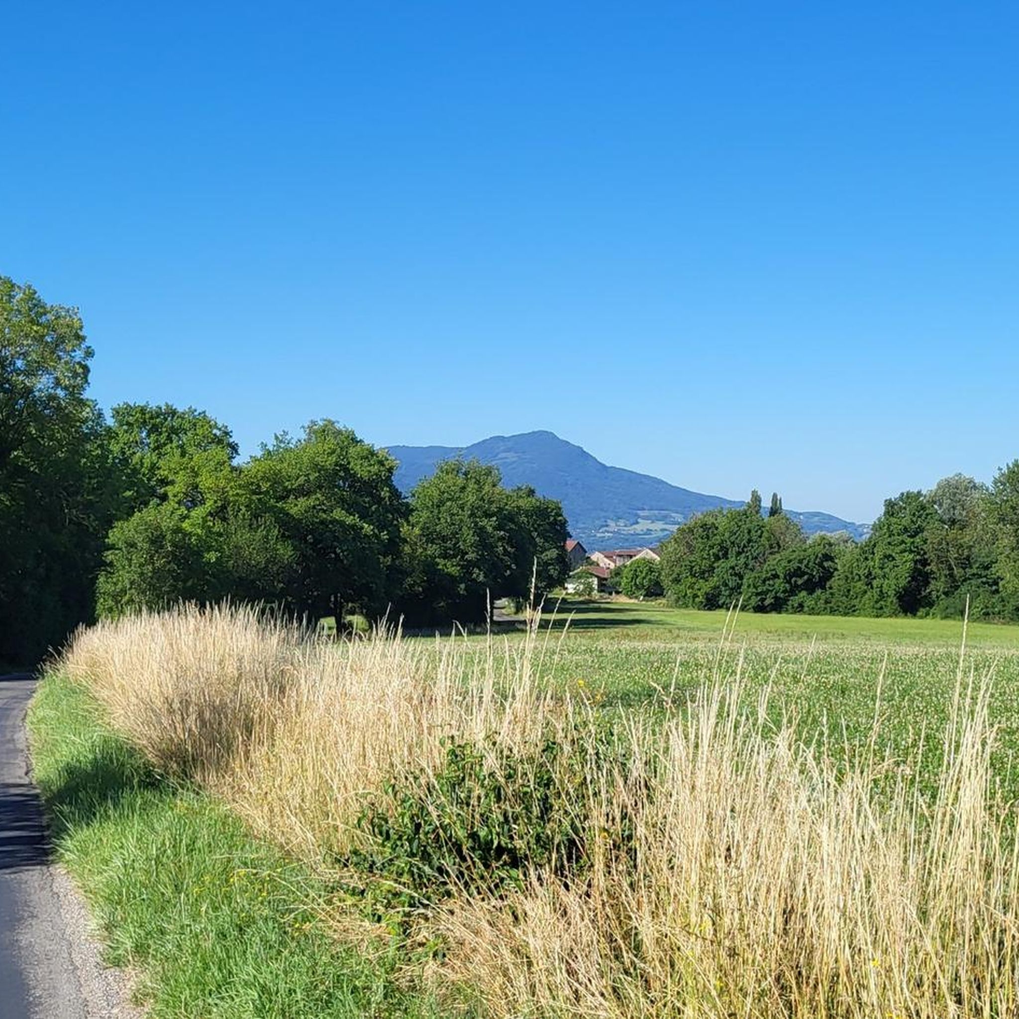
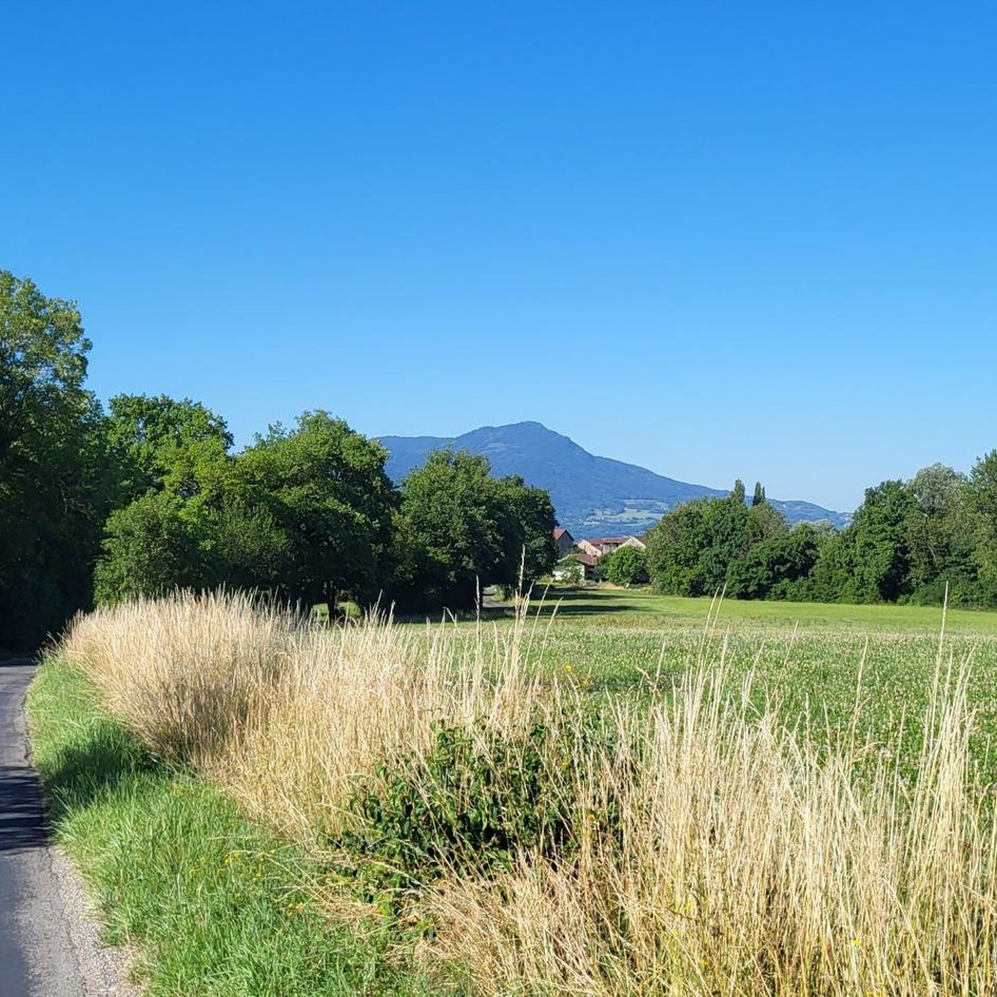
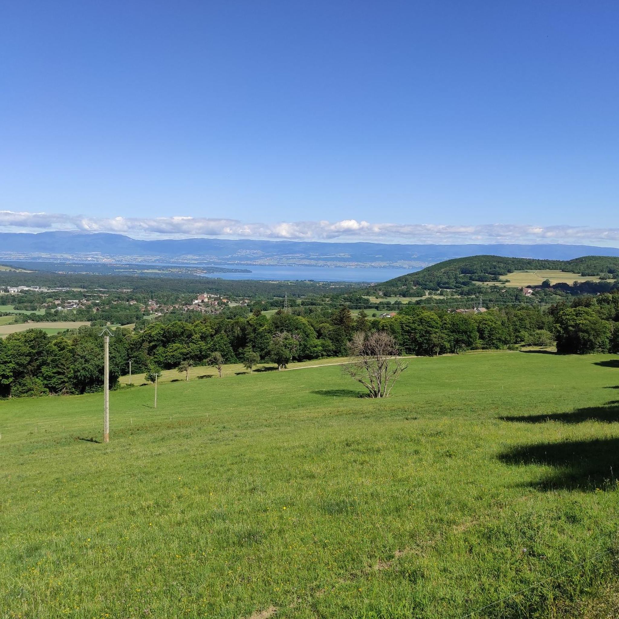
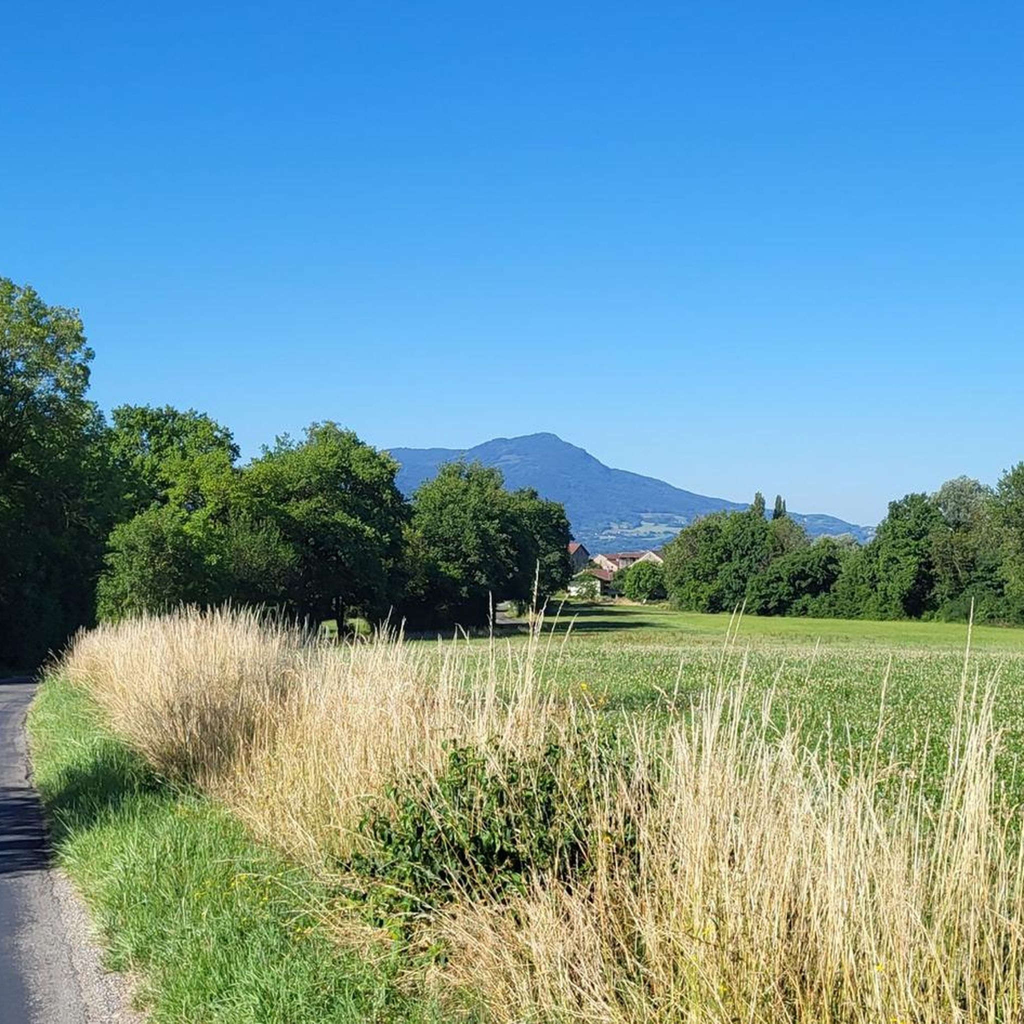

Tips from the Community


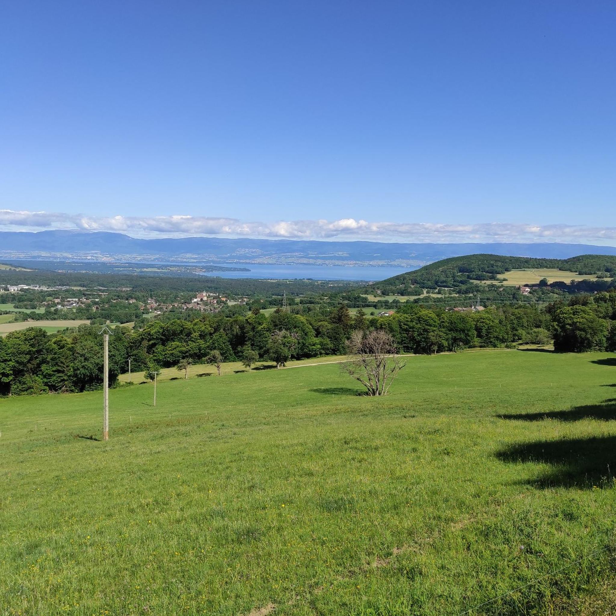
After the effort, your reward at the top of the Col du Feu is a magnificent view of the peaks of the Chablais massif and Lake Geneva.
1
0

The Col de Cou, at an altitude of 1,117 metres, takes you from the Vallée Verte to the Côte-en-Chablais region. Several roads lead there, which allows you to train by varying the routes and difficulties. The hardest climb is the one on the western slope from Fessy, with seven kilometres at an average of 7.5%.
1
0

Nice climb just too steep, about 5%, and not too busy.
0
0

Here you are at 1,117 meters above sea level. After an ascent of six kilometers coming from Orcier (north slope) and three kilometers from Lullin (south slope), you deserve a little break. The bar-restaurant located just a stone's throw away offers simple and rich cuisine. Enough to regain some strength for the rest of your day.
1
0

A pretty little pass, quite rolling (5%) on a road away from the heavy traffic of the departmental road at its foot.
0
0

Between the Pointe de Targaillan to the south and the Aiguille to the north, the Col de Cou is the crossing point between the Vallée Verte to the west and the Côte-en-Chablais region to the east, from where it is accessible from Draillant and Fessy. On the edge of the communes of Cervens and Habère-Poche, it is crossed at an altitude of 1,117 m[1] by the D12 road linking Thonon-les-Bains to Bonneville. This has a passage on its northern slope at 6.5% and on its southern slope at 6%. The climb from Fessy, much steeper, has an average gradient of 7.5% with a passage at 9% over 400 meters Source Wikipedia https://fr.m.wikipedia.org/wiki/Col_de_Cou_(vall%C3%A9e_Verte)
0
0
Frequently Asked Questions
What are some of the most scenic mountain passes around Perrignier?
The region around Perrignier offers several scenic mountain passes. The Col du Feu provides magnificent views of the Chablais massif peaks and Lake Geneva. The Col de Saxel offers picturesque routes through rural landscapes with views of the Bas-Chablais, Lake Geneva, and glimpses of Mont Blanc from higher points. For hikers, the Col de Cou offers superb panoramic views of the Alps, including the Dents Blanches and Dents du Midi mountain ranges.
Which mountain passes are best for cycling near Perrignier?
Cyclists have several excellent options. The Col du Feu is particularly popular, having been featured in the Tour de France, offering challenging climbs with rewarding views. The Col de Saxel is known for its picturesque and relatively gentle climbs, ideal for intermediate cyclists with smooth asphalt. The Jambaz Pass also offers quiet roads and scenic landscapes, and has been part of the Tour de France.
Are there challenging cycling routes over the mountain passes?
Yes, for experienced cyclists seeking a challenge, the Col du Feu features ascents like the 6.1 km climb from Orcier with an average gradient of 7.5%, or a steeper 3 km route from Lullin averaging 9.5%. The Col des Arces also presents demanding ascents, with a route from Lullin being 3.9 km long with an average gradient of 8% and sections reaching 10.5%.
Which mountain passes are suitable for hiking near Perrignier?
The Col de Cou, situated on the border between Switzerland and France, is primarily a hiking trail offering breathtaking panoramic views of the Alps. The Mount Forchat – Encrenaz Pass Loop is another excellent option for hikers, providing extensive views of the Chablais, Lake Geneva, and the Mont-Blanc Massif. You can find more hiking routes in the area by exploring the mountain passes guide.
Are there any family-friendly mountain passes or walks around Perrignier?
While some passes offer challenging terrain, the Col de Saxel, with its relatively gentle climbs and smooth roads, can be a good option for families or those new to mountain cycling. For hiking, the Mount Forchat – Encrenaz Pass Loop can be adapted for varying fitness levels, offering rewarding views without extreme difficulty on all sections.
What historical or cultural landmarks can be found near these mountain passes?
Near the Col des Arces, you can find a notable chapel in the hamlet of Les Arces, which is the site of an annual pilgrimage. The Mount Forchat pilgrimage route also features a small wooden chapel dedicated to Saint Francis de Sales, and a statue at the summit of Mont Forchat erected in 1898, adding a touch of historical and religious significance to the area.
What is the best time of year to visit the mountain passes around Perrignier?
The best time to visit for cycling and hiking is generally from late spring to early autumn (May to October) when the weather is milder and the passes are clear of snow. During autumn migration, the Col de Cou is an excellent spot for observing birds of prey. Some passes, like the Col du Feu, also host snow stadiums, suggesting winter activities are possible in certain areas.
Are there mountain biking trails near the passes around Perrignier?
Yes, there are several mountain biking opportunities. For example, you can explore routes like the 'Col de Cou – Saxel pass loop from Cervens' or the 'Col des Moises – Col de Cou loop from Perrignier'. For more details and a wider selection of trails, check out the MTB Trails around Perrignier guide.
What do visitors appreciate most about the mountain passes near Perrignier?
Visitors frequently highlight the stunning natural beauty, the quiet roads, and the rewarding views. Many enjoy the diverse cycling challenges, from gentle ascents on the Col de Saxel to the more strenuous climbs of the Col du Feu. The panoramic vistas of Lake Geneva and the Alps are consistently praised, along with the peaceful atmosphere away from heavy traffic.
Can I find places to eat or stay near the mountain passes?
While specific amenities vary by pass, the Col du Feu has a bar-restaurant located just a stone's throw away from the summit, offering simple and rich cuisine to help you regain strength. For broader options, nearby towns and villages like Perrignier itself or those in the Vallée Verte offer cafes, pubs, and accommodation.
What is the Terramont Pass known for?
The Terramont Pass is located at an altitude of 1,094 meters, situated between the Hirmentaz mountain and the foothills of La Turche. It's known as a rolling pass on both sides, offering a pleasant cycling experience at the entrance to the Vallée Verte near the hamlet of Terramont.
Most popular routes around Perrignier
Most popular attractions around Perrignier

Get inspired with the komoot mobile app


Explore more
See even more epic mountain passes by checking out these guides around Perrignier:
