The best road cycling routes around Louvigny
4.9
(9)
228
riders
55
rides
Road cycling routes around Louvigny, located in the Calvados department of Normandy, traverse a landscape characterized by meadows, rolling farmlands, and quiet lanes. The commune is shaped by the presence of the Orne and Odon rivers, with an embankment protecting the village from river overflows. Cyclists can explore routes that incorporate historical sites, such as the Eglise Saint-Vigor and Château de Louvigny, adding cultural interest to the rides. The area also features dedicated paths like the "Greenway along the Petit…
Last updated: July 2, 2026
5.0
(1)
18
riders
120km
05:48
1,610m
1,610m
Hard road ride. Very good fitness required. Mostly well-paved surfaces and easy to ride.
16
riders
6.73km
00:17
40m
40m
Easy road ride. Great for any fitness level. Mostly well-paved surfaces and easy to ride.

Sign up for free
10
riders
Moderate road ride. Good fitness required. Mostly well-paved surfaces and easy to ride.
16
riders
125km
06:27
1,710m
1,710m
Hard road ride. Very good fitness required. Some segments of this route may be unpaved and difficult to ride.
7
riders
94.2km
04:35
1,240m
1,240m
Hard road ride. Very good fitness required. Mostly well-paved surfaces and easy to ride.
Get access to more routes and recommendations from other explorers.
Sign up for free
Already have an account?
Our route recommendations are based on thousands of hikes, rides, and runs completed by other people on komoot.
Start today with a free account
Your next adventure awaits.
Login or Signup



Tips from the Community

Riding up there by bike was quite strenuous, but the view from the top was worth the effort. It was well worth it.
0
0

very varied and pleasant hike
0
0

Far from the high Alpine passes, here is a small climb in the Sarthe countryside. On the program, 1.8 kilometers at an average of 4.5% coming from Montreuil-le-Chétif, or 2.1 kilometers at an average of 5.2% from Pezé-le-Robert.
3
0

Beautiful 360 degree view
1
0

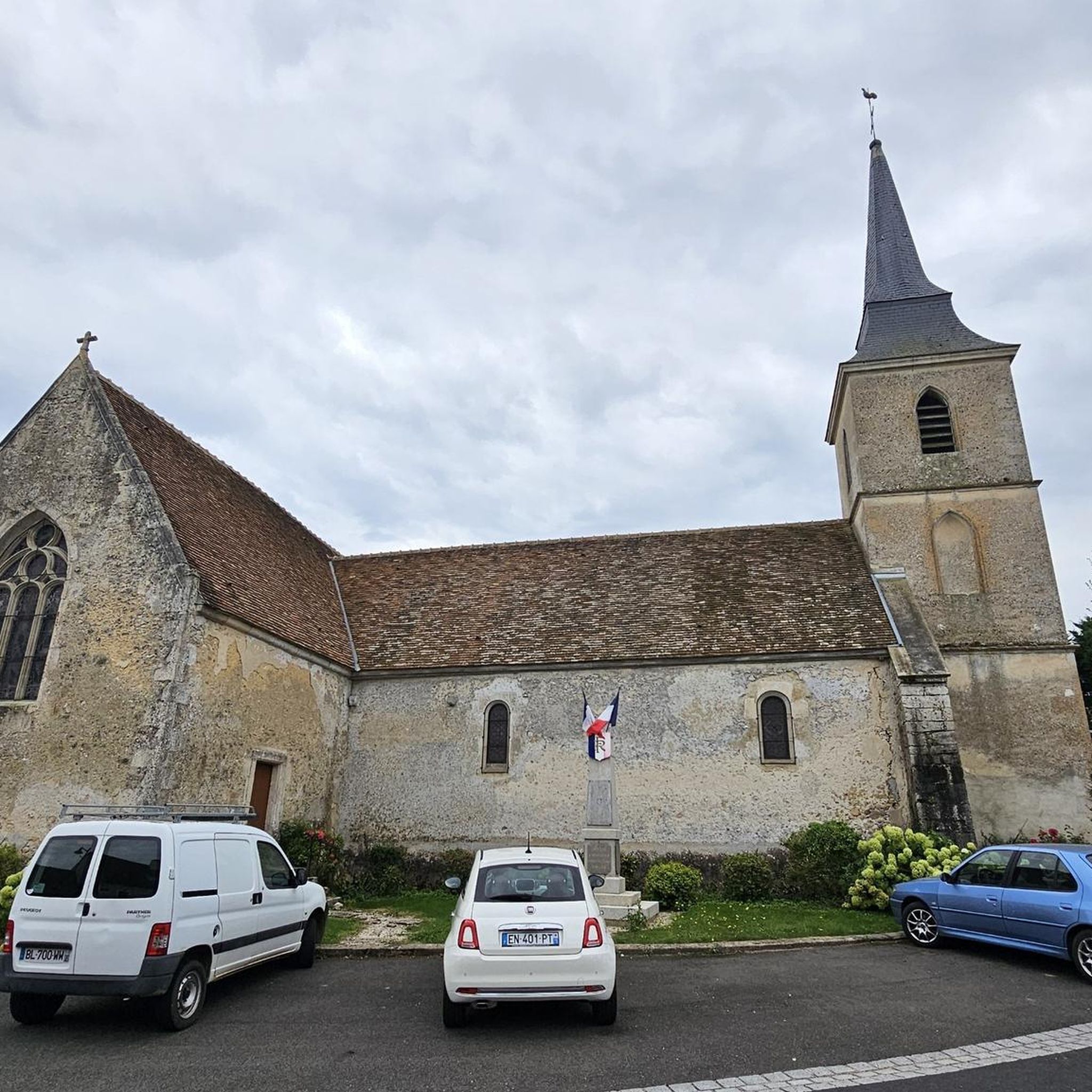
The Chapitrel is the name given to the entrance gate. The period door is in the Renaissance style. This construction had several functions: It was reserved for catechumens who were not allowed to enter the church and served as a warehouse for farmers who sold at the market on Sunday mornings. The saddleback tower dates from 1545. It is 28 m high. It is square and has four levels. Each floor is separated by an external Roussard belt called a "larmier" which overhangs quite widely, preventing water from running off. At the top of the roof are two granite crosses, each topped with a copper weather vane representing a crowned dragon's head.
0
0
Saint-Martin Chapel. It dates from the 12th or 13th century. It is made of granite, roussard sandstone and brick. This small chapel is lost in the middle of the fields. It is a simple rectangular nave which has a Romanesque window at its chevet.
0
0

Located in Mayenne, Mont des Avaloirs is the highest point of the Armorican massif. It is part of the Normandy-Maine Regional Natural Park and enjoys the status of a Global Geopark. The belvedere, built in 1994 and covered with a magnificent colorful fresco, painted in 2019 by the Franco-British artist Seb Toussaint. It offers a 360° view of all the surrounding forests and peaks.
0
0

Frequently Asked Questions
What kind of terrain can I expect on road cycling routes around Louvigny?
Road cycling routes around Louvigny traverse a varied landscape featuring quiet lanes, rolling farmlands, and picturesque meadows. The area is also shaped by the Orne and Odon rivers, with some paths bordering these waterways. You'll find a mix of flat sections and some significant elevation gains, especially on longer routes.
How many road cycling routes are available in the Louvigny area?
There are over 50 road cycling routes available around Louvigny, catering to various skill levels. This includes 20 easy routes, 31 moderate routes, and 8 difficult routes, ensuring options for everyone from beginners to experienced cyclists.
Are there any dedicated cycling paths or greenways near Louvigny?
Yes, a notable feature for cyclists is the "Greenway along the Petit Odon from Louvigny." This path is built on an old railway line and leads towards Fontaine Etoupefour, offering a pleasant, dedicated route. Additionally, the 14km Caen-to-the-Sea Canal at Blainville-sur-Orne, bordered by a paved cycle path, provides another attractive option in the broader region.
What historical sites or landmarks can I see while cycling near Louvigny?
Many routes incorporate historical sites, adding cultural interest to your ride. Louvigny itself features the 14th-century Eglise Saint-Vigor and the 18th-century Château de Louvigny. You might also encounter the 17th-century gate, all listed as Monument historique. For example, the route Castle of the Dukes of Alençon – Saint-Cénéri-le-Gérei loop from La Hutte - Coulombiers passes by significant historical points.
What are some natural features or scenic views to look out for on road cycling routes?
The region is characterized by its natural beauty, including meadows, some of which are frequently flooded, and the wood of the Bernières family castle park. The Orne and Odon rivers flow through the commune, offering scenic river-bordered paths. You can also find viewpoints like Perseigne Viewpoint on some routes, providing expansive vistas of the landscape.
Are there any challenging road cycling routes with significant elevation gain?
Yes, for experienced cyclists seeking a challenge, routes like Col de la Source – Saint-Cénéri-le-Gérei loop from La Hutte - Coulombiers offer significant elevation gain, reaching over 1600 meters. These routes traverse the region's rolling farmlands and provide a demanding yet rewarding experience.
What do other road cyclists say about the routes in Louvigny?
The road cycling routes in Louvigny are highly rated by the komoot community, with an average score of 4.9 stars from over 10 reviews. Cyclists often praise the quiet lanes, varied terrain, and the blend of natural beauty with historical interest that the region offers.
Are there any easy or beginner-friendly road cycling options in Louvigny?
Yes, Louvigny offers several easy routes suitable for beginners or those looking for a more relaxed ride. For instance, the Les Halles de René loop from René is a shorter, easy route with minimal elevation gain, perfect for a gentle introduction to the area's cycling.
Can I find long-distance road cycling routes around Louvigny?
Absolutely. For cyclists looking for longer distances, routes such as Fresnay-sur-Sarthe Castle – Saint-Cénéri-le-Gérei loop from La Hutte - Coulombiers extend for nearly 127 kilometers, offering extensive rides through the region's diverse landscapes.
What is the best time of year for road cycling in Louvigny?
The region's climate generally makes spring through early autumn ideal for road cycling. During these seasons, you can expect pleasant temperatures and lush landscapes, perfect for enjoying the quiet lanes and scenic views. It's always a good idea to check the local weather forecast before heading out.
Are there options for circular road cycling routes in the area?
Yes, many of the road cycling routes around Louvigny are designed as loops, allowing you to start and finish at the same point. This makes planning your ride convenient. Examples include the Saint-Cénéri-le-Gérei – Saint-Léonard-des-Bois loop from La Hutte - Coulombiers, which offers a substantial circular journey.
Where can I find parking for road cycling routes in Louvigny?
While specific parking areas for each route may vary, Louvigny's proximity to Caen and its rural setting mean that parking is generally accessible. Look for public parking in the village center or near trailheads. For more detailed information on parking facilities, it's advisable to consult local tourism resources or specific route descriptions on komoot.
Most popular attractions around Louvigny

Get inspired with the komoot mobile app


Explore more
Browse the best Road cycling routes in other regions.
