The best walks and hikes around Boissy-Saint-Léger
4.6
(659)
4,666
hikers
18
hikes
Hiking around Boissy-Saint-Léger offers access to a network of trails within the Île-de-France region. The landscape is characterized by gentle terrain, often featuring woodlands, small brooks, and open fields. Many routes pass through local parks and near historical estates, providing varied scenery for hikers. The area generally presents low elevation changes, making it accessible for a range of abilities.
Best hiking trails around Boissy-Saint-Léger
- The most popular hiking route is Villiers Fountain Brook – Fort of Sucy-en-Brie loop from Sucy…
Last updated: July 5, 2026
36
hikers
4.24km
01:05
10m
10m
Easy hike. Great for any fitness level. Easily-accessible paths. Suitable for all skill levels.
4.5
(2)
20
hikers
13.2km
03:30
130m
130m
Moderate hike. Good fitness required. Easily-accessible paths. Suitable for all skill levels.

Sign up for free
34
hikers
4.52km
01:09
10m
10m
Easy hike. Great for any fitness level. Easily-accessible paths. Suitable for all skill levels.
16
hikers
14.0km
03:41
120m
120m
Moderate hike. Good fitness required. Easily-accessible paths. Suitable for all skill levels.
5.0
(1)
16
hikers
Moderate hike. Good fitness required. Easily-accessible paths. Suitable for all skill levels.
Get access to more routes and recommendations from other explorers.
Sign up for free
Already have an account?
Our route recommendations are based on thousands of hikes, rides, and runs completed by other people on komoot.
Start today with a free account
Your next adventure awaits.
Login or Signup
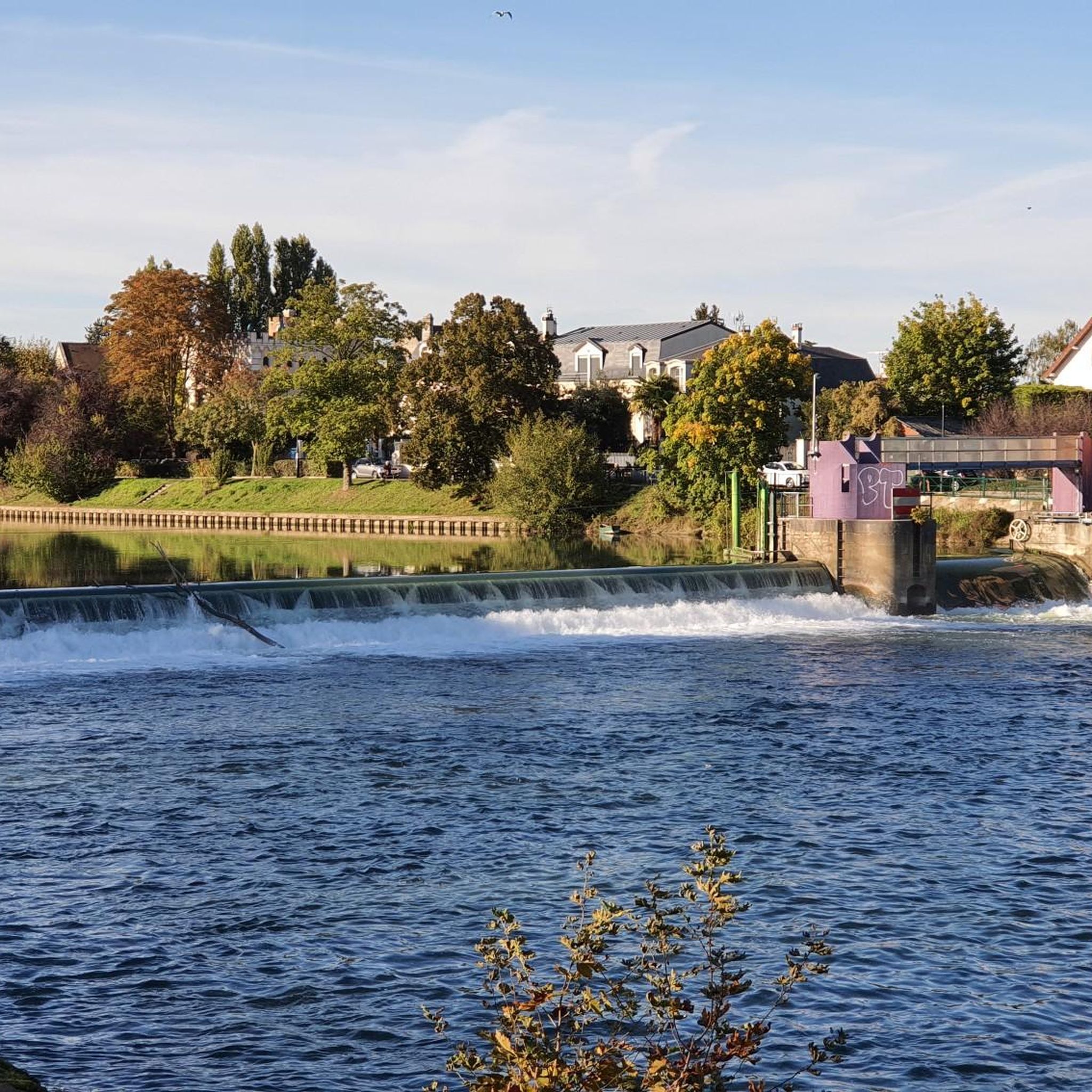
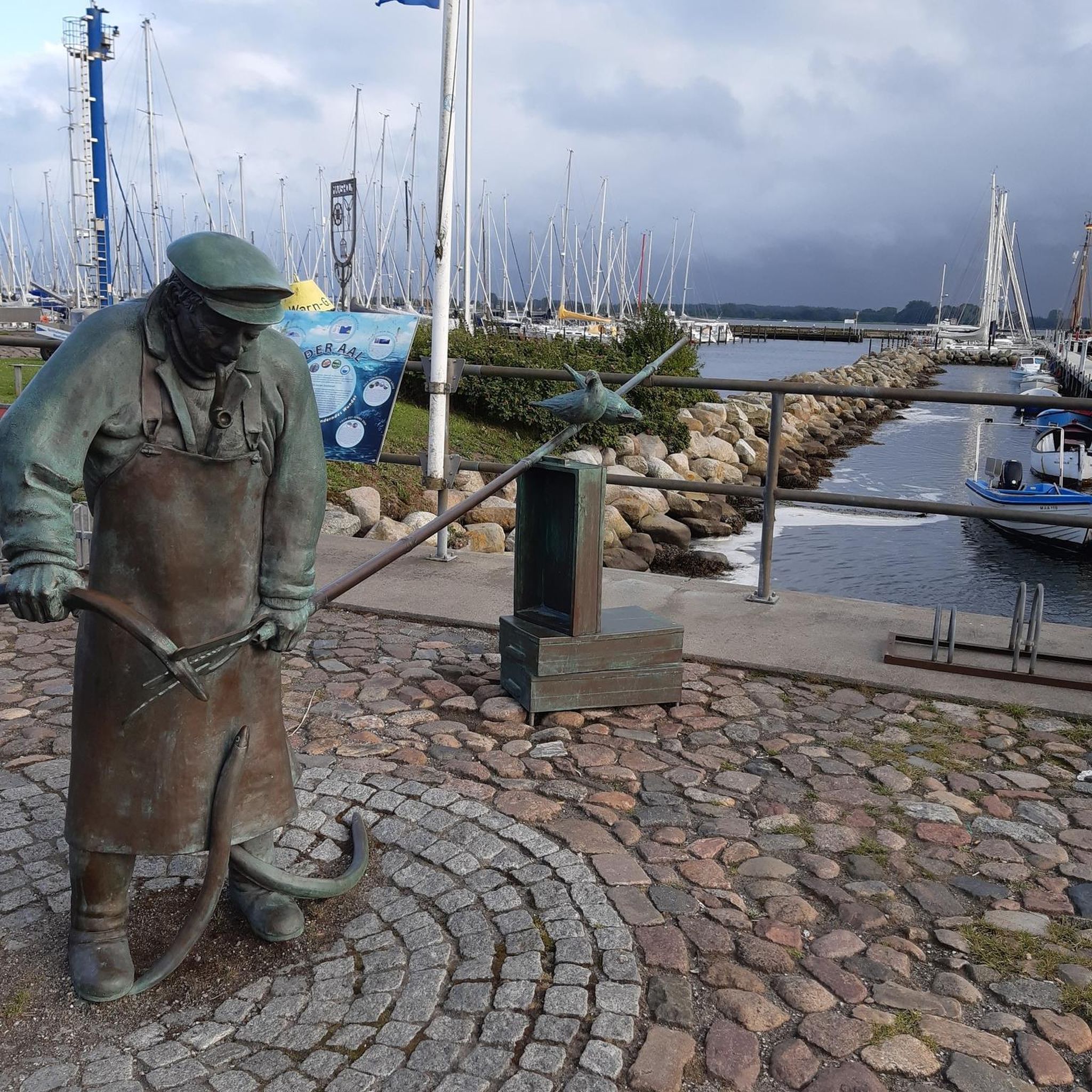
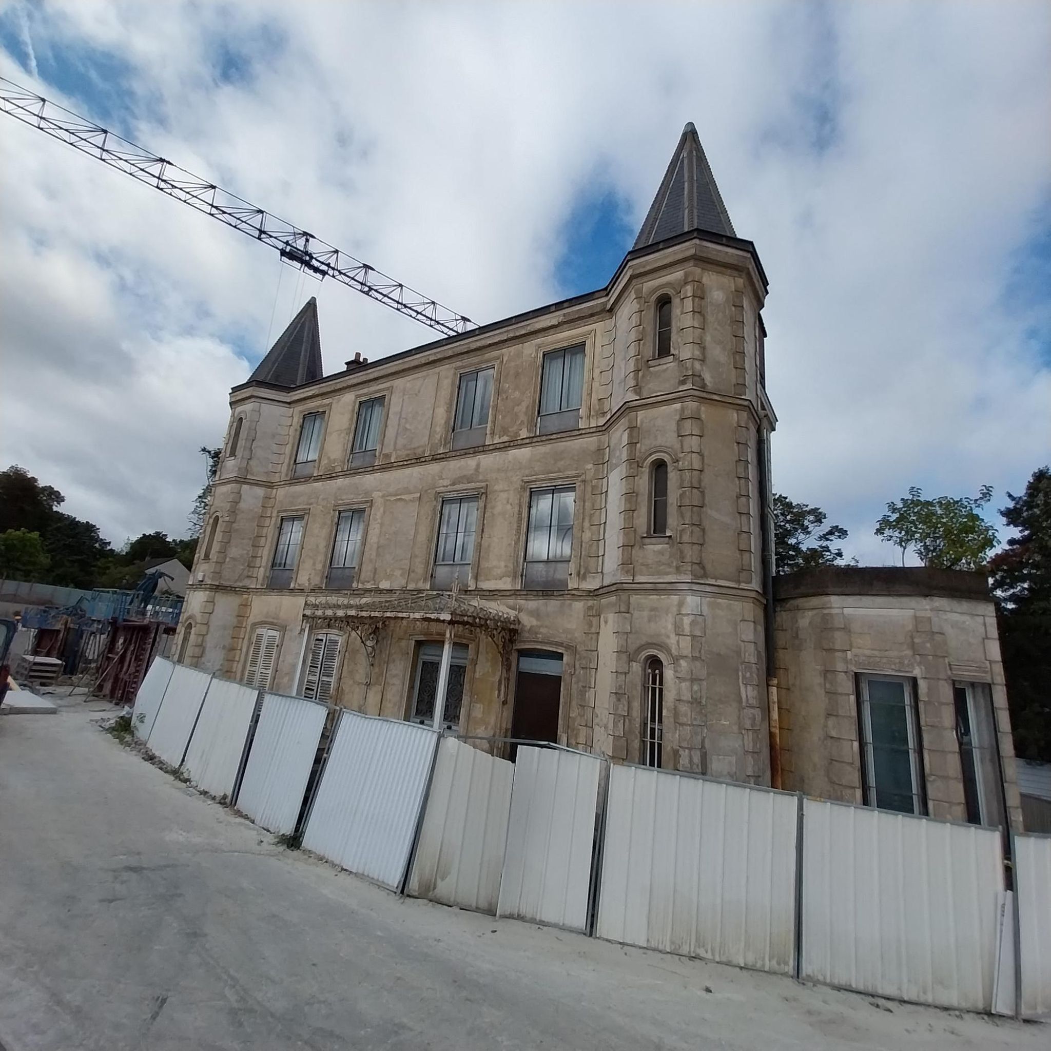
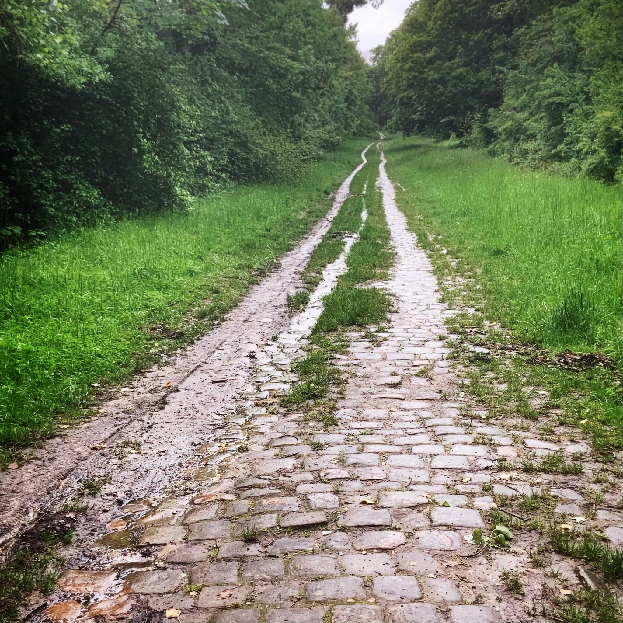
Tips from the Community

Beautiful wooded and bucolic park.
0
0

A lovely park with its "Olive Tree of Peace." A glass plaque at its base reads: "Jointly planted on November 11, 2018, by Mr. Régis Charbonnier, Mayor of Boissy-Saint-Léger, and Mr. Thomas Maertens, Mayor of Lauda-Königshofen, as part of the commemoration of the centenary of the end of World War I."
0
0


Friendly and safe for cyclists
0
0

Mont Griffon offers a haven of greenery and a breathtaking view of the Yerres Valley and its surroundings. Accessible via wild trails, this place is ideal for a bike ride in the heart of nature. At the summit, the clear view allows you to appreciate the hilly landscape, punctuated by forests and meadows.
1
0

during your long walks, a well-deserved little break ;)
0
0

To read before getting on your bike: https://valle-de-l-yerres-plateau-briard.over-blog.com/2018/09/le-train-des-roses.html
6
0
the old railway line of the Bastille station (also called Chemin des Roses in Seine et Marne and Végétale (formerly Tégéval) in Val de Marne) is gradually being developed into a cycle/pedestrian path over the entire route not used by the RER A or the TGV, that is to say roughly from Boissy to the Yèbles terminus (40 km further), via the stations of Mandres, Brie-comte-Robert, Grisy, Coubert, etc... The path is built from the TGV underground in Boissy to the terminus of the line (since 2023 with the connection between Mandres and Servon which did not exist). Overall magnificent, very pleasant and on a clean site (by definition). Only the connection between Servon and Brie is a little chaotic with the crossing of the Francilienne and the N19, not very picturesque. To do!!
6
2
Frequently Asked Questions
How many hiking trails are available around Boissy-Saint-Léger?
There are over 390 hiking routes around Boissy-Saint-Léger, offering a wide variety of options for different preferences and skill levels. The komoot community has explored these trails over 4,700 times, providing valuable insights and reviews.
What is the general difficulty level of hikes in Boissy-Saint-Léger?
The majority of hikes around Boissy-Saint-Léger are considered easy to moderate. Specifically, there are 178 easy routes, 207 moderate routes, and only 12 difficult routes. This makes the area very accessible for most hikers, including beginners and families.
Are there easy hikes suitable for beginners or casual walkers?
Yes, Boissy-Saint-Léger offers a significant number of easy hikes, with 178 routes categorized as such. These trails typically feature gentle terrain and low elevation changes, making them perfect for those new to hiking or looking for a relaxed stroll. An example is the Bucolic bridge – La Prairie de Servon loop from Marolles-en-Brie, which is a moderate route but offers open prairies and scenic views.
Are the trails in Boissy-Saint-Léger suitable for families with children?
Absolutely. Given the prevalence of easy and moderate routes with low elevation changes, many trails are well-suited for families. The landscape often includes woodlands and local parks, providing pleasant and safe environments for children to explore. Consider routes that pass through open fields or near historical estates for added interest.
Can I bring my dog on the hiking trails?
In general, dogs are welcome on leash on most public hiking trails and in forests around Boissy-Saint-Léger, provided they are kept under control and owners clean up after them. However, always check specific park regulations or signage, especially in nature reserves or protected areas, as rules can vary.
What kind of terrain can I expect on the hiking trails?
The terrain around Boissy-Saint-Léger is characterized by gentle landscapes, primarily featuring woodlands, small brooks, and open fields. Many routes also pass through local parks and near historical estates, offering varied scenery. You can expect mostly well-maintained paths with minimal elevation gain, making for comfortable walking.
Are there many circular walks available?
Yes, many of the hiking routes around Boissy-Saint-Léger are designed as circular walks, allowing you to start and end at the same point without needing to retrace your steps. For instance, the Bois de la Grange – Bois de la Grange loop from Boissy-Saint-Léger is a popular moderate circular option.
What interesting landmarks or attractions can I see along the trails?
The area around Boissy-Saint-Léger offers a mix of natural and historical points of interest. You might encounter historical estates, local parks, and natural features like brooks and ponds. For example, you could explore areas near Lake Gravelle or Rut Pond, which are popular highlights in the region.
What do other hikers enjoy most about hiking in Boissy-Saint-Léger?
The hiking trails in Boissy-Saint-Léger are highly rated by the komoot community, with an average score of 4.6 stars from over 660 reviews. Hikers often praise the quiet woodlands, the gentle terrain, and the pleasant mix of natural and historical scenery that makes the routes enjoyable and accessible.
What is the best time of year to hike in Boissy-Saint-Léger?
Spring and autumn are generally ideal for hiking around Boissy-Saint-Léger, offering mild temperatures and beautiful scenery as foliage changes or blooms. Summer can also be pleasant, especially in shaded woodland areas. Winter hiking is possible, but trails may be muddy, and some facilities might have reduced hours.
Are there any routes that pass by historical sites?
Yes, many routes in the region incorporate historical elements. For example, the Villiers Fountain Brook – Fort of Sucy-en-Brie loop from Sucy - Bonneuil is a moderate route that explores both natural features and historical sites, offering a glimpse into the area's past.
Can I find routes that offer a mix of open and shaded sections?
Certainly. Many trails around Boissy-Saint-Léger traverse both open fields and forested areas. The Château des Marmousets – Carrefour des Huit Routes loop from Créteil is a good example, leading through parklands and forested sections, providing a balanced experience of sun and shade.
Most popular routes around Boissy-Saint-Léger
Most popular attractions around Boissy-Saint-Léger

Get inspired with the komoot mobile app


Explore more
Browse the best Hikes in other regions.
