The best running trails around Le Bailleul
4.2
(8)
1,568
runners
11
runs
Jogging around Le Bailleul offers access to the varied landscapes of the Sarthe department in north-western France. The local terrain features gentle undulations, with altitudes ranging from 34m to 69m, providing diverse running experiences. Notable natural features include the Zone humide de l'Aunay, a 6.5-hectare wetland area with discovery paths suitable for leisurely runs. The wider region provides access to expansive forests, river valleys, and rolling hills, catering to a range of running preferences.
Best jogging routes around Le Bailleul
…Last updated: July 4, 2026
5
runners
10.8km
01:07
40m
40m
Moderate run. Good fitness required. Mostly paved surfaces. Suitable for all skill levels.
4
runners
11.5km
01:12
50m
50m
Moderate run. Good fitness required. Mostly paved surfaces. Suitable for all skill levels.

Sign up for free
4
runners
13.7km
01:25
70m
70m
Moderate run. Good fitness required. Mostly paved surfaces. Suitable for all skill levels.
3
runners
9.82km
01:02
40m
40m
Moderate run. Good fitness required. Mostly paved surfaces. Suitable for all skill levels.
3
runners
8.17km
00:50
10m
10m
Moderate run. Good fitness required. Mostly paved surfaces. Suitable for all skill levels.
Get access to more routes and recommendations from other explorers.
Sign up for free
Already have an account?
Our route recommendations are based on thousands of hikes, rides, and runs completed by other people on komoot.
Start today with a free account
Your next adventure awaits.
Login or Signup



Tips from the Community

very beautiful castle, on the edge of the departmental road.
0
0

The old fortress of Malicorne which preceded this castle was founded in the 11th century. It fell into English hands for just over 50 years in the 14th and 15th centuries, but was eventually recaptured. The castle you see now was built in the 18th century on the ruins of the old building.
3
0

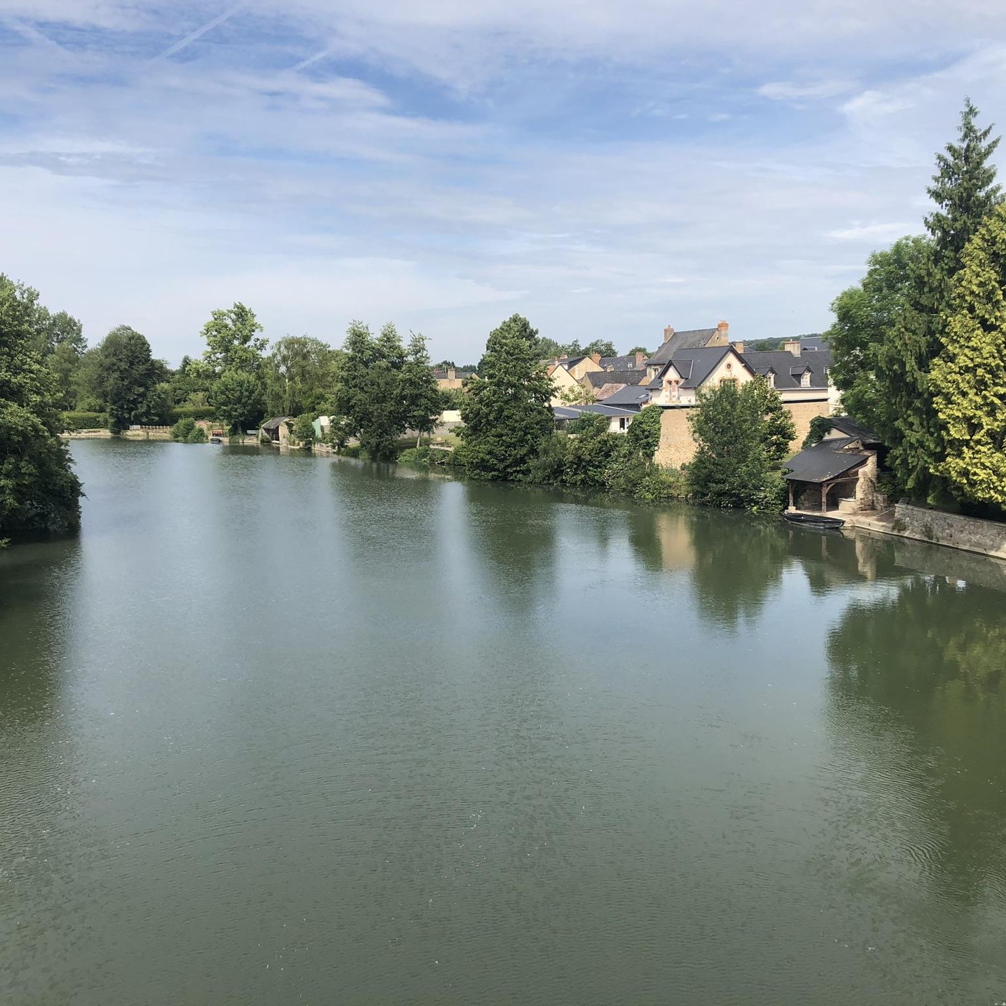
Malicorne-sur-Sarthe is ideal for a break with its river stopover, its mill and its earthenware and ceramics museum. Settle down and enjoy this commune classified as a City and Craftsmanship.
0
0
Frequently Asked Questions
How many running routes are available in Le Bailleul, and what are their difficulty levels?
Le Bailleul offers a wide selection of running routes, with over 130 trails to explore. These routes cater to various fitness levels, including 16 easy, 104 moderate, and 17 difficult options, ensuring there's a suitable path for every runner.
Are there family-friendly jogging routes in Le Bailleul?
Yes, the region provides several options suitable for families. The Running loop from Crosmières is a moderate 7 km trail that offers a pleasant experience. Additionally, the Zone humide de l'Aunay, a local wetland area, features accessible discovery paths perfect for leisurely jogs with children, complete with picnic tables and games.
Can I bring my dog on the running trails around Le Bailleul?
Many of the natural trails in and around Le Bailleul are suitable for running with dogs. Areas like the Zone humide de l'Aunay and the Bois de l'Hommeau offer scenic paths. It's always recommended to keep your dog on a leash, especially in protected natural areas or near agricultural land, to ensure the safety and comfort of all users and local wildlife.
What kind of terrain and elevation can I expect on the running trails in Le Bailleul?
The terrain around Le Bailleul is characterized by gentle topography, with altitudes ranging from 34m to 69m. You'll find a mix of rolling hills, extensive forests, and serene river valleys. Routes like the Running loop from Les Marchandières offer varied rural landscapes, while others might take you through wetlands or along riverside paths.
Are there circular running routes available in the Le Bailleul area?
Yes, many of the running routes in Le Bailleul are designed as circular loops, offering convenient starting and ending points. For example, the Running loop from Le Bailleul is a popular 11.5 km circular trail that explores the commune's surroundings.
What are some interesting landmarks or places to see along the jogging routes?
While jogging, you can encounter various points of interest. Consider routes that pass near historical sites like the Château de Durtal or the Château de Malicorne. Some trails also offer scenic views, such as the View of the Loir, providing picturesque backdrops for your run.
What do other runners enjoy most about jogging in Le Bailleul?
The running routes in Le Bailleul are highly rated by the komoot community, with an average score of 4.75 stars from 9 reviews. Runners often praise the varied terrain, from tranquil wetlands to gentle hills, and the peaceful, natural environment that makes for a refreshing outdoor experience.
Is parking available near the running trails in Le Bailleul?
While specific parking areas for every trail are not always signposted, you can generally find parking in the villages or near the starting points of many routes. For trails within natural areas like the Zone humide de l'Aunay, dedicated parking is often provided to facilitate access for visitors.
What is the best season for running in Le Bailleul?
Spring and autumn are generally ideal for running in Le Bailleul, offering pleasant temperatures and vibrant natural scenery. While the region's wetlands provide unique landscapes, they can lead to muddy conditions during very wet periods or in winter, so appropriate footwear is advisable during those times.
Are there any longer, more challenging running routes for experienced runners?
Yes, for those seeking a greater challenge, Le Bailleul and the wider Sarthe department offer more demanding trails. The Malicorne-sur-Sarthe loop from Arthezé is a moderate 13.7 km route with a decent elevation gain, providing a good workout amidst varied landscapes.
How accessible are the running routes in Le Bailleul by public transport?
Le Bailleul is a rural commune, and while some regional bus services might connect to nearby towns, direct public transport access to specific trailheads can be limited. It is generally recommended to use a car to reach the starting points of many running routes, especially those further afield in the Sarthe department.
Most popular routes around Le Bailleul
Most popular attractions around Le Bailleul

Get inspired with the komoot mobile app


Explore more
Browse the best Running Trails & Routes in other regions.
