The best cycling routes around Habère-Lullin
4.3
(214)
4,058
riders
122
rides
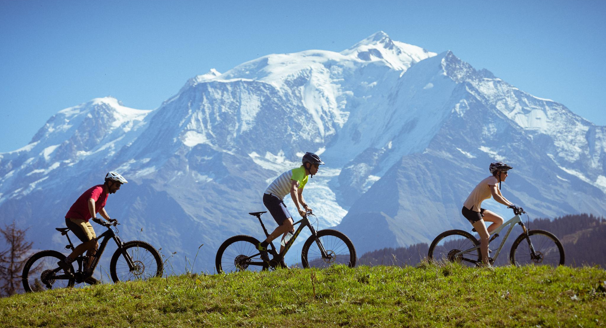
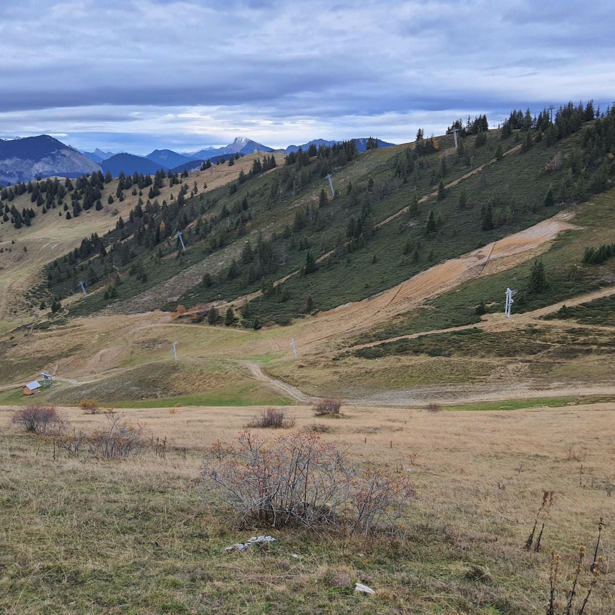
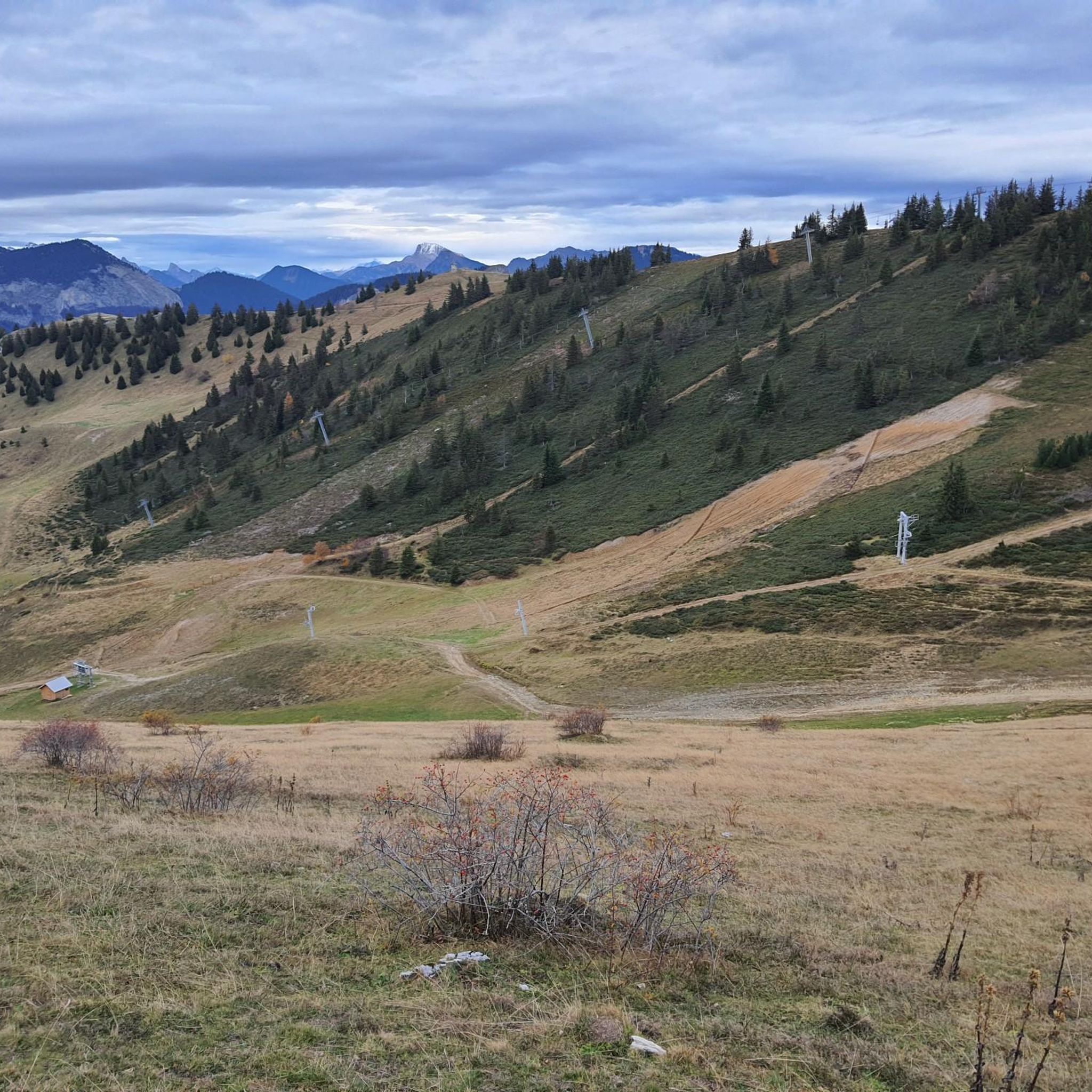
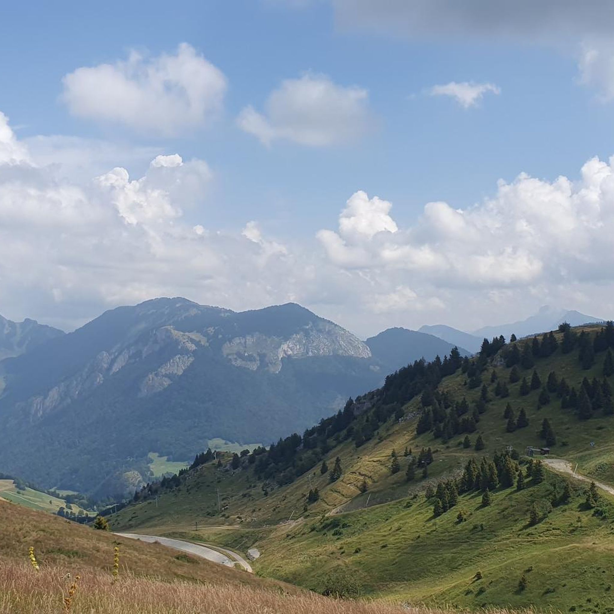
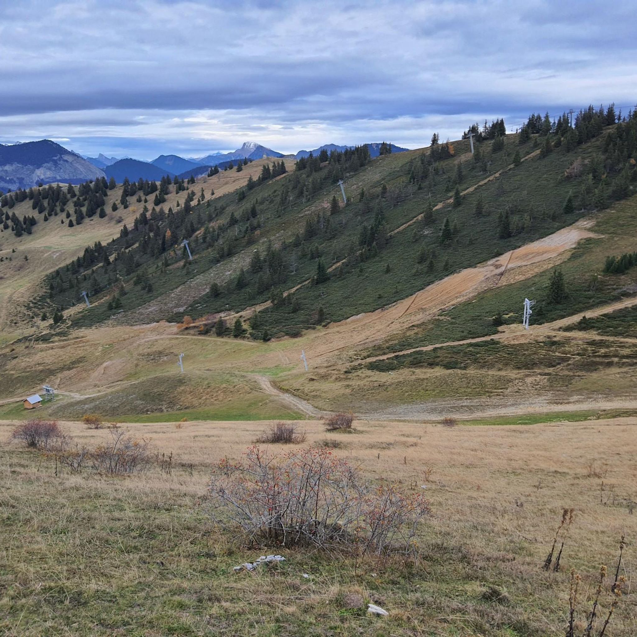
Touring cycling routes around Habère-Lullin are situated in the French Alps within the Haute-Savoie Mont-Blanc region, offering diverse mountain landscapes. The area is characterized by dense forests, open mountain pastures, and significant peaks, with altitudes ranging from 790 meters to 1597 meters at the Crête d'Hirmentaz. The terrain includes numerous mountain passes and varied elevation, providing a range of challenges for cyclists.
Best touring cycling routes around Habère-Lullin
- The most popular touring cycling route is Les Gets and the Col…
Last updated: July 4, 2026
5.0
(1)
128
riders
81.5km
05:51
1,550m
1,550m
Hard bike ride. Very good fitness required. You may need to push your bike for some segments of this route.
4.7
(6)
55
riders
47.8km
03:23
960m
960m
Hard bike ride. Very good fitness required. Mostly paved surfaces. Suitable for all skill levels.

Sign up for free
4.0
(2)
37
riders
28.0km
02:15
830m
830m
Hard bike ride. Very good fitness required. Mostly paved surfaces. Suitable for all skill levels.
4.5
(2)
37
riders
32.6km
02:29
790m
790m
Hard bike ride. Very good fitness required. Mostly paved surfaces. Suitable for all skill levels.
4.0
(1)
20
riders
39.3km
02:31
510m
510m
Hard bike ride. Very good fitness required. Mostly paved surfaces. Suitable for all skill levels.
Get access to more routes and recommendations from other explorers.
Sign up for free
Already have an account?
Our route recommendations are based on thousands of hikes, rides, and runs completed by other people on komoot.
Start today with a free account
Your next adventure awaits.
Login or Signup

Other adventures around Habère-Lullin

Tips from the Community

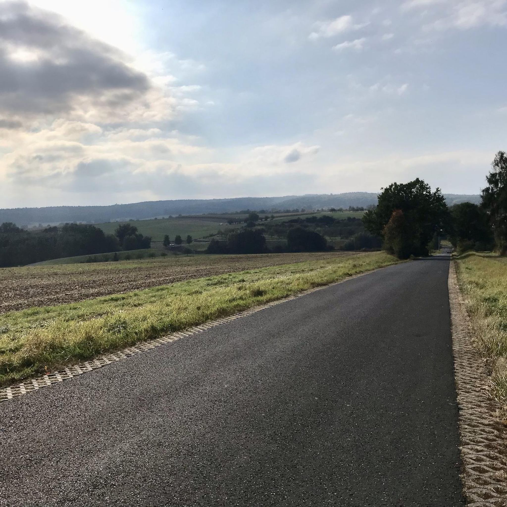
Small country road overlooking the green valley, calm and magnificent!
0
0
Small forest road to reach the Plaine Joux plateau. Not cleared of snow in winter but very quiet the other 3 seasons
0
0


Nice Spot! Absolutely cyclitsapproved 🫵🫰
0
0
Beautiful Spot! Absolutely cyclitsapproved 🫵🫰
0
0

From the port in Thonon, you can regularly take the ferry to Lausanne. The crossing takes approx. 50 minutes. If you want to book a round trip in one day, the cheaper day ticket is already worthwhile. More information can be found at https://www.cgn.ch
0
0

Frequently Asked Questions
How many touring cycling routes are available around Habère-Lullin?
There are over 120 touring cycling routes in the Habère-Lullin area. These routes offer a wide range of experiences, from moderate rides to challenging ascents through the mountainous terrain.
What kind of terrain can I expect on touring cycling routes in Habère-Lullin?
Touring cycling routes in Habère-Lullin feature diverse terrain, including dense forests, open alpine pastures, and significant mountain passes. You'll encounter varied elevation, with altitudes ranging from 790 meters to 1597 meters at the Crête d'Hirmentaz, offering both challenging climbs and rewarding descents.
Are there any easy touring cycling routes suitable for beginners in Habère-Lullin?
Yes, while many routes are challenging, there are around 10 easy touring cycling routes available. Additionally, about 40 moderate routes offer a less strenuous experience than the more difficult mountain pass circuits.
What are some notable viewpoints or landmarks I can see along the cycling routes?
Many routes offer stunning panoramic views of Mont Blanc and Lake Geneva. You can also pass by natural features like La Gouille aux Morts or the dramatic Gorges du Pont du Diable. Historical sites such as the ruins of the Lullin castle or the Chapelle Saint-Bruno also provide interesting stops.
Are there any circular touring cycling routes in Habère-Lullin?
Yes, many of the touring cycling routes in the area are designed as loops. For example, the Plateau de la Menoge – Col de Cou loop from Habère-Poche is a moderate 23 km circular route, and the Plateau de la Menoge – Col du Perret loop from Habère-Poche offers a more challenging 26.8 km circuit.
What is the best season for touring cycling in Habère-Lullin?
The best season for touring cycling in Habère-Lullin is typically from late spring through early autumn. During these months, the weather is generally favorable, and mountain passes are clear of snow, offering ideal conditions to enjoy the scenic routes and panoramic views.
Can I reach the cycling routes using public transport?
While Habère-Lullin is accessible, public transport options directly to all trailheads might be limited. It's advisable to check local bus schedules, especially for services connecting to larger towns, or consider combining public transport with a short ride to your starting point. For more information on local transport, you might consult the Haute-Savoie Mont Blanc tourism site.
Where can I find parking for my car when starting a touring cycling route?
Parking is generally available in the villages and hamlets that serve as starting points for routes, such as Habère-Lullin or Habère-Poche. Look for designated parking areas, often near village centers or trailheads. Always check local signage for any restrictions.
Are there facilities like cafes or accommodation for cyclists in Habère-Lullin?
Habère-Lullin and its surrounding hamlets offer various facilities for visitors. You can find local cafes and restaurants for refreshments, and there are accommodation options ranging from guesthouses to hotels, particularly in the main village and nearby areas, catering to outdoor enthusiasts.
What do other touring cyclists enjoy most about cycling in Habère-Lullin?
The area is highly rated by the komoot community, with an average score of 4.4 stars from over 100 reviews. Cyclists often praise the challenging mountain passes like Col de Cou and Jambaz Pass, the stunning panoramic views of Mont Blanc and Lake Geneva, and the diverse landscapes that include both dense forests and open alpine pastures.
Are there any specific challenging routes for experienced touring cyclists?
Experienced touring cyclists will find plenty of challenges. The Col de Cou – Port of Thonon-les-Bains loop from Habère-Lullin is a difficult 47.8 km path featuring the demanding Col de Cou. Another option is the Chalets d'Ajon – Montée d'Ajon loop from Habère-Poche, a 27.6 km trail with a substantial climb through alpine terrain.
Most popular routes around Habère-Lullin
Most popular attractions around Habère-Lullin

Get inspired with the komoot mobile app


Explore more
Browse the best Cycling routes in other regions.
