The best road cycling routes around Burdignin
4.3
(173)
5,865
riders
84
rides
Road cycling routes around Burdignin are characterized by their alpine foothills terrain, featuring numerous mountain passes and valleys. The region offers varied elevations, with routes often including significant climbs and descents. This area provides a diverse landscape for road cyclists, from challenging ascents to scenic loops through rural settings.
Best road cycling routes around Burdignin
- The most popular road cycling route is Col de Saxel (944 m) – Jambaz Pass loop from Bogève, a 42.4 miles (68.2 km) trail…
Last updated: October 9, 2026
4.4
(7)
572
riders
68.2km
03:30
1,190m
1,190m
Hard road ride. Very good fitness required. Mostly well-paved surfaces and easy to ride.
4.6
(7)
260
riders
56.6km
02:48
880m
880m
Moderate road ride. Good fitness required. Mostly well-paved surfaces and easy to ride.

3.9
(9)
193
riders
53.1km
03:05
1,220m
1,220m
Hard road ride. Very good fitness required. Mostly well-paved surfaces and easy to ride.
5.0
(2)
66
riders
50.6km
03:15
1,400m
1,410m
Hard road ride. Very good fitness required. Mostly well-paved surfaces and easy to ride.
50
riders
76.0km
03:45
1,040m
1,040m
Hard road ride. Very good fitness required. Mostly well-paved surfaces and easy to ride.
Get access to more routes and recommendations from other explorers.
Already have an account?
Our route recommendations are based on thousands of hikes, rides, and runs completed by other people on komoot.
Start today with a free account
Your next adventure awaits.
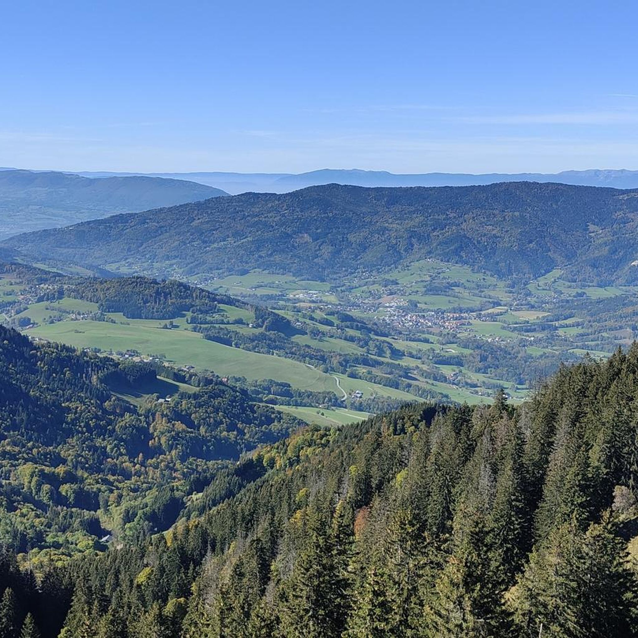
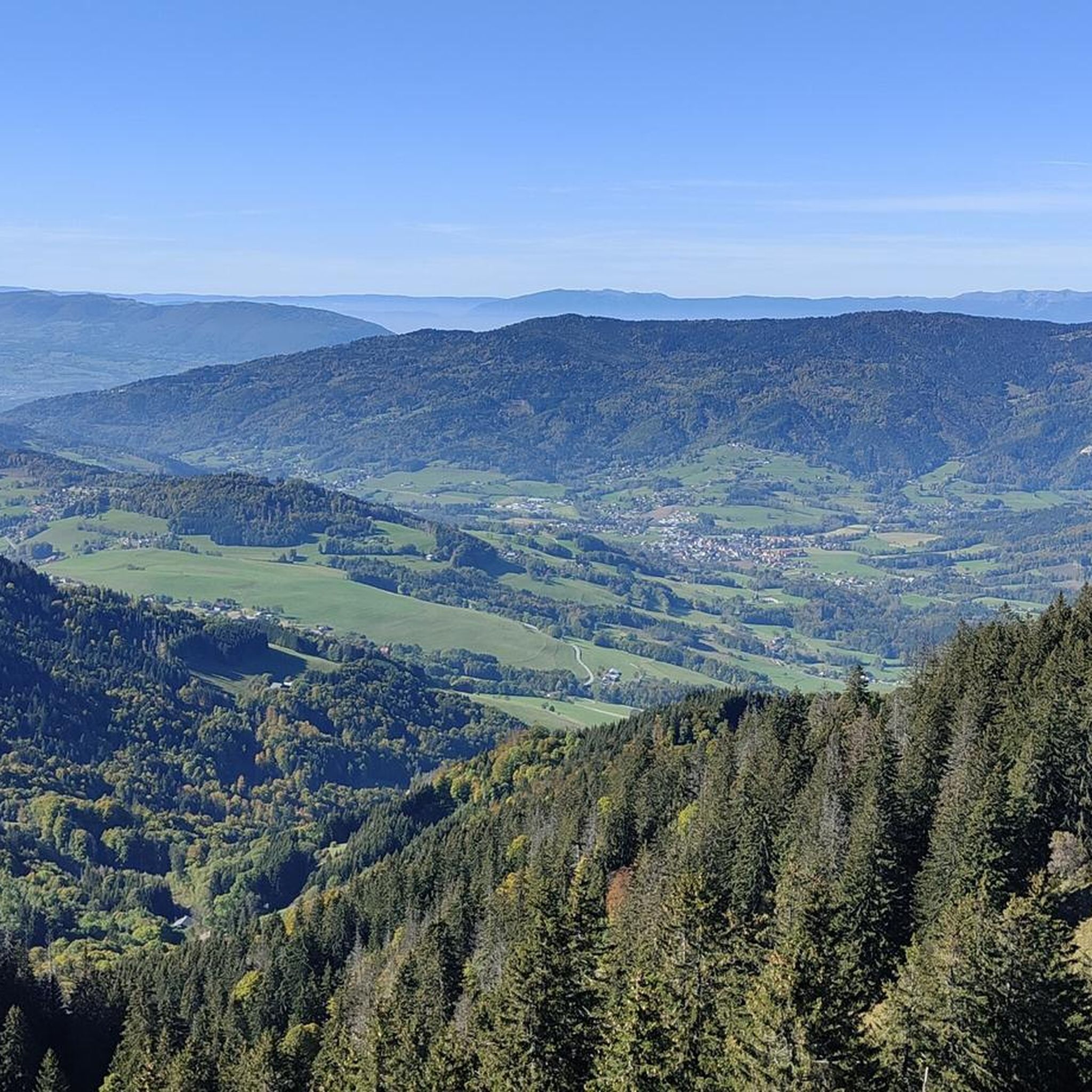
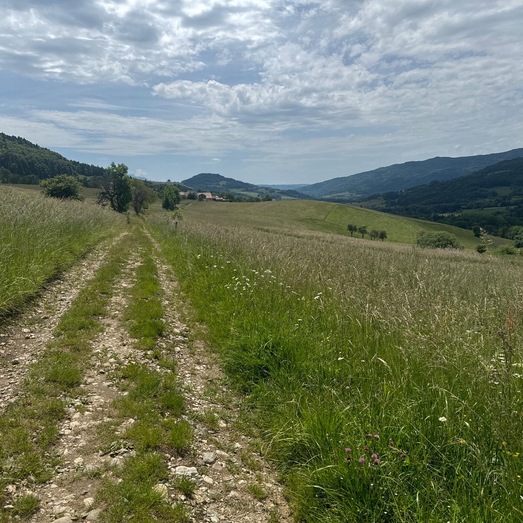
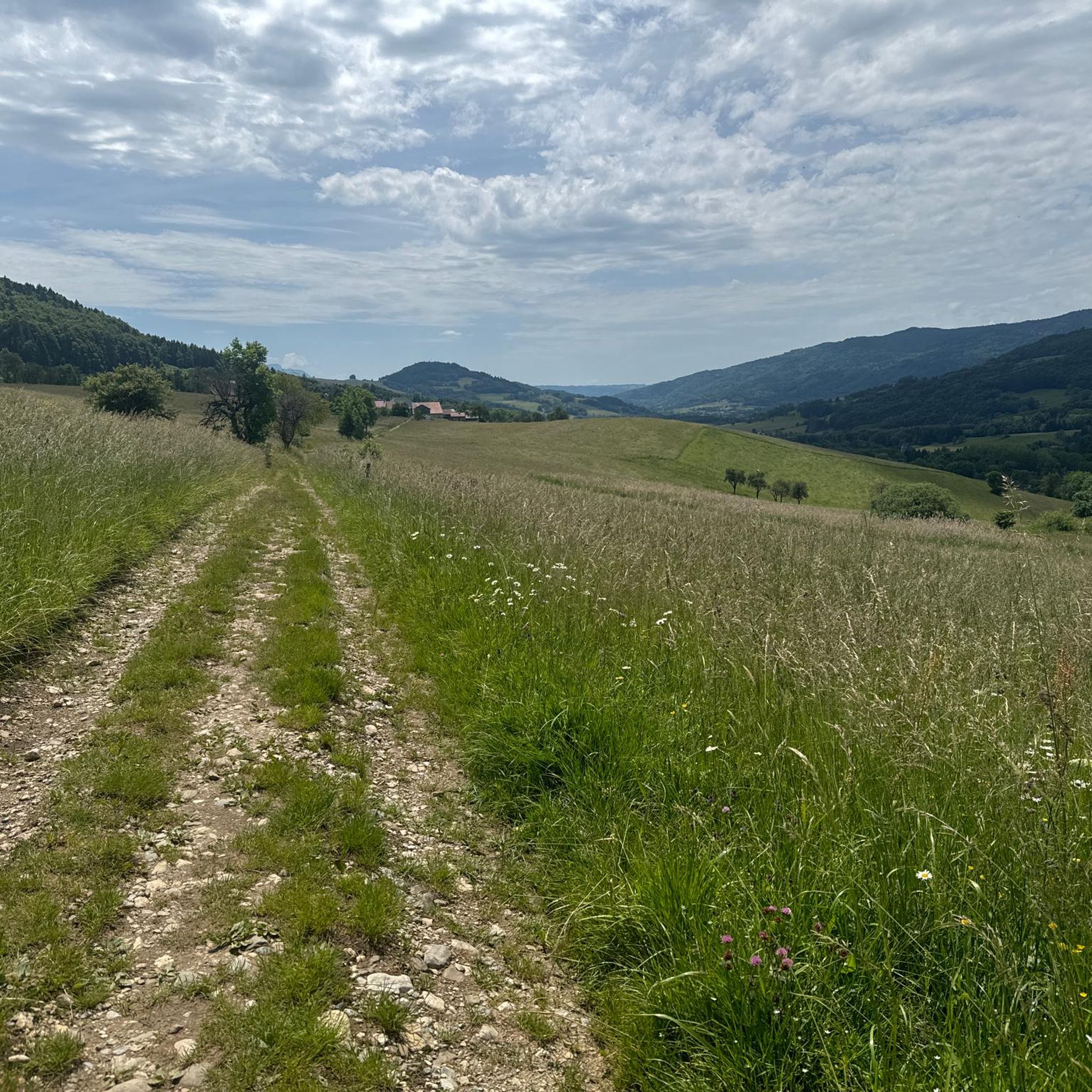
Tips from the Community

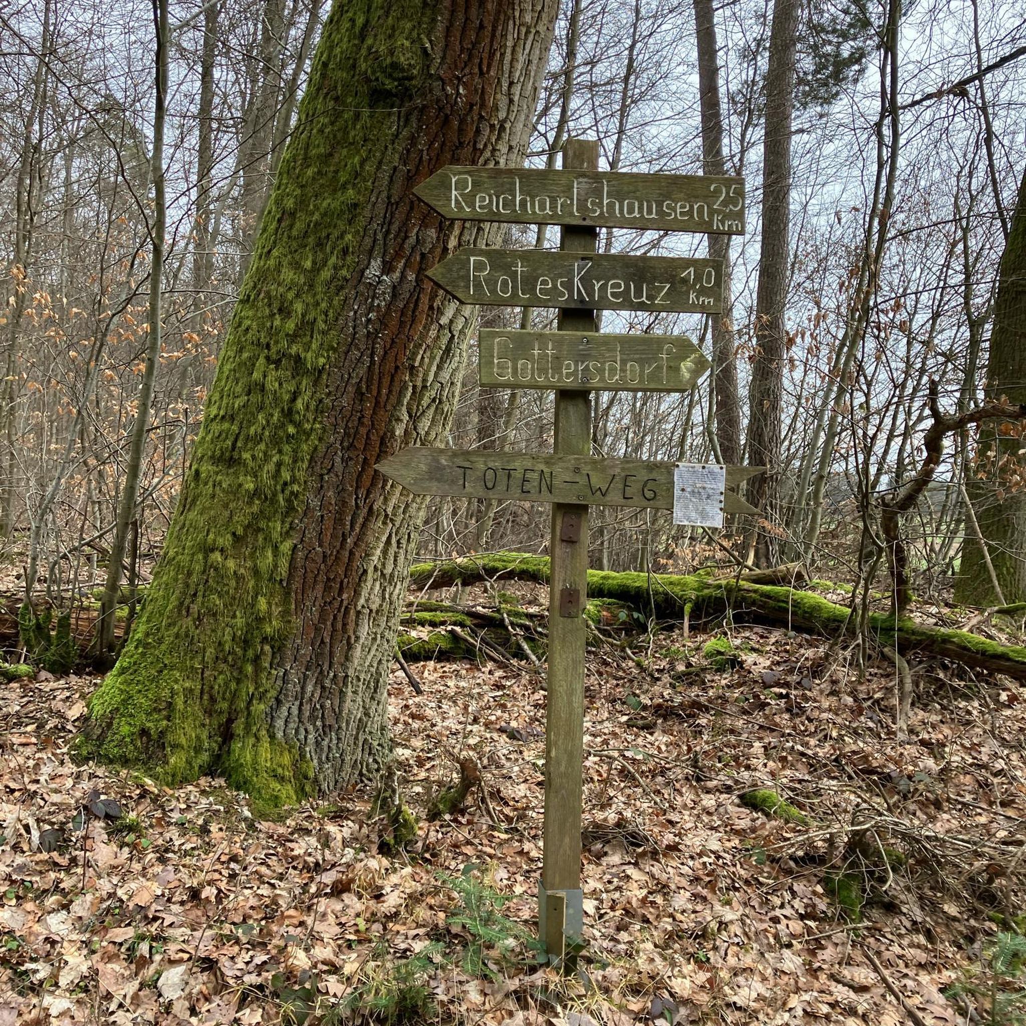
pretty here, very pretty
1
0

for quite a while the border between France and Switzerland runs along the road.
1
0


Nice Spot! Absolutely cyclitsapproved 🫵🫰
0
0

One of the quietest, wildest and most beautiful passes in Chablais!
1
0

Frequently Asked Questions
How many road cycling routes are available around Burdignin?
There are nearly 90 road cycling routes around Burdignin, offering a wide range of options for various skill levels. These routes are characterized by their alpine foothills terrain, featuring numerous mountain passes and valleys.
What kind of terrain can I expect on road cycling routes in Burdignin?
The terrain around Burdignin is typical of alpine foothills, meaning you can expect varied elevations with significant climbs and descents. Routes often include challenging mountain passes and scenic valley roads, providing a diverse landscape for road cyclists.
Are there road cycling routes suitable for beginners in Burdignin?
Yes, Burdignin offers 11 easy road cycling routes. These routes are generally shorter and have less elevation gain, making them ideal for those new to road cycling or looking for a more relaxed ride.
Where can I find challenging road cycling routes with significant climbs?
For advanced cyclists seeking a challenge, Burdignin has 25 difficult routes. These often feature substantial elevation gains and include iconic mountain passes. For example, the Col de l'Encrenaz (1433 m) – Lake Montriond loop from Saint-André-de-Boëge is a demanding route with over 2,700 meters of elevation gain.
What are the typical distances for road cycling routes in this region?
Distances vary significantly. You can find shorter routes, such as the moderate Jambaz Pass – Best bakery/coffee stop around loop from Habère-Lullin at about 31 km, up to much longer and more challenging rides like the Col de l'Encrenaz (1433 m) – Lake Montriond loop from Saint-André-de-Boëge, which covers over 124 km.
Are there any loop road cycling routes around Burdignin?
Many of the road cycling routes in Burdignin are designed as loops, allowing you to start and finish in the same location. Examples include the popular Col de Saxel (944 m) – Jambaz Pass loop from Bogève and the scenic Col de Saxel (944 m) – Lake view loop from Habère-Poche.
What can I see along the road cycling routes in Burdignin?
The routes often pass by significant natural and cultural landmarks. You might encounter mountain passes like Jambaz Pass or Col de Saxel. Other points of interest include Mount Forchat and the historic Saint Bruno Chapel.
What do other road cyclists enjoy most about road cycling in Burdignin?
The area is highly rated by the komoot community, with an average score of 4.3 stars from over 130 reviews. Cyclists often praise the challenging climbs, the stunning mountain and valley scenery, and the variety of routes available for different skill levels.
What is the best time of year for road cycling in Burdignin?
Given its alpine foothills location, the best time for road cycling in Burdignin is typically from late spring through early autumn (May to October). During these months, the weather is generally milder, and mountain passes are clear of snow, offering optimal conditions for riding.
Are there any specific viewpoints or scenic spots along the routes?
Many routes offer breathtaking views of the surrounding landscape. The Col de Saxel (944 m) – Lake view loop from Habère-Poche, for instance, is known for its scenic lake and mountain vistas. Additionally, summits like Mount Forchat provide panoramic outlooks.
Is parking available near the starting points of road cycling routes?
While specific parking information for every route isn't detailed, starting points in towns and villages like Bogève, Habère-Poche, or Saint-André-de-Boëge typically offer public parking options. It's advisable to check local parking availability for your chosen starting location.
Most popular routes around Burdignin
Most popular attractions around Burdignin

Get inspired with the komoot mobile app


Explore more
Browse the best Road cycling routes in other regions.
