The best walks and hikes around Thoigné
4.5
(7)
64
hikers
10
hikes
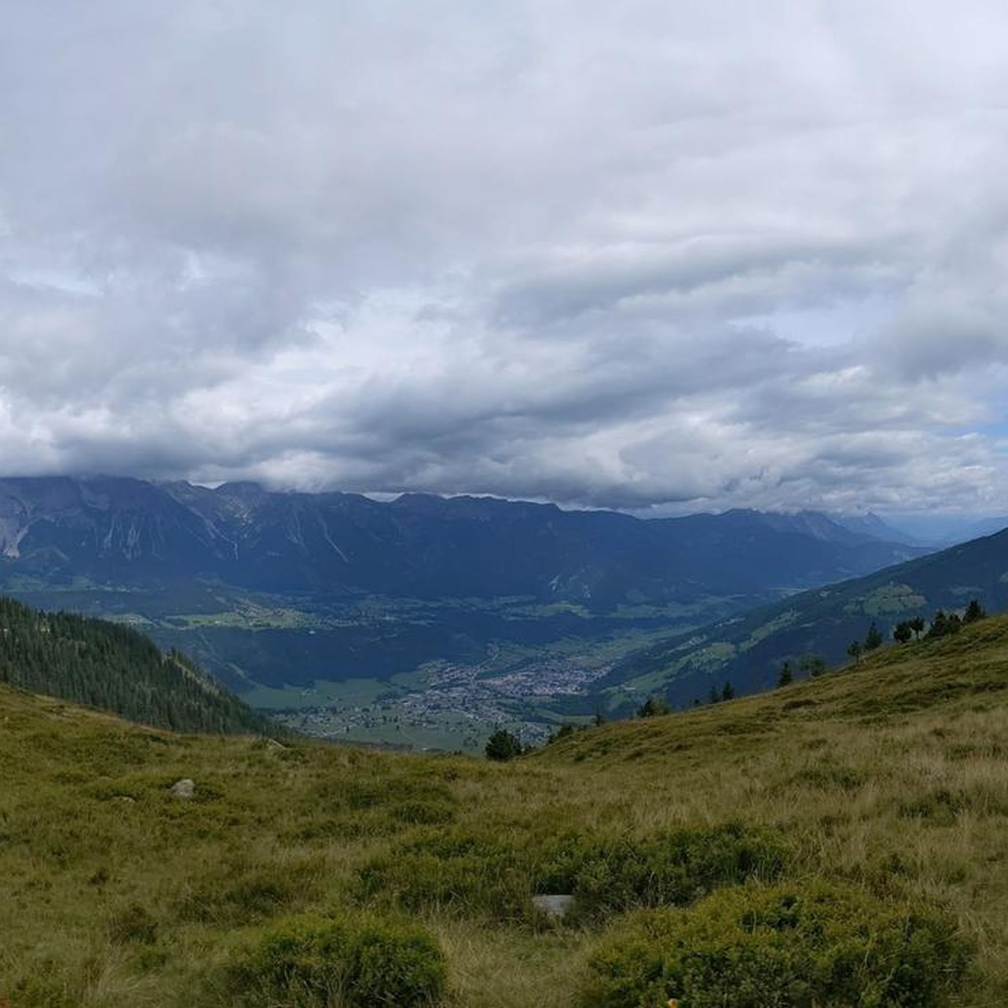
Hiking around Thoigné offers diverse landscapes, characterized by extensive woodlands and forests, providing shaded paths and tranquil environments. The region features riverside paths along the Sarthe, Vègre, and Gée rivers, often leading through lush-green areas. Hikers can also explore rural and hilly countryside, which includes varied terrain and panoramic views. This blend of natural features creates a varied and appealing setting for outdoor activities.
Best hiking trails around Thoigné
- The most popular hiking route is Greenway departure loop from Marolles-les-Braults…
Last updated: October 7, 2026
5.0
(2)
7
hikers
6.96km
01:48
40m
40m
Easy hike. Great for any fitness level. Easily-accessible paths. Suitable for all skill levels.
5
hikers
13.4km
03:40
200m
200m
Moderate hike. Good fitness required. Easily-accessible paths. Suitable for all skill levels.

4
hikers
11.7km
03:02
70m
70m
Moderate hike. Good fitness required. Easily-accessible paths. Suitable for all skill levels.
4
hikers
11.7km
03:03
70m
70m
Moderate hike. Good fitness required. Easily-accessible paths. Suitable for all skill levels.
2
hikers
7.61km
01:58
40m
40m
Easy hike. Great for any fitness level. Easily-accessible paths. Suitable for all skill levels.
Get access to more routes and recommendations from other explorers.
Already have an account?
Our route recommendations are based on thousands of hikes, rides, and runs completed by other people on komoot.
Start today with a free account
Your next adventure awaits.


Frequently Asked Questions
How many hiking trails are available around Thoigné?
The Thoigné area offers a good selection of routes, with 8 hiking trails recorded on komoot. These include 4 easy routes and 4 moderate routes, providing options for various fitness levels.
Are there any easy or beginner-friendly hikes in Thoigné?
Yes, Thoigné is well-suited for beginners and those looking for easier walks. There are 4 easy routes available. A great option is the Greenway departure loop from Marolles-les-Braults, which is 6.9 km long and takes around 1 hour 48 minutes to complete, offering a gentle path through the local countryside.
What kind of landscapes can I expect to see while hiking in Thoigné?
Hikers in Thoigné will discover a charming mix of landscapes. The region is characterized by extensive woodlands and forests, offering shaded paths and tranquil environments. You'll also find riverside paths along the Sarthe, Vègre, and Gée rivers, often leading through lush-green areas, as well as rural and hilly countryside with varied terrain and open views.
Are there any circular hiking routes around Thoigné?
Many of the trails in Thoigné are designed as loops, perfect for circular walks. For example, the Étang d'Utrel – Forêt de Perseigne loop from Neufchâtel-en-Saosnois is a moderate 14.1 km trail that takes you through the Forêt de Perseigne and past the Étang d'Utrel. Another option is the Mare aux canes loop from Villaines-la-Carelle, a 9.3 km moderate route.
What are some natural landmarks or points of interest to look out for on the trails?
The region boasts several natural features. The Étang de Gardonnière is a popular spot with scenic views, and the Étangs de Loudon, located within a forest massif near Parigné l'Evêque, are recognized for their rich biodiversity, including peat bogs and heathlands. While hiking, you might also encounter large mammals like wild boars in these areas.
Are there any historical or cultural sites near the hiking trails?
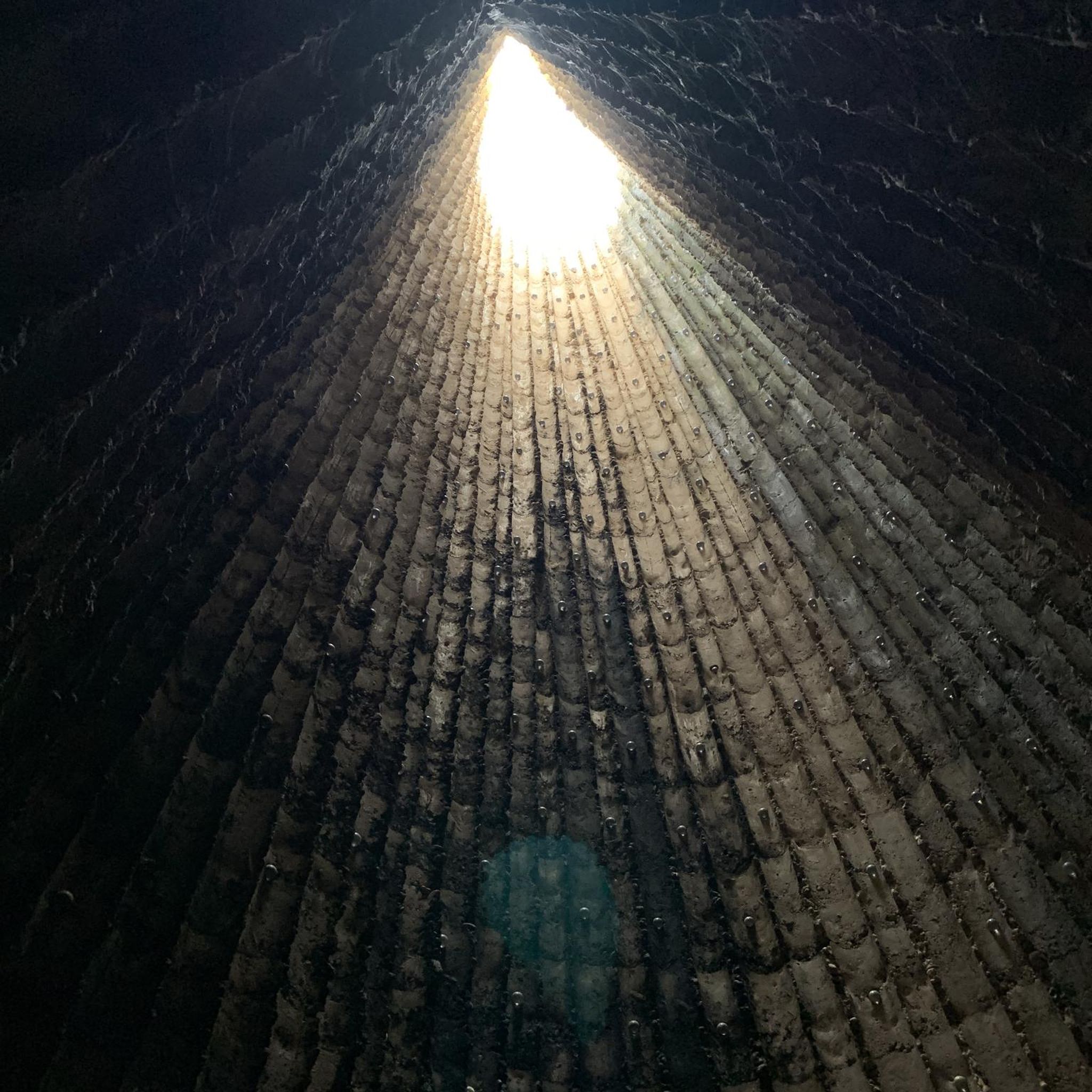
Yes, the area around Thoigné offers interesting historical and cultural sites. You can explore the Saint Mathurin Gate and Chapel, or visit the Catholic Church - St-Étienne de Neuchâtel. The commune of Thoigné itself preserves seven ancient hemp ovens and a public washhouse from the early 20th century, offering a glimpse into local heritage.
What do other hikers enjoy most about hiking in Thoigné?
The komoot community rates the hiking routes around Thoigné highly, with an average score of 4.5 stars. Hikers often praise the diverse landscapes, including extensive woodlands and tranquil riverside paths, as well as the variety of options for different ability levels.
Are there any longer or more challenging hikes for experienced walkers?
For those seeking a more challenging experience, the Hiking loop from Ancinnes is a difficult 19.8 km path. This route traverses varied terrain, including forested sections and open rural views, and typically takes around 5 hours 20 minutes to complete.
Is Thoigné a good destination for family-friendly walks?
Yes, with 4 easy routes available, Thoigné offers several options suitable for families. The gentle elevation changes and varied landscapes, including woodlands and open fields, provide an engaging environment for walkers of all ages. Consider the Greenway departure loop from Marolles-les-Braults for a pleasant family outing.
What is the best time of year to go hiking in Thoigné?
The region's charming mix of rolling countryside, woodlands, and riverside paths makes it enjoyable throughout much of the year. Spring and autumn offer pleasant temperatures and beautiful scenery with blooming flowers or vibrant foliage. Summer provides lush green forests, while winter hiking can be tranquil, though some paths might be muddy.
Are there any hikes that offer panoramic views?
Yes, some routes in the region traverse hilly countryside, providing opportunities for panoramic views. The Perseigne Viewpoint loop from Villaines-la-Carelle is a moderate 12.8 km trail that includes sections with elevated perspectives, allowing you to take in the broader landscape of the area.
Most popular attractions around Thoigné

Get inspired with the komoot mobile app


Explore more
Browse the best Hikes in other regions.
