The best cycling routes around Contamine-Sur-Arve
4.5
(411)
8,084
riders
15
rides
Touring cycling routes around Contamine-Sur-Arve are set within the lower Arve Valley in Haute-Savoie, offering diverse terrain for cyclists. The region features accessible routes along the Arve river, with the majestic Alps providing a backdrop. Topography includes tranquil valley paths and more challenging mountain ascents, with peaks like Signal des Voirons reaching 1,485 meters. The landscape is characterized by river valleys, forested slopes, and views of the Mont Blanc massif.
Best touring cycling routes around Contamine-Sur-Arve
- The most popular touring…
Last updated: October 13, 2026
5.0
(1)
68
riders
18.3km
01:42
70m
70m
Easy bike ride. Great for any fitness level. Mostly paved surfaces. Suitable for all skill levels.
29
riders
36.4km
02:31
660m
660m
Hard bike ride. Very good fitness required. Mostly paved surfaces. Suitable for all skill levels.

5.0
(2)
54
riders
40.8km
02:34
410m
410m
Moderate bike ride. Good fitness required. Mostly paved surfaces. Suitable for all skill levels.
5.0
(1)
32
riders
70.7km
05:24
1,710m
1,710m
Hard bike ride. Very good fitness required. Mostly paved surfaces. Suitable for all skill levels.
5.0
(1)
26
riders
38.0km
03:44
1,130m
1,130m
Hard bike ride. Very good fitness required. You may need to push your bike for some segments of this route.
Get access to more routes and recommendations from other explorers.
Already have an account?
Our route recommendations are based on thousands of hikes, rides, and runs completed by other people on komoot.
Start today with a free account
Your next adventure awaits.
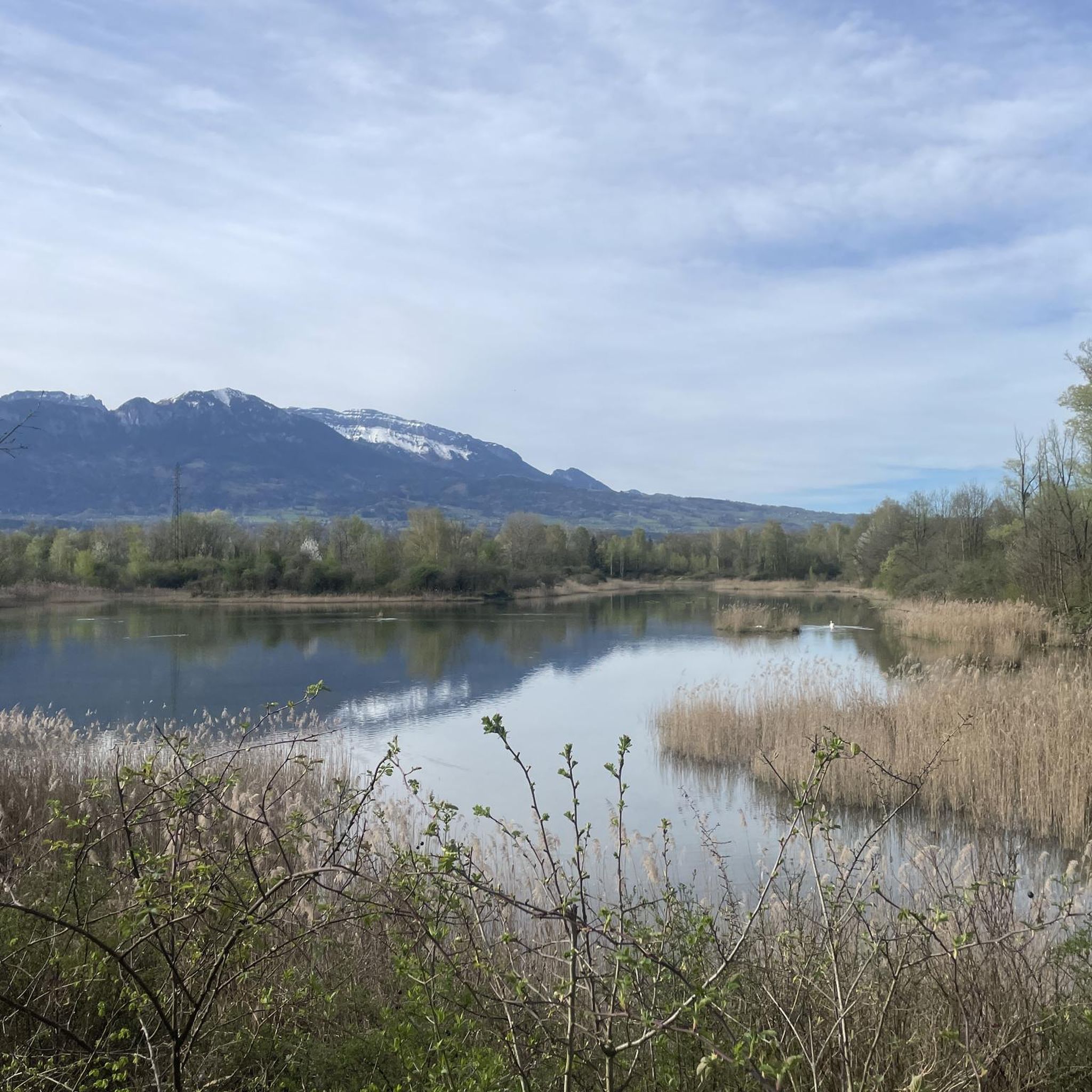

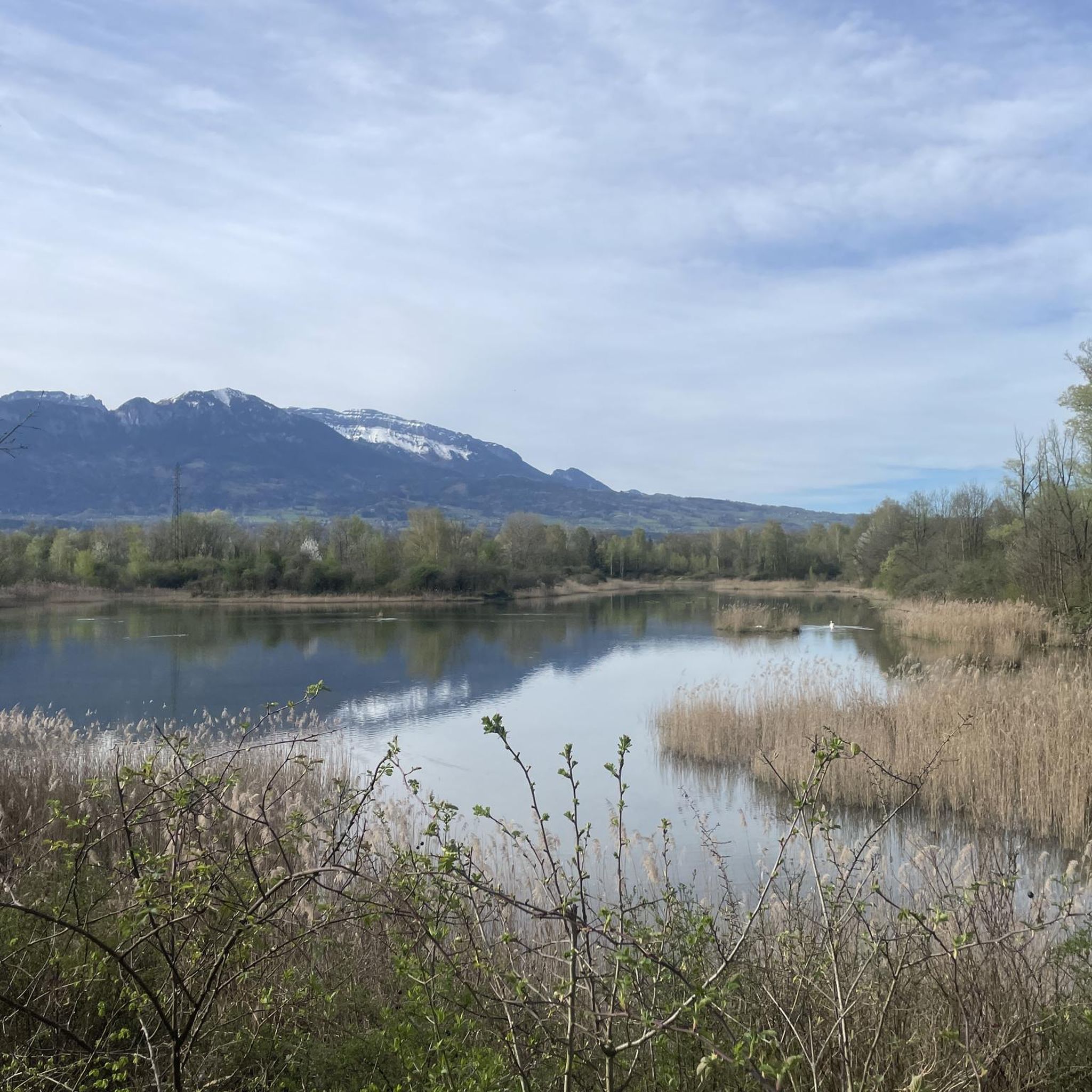
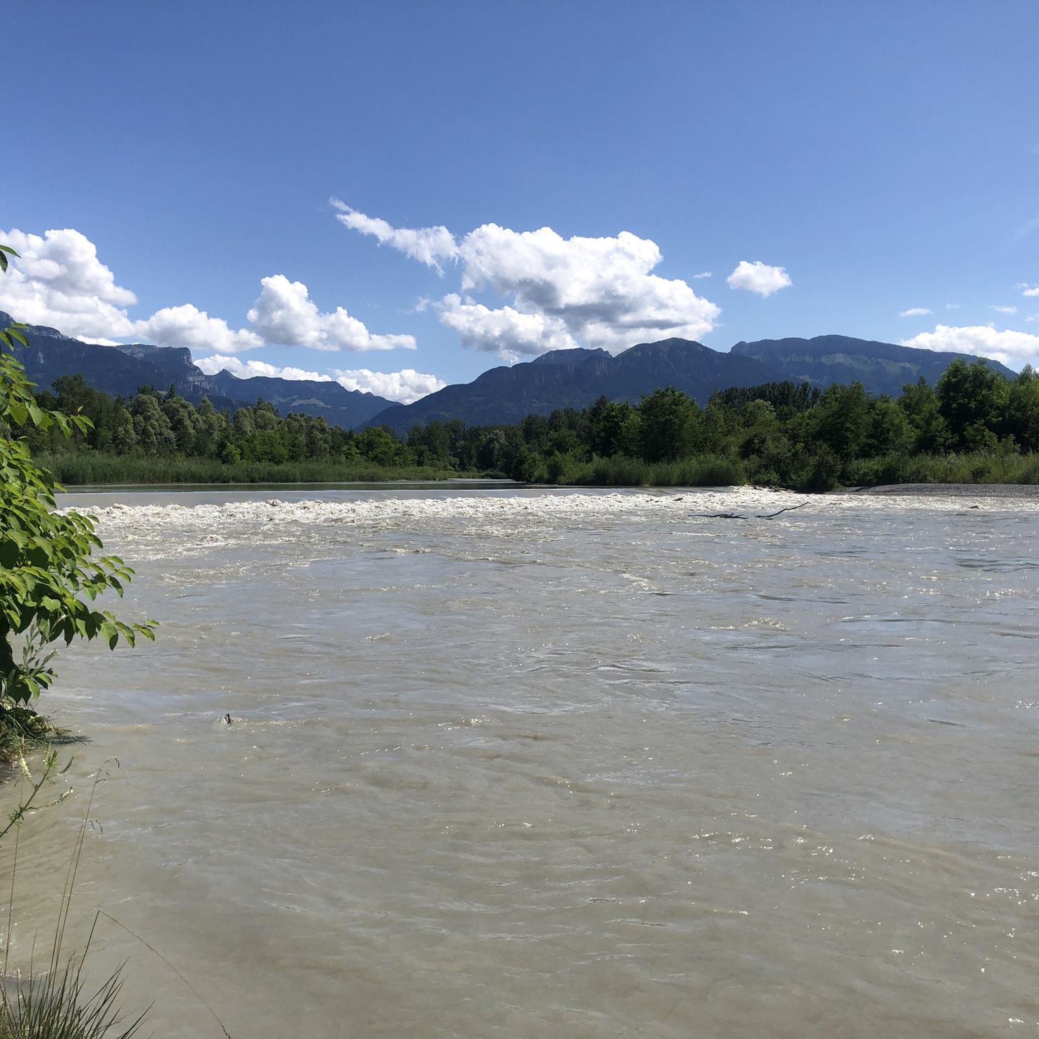

Tips from the Community

pretty footbridge to cross the Arve. Be careful, the banks of the Arve are not suitable for road bikes but rather for mountain bikes or gravel bikes
0
0

There is this wonderful cycle path from Cluses to Bonneville. You can also take it if you are coming from the Col de Jambaz and want to continue towards Bonneville.
0
0

small street with mountain view.
2
0

Here is the route for the ascent of the Col de la Ramaz starting from Mieussy.
1
0


No bicycle access to the summit. Highest point of the road
0
0

Frequently Asked Questions
How many touring cycling routes are available around Contamine-Sur-Arve?
There are over 280 touring cycling routes in the Contamine-Sur-Arve area, offering a wide variety of options for all skill levels. This includes nearly 50 easy routes, almost 100 moderate routes, and over 140 difficult routes for experienced cyclists.
Are there any easy touring cycling routes suitable for beginners or families?
Yes, the region offers several easy routes perfect for beginners or family outings. The Ar'vélo is a notably flat and accessible route along the Arve river, connecting towns like Sallanches and Cluses. While not explicitly listed as easy in the provided data, routes in the lower Arve Valley are generally more gentle. For a moderate option that's still manageable, consider the Footbridge over the Arve – Arve Path loop from Nangy, which features less elevation gain.
What kind of terrain can I expect on touring cycling routes in Contamine-Sur-Arve?
The terrain around Contamine-Sur-Arve is quite varied. You'll find tranquil valley paths along the Arve river, offering mostly flat and paved sections. For more challenging rides, routes ascend into the surrounding mountains, with peaks like Signal des Voirons, involving winding trails through fir and beech forests. Some routes may include unpaved sections, especially on more difficult mountain excursions.
Are there any circular touring cycling routes in the area?
Yes, many touring cycling routes around Contamine-Sur-Arve are designed as loops. For example, the challenging Pont du Diable Cave – La Ramaz Pass loop from Contamine-sur-Arve is a substantial circular route. Another option is the Vieux Pont de Marignier – Bridge in Bonneville loop from Fillinges, which offers varied terrain in a circular format.
What are some scenic viewpoints or natural attractions I can visit along the cycling routes?
The region is rich in natural beauty. You can enjoy panoramic views of the Alps, the Jura mountains, and even Mont Blanc from higher elevations like Signal des Voirons. Along the routes, you might encounter beautiful lakes such as Lake Môle or the Ponds on the banks of the Arve. Other notable natural features include the La Gouille aux Morts and various natural monuments like the Copacou Stone.
What is the best time of year for touring cycling in Contamine-Sur-Arve?
The best time for touring cycling in Contamine-Sur-Arve is generally from spring to autumn. During these seasons, the weather is more favorable, and the natural landscapes are at their most vibrant. Summer offers warmer temperatures, while spring and autumn provide cooler rides and beautiful foliage, especially in the forested areas.
Are there any services for cyclists, such as bike rentals or repair shops, in the area?
The wider region supports touring cyclists through 'Accueil Vélo' (Bike Welcome) labeled establishments. These facilities typically offer essential services like secure bike storage, repair kits, luggage transfer, bike rental, and washing facilities, ensuring a comfortable and convenient experience for those exploring by bike.
What do other touring cyclists say about the routes in Contamine-Sur-Arve?
The touring cycling routes around Contamine-Sur-Arve are highly regarded by the komoot community, with an average rating of 4.5 stars from over 400 reviews. More than 9,000 touring cyclists have used komoot to explore the varied terrain, often praising the diverse landscapes, from tranquil river valleys to challenging mountain ascents, and the panoramic views of the Alps.
Are there any challenging touring cycling routes for experienced riders?
Absolutely. For experienced touring cyclists seeking a significant challenge, the region offers routes with substantial elevation gains. The Pont du Diable Cave – La Ramaz Pass loop from Contamine-sur-Arve is a difficult 70.8 km route with over 1,600 meters of elevation change. Another demanding option is the 'Boucle Cyclotouristique du Pays du Mont-Blanc,' a 75 km loop designed for sporty riders with magnificent Mont Blanc views.
Can I find routes that pass by lakes or other waterways?
Yes, the area features several beautiful lakes and waterways integrated into local cycling routes. You can find routes that pass by Lake Môle and Lac des Ilettes, which provide scenic spots for breaks. The renowned Lac d'Annecy is also within a 33 km distance, offering another popular cycling destination.
Are there any routes that offer views of Mont Blanc?
Yes, several routes in the region provide breathtaking views of the iconic Mont Blanc massif, especially on clear days. The ascent to Signal des Voirons (1,485 meters) offers panoramic vistas that include Mont Blanc. Additionally, the 'Boucle Cyclotouristique du Pays du Mont-Blanc' is specifically designed to showcase magnificent views of Mont Blanc.
What is the typical duration for a touring cycling route in this area?
Route durations vary significantly based on difficulty and distance. Easy routes, suitable for beginners, can take up to 2 hours. Moderate routes might take up to 5 hours, while difficult routes often exceed 5 hours, sometimes requiring a full day of cycling. For example, the Jet d'Eau Fountain – Bastions Park loop from Nangy is typically completed in about 2 hours 41 minutes, while the Pont du Diable Cave – La Ramaz Pass loop can take over 5 hours.
Most popular routes around Contamine-Sur-Arve
Most popular attractions around Contamine-Sur-Arve

Get inspired with the komoot mobile app


Explore more
Browse the best Cycling routes in other regions.
