The best running trails around Rondefontaine
4.3
(52)
1,921
runners
161
runs
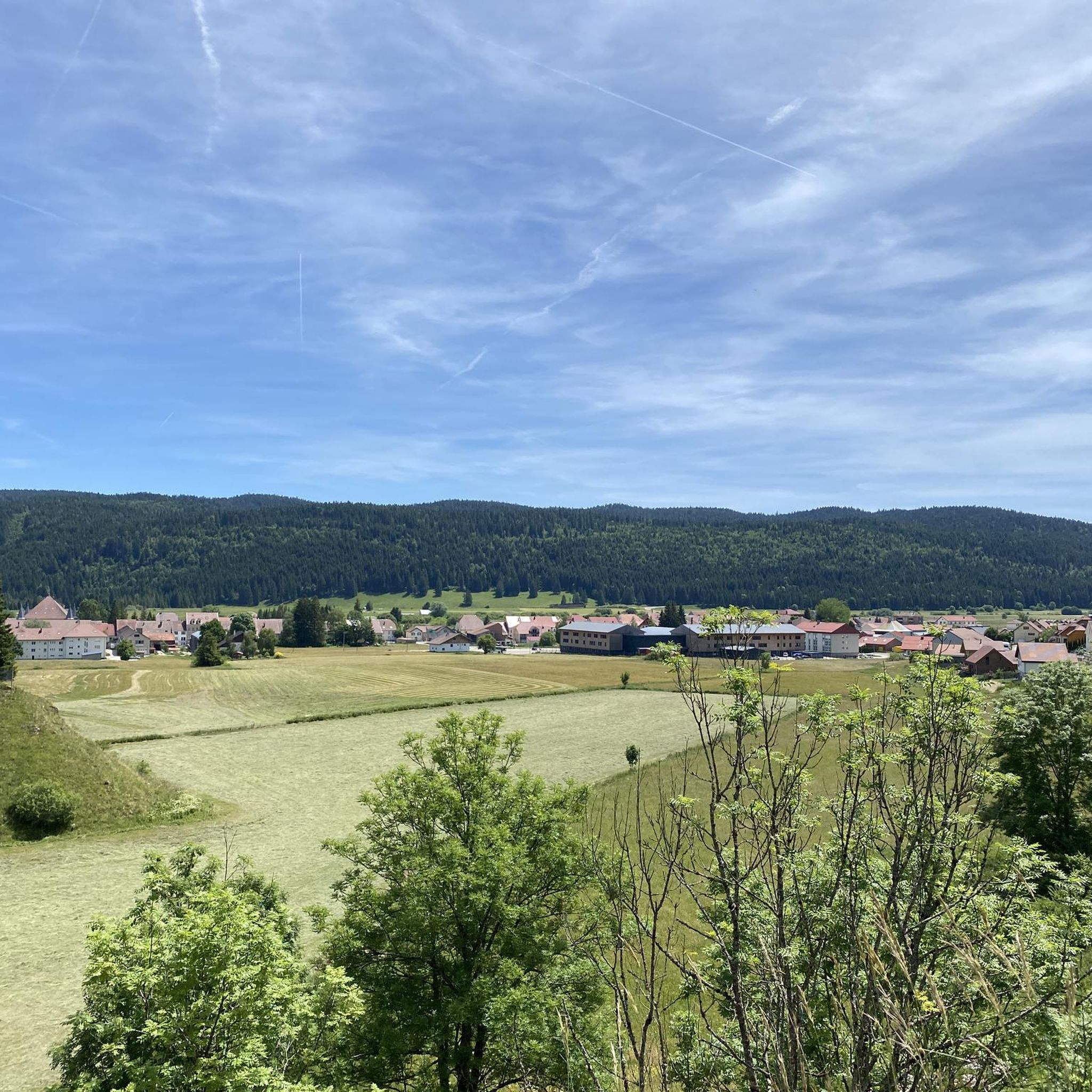
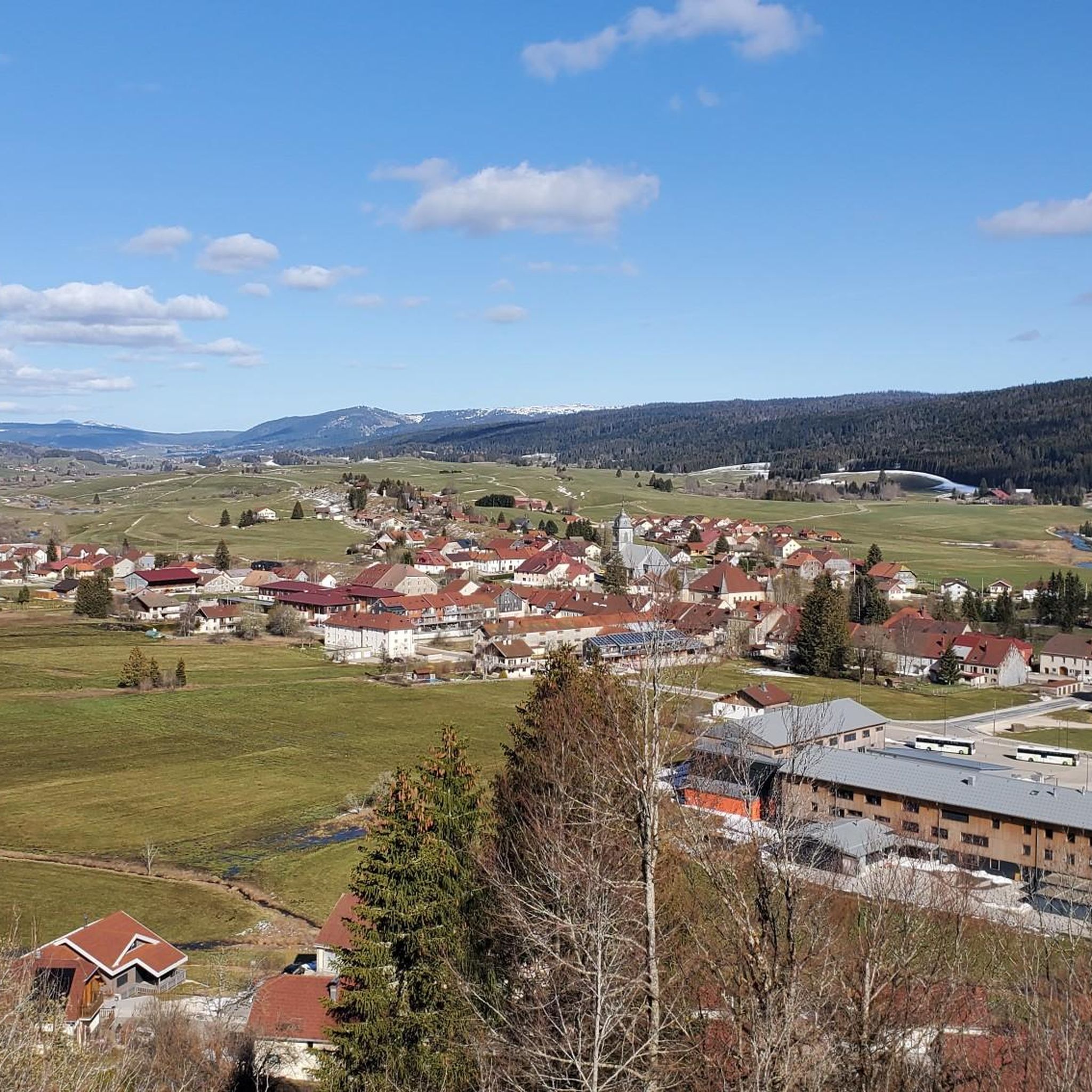
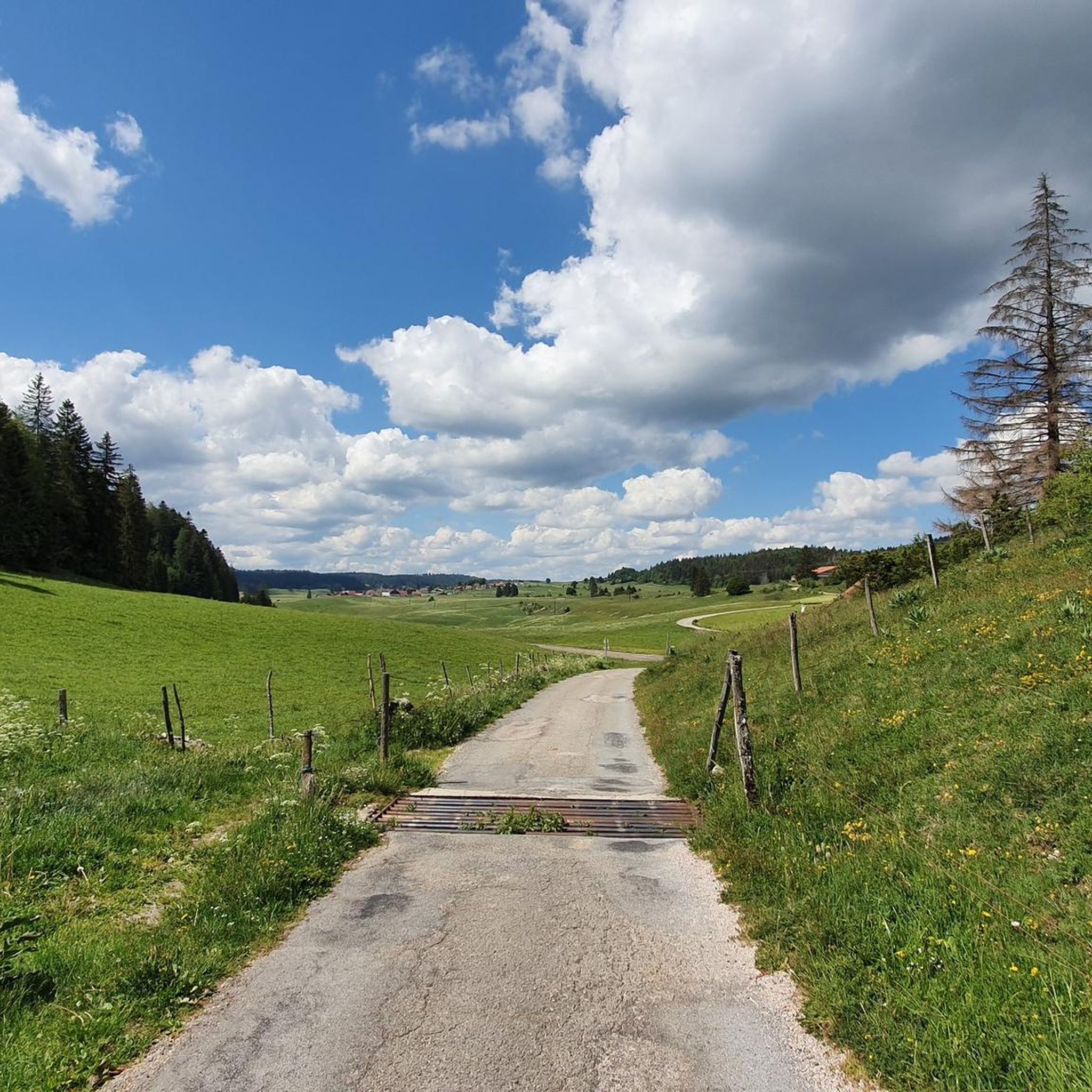
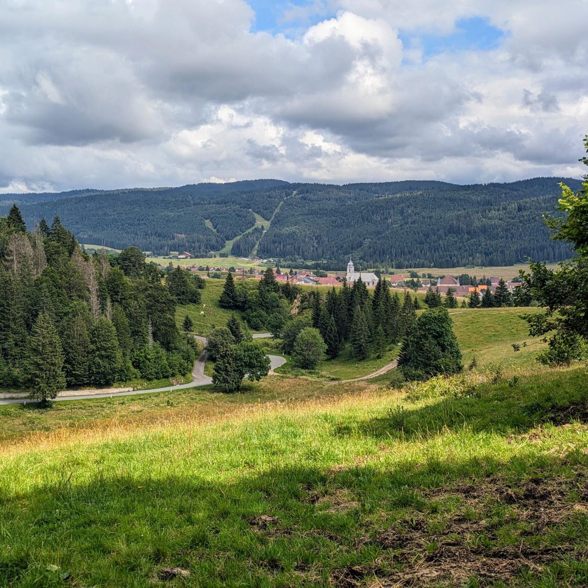
Jogging routes around Rondefontaine traverse the mountainous Franche-Comté region, characterized by its unspoilt countryside and diverse landscapes within the Haut Jura Natural Regional Park. The area features varied topography, from gentle paths through dense forests and flower-filled meadows to more challenging inclines, with altitudes ranging from 985m to 1186m. Numerous lakes and extensive woodlands, such as the Forêt de la Joux, offer scenic running opportunities within the Jura Mountains.
Best jogging routes around Rondefontaine
- The most popular jogging route is…
Last updated: July 6, 2026
24
runners
Easy run. Great for any fitness level. Mostly paved surfaces. Suitable for all skill levels.
4.5
(2)
36
runners
8.23km
00:52
30m
30m
Moderate run. Good fitness required. Mostly paved surfaces. Suitable for all skill levels.

Sign up for free
4.3
(3)
18
runners
8.58km
00:58
140m
140m
Moderate run. Good fitness required. Mostly paved surfaces. Suitable for all skill levels.
14
runners
4.81km
00:30
30m
30m
Easy run. Great for any fitness level. Mostly paved surfaces. Suitable for all skill levels.
14
runners
8.36km
00:56
130m
130m
Moderate run. Good fitness required. Mostly paved surfaces. Suitable for all skill levels.
Get access to more routes and recommendations from other explorers.
Sign up for free
Already have an account?
Our route recommendations are based on thousands of hikes, rides, and runs completed by other people on komoot.
Start today with a free account
Your next adventure awaits.
Login or Signup

Tips from the Community

Viewpoint above the Doubs source with beautiful views through a forest clearing to Mouthe and the Doubs river.
6
0
The source of the Doubs River is a powerful karst spring in a heavily karstified area of the Jura Mountains. It lies at an altitude of 937 meters at the foot of the forested, up to 1,419-meter-high Mont Risoux mountain range, which straddles the border between France and Switzerland. The Doubs River rises from a small, approximately five-meter-deep spring basin in a cave in the rock.
6
0

We did a 3-day mountain bike trip in this magnificent region, the routes are great 👍
0
0


The Moutat peatlands form one of the most important peatlands in the region. These ecosystems contain an enormous quantity of CO2 thanks to their permanent humidity, hence the importance of protecting them. To raise public awareness of these environments while making them accessible, a wooden platform was installed so that they could walk on them without trampling on them.
0
0

Take the Saut du Doubs walk at the same time
0
0
Frequently Asked Questions
How many running routes are available around Rondefontaine?
There are over 150 running routes around Rondefontaine, offering a wide variety of options for all skill levels. The region is known for its diverse landscapes within the Haut Jura Natural Regional Park.
Are there easy running routes suitable for beginners in Rondefontaine?
Yes, Rondefontaine offers several easy running routes perfect for beginners or those looking for a gentle jog. For example, the La source du Doubs — loop — running in the parc naturel régional du Haut-Jura is an easy 4.3 km trail that takes about 32 minutes to complete.
Can I find challenging long-distance running trails near Rondefontaine?
Absolutely. For experienced runners seeking a challenge, routes like Mouthe – The source of the Doubs loop from Mouthe offer a difficult 25 km path with significant elevation changes through the regional landscape.
What kind of terrain can I expect on the running routes in Rondefontaine?
The running routes in Rondefontaine traverse varied topography within the Jura Massif, from gentle paths through dense woodlands and flower-filled meadows to more challenging inclines. You'll find altitudes ranging from 985m to 1186m, providing diverse running experiences.
Are there any circular jogging routes in the Rondefontaine area?
Yes, many of the jogging routes around Rondefontaine are circular, allowing you to start and finish at the same point. A popular option is The source of the Doubs – Tourbières de Moutat loop from Mouthe, a 6.2 km trail through varied terrain.
What natural attractions can I see while running near Rondefontaine?
The region is rich in natural beauty. You can encounter sights like the Source of the Doubs, various lakes such as Lac de Saint-Point, and scenic viewpoints like Two Lakes Viewpoint. The area is also known for its forests and picturesque waterfalls like Cascade de la Billaude.
Are the running trails around Rondefontaine suitable for families?
Yes, Rondefontaine offers family-friendly running options. The region has well-marked trails, including a 6-kilometer family trail mentioned in local research, ideal for beginners and leisurely runs, often with picnic spots by lakes.
Can I bring my dog on the jogging routes in Rondefontaine?
The Rondefontaine area, being part of the Haut Jura Natural Regional Park, is generally welcoming to dogs on trails, especially if kept on a leash. It's always best to check specific trail regulations or local signage for any restrictions, particularly in protected natural areas.
What do other runners say about the trails in Rondefontaine?
The running routes in Rondefontaine are highly rated by the komoot community, with an average score of 4.2 stars from over 40 reviews. Runners often praise the unspoilt countryside, diverse landscapes, and the variety of options for different ability levels.
What is the best time of year to go running in Rondefontaine?
The region is beautiful year-round. Spring and summer offer lush green landscapes and pleasant temperatures for running through flower-filled meadows. Autumn provides stunning foliage, while winter can offer unique snow-covered routes, though some trails might require appropriate gear.
Are there options for parking near the trailheads in Rondefontaine?
While specific parking details for each trailhead are not provided, the region is well-equipped for outdoor enthusiasts. Many popular trailheads in natural parks typically have designated parking areas. It's advisable to check the starting points of individual routes on komoot for more precise parking information.
Are there any less crowded running options around Rondefontaine?
With over 150 routes available, it's possible to find less crowded options, especially outside of peak tourist times or by exploring some of the moderate to difficult trails. The vastness of the Haut Jura Natural Regional Park allows for many serene running experiences away from the busiest spots.
Most popular routes around Rondefontaine
Most popular attractions around Rondefontaine

Get inspired with the komoot mobile app


Explore more
Browse the best Running Trails & Routes in other regions.
