The best walks and hikes around Cruet
4.4
(994)
10,793
hikers
308
hikes
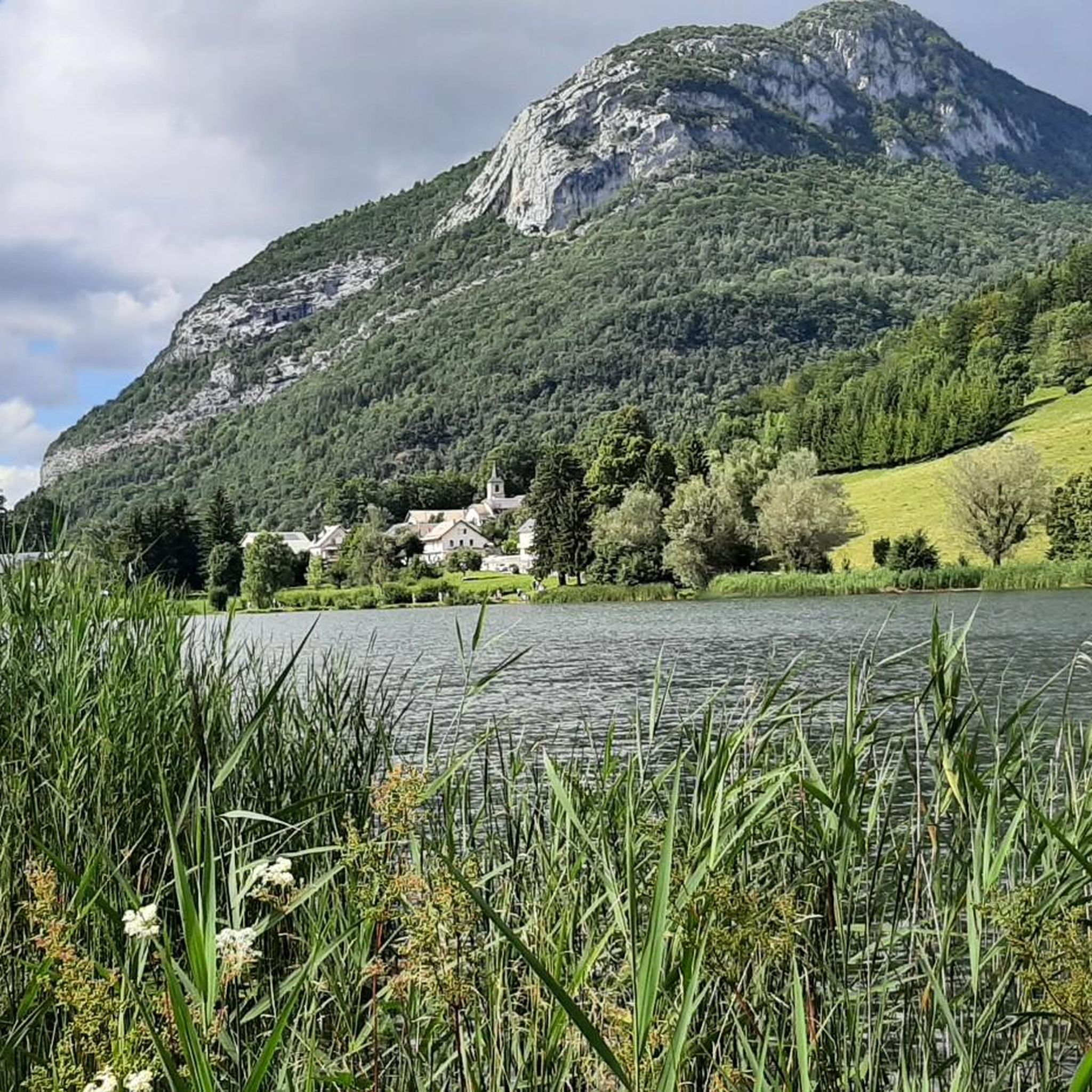
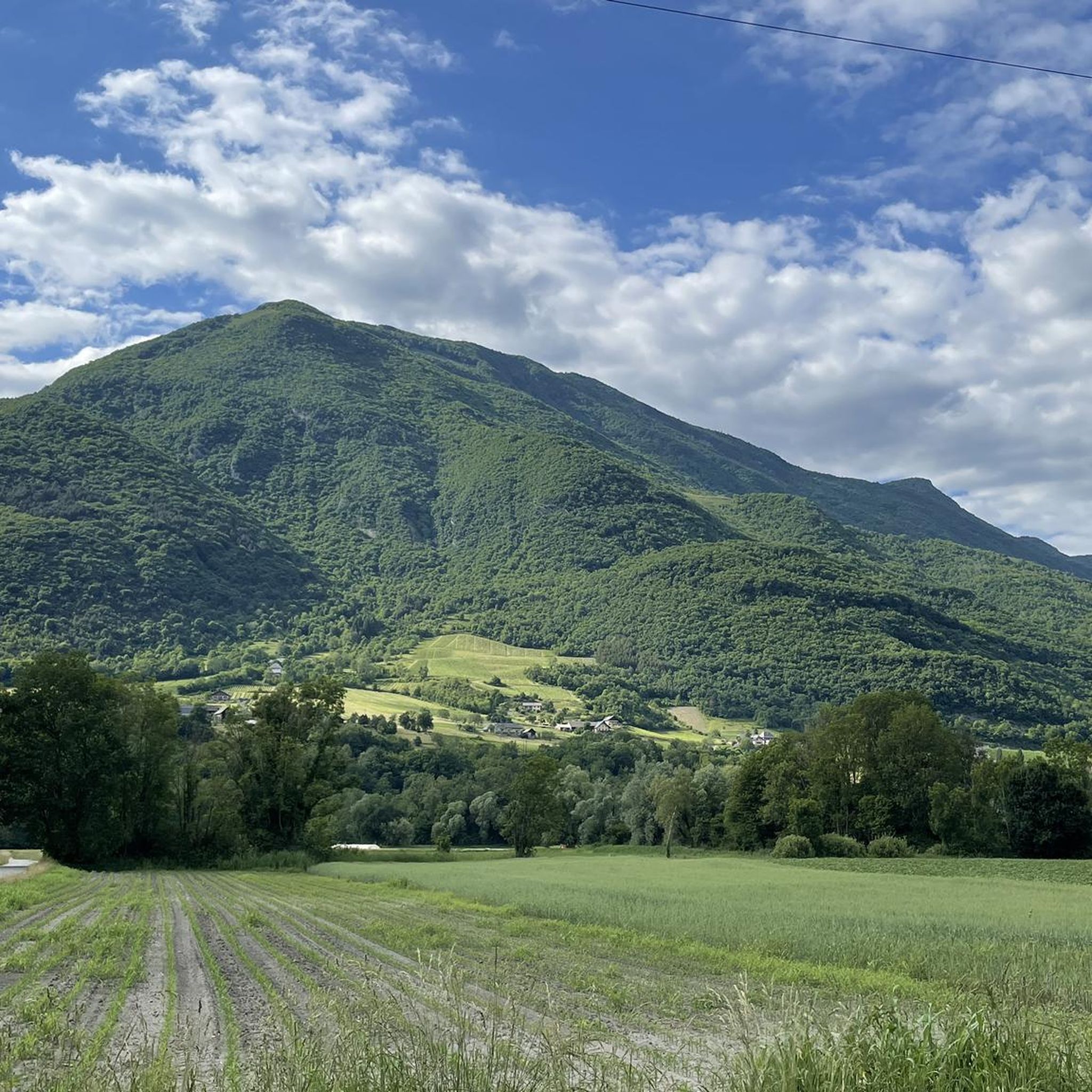
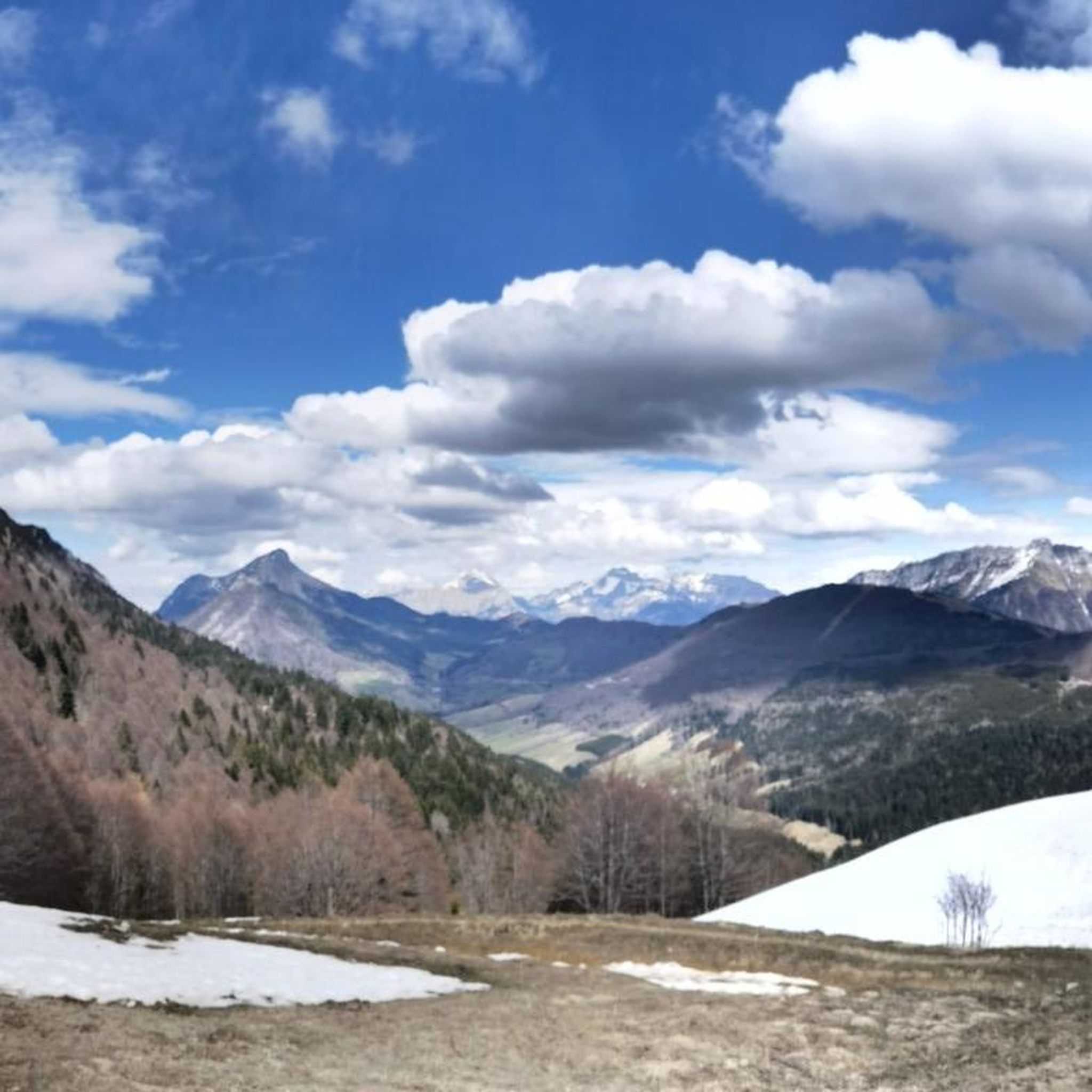
Hiking around Cruet offers access to a diverse landscape characterized by significant elevation changes, rocky outcrops, and forested paths. The region features prominent peaks and passes, indicating a mountainous or hilly terrain suitable for varied hiking experiences. Trails often lead through natural areas, providing views of the surrounding valleys and rock formations. This geographical location supports a network of routes ranging from moderate ascents to more challenging climbs.
Best hiking trails around Cruet
- The most popular hiking route is Watch…
Last updated: October 18, 2026
4.8
(10)
71
hikers
13.1km
06:21
1,010m
1,010m
Hard hike. Very good fitness required. Mostly accessible paths. Sure-footedness required.
4.0
(3)
55
hikers
14.6km
05:18
740m
740m
Hard hike. Very good fitness required. Mostly accessible paths. Sure-footedness required.

3.0
(1)
16
hikers
9.89km
03:17
330m
330m
Moderate hike. Good fitness required. Mostly accessible paths. Sure-footedness required.
11
hikers
12.5km
04:34
660m
660m
Moderate hike. Good fitness required. Mostly accessible paths. Sure-footedness required.
10
hikers
13.7km
05:23
840m
840m
Hard hike. Very good fitness required. Mostly accessible paths. Sure-footedness required.
Get access to more routes and recommendations from other explorers.
Already have an account?
Our route recommendations are based on thousands of hikes, rides, and runs completed by other people on komoot.
Start today with a free account
Your next adventure awaits.


Tips from the Community

True location of the Pass, arrival marker and sign at the summit.
1
0


gravel junction between the Marocaz pass and Aillon le jeune; a hundred meters of pushing on a steep slope
0
0

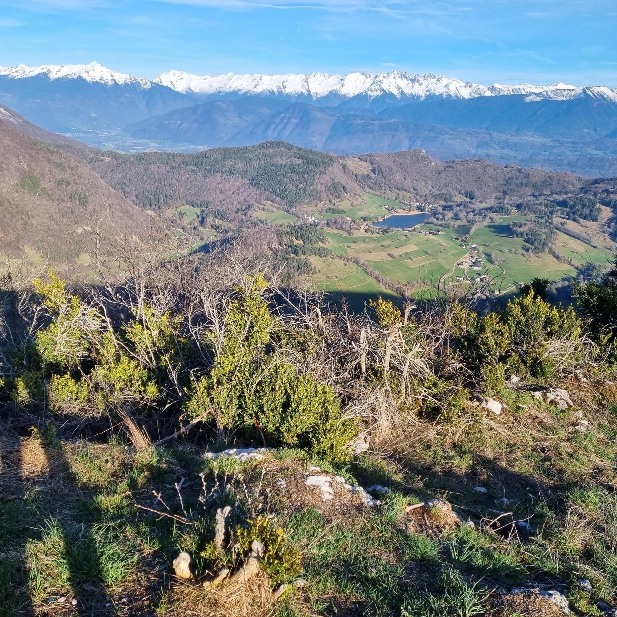
Wonderful panorama of the Bauges, the Chambéry valley and all the massifs of the Northern Alps.
0
0

A little corner of Paradise with a panoramic view of the Aillons le Jeune resort and the Chartreuse d'Aillons
0
0

To be done quietly.
0
0
Frequently Asked Questions
How many hiking trails are available around Cruet?
Cruet offers a wide selection of hiking opportunities, with over 280 routes documented. These range from easy strolls to challenging mountain ascents, ensuring options for various skill levels.
What kind of terrain can I expect when hiking in Cruet?
The terrain around Cruet is characterized by significant elevation changes, rocky outcrops, and forested paths. You'll encounter prominent peaks and passes, indicating a mountainous or hilly environment with varied landscapes and views of surrounding valleys.
Are there any easy hiking routes suitable for beginners in Cruet?
Yes, Cruet has approximately 80 easy hiking routes. While specific beginner routes aren't detailed here, these trails typically feature less elevation gain and shorter distances, making them ideal for those new to hiking or looking for a relaxed walk.
Can I find moderate hiking trails in Cruet?
Absolutely. Cruet features around 150 moderate hiking trails. An example is the Marocaz Pass – Rochefort Approach loop from Col de Marocaz, which covers about 9.9 km with a moderate elevation gain, offering a good balance of challenge and accessibility.
What are some of the natural attractions or landmarks I can see while hiking in Cruet?
The region around Cruet boasts several natural highlights. You can explore mountain passes like Marocaz Pass or Col du Frêne. There are also beautiful lakes such as Lake Saint-André and Lac de Sainte Hélène, and viewpoints like Watch Rock.
Are there any circular hiking routes around Cruet?
Yes, many routes in Cruet are designed as loops. For instance, the Pré du Tour Pass – Mount Charvet loop from Le Pray is a moderate circular hike covering about 12.7 km, offering a complete experience without retracing your steps.
What do other hikers say about the trails in Cruet?
The trails in Cruet are highly regarded by the komoot community, with an average rating of 4.4 stars from over 700 reviews. Hikers often praise the diverse terrain, challenging ascents, and the rewarding views from peaks and passes.
How long do hikes around Cruet typically take?
Hike durations vary significantly based on difficulty and distance. Shorter, easy routes might take a couple of hours, while more challenging trails like the Watch Rock – Lake La Thuile loop from Le Pray can take around 5 hours 8 minutes to complete, covering nearly 15 km.
Is Cruet a well-known hiking destination?
While 'Cruet' as a broad geographical region for outdoor activities isn't widely recognized in general web searches, the specific area referred to in this guide is clearly a popular spot for local hikers. Over 8,000 visitors have used komoot to explore its varied terrain, indicating a strong local hiking community.
Are there any particularly challenging hikes for experienced trekkers?
Experienced trekkers will find plenty of challenges. For example, the La Galoppaz Peak – Buffaz Pass loop from Col de Marocaz is a difficult 14.6 km path with substantial climbs, offering expansive views and a demanding workout.
What is the elevation gain like on trails in Cruet?
Elevation gains can be significant, reflecting the mountainous nature of the region. Difficult routes often feature over 1000 meters of ascent, such as the Watch Rock – Manettaz Rock loop from Le Pray, which has over 1000 meters of elevation gain.
Most popular attractions around Cruet

Get inspired with the komoot mobile app


Explore more
Browse the best Hikes in other regions.
