The best walks and hikes around Chalèze
4.4
(640)
4,836
hikers
410
hikes
Hiking around Chalèze offers diverse terrain for outdoor enthusiasts, characterized by its woodlands, natural springs, and proximity to the Doubs river. The village itself sits at elevations ranging from 240m to 552m, providing varied gradients for hiking. Trails often traverse the Chalèze woods, leading to features like the Arcier springs and offering views of the surrounding landscape.
Best hiking trails around Chalèze
- The most popular hiking route is La source d'Arcier — loop from Roche-lez-Beaupré, a 9.7 miles (15.7…
Last updated: June 22, 2026
4.6
(12)
31
hikers
15.7km
04:28
340m
340m
Moderate hike. Good fitness required. Mostly accessible paths. Sure-footedness required.
4.6
(21)
104
hikers
10.0km
03:09
370m
370m
Moderate hike. Good fitness required. Easily-accessible paths. Suitable for all skill levels.

Sign up for free
4.9
(7)
38
hikers
4.38km
01:12
70m
70m
Easy hike. Great for any fitness level. Easily-accessible paths. Suitable for all skill levels.
4.8
(10)
78
hikers
8.35km
02:45
380m
380m
Moderate hike. Good fitness required. Easily-accessible paths. Suitable for all skill levels.
3.5
(2)
28
hikers
8.60km
02:39
290m
290m
Moderate hike. Good fitness required. Easily-accessible paths. Suitable for all skill levels.
Get access to more routes and recommendations from other explorers.
Sign up for free
Already have an account?
Our route recommendations are based on thousands of hikes, rides, and runs completed by other people on komoot.
Start today with a free account
Your next adventure awaits.
Login or Signup
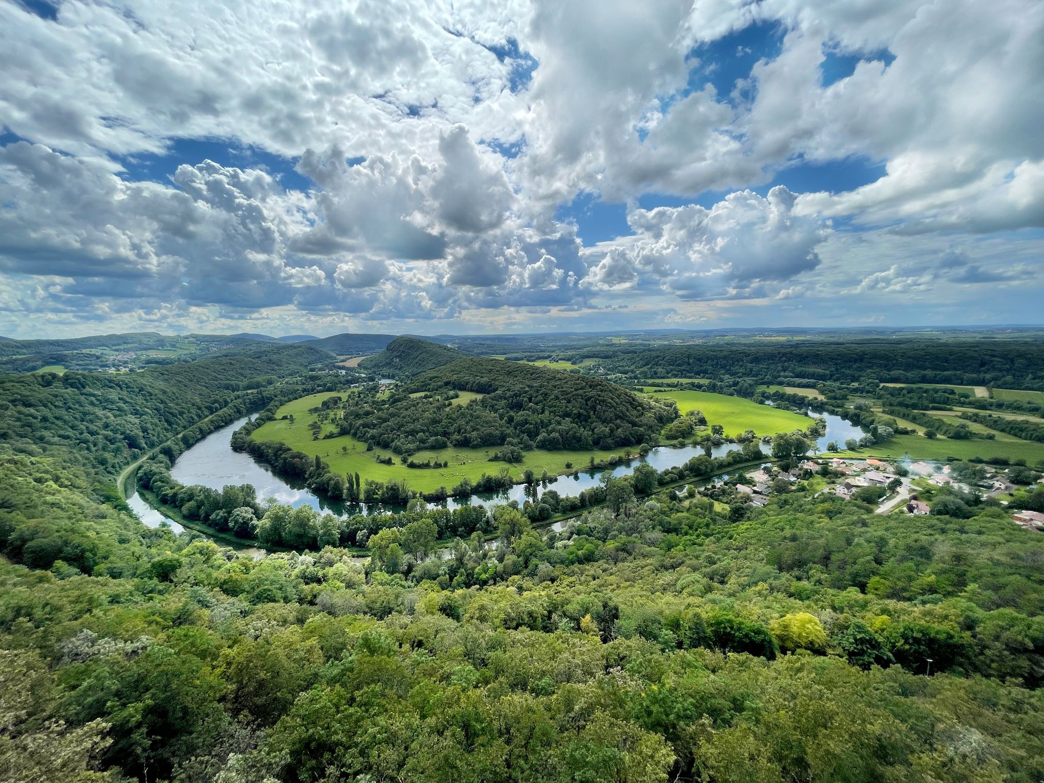
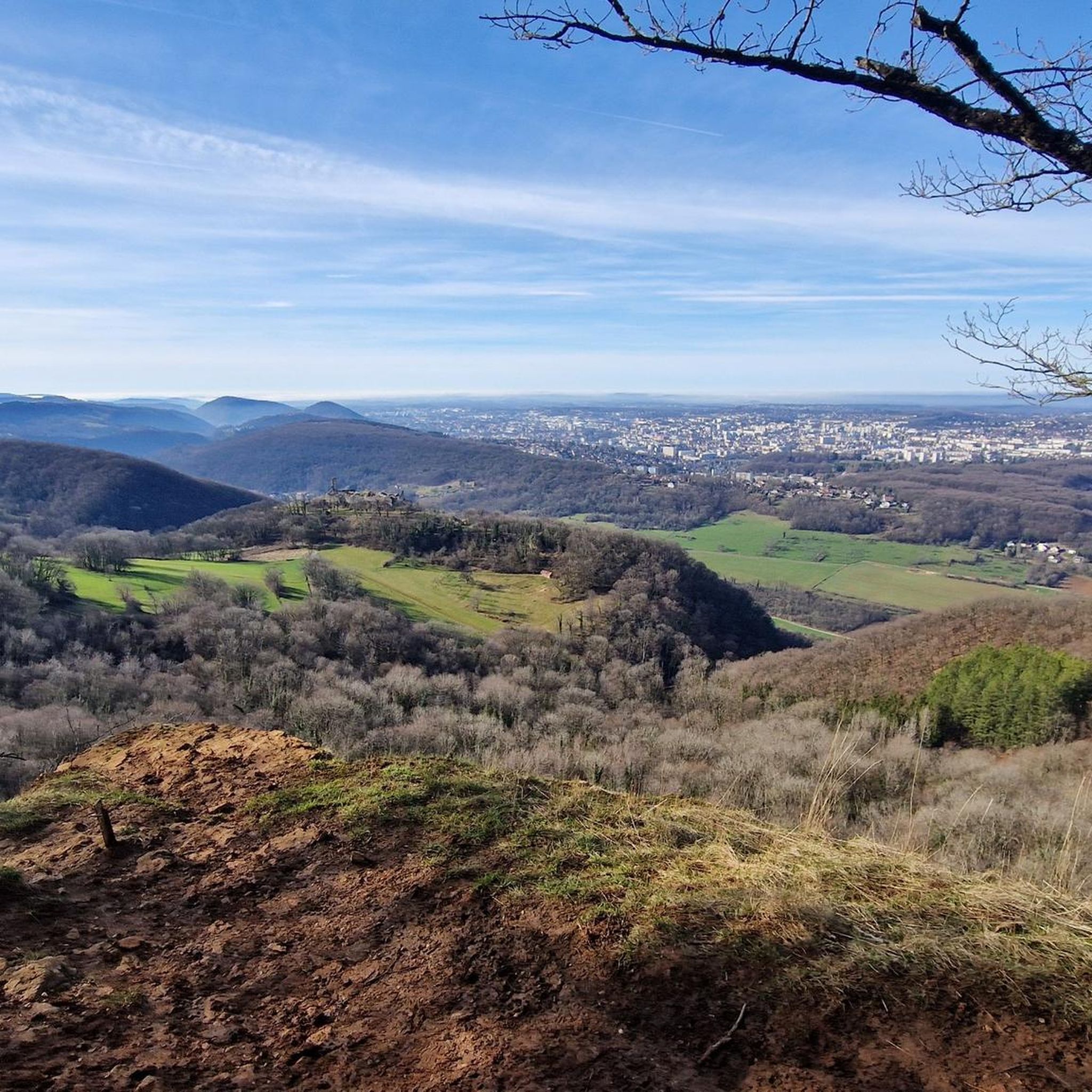
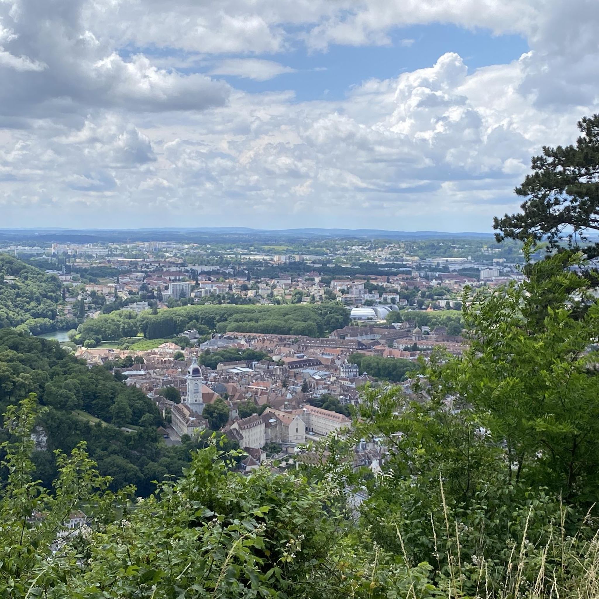
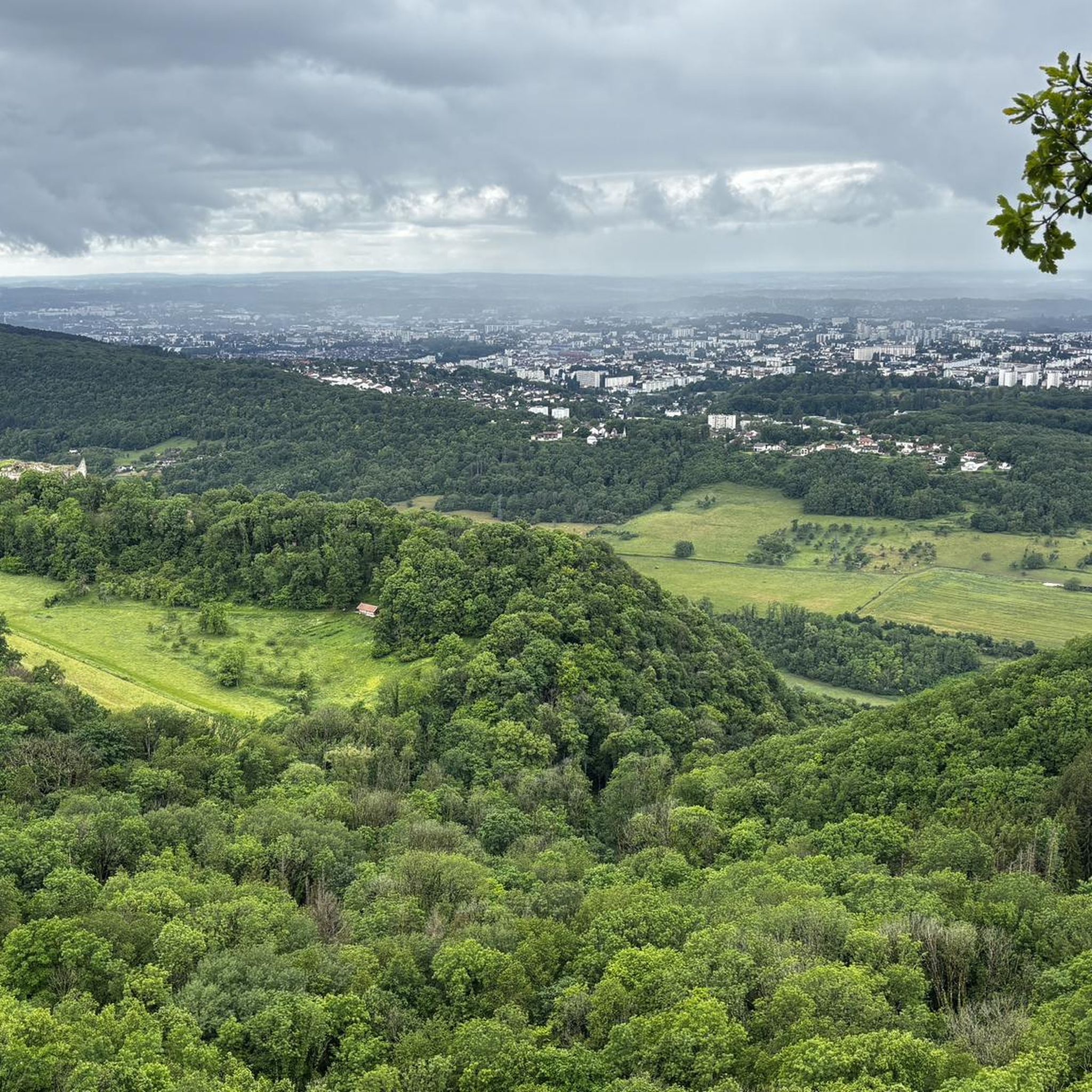
Other adventures around Chalèze

Tips from the Community

The three Arcier springs are fed by the infiltration waters of the Nancray plateau. Shortly after they gush out of the mountain in beautiful waterfalls, they come together to form the Arcier stream, which quickly flows into the Doubs. They have been known since antiquity, and supply Besançon with water via a Roman aqueduct of which remains remain. Currently, a trout fish farm benefits from its pure, fresh waters.
0
0

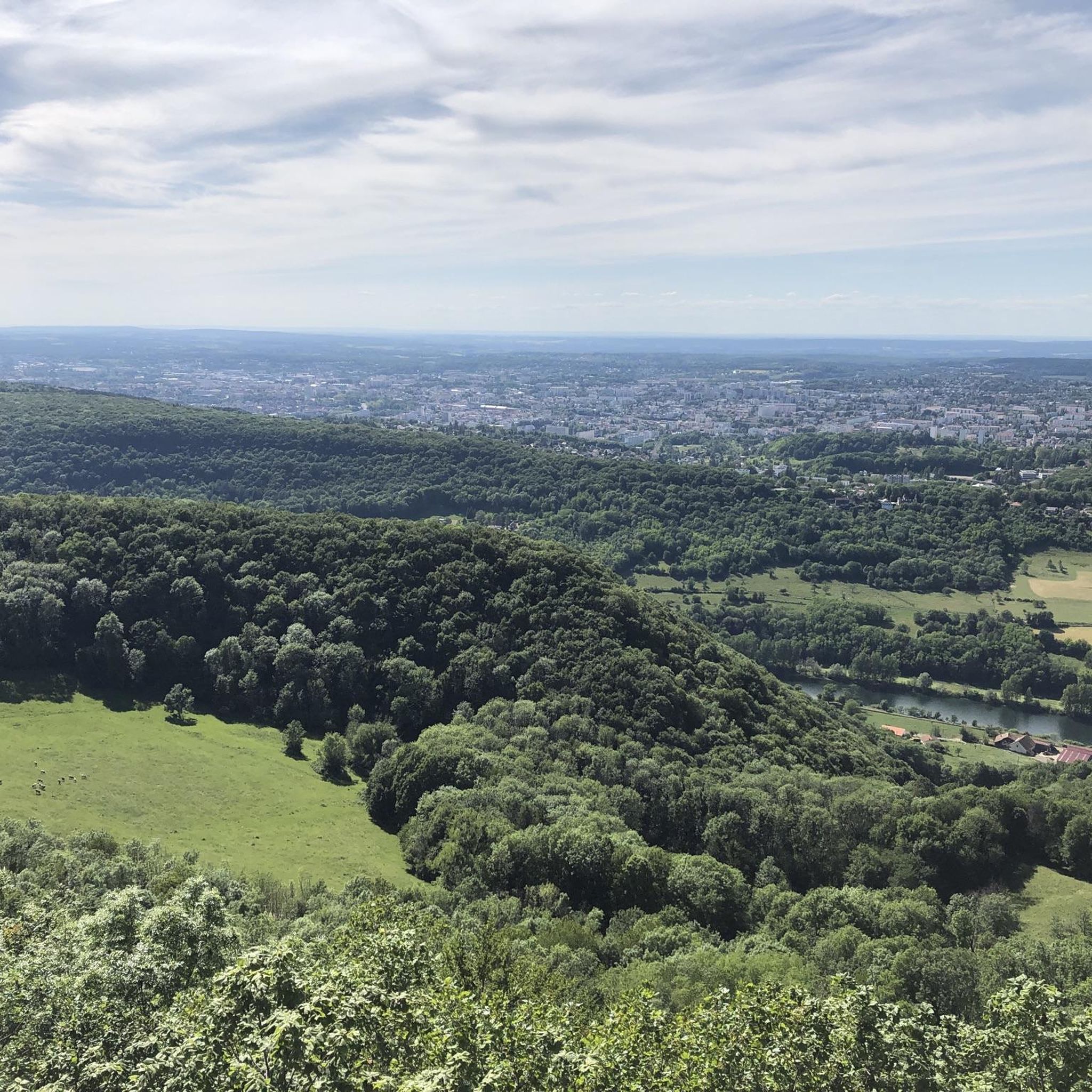
This belvedere is one of the most spectacular in the heights of Besançon. It opens a wide window onto the Doubs valley, the Citadel of Besançon and the Jura mountains. As a bonus, when the horizon clears, you can also enjoy a superb view of the Mont-Blanc range. This belvedere is also an opportunity to learn a little history since you are on the site of Fort Woirol with several observation posts and the Montfaucon redoubt.
0
0


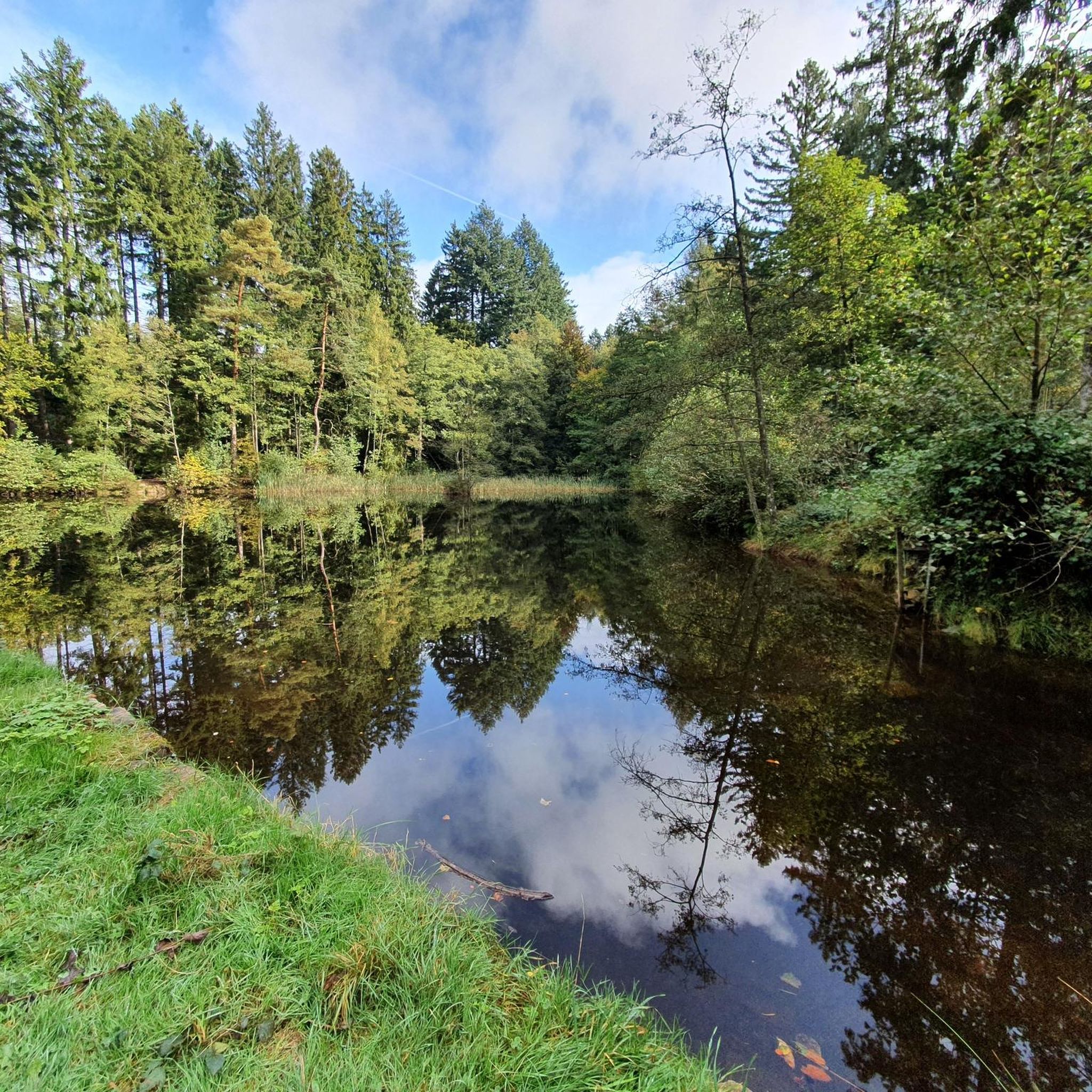
The sources of Arcier are three karstic sources resulting from a hilly circus of trees and green forests. They meet after 300 meters and flow into the Doubs. Natura 2000 site, the spring water comes from the natural drainage of the watershed of the Saône-Nancray plateau and is filtered by the Saône marshes.
2
0

This drinking trough is located at the foot of the ruins of the castle of Montfaucon. Very easily accessible on foot, by mountain bike or by Gravel.
1
0

Only ruins of this 11th century castle remain, but renovation work has preserved several interesting architectural elements. In addition, for those who have made the effort to climb up there, they will discover a beautiful landscape over Besançon and its surroundings.
1
0
Montfaucon Castle has dominated Besançon, on its rocky outcrop, since the 11th century. Of historical interest, the castle also offers the brave who have climbed up there a very beautiful panorama of the city.
1
0
The Roche-lez-Beaupré towpath runs along the Rhine-Rhône canal which separates from the Doubs to allow many boaters to go down or up the river throughout the Doubs valley. A very vegetated portion of the course. Do not hesitate to watch for Kingfishers along the banks. You will find along the way a small authentic bistro to stop by the water and enjoy the view.
1
0
Frequently Asked Questions
How many hiking trails are available around Chalèze?
There are over 380 hiking routes in and around Chalèze, catering to various skill levels. You'll find a good mix of easy, moderate, and challenging trails to explore the region's diverse landscapes.
What kind of terrain can I expect on hikes around Chalèze?
Hikes around Chalèze feature diverse terrain, including dense woodlands, natural springs, and riverside paths along the Doubs River. The village itself ranges from 240m to 552m in altitude, so you can expect varied gradients from gentle slopes to more challenging ascents.
Are there easy, family-friendly hiking options in Chalèze?
Yes, Chalèze offers many easy routes suitable for families. For instance, the Montfaucon Viewpoint loop from Gennes is an easy 4.4 km trail that can be completed in just over an hour, offering varied terrain and views.
Are there any challenging hikes for experienced trekkers?
While many trails are moderate, Chalèze does offer some more challenging options. There are 36 difficult routes available for experienced hikers looking for a greater physical test and more significant elevation changes.
What natural attractions can I discover on a hike near Chalèze?
Many trails lead through the beautiful Chalèze Woods to the Arcier Springs, a significant natural feature. You can also find routes that incorporate the scenic Doubs River. Further afield, within a reasonable distance, are natural wonders like the Gouffre de Poudrey, Gorges de Remonot, and Défilé d'Entre-Roches.
Are there historical sites or landmarks to see while hiking?
Absolutely. Some routes pass by historical fortifications like the Fort des Épesses and the Batteries des Epesses et des Rattes. The nearby city of Besançon, just 6 km away, is home to the impressive Citadel of Besançon, a UNESCO World Heritage site, which can be combined with a longer hiking excursion.
Can I hike along the Doubs River?
Yes, several walking routes around Chalèze incorporate a return journey along the Doubs River, often utilizing its cycle path. This provides scenic riverside views and a different perspective of the landscape. Look for routes that mention the Doubs River in their description.
Are there any circular hiking routes in Chalèze?
Many of the trails around Chalèze are designed as loops, offering varied scenery without retracing your steps. Examples include the La source d'Arcier — loop from Roche-lez-Beaupré and the Arcier Springs loop from Chalezeule.
What is the best time of year to go hiking in Chalèze?
Chalèze offers pleasant hiking conditions throughout much of the year. Spring and autumn provide mild temperatures and beautiful foliage, while summer is ideal for enjoying the woodlands and riverside paths. Always check local weather conditions before heading out.
Is Chalèze accessible by public transport for hikers?
Chalèze benefits from its proximity to Besançon, which is well-connected by public transport. While direct public transport options to specific trailheads in Chalèze might be limited, reaching Besançon first and then using local services or a short taxi ride to Chalèze is a viable option for many hikers.
Where can I find parking for hiking trails in Chalèze?
Parking is generally available in and around the village of Chalèze, as well as at common starting points for popular trails. It's advisable to check the specific tour details on komoot for information on designated parking areas near your chosen trailhead.
Are dogs allowed on the hiking trails around Chalèze?
Generally, dogs are welcome on most hiking trails in the Chalèze region, provided they are kept under control, especially in areas with livestock or wildlife. Please ensure you follow local regulations, keep your dog on a leash where required, and clean up after them.
What do other hikers say about the trails in Chalèze?
The hiking trails in Chalèze are highly rated by the komoot community, with an average score of 4.5 stars from over 600 reviews. Hikers often praise the quiet woodlands, the beauty of the Arcier Springs, and the well-maintained paths that offer a great outdoor experience.
Most popular attractions around Chalèze

Get inspired with the komoot mobile app


Explore more
Browse the best Hikes in other regions.
