The best walks and hikes around Saint-Genès-Du-Retz
4.4
(80)
424
hikers
49
hikes
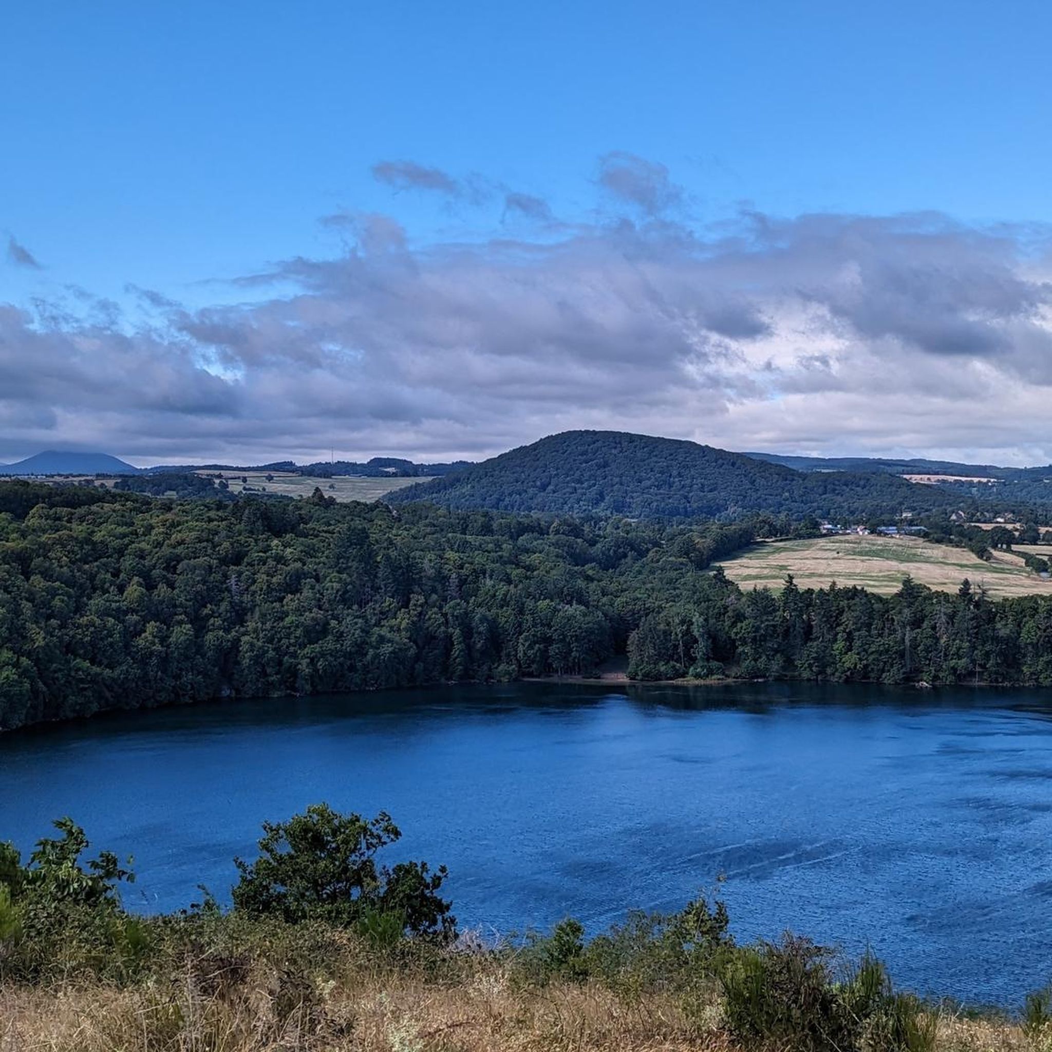
Hiking around Saint-Genès-Du-Retz offers diverse and peaceful landscapes, characterized by tranquil, hilly terrain. The region features a mix of wooded areas and plains, with the Toulaine River flowing through. The landscape also bears historical and agricultural traces, providing varied scenery for exploration.
Best hiking trails around Saint-Genès-Du-Retz
- The most popular hiking route is Château de la Roche loop from Aigueperse, a 6.1 miles (9.9 km) trail that takes 2 hours 48 minutes to complete. This moderate route features varied…
Last updated: July 11, 2026
4.2
(6)
40
hikers
13.0km
03:37
240m
240m
Moderate hike. Good fitness required. Easily-accessible paths. Suitable for all skill levels.
4.6
(7)
25
hikers
9.53km
02:40
190m
190m
Moderate hike. Good fitness required. Easily-accessible paths. Suitable for all skill levels.

Sign up for free
4.0
(1)
11
hikers
6.73km
01:51
110m
110m
Easy hike. Great for any fitness level. Easily-accessible paths. Suitable for all skill levels.
5.0
(1)
5
hikers
14.8km
04:03
220m
220m
Moderate hike. Good fitness required. Easily-accessible paths. Suitable for all skill levels.
5.0
(1)
6
hikers
8.33km
02:13
90m
90m
Moderate hike. Good fitness required. Easily-accessible paths. Suitable for all skill levels.
Get access to more routes and recommendations from other explorers.
Sign up for free
Already have an account?
Our route recommendations are based on thousands of hikes, rides, and runs completed by other people on komoot.
Start today with a free account
Your next adventure awaits.
Login or Signup




Tips from the Community

To discover before tackling a nice little kilometer-long climb. Not sure if you can cross the stream in winter. Nice MTB single track afterwards
0
0
Wonderful church, with its war memorial next to it
0
0

Stately church with wonderful stained-glass windows
0
0
Superb view of the Puy de Dôme, the Sancy, and the Livradois-Forez mountains
0
0
13th feudal castle, magnificent view of the Puy et Sancy chain in the distance
0
0
Frequently Asked Questions
How many hiking trails are available in Saint-Genès-Du-Retz?
There are over 30 hiking routes around Saint-Genès-Du-Retz, offering a variety of experiences. These include 10 easy routes, 20 moderate routes, and 3 more challenging options, ensuring something for every skill level.
What kind of terrain can I expect on hikes in Saint-Genès-Du-Retz?
The region is characterized by its tranquil, hilly terrain, featuring a mix of wooded areas and open plains. You'll find paths that trace historical and agricultural landscapes, sometimes following the Toulaine River, providing diverse scenery for your walks.
Are there any easy, family-friendly hikes in Saint-Genès-Du-Retz?
Yes, Saint-Genès-Du-Retz offers 10 easy routes suitable for families or those looking for a relaxed walk. An example is the Church of the Holy Cross, Gannat loop from Gannat, which is 6.9 km long and takes less than two hours to complete.
Can I find circular hiking routes in the area?
Many of the trails in Saint-Genès-Du-Retz are circular, allowing you to start and end at the same point. For instance, the Château de la Roche loop from Aigueperse and the Panoramic view loop from Vensat are popular moderate circular options.
What historical landmarks or natural features can I see while hiking?
The landscape of Saint-Genès-Du-Retz is rich in history. You might encounter traces of pre-Roman and Gallo-Roman occupation, ancient woods, and agricultural heritage. Specific attractions nearby include the Randan Royal Estate and Château d'Effiat. The region research also mentions a 15th-century castle and a menhir along the 'La pierre sanglante' trail, which is a local highlight.
What do other hikers say about the trails in Saint-Genès-Du-Retz?
The hiking trails in Saint-Genès-Du-Retz are highly regarded by the komoot community, with an average rating of 4.3 out of 5 stars from over 60 reviews. Hikers often praise the peaceful landscapes, varied terrain, and the opportunity to explore both natural beauty and historical elements.
Are there any hikes with panoramic views?
Yes, the region offers trails with expansive views. The Panoramic view loop from Vensat is a moderate 9.5 km path specifically known for its scenic vistas across the surrounding countryside. Another option is the 360° view loop from Montpensier.
What is the best time of year to go hiking in Saint-Genès-Du-Retz?
While specific seasonal recommendations aren't provided, the diverse and peaceful landscapes, with a mix of wooded areas and plains, suggest that spring and autumn would be ideal for comfortable temperatures and vibrant scenery. Summer offers longer daylight hours, and winter can provide a different, serene experience, though conditions may vary.
Are there any trails that feature water elements like rivers or waterfalls?
The Toulaine River is a natural feature of the area, and some trails may follow its course. The Auvergne volcanoes – Lots of water today loop from Saint-Agoulin is a moderate 12.6 km trail that hints at water features within its varied landscapes.
Are there any bridges or viaducts to see on the hikes?
Yes, the area features interesting architectural structures. You can find the Viaduc de Neuvial and the Ébreuil Bridge over the Sioule among the nearby attractions, which might be incorporated into or viewed from certain hiking routes.
What is the typical elevation gain on hikes in Saint-Genès-Du-Retz?
The region features hilly terrain, so elevation gains are common but generally manageable. For example, the Château de la Roche loop from Aigueperse has an elevation gain of approximately 219 meters, while the Panoramic view loop from Vensat has about 186 meters of ascent.
Most popular routes around Saint-Genès-Du-Retz
Most popular attractions around Saint-Genès-Du-Retz

Get inspired with the komoot mobile app


Explore more
Browse the best Hikes in other regions.
