The best walks and hikes around Teillet-Argenty
4.4
(292)
1,733
hikers
136
hikes
Hiking around Teillet-Argenty offers diverse landscapes within France's Auvergne-Rhône-Alpes region. The area features the steep-sided Gorges du Cher, providing a wild environment with varied flora and fauna. Hikers can explore bocage countryside, characterized by small fields and hedgerows, alongside numerous forests and ponds. The region's topography includes rolling hills, valleys, and plateaus, contributing to a range of hiking experiences.
Best hiking trails around Teillet-Argenty
- The most popular hiking route is At the confluence of the Cher and the Tardes –…
Last updated: August 21, 2026
4.3
(8)
20
hikers
11.6km
03:09
170m
160m
Moderate hike. Good fitness required. Easily-accessible paths. Suitable for all skill levels.
5.0
(4)
28
hikers
5.62km
01:34
110m
110m
Easy hike. Great for any fitness level. Easily-accessible paths. Suitable for all skill levels.

Sign up for free
5.0
(2)
26
hikers
7.50km
02:02
110m
110m
Moderate hike. Good fitness required. Easily-accessible paths. Suitable for all skill levels.
3.4
(11)
40
hikers
Easy hike. Great for any fitness level. Easily-accessible paths. Suitable for all skill levels.
4.3
(12)
33
hikers
Moderate hike. Good fitness required. Easily-accessible paths. Suitable for all skill levels.
Get access to more routes and recommendations from other explorers.
Sign up for free
Already have an account?
Our route recommendations are based on thousands of hikes, rides, and runs completed by other people on komoot.
Start today with a free account
Your next adventure awaits.
Login or Signup

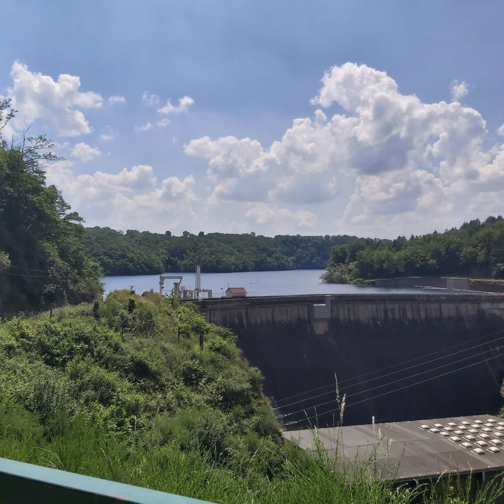
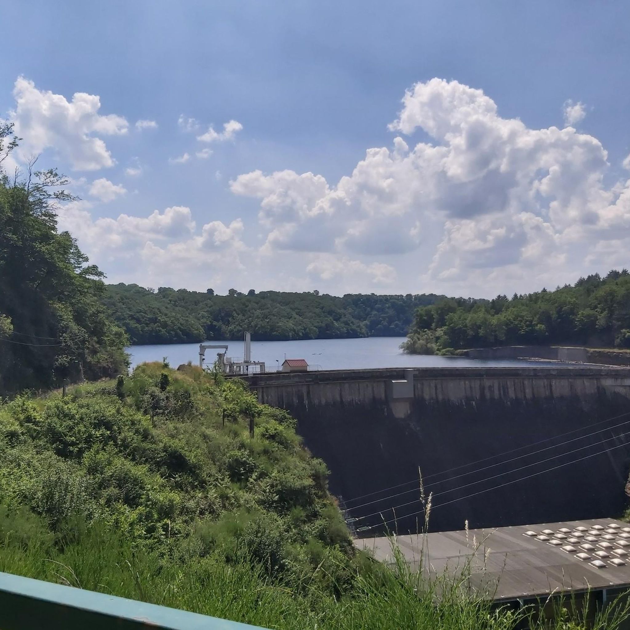
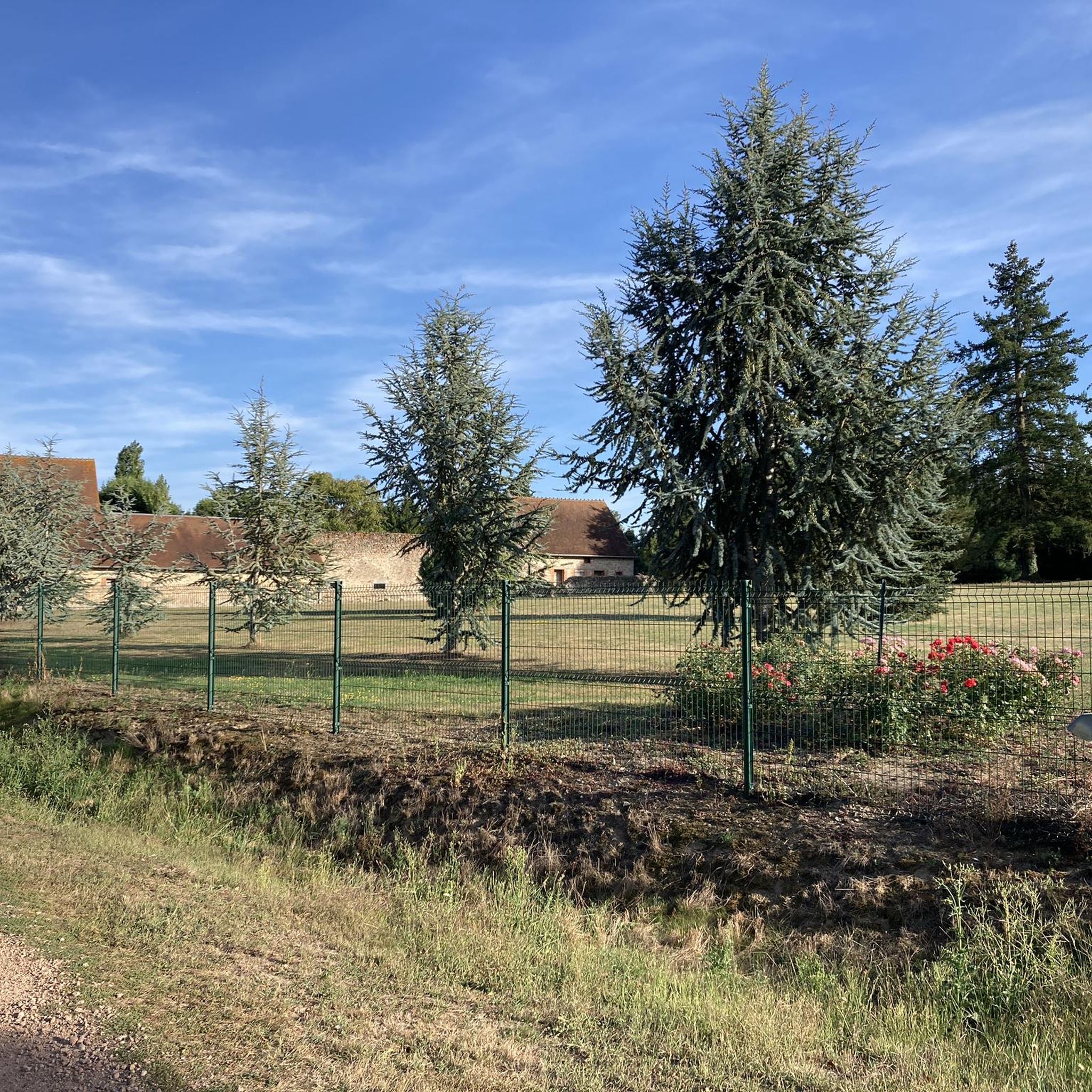

Tips from the Community

The hike can no longer be done as a circular tour. The dam across which the river is to be crossed is interrupted. So we had to go back the same way. it was a beautiful hike nonetheless
0
0

Very beautiful hike. A bit technical in places, especially on the rocks, but it's very doable. Very beautiful views, magnificent.
0
0
Hiking can see not at all marked if we do not know the area we can quickly get lost but very beautiful landscape
0
0

Great ride, but big descent and obviously big climb, be well equipped.
1
0


Walkway over a river with beautiful views.
1
0

The bridge offers stunning views of the river and surrounding cliffs, where the ruins of Bear Castle can be seen.
1
0
Frequently Asked Questions
How many hiking trails are available in Teillet-Argenty?
Teillet-Argenty offers a wide selection of hiking opportunities, with over 119 trails recorded on komoot. These routes cater to various preferences, including 42 easy trails, 71 moderate routes, and 6 more challenging options.
What kind of terrain can I expect when hiking in Teillet-Argenty?
The terrain in Teillet-Argenty is quite diverse, characterized by the dramatic Gorges du Cher, picturesque bocage countryside with small fields and hedgerows, and extensive forests like the Forêt Sectionale de Coursage. You'll encounter rolling hills, valleys, and plateaus, offering a mix of natural environments from riverine paths to wooded trails.
What natural features or landmarks can I see along the hiking trails in Teillet-Argenty?
Hikers can explore a variety of natural and historical features. Key attractions include the impressive Gorges du Cher, the tranquil Cournauron pond, and the scenic Suspension bridge over the Cher River. Many trails also pass through charming bocage landscapes and dense forests.
Are there any historical points of interest to discover while hiking in Teillet-Argenty?
Yes, the region is rich in history. You might encounter remnants of past activities such as old charcoal kilns, vestiges of a Spanish refugee camp from WWII, or ancient Roman bridges. The Sainte-Radegonde Chapel – Suspension bridge loop from Entraigues, for example, passes by the historic Sainte-Radegonde Chapel.
What do other hikers say about the trails in Teillet-Argenty?
The hiking routes in Teillet-Argenty are highly regarded by the komoot community, holding an average rating of 4.4 stars from over 240 reviews. Hikers often praise the varied terrain, the beauty of the Gorges du Cher, and the well-maintained paths that offer a mix of natural and historical sights.
Are there easy hiking trails suitable for beginners in Teillet-Argenty?
Absolutely. Teillet-Argenty offers 42 easy trails, perfect for beginners or those seeking a relaxed walk. An example is the Sainte-Radegonde Chapel – Suspension bridge loop from Entraigues, an easy 3.5-mile (5.6 km) path that provides scenic views without significant elevation gain.
Can I find circular hiking routes in Teillet-Argenty?
Yes, many of the trails in Teillet-Argenty are designed as circular routes, allowing you to start and end at the same point. Popular options include At the confluence of the Cher and the Tardes – loop and the Suspension bridge – Sainte-Radegonde Chapel loop from Richeboeuf.
Is Teillet-Argenty suitable for family hikes?
Yes, the region is well-suited for family hikes, especially with its numerous easy and moderate trails. The diverse landscapes, including forests and ponds, provide engaging environments for children. Routes like the Suspension bridge over the Cher River – Suspension bridge over the Cher loop from Lignerolles are shorter and offer interesting features like the suspension bridge.
Are the hiking trails in Teillet-Argenty dog-friendly?
Many trails in Teillet-Argenty are generally dog-friendly, allowing you to enjoy the natural beauty with your canine companion. However, it's always recommended to keep dogs on a leash, especially in areas with livestock or protected wildlife, and to check local signage for any specific restrictions.
What is the best time of year to go hiking in Teillet-Argenty?
The spring and autumn months are generally ideal for hiking in Teillet-Argenty. Spring brings blooming flora and mild temperatures, while autumn offers vibrant foliage and comfortable conditions. Summer can also be pleasant, particularly in the shaded forest areas, but it's advisable to start early to avoid the midday heat.
Is parking available at the trailheads in Teillet-Argenty?
Parking is typically available near the starting points of many popular hiking trails and in the villages surrounding Teillet-Argenty. While specific parking details vary by route, you can often find designated areas or roadside parking in rural settings.
Can I reach hiking areas in Teillet-Argenty using public transport?
Public transport options directly to specific trailheads in Teillet-Argenty can be limited due to its rural nature. It is generally recommended to use a car to access the most convenient starting points for hikes. Some larger towns in the Auvergne-Rhône-Alpes region may offer bus services, but connections to smaller villages might require planning.
Most popular routes around Teillet-Argenty
Most popular attractions around Teillet-Argenty

Get inspired with the komoot mobile app


Explore more
Browse the best Hikes in other regions.
