The best running trails around Bertrichamps
4.4
(40)
1,813
runners
148
runs
Jogging around Bertrichamps offers a diverse landscape for runners. The region is characterized by its forested hills, prominent rock formations like the Roches de Faucompierre, and tranquil lake areas such as Lac de la Plaine. Elevation changes are common, providing varied challenges across its trails.
Best jogging routes around Bertrichamps
- The most popular jogging route is The Calling Stone – View from the Roches de Faucompierre loop from Raon-l'Étape, a 13.6 miles (22.0 km) trail that takes 2 hours…
Last updated: June 24, 2026
4.3
(4)
124
runners
Hard run. Very good fitness required. Mostly paved surfaces. Suitable for all skill levels.
40
runners
25.6km
02:44
200m
200m
Hard run. Very good fitness required. Mostly paved surfaces. Suitable for all skill levels.

Sign up for free
42
runners
18.2km
02:36
790m
790m
Hard run. Very good fitness required. Mostly paved surfaces. Suitable for all skill levels.
4.4
(5)
34
runners
8.08km
00:52
90m
90m
Moderate run. Good fitness required. Mostly paved surfaces. Suitable for all skill levels.
5.0
(1)
8
runners
11.3km
01:25
290m
290m
Moderate run. Good fitness required. Mostly paved surfaces. Suitable for all skill levels.
Get access to more routes and recommendations from other explorers.
Sign up for free
Already have an account?
Our route recommendations are based on thousands of hikes, rides, and runs completed by other people on komoot.
Start today with a free account
Your next adventure awaits.
Login or Signup

Tips from the Community

La Pierre d'Appel is located in the Côte de Repy, above Etival Clairefontaine and offers a view of both the Meurthe valley up to St Dié and the Rabodeau valley.
0
0

Tête de Répy is one of the many wooded peaks in the Madeleine massif. Well known to hikers, it offers beautiful views over the Meurthe valley and the Vosges mountains.
0
0
The Pierre d’Appel is a rock located on the Madeleine massif, above Saint-Dié-des-Vosges. It was once used as a gathering place and signal point, hence its name. This promontory offers a beautiful view over the Meurthe valley while being situated in a typical Vosges forest environment, peaceful and steeped in local traditions.
0
0


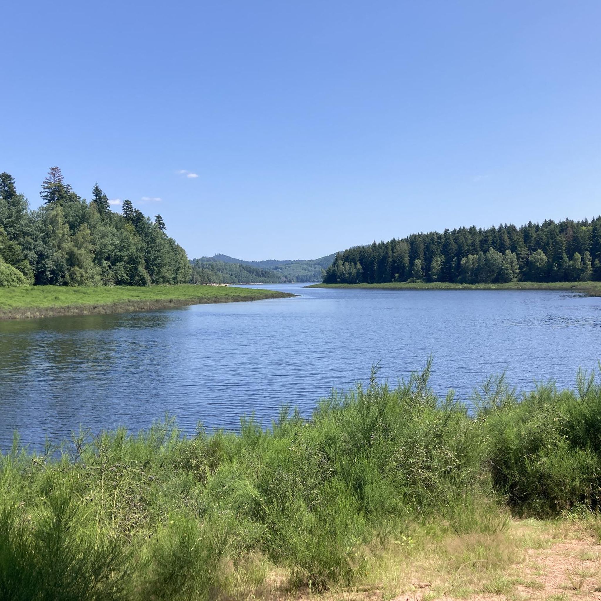
Situated in the heart of the Vosges, this dam, together with Lac de la Plaine, forms an important water reservoir. The dam was built to feed Lac de Pierre-Percée via an underground system. The climb up to it is gradual and rewards you with a view of the peaceful Lac de la Plaine. The road along the lake is ideal for a breather, with little traffic and lots of nature. Perfect for a short break or a photo opportunity during your ride.
9
0
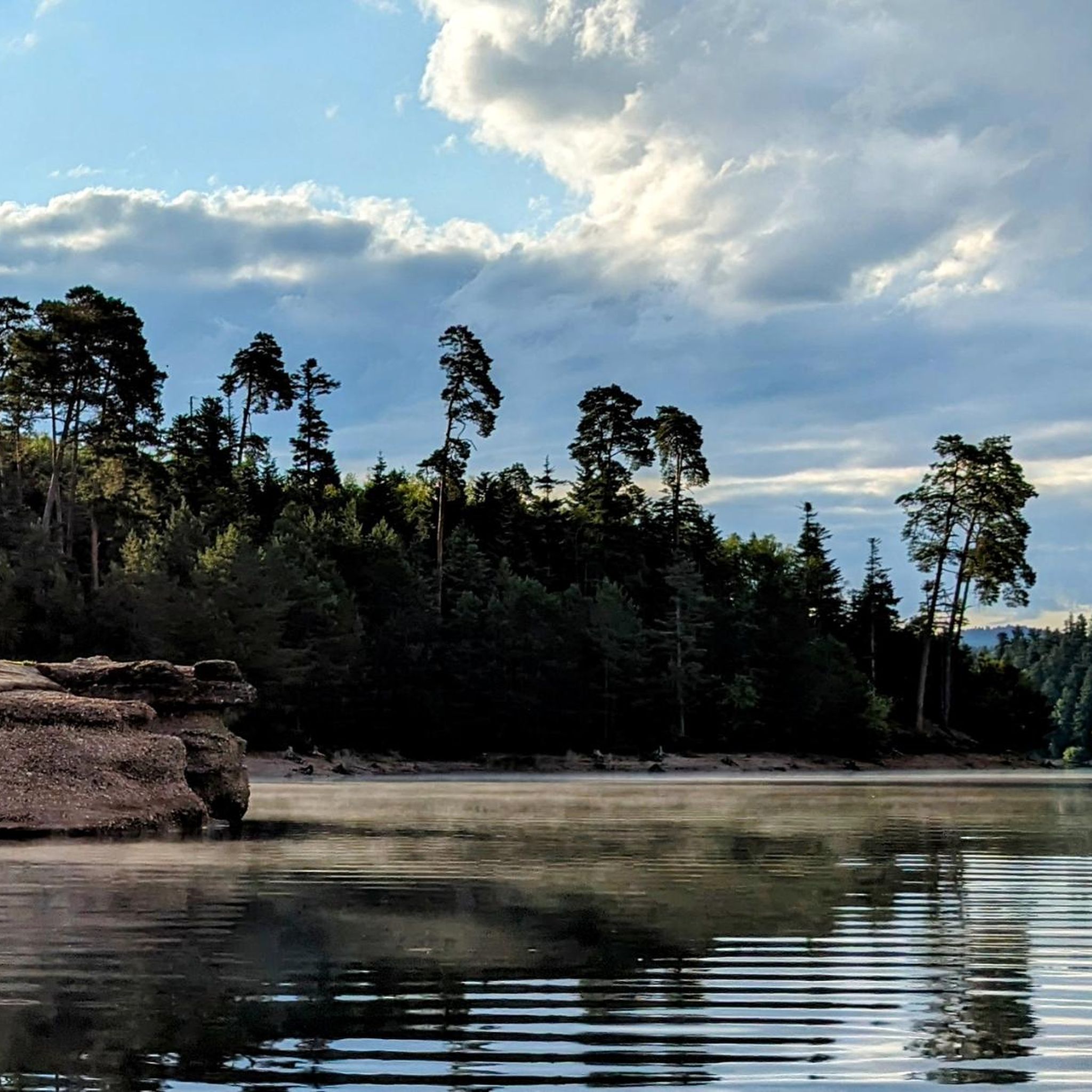
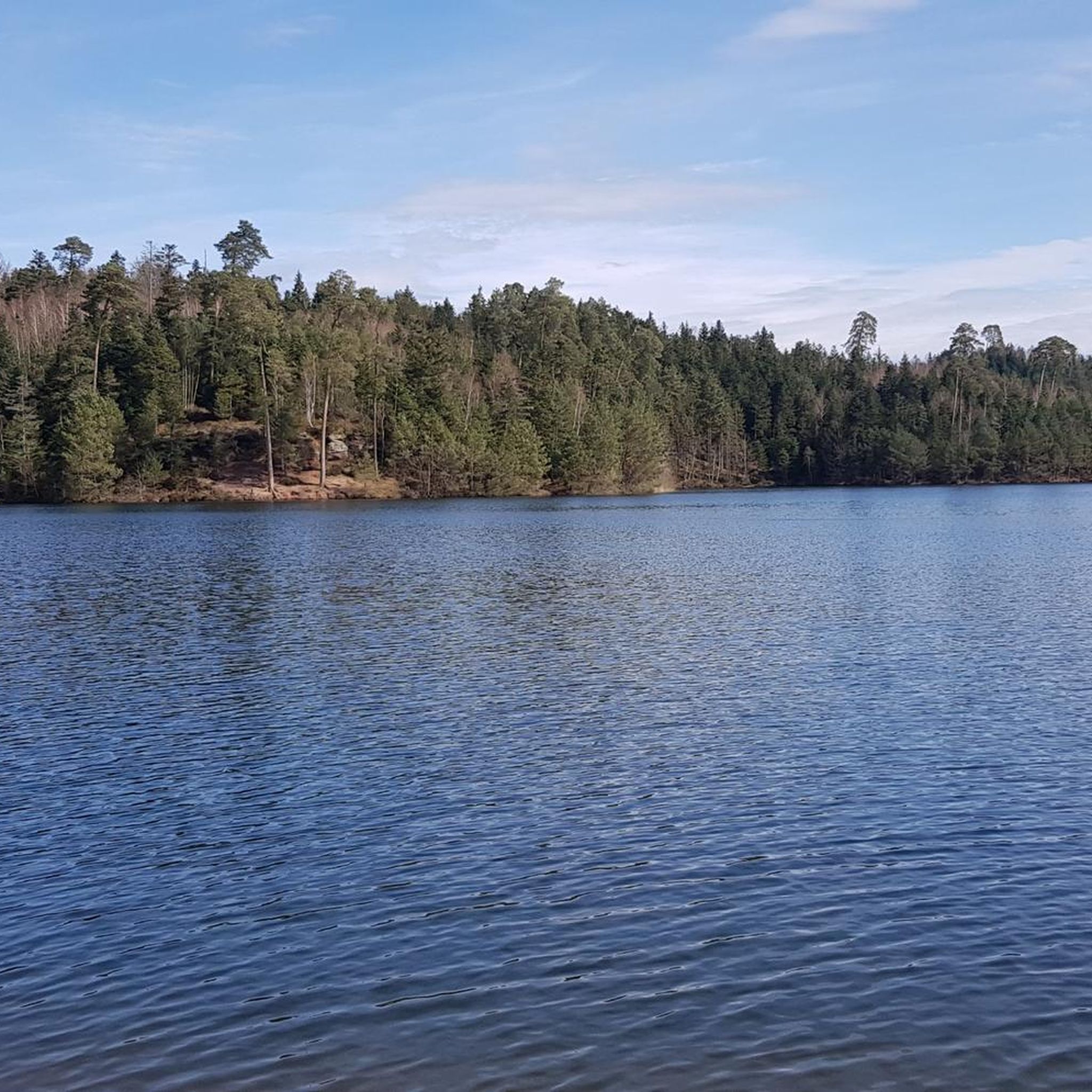
Lac de la Plaine is a picturesque lake in the Vosges, located near Celles-sur-Plaine, near the larger Lac de Pierre-Percée. The lake is an artificial water reservoir of about 0.5 million m³ and serves as a supply basin for the reservoir above.
1
0

Near the Pierre-Percée lake, the Plaine lake is smaller, less known but just as charming. It also has the advantage of being bordered by a beautiful cycle path. Not the surface we prefer for mountain biking, but a great way to advance in the valley to access the many spots of the Vosges.
0
0

One of the most beautiful areas in Alsace/Lorraine. Ideal for cycling and hiking
2
0
Frequently Asked Questions
How many running routes are available around Bertrichamps?
There are over 140 running routes in the Bertrichamps area, offering a wide variety of distances and difficulty levels. You'll find everything from moderate paths to challenging trails with significant elevation changes.
Are there any easy or beginner-friendly jogging routes in Bertrichamps?
Yes, while many routes are moderate to difficult, there are at least 5 easy running paths suitable for beginners or those looking for a less strenuous jog. These typically feature gentler terrain and less elevation gain.
What kind of terrain can I expect on the jogging trails near Bertrichamps?
The running trails around Bertrichamps are characterized by forested hills, prominent rock formations, and tranquil lake areas. You can expect a mix of woodland paths, some open sections, and varying elevations, providing a diverse running experience.
Are there any circular running routes in the Bertrichamps region?
Many of the running routes in Bertrichamps are circular, allowing you to start and finish at the same point. For example, the difficult route The Calling Stone – View from the Roches de Faucompierre loop from Raon-l'Étape is a popular circular option.
Can I find running routes with scenic viewpoints in Bertrichamps?
Absolutely. The region is known for its prominent rock formations and elevated sections that offer panoramic views. Routes like View from the Roches de Faucompierre – Tête de Repy loop from Raon-l'Étape and Viewpoint 1 – La Pierre d'Appel loop from Raon-l'Étape are excellent choices for runners seeking impressive vistas.
What natural attractions can I see while running around Bertrichamps?
The area boasts several natural monuments and features. You might encounter highlights such as the Moss-Covered Rocks and Bridge in the Vosges Forest, the Roches de Lanceux, or the Roches de Marie Fontaine. The Lake Pierre-Percée is also a notable natural landmark.
Are there any family-friendly running paths in Bertrichamps?
While many routes have significant elevation, there are easier paths that families can enjoy. Look for routes marked as 'easy' in the komoot app, which typically have less challenging terrain and shorter distances, making them more suitable for a family outing.
What do other runners say about the trails in Bertrichamps?
The running routes in Bertrichamps are highly rated by the komoot community, with an average score of 4.3 stars from over 30 reviews. Runners often praise the diverse landscapes, including forested hills and scenic rock formations, and the variety of challenges offered by the trails.
Are there any running routes that pass by lakes or water features?
Yes, the region includes tranquil lake areas. The route Lac de la Plaine – La Plaine Lake loop from Raon-l'Étape is a great option for runners who enjoy lakeside scenery, offering a different experience from the more hilly, forested trails.
What is the best time of year for running in Bertrichamps?
Spring and autumn are generally ideal for running in Bertrichamps, with pleasant temperatures and beautiful foliage. Summer can also be enjoyable, especially in the shaded forest sections, but be prepared for warmer weather. Winter running is possible, but some trails might be slippery or require appropriate gear due to snow or ice.
Are there any less crowded or 'hidden gem' running routes in Bertrichamps?
While the most popular routes offer stunning scenery, exploring some of the moderate-difficulty trails that are not highlighted in the intro can lead to quieter experiences. These often traverse similar forested landscapes and offer a chance to discover less-frequented paths away from the main attractions.
What are the typical distances and elevation gains for running routes in this area?
Running routes around Bertrichamps vary significantly. Distances can range from shorter, easy paths to longer, difficult trails over 20 km. Elevation gains also vary, with some difficult routes featuring over 600 meters of ascent, while easier paths have much less. This diversity allows runners to choose routes that match their fitness level and desired challenge.
Most popular routes around Bertrichamps
Most popular attractions around Bertrichamps

Get inspired with the komoot mobile app


Explore more
Browse the best Running Trails & Routes in other regions.
