The best cycling routes around Moncel-Sur-Seille
4.7
(56)
510
riders
87
rides
Touring cycling routes around Moncel-Sur-Seille are situated within the Seille valley, offering a blend of countryside and cultural interest. The region features diverse landscapes, including ponds, wetlands, and extensive forests such as Bois de Rosebois. Moncel-sur-Seille itself lies at an elevation between 195 and 283 meters, contributing to varied terrain with gentle undulations. The broader Moselle region provides a network of cycle paths, including traffic-free riverside trails and routes through the Moselle hills.
Best touring cycling routes around Moncel-Sur-Seille
- The…
Last updated: July 5, 2026
5.0
(3)
61
riders
54.4km
03:12
290m
290m
Moderate bike ride. Good fitness required. Mostly paved surfaces. Suitable for all skill levels.
10
riders
55.5km
03:20
380m
380m
Moderate bike ride. Good fitness required. Mostly paved surfaces. Suitable for all skill levels.

Sign up for free
5.0
(2)
22
riders
19.3km
01:12
80m
80m
Easy bike ride. Great for any fitness level. Mostly paved surfaces. Suitable for all skill levels.
6
riders
24.4km
01:33
170m
170m
Moderate bike ride. Good fitness required. Mostly paved surfaces. Suitable for all skill levels.
8
riders
17.8km
01:05
120m
120m
Easy bike ride. Great for any fitness level. Mostly paved surfaces. Suitable for all skill levels.
Get access to more routes and recommendations from other explorers.
Sign up for free
Already have an account?
Our route recommendations are based on thousands of hikes, rides, and runs completed by other people on komoot.
Start today with a free account
Your next adventure awaits.
Login or Signup
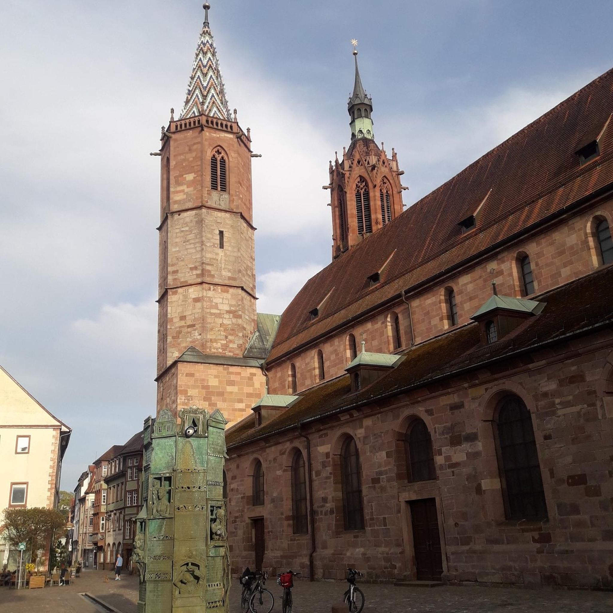
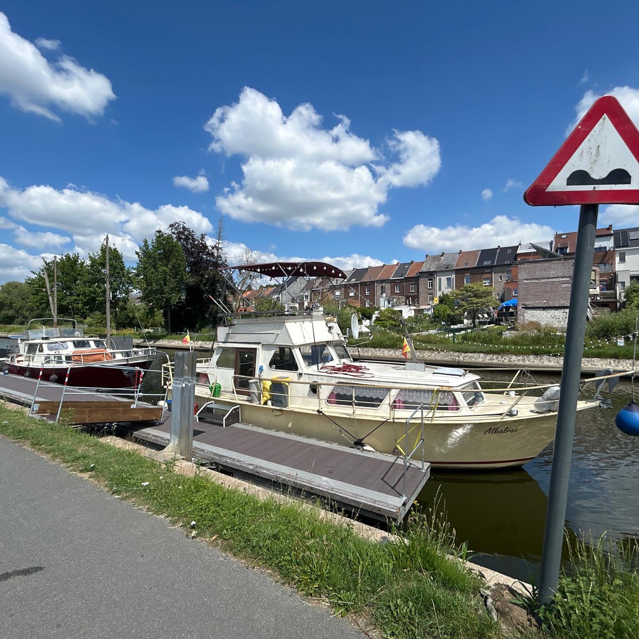

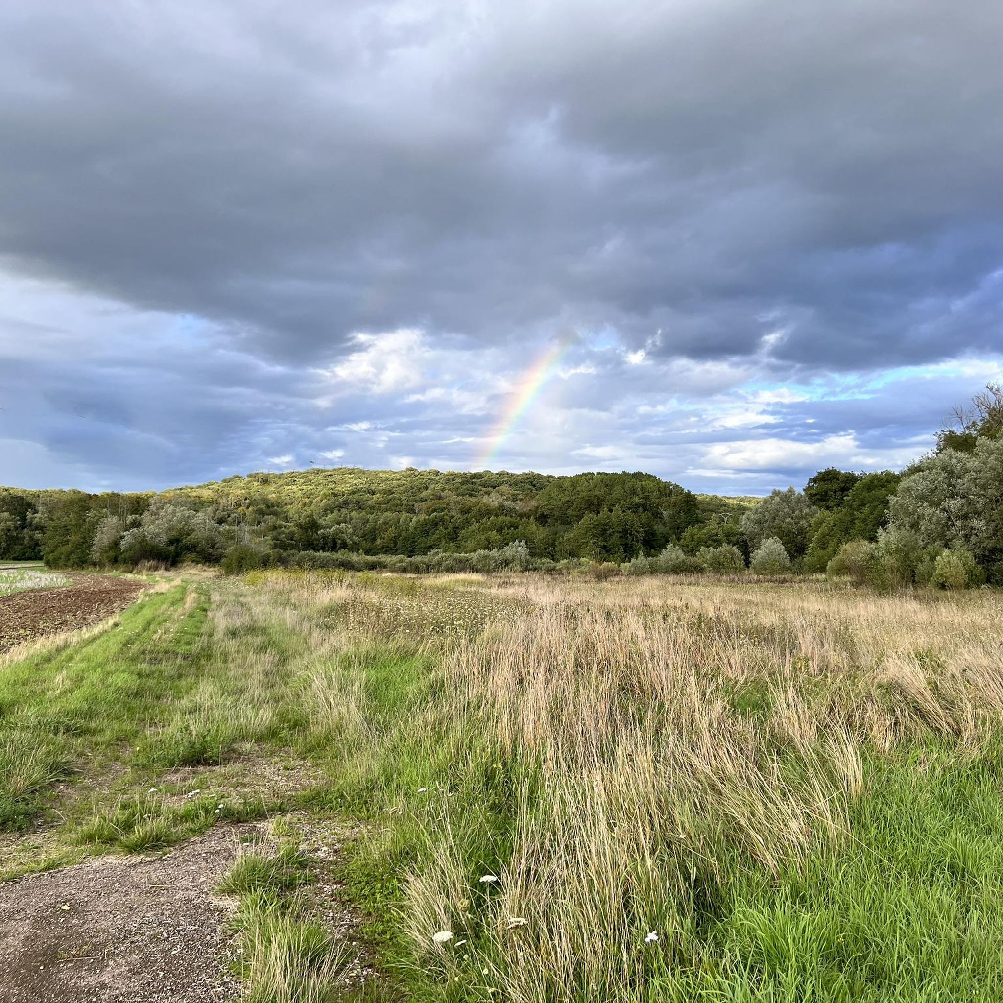
Tips from the Community


Not at all a view of the canal, it's more of the Meurthe, the canal is right next to it.
1
0

Good place to sleep before Nancy 🌠
0
0

Beautiful and well-developed bike path. Ideal for cycling.
2
0
Here along the canal you can really enjoy a relaxing bike ride.
1
0

It’s well worth the detour!
0
0
Frequently Asked Questions
How many touring cycling routes are available around Moncel-Sur-Seille?
There are over 80 touring cycling routes around Moncel-Sur-Seille documented on komoot, offering a wide range of options for different skill levels and preferences.
What kind of terrain can I expect on touring cycling routes in Moncel-Sur-Seille?
The terrain around Moncel-Sur-Seille is varied. You'll find routes with gentle undulations, as the area sits between 195 and 283 meters elevation. Many paths follow the picturesque Seille valley, offering relatively flat sections, while others venture into the Moselle hills with more moderate climbs. The broader Moselle region also features extensive, mostly flat cycle paths, including traffic-free riverside trails.
Are there any easy touring cycling routes suitable for beginners or families?
Yes, Moncel-Sur-Seille offers several easy touring cycling routes. For instance, the Picnic area – Rucher de la Bouzule loop from Brin-sur-Seille is an easy 19.3 km path that traverses gentle countryside. The wider Moselle Cycle Path is also known for its family-friendly, mostly flat terrain.
What natural features can I see while cycling around Moncel-Sur-Seille?
The region is rich in natural beauty. You can cycle through the scenic Seille valley, past numerous unspoiled ponds and wetlands like the "Marais de Moncel sur Seille" and the Brin Pond, which are home to diverse wildlife. Routes also lead through forests such as Bois de Rosebois, Bois Saint-Roch, and Bois de Sainte-Marie. Some areas offer panoramic views of the Seille and Mauchère valleys.
Are there any circular touring cycling routes in the area?
Yes, many routes around Moncel-Sur-Seille are designed as circular loops. Examples include the Marne–Rhine Canal – Saint Catherine's Gate loop from Brin-sur-Seille, which is 54 km, and the shorter Rucher de la Bouzule loop from Brin-sur-Seille at 24.4 km. These allow you to start and end your ride in the same location.
What historical landmarks or attractions can I visit along the cycling routes?
You can incorporate several historical and cultural sites into your rides. Notable attractions include the historic Church of St Privat de Salonnes with its 16th-century Gothic portal, the Rucher de la Bouzule apiary, and the Monument to the Memory of the Heroes of La Bouzule. The region also features fortified churches in old winegrowing villages, reflecting its rich history.
What do other touring cyclists say about the routes in Moncel-Sur-Seille?
The touring cycling routes around Moncel-Sur-Seille are highly regarded by the komoot community, with an average rating of 4.6 stars from over 50 reviews. Cyclists often praise the diverse landscapes, from tranquil valleys and wetlands to forests, and the variety of routes suitable for different abilities.
Is it possible to access the cycling routes using public transport?
While specific public transport connections directly to trailheads in Moncel-Sur-Seille might vary, the broader Moselle region has an extensive network of cycle paths. It's advisable to check local bus or train services for connections to nearby towns like Brin-sur-Seille, from which many routes originate, and plan your journey accordingly.
Are there any long-distance touring options that pass through Moncel-Sur-Seille?
Moncel-Sur-Seille is situated within the broader Moselle region, which boasts an extensive network of cycle paths totaling 1100 km. The Moselle Cycle Path, known for its mostly flat terrain, is particularly accessible for longer distances and leisure cyclists. Routes like the Varangéville footbridge – Marne–Rhine Canal loop from Brin-sur-Seille (74.5 km) offer a taste of longer touring experiences.
What is the best time of year for touring cycling in Moncel-Sur-Seille?
The best time for touring cycling in Moncel-Sur-Seille is generally during the spring, summer, and early autumn months. These seasons offer pleasant weather for exploring the diverse landscapes, including the vibrant wetlands and forests. The region's natural beauty, such as the calcareous grasslands with protected orchid species, is particularly striking during warmer months.
Are there any specific routes that offer panoramic views?
Yes, walks and rides in the vicinity of Moncel-Sur-Seille, particularly in the Moselle hills, offer panoramic views. You can enjoy expansive vistas of the Seille and Mauchère valleys, as well as the Amance coast, providing excellent photo opportunities and scenic breaks during your ride.
Most popular attractions around Moncel-Sur-Seille

Get inspired with the komoot mobile app


Explore more
Browse the best Cycling routes in other regions.
