The best MTB trails around Mont-Bonvillers
4.0
(31)
201
riders
37
rides
Mountain biking around Mont-Bonvillers offers a diverse landscape characterized by rolling hills and a mix of open terrain and areas around water bodies. The region features routes with moderate elevation gains, indicating a varied topography suitable for different skill levels. Trails often traverse through rural settings, connecting small towns and natural features like local ponds.
Best mountain bike trails around Mont-Bonvillers
- The most popular mountain bike trail is Mancielles briey – Plan d'Eau de la Sangsue loop from Mancieulles,…
Last updated: July 9, 2026
13
riders
22.0km
01:34
210m
210m
Easy mountain bike ride. Great for any fitness level. Suitable for all skill levels.
4
riders
24.6km
01:51
270m
270m
Easy mountain bike ride. Great for any fitness level. Suitable for all skill levels.

Sign up for free
44.3km
03:27
600m
600m
Moderate mountain bike ride. Good fitness required. Suitable for all skill levels.
4.5
(2)
6
riders
52.2km
03:58
530m
530m
Moderate mountain bike ride. Good fitness required. Suitable for all skill levels.
4
riders
17.4km
01:19
140m
140m
Easy mountain bike ride. Great for any fitness level. Suitable for all skill levels.
Get access to more routes and recommendations from other explorers.
Sign up for free
Already have an account?
Our route recommendations are based on thousands of hikes, rides, and runs completed by other people on komoot.
Start today with a free account
Your next adventure awaits.
Login or Signup
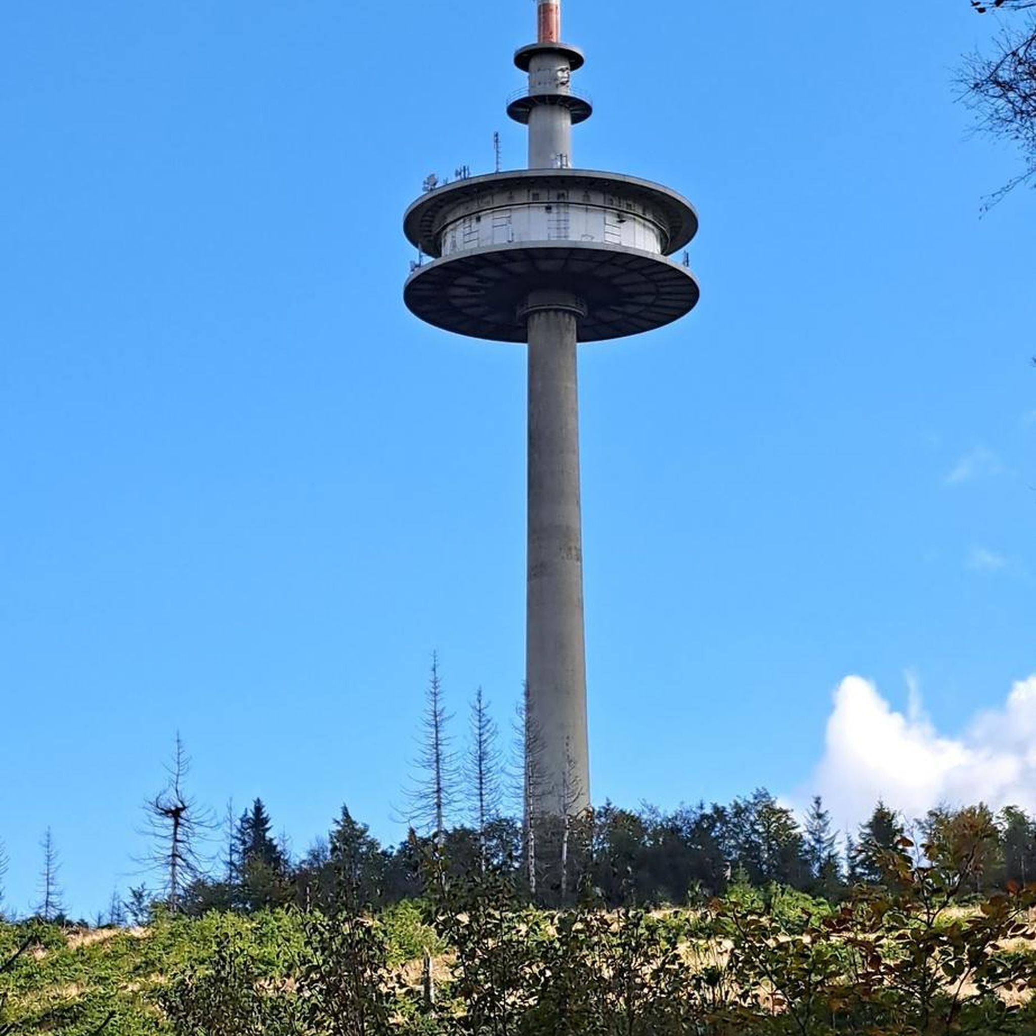
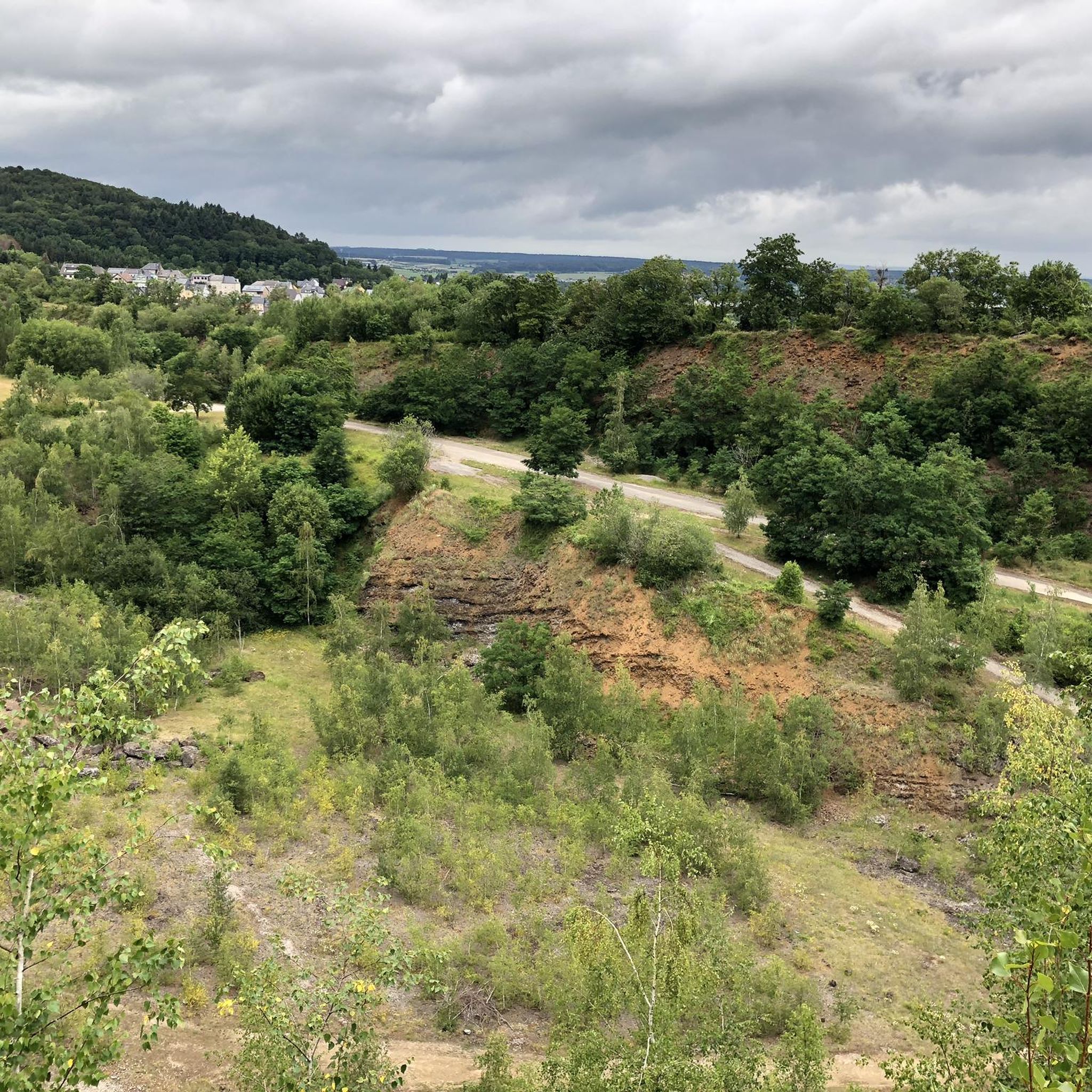
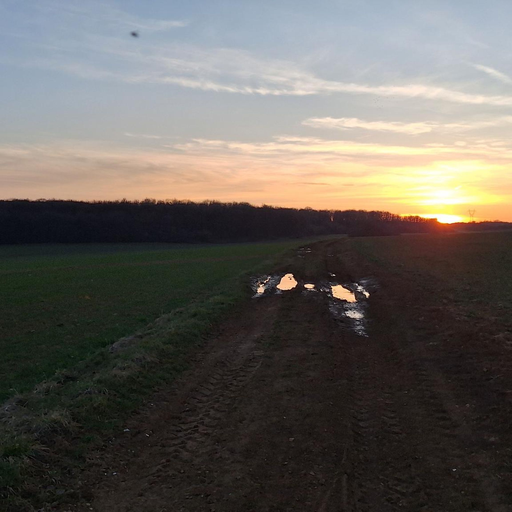
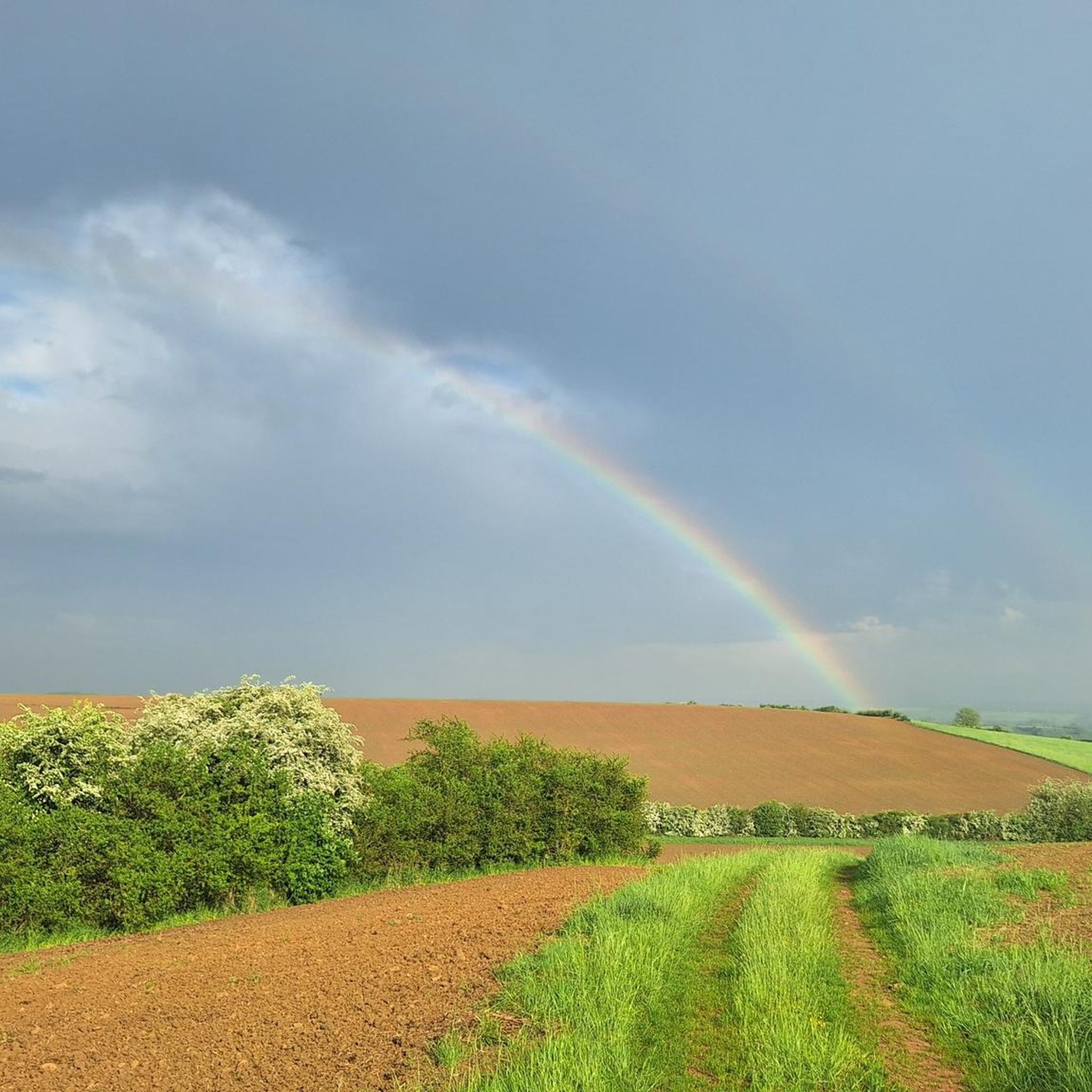
Tips from the Community

💧 Plan d'Eau de la Sangsue – Small Natural Lake Tucked away in the countryside lies the Plan d'Eau de la Sangsue, a small natural lake with wild shoreline vegetation, calm waters, and a natural charm. While its name ("Leech Pond") is unusual, the body of water is a peaceful spot for walkers, nature lovers, and birdwatchers. 🌿 Surrounded by forest and meadows, the pond is a refuge for amphibians, insects, and waterfowl. A narrow path leads along the shore – ideal for a quiet break in nature. Tip: Particularly beautiful in spring or when there is light fog – then the pond appears almost mystical. Perfect for a quiet rest off the beaten track.
0
0

Very beautiful pond with a lot of activities for children (playground and outdoor activity park)
0
0

Great body of water in the early morning
1
0

Nice view of the Briotin lake. To see with family.
0
0
Briey lake for a 2.5km tour, it is an ideal place for a walk, a run, and joining the greenway or forest paths in the surrounding area. ' It has a children's play park.
0
0

A strategic road designed to supply the various bunkers in the section from Crusnes to Morfontaine. Walk past the Serrouville airport, which is used by hobby pilots. There is more traffic on the airfield than the condition of the road suggests. The street has a very stable substructure, but the ceiling has lost its tar for a long time and is more like a slope. Huge puddles, especially after rains, but all have firm ground. Go straight past the bunkers in Bréhain. Very long way through the forest that only crosses a road once. In places meanwhile gravelly, but can be used by all bicycles. Except racing bikes. Crosses the former railway line from Aumetz to Audun, the rails are still lying. If you find them, however, you are GOOD.
0
0
Frequently Asked Questions
How many mountain bike trails are available around Mont-Bonvillers?
There are over 25 mountain bike trails recorded around Mont-Bonvillers on komoot. These include a mix of easy and moderate routes, with 11 easy trails and 18 moderate trails to explore.
Are there any easy mountain bike trails suitable for beginners in Mont-Bonvillers?
Yes, Mont-Bonvillers offers several easy mountain bike trails perfect for beginners. An excellent option is the Aéroclub de Serrouville loop from Serrouville, an easy 12.3-mile (19.8 km) path that provides open views.
What are the typical durations for mountain bike rides in Mont-Bonvillers?
Mountain bike rides in Mont-Bonvillers typically range from 1.5 to 3.5 hours, depending on the route's distance and your pace. For example, the Mancielles briey – Plan d'Eau de la Sangsue loop from Mancieulles takes about 2 hours 6 minutes, while longer routes can extend to over 3 hours.
Are there any challenging mountain bike routes for experienced riders?
While there are no trails explicitly graded as 'difficult' in the immediate Mont-Bonvillers area, experienced riders can find moderate routes that offer a good challenge. The Aéroclub de Serrouville loop from Audun-le-Roman, at 44.3 km with nearly 600 meters of elevation gain, provides a longer and more demanding ride.
Are there circular mountain bike routes available in Mont-Bonvillers?
Yes, many of the mountain bike trails around Mont-Bonvillers are circular loops, making them convenient for starting and ending at the same point. Examples include the Piscine – Les Guimonts loop from Trieux and the Mancielles briey – Étang de la Sangsue loop from Mairy-Mainville.
What kind of views or landscapes can I expect on the mountain bike trails?
The mountain bike trails around Mont-Bonvillers offer diverse landscapes, including rolling hills, open fields, and routes that often pass by local water features like ponds. You'll experience a mix of rural settings and natural scenery.
What attractions or points of interest can I see along the mountain bike trails?
Many trails pass by interesting local features. You might encounter the Plan d'Eau de la Sangsue, the historic Church of Mance, or even the impressive Eiffel Viaduct of Serrouville. Some routes also pass by remnants of the region's mining history, such as an Entrance to the old mining tunnel.
What is the best season for mountain biking in Mont-Bonvillers?
The best seasons for mountain biking in Mont-Bonvillers are typically spring and autumn, when the weather is mild and the natural scenery is vibrant. Summer can also be pleasant, but it's advisable to ride earlier in the morning or later in the afternoon to avoid the midday heat. Winter riding is possible but can be affected by colder temperatures and potentially muddy conditions.
How can I check the current trail conditions before I go?
For the most up-to-date trail conditions, it's best to check local weather forecasts and recent activity on komoot for the specific routes you plan to ride. Users often post updates and photos that can give you an idea of current conditions, especially after heavy rain or during seasonal changes.
What do other mountain bikers enjoy most about Mont-Bonvillers?
The mountain biking experience in Mont-Bonvillers is highly rated by the komoot community, with an average score of 3.9 stars. Reviewers often praise the varied terrain, the mix of open fields and water features, and the well-maintained paths that cater to different skill levels.
Is there public transport access to the mountain bike trails in Mont-Bonvillers?
While specific public transport links directly to trailheads might be limited, Mont-Bonvillers and surrounding towns are generally accessible by regional bus services. It's recommended to check local transport schedules for connections to the starting points of your chosen routes.
Are there any family-friendly mountain bike trails in the area?
Yes, the region's easy trails are generally suitable for families. Routes with less elevation gain and smoother surfaces, such as the Aéroclub de Serrouville loop from Serrouville, offer a pleasant experience for families looking to enjoy a ride together.
Most popular routes around Mont-Bonvillers
Most popular attractions around Mont-Bonvillers

Get inspired with the komoot mobile app


Explore more
Browse the best MTB trails in other regions.
