The best MTB trails around Francin
4.3
(213)
1,350
riders
169
rides
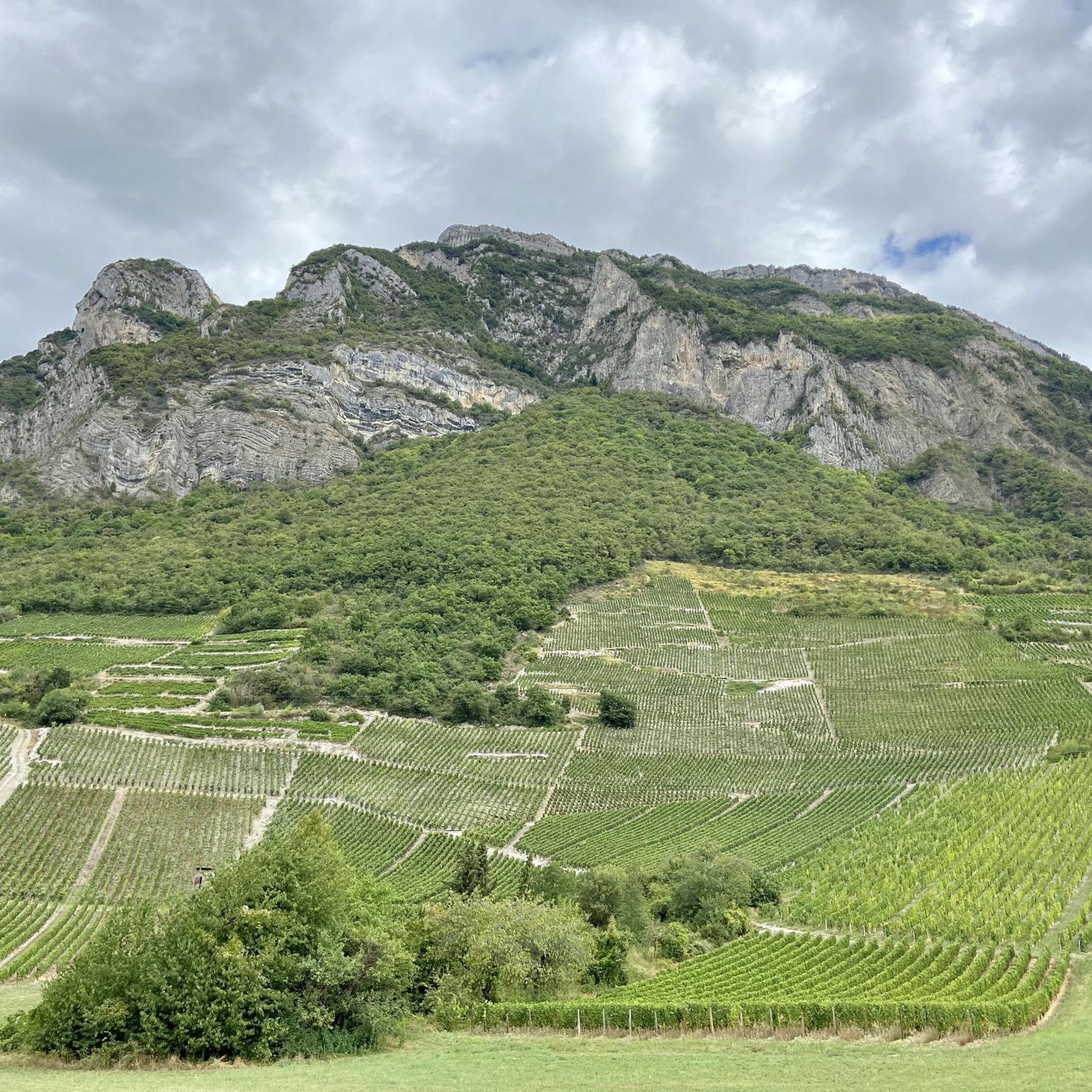
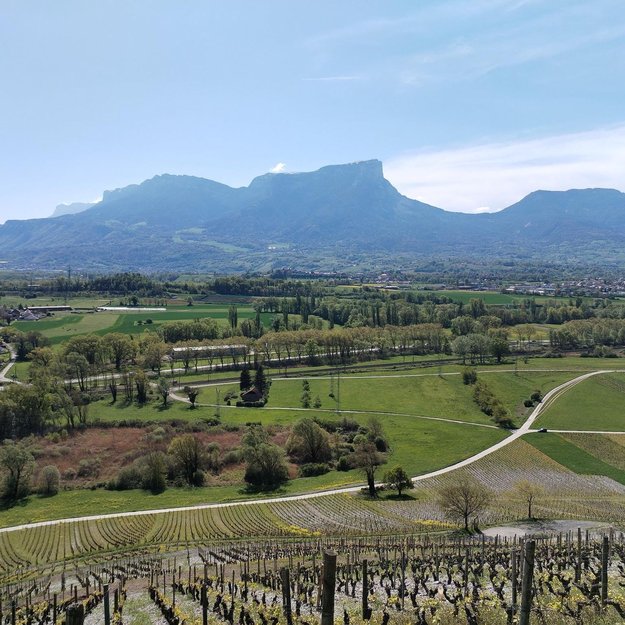
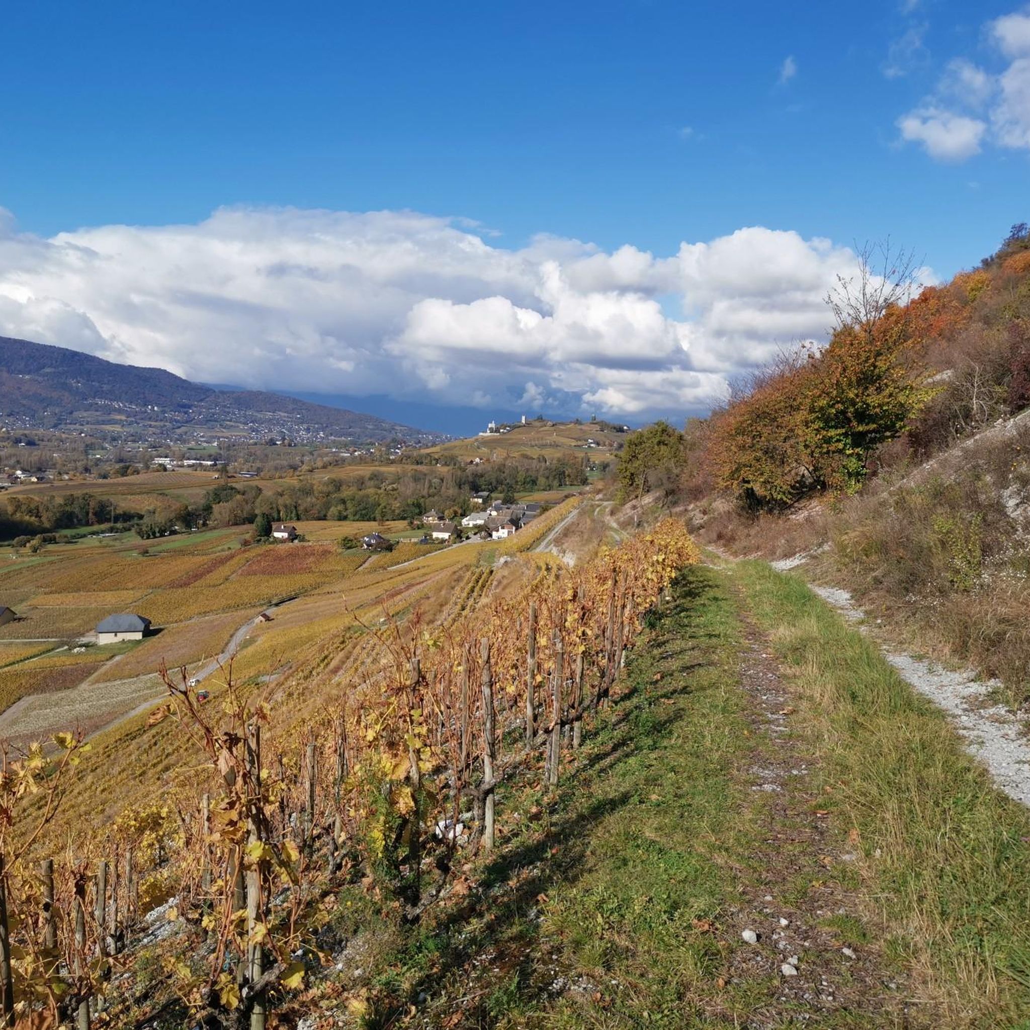
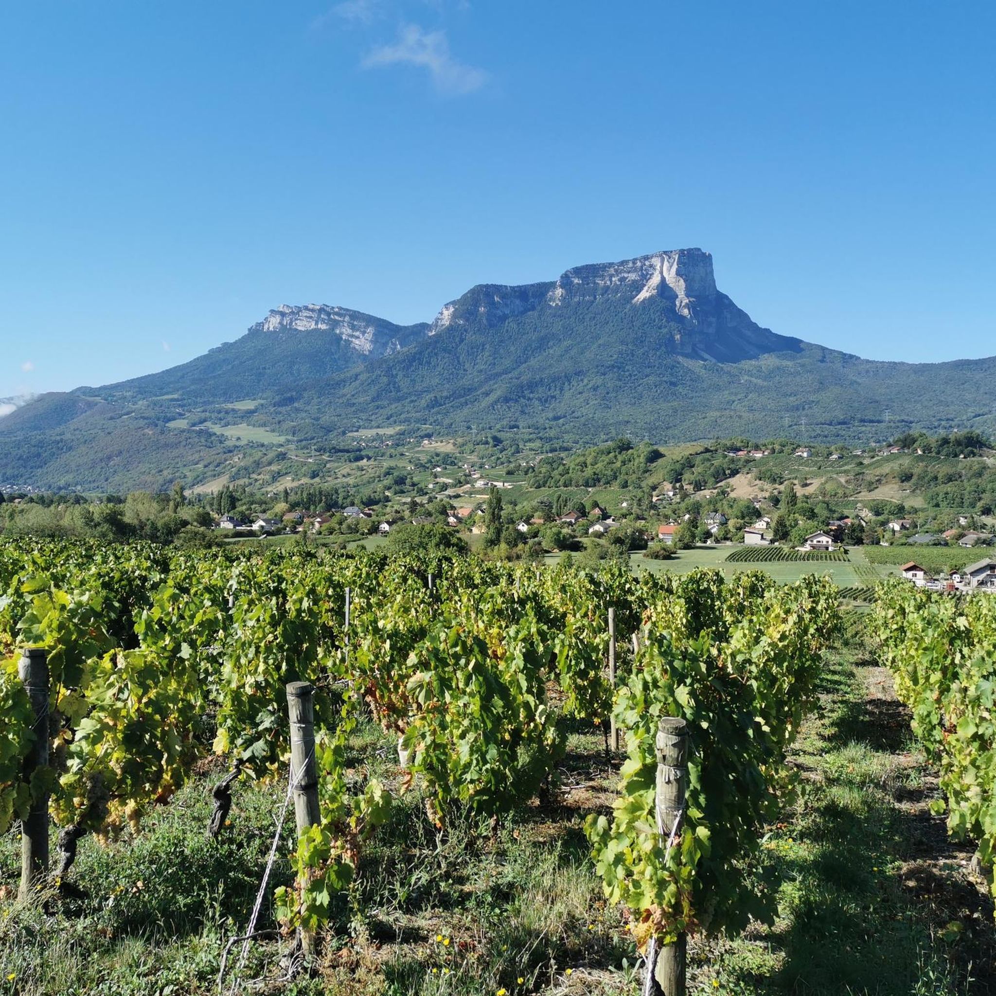
Mountain bike trails around Francin, part of the Porte-de-Savoie commune, are situated in the Auvergne-Rhône-Alpes region, offering diverse terrain for outdoor activities. The area's elevation ranges from 244 to 1,130 meters, providing varied landscapes suitable for mountain biking. It lies near the Chartreuse, Belledonne, and Bauges Massifs, characterized by high peaks, valleys, dense forests, and alpine pastures. The terrain includes rocky paths, gravel, roots, and dirt, with significant elevation changes for both climbs and descents.
Best mountain bike trails around…
Last updated: July 1, 2026
4.8
(11)
34
riders
38.0km
04:07
1,100m
1,100m
Hard mountain bike ride. Very good fitness required. Advanced riding skills necessary. Some portions of the route may require you to push your bike.
3.0
(2)
44
riders
29.6km
02:50
900m
900m
Hard mountain bike ride. Good fitness required. Advanced riding skills necessary. Some portions of the route may require you to push your bike.

Sign up for free
4.8
(4)
17
riders
27.3km
02:12
470m
470m
Hard mountain bike ride. Good fitness required. Advanced riding skills necessary. Some portions of the route may require you to push your bike.
18
riders
53.5km
03:47
560m
560m
Moderate mountain bike ride. Good fitness required. Advanced riding skills necessary.
4.0
(1)
15
riders
107km
06:19
880m
880m
Hard mountain bike ride. Very good fitness required. Advanced riding skills necessary.
Get access to more routes and recommendations from other explorers.
Sign up for free
Already have an account?
Our route recommendations are based on thousands of hikes, rides, and runs completed by other people on komoot.
Start today with a free account
Your next adventure awaits.
Login or Signup
Tips from the Community

True location of the Pass, arrival marker and sign at the summit.
1
0


Refreshing in case of strong heat
0
0


Tour of the lake via the Col du Chat, very beautiful with very beautiful views.
1
0
Parallel to the Chat tunnel, passage reserved for bicycles and pedestrians. Lit, it is dotted with drawings all along the walls. The official name of this passage is the "Galerie du Chat", a name that can be seen on many signs in the surrounding area.
2
0

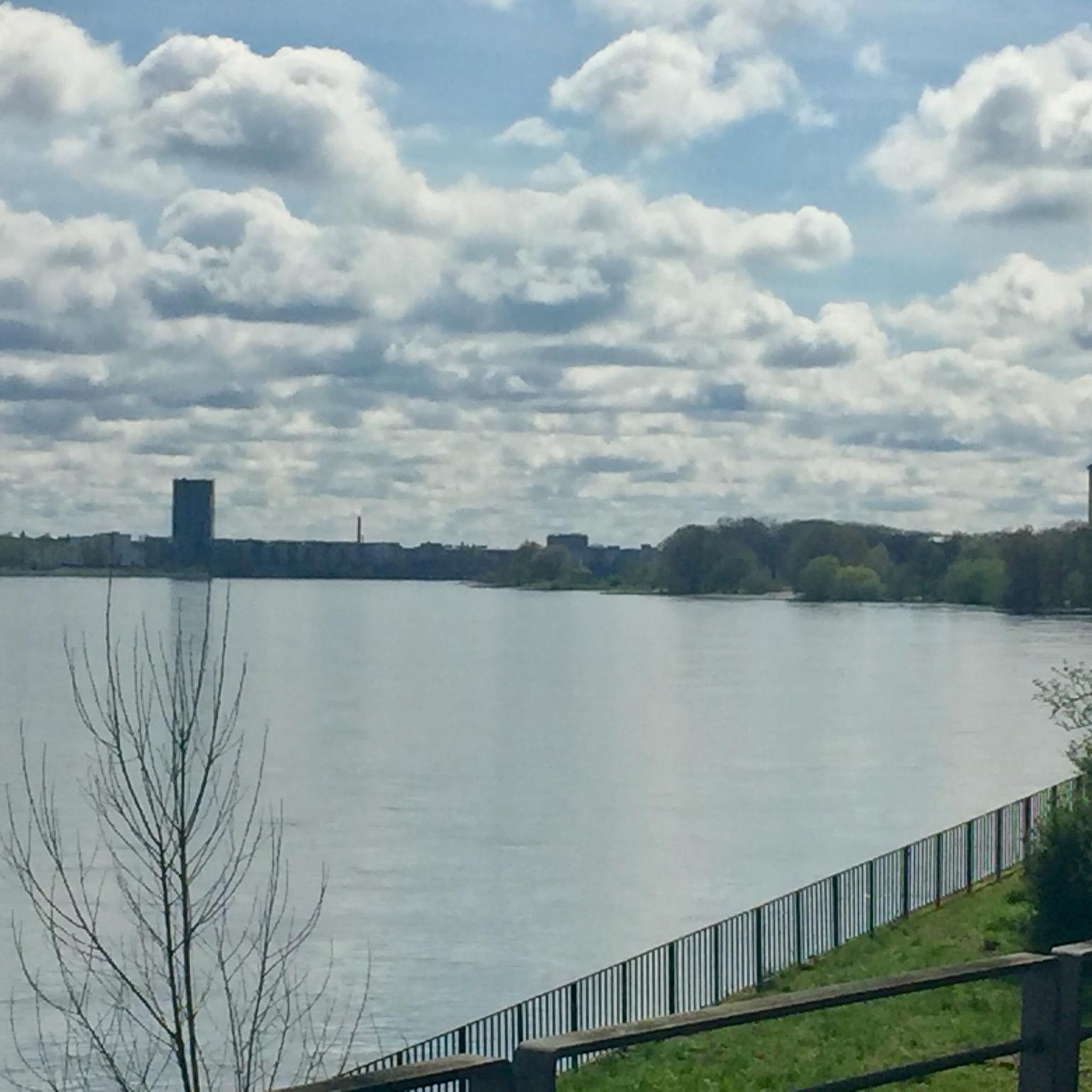
Great lake view with mountains, start of the Tunnel du Chat for cyclists.
0
0
Beautiful lake, beautiful views.
1
0
Frequently Asked Questions
How many mountain bike trails are available around Francin?
There are over 160 mountain bike trails around Francin, offering a wide range of options for different skill levels. The komoot community has explored these routes over 1500 times, giving them an average rating of 4.4 stars.
What kind of terrain can I expect on mountain bike trails near Francin?
The terrain around Francin is highly varied due to its location near the Chartreuse, Belledonne, and Bauges Massifs. You can expect rocky paths, gravel, roots, and dirt, with significant elevation changes for both climbs and descents. The area's elevation ranges from 244 to 1,130 meters, providing diverse landscapes from dense forests to alpine pastures.
Are there any easy mountain bike trails suitable for beginners or families around Francin?
Yes, Francin offers trails suitable for beginners and families. For example, the Lake Carouge – Étang de Grésy loop from Montmélian is a moderate 44.8 km route with less elevation, often completed in about 2 hours 30 minutes. The area around Lake Saint-André also features easy loops, perfect for a relaxed ride.
What are some challenging mountain bike trails for experienced riders?
Experienced riders will find plenty of challenging options. The Camelot Gorge – Ferme des résistants loop from Montmélian is a difficult 38.1 km trail with significant elevation gain. Another demanding route is the Marocaz Pass loop from Montmélian, an 29.9 km difficult path with substantial climbing and descending, offering views of the surrounding massifs.
What natural features or landmarks can I see along the mountain bike trails?
The trails around Francin offer access to stunning natural features and landmarks. You can ride past picturesque spots like Lake Saint-André, which formed after a massive landslide from Mont Granier. Mountain passes such as Granier Pass and Marocaz Pass provide dramatic views and are popular cycling routes. Higher elevations in the Chartreuse Massif can offer panoramas of Mont Blanc and other ranges.
Are there any mountain bike routes that offer scenic viewpoints?
Many routes in the Francin area provide breathtaking scenic viewpoints. The Sore Paws – View of the Combe de Savoie loop from Montmélian offers great vistas. Additionally, the Watch Rock highlight is a popular viewpoint accessible from various trails, providing expansive views of the surrounding landscape.
What is the best time of year for mountain biking in Francin?
The best time for mountain biking in Francin is generally from spring through autumn. During these seasons, the weather is more favorable, and the trails are typically clear of snow. Summer offers warm conditions, while spring and autumn provide cooler temperatures and vibrant scenery, especially in the forests and alpine pastures.
Are there any circular mountain bike routes in the area?
Yes, many mountain bike routes around Francin are designed as loops, allowing you to start and finish at the same point. Examples include the Bourdeau Towers – Tour de Chignin loop from Montmélian and the Camelot Gorge – Ferme des résistants loop from Montmélian. The region is well-suited for exploring on circular tours.
What do other mountain bikers say about the trails in Francin?
The mountain bike trails around Francin are highly regarded by the komoot community, with an average rating of 4.4 out of 5 stars from over 200 reviews. Riders frequently praise the diverse terrain, the stunning views of the surrounding massifs, and the variety of routes catering to all skill levels.
Are there any specific mountain passes that are popular for mountain biking?
Yes, several mountain passes are popular for mountain biking. The Granier Pass is a classic cycling route known for its pleasant scenery and moderate gradient, making it ideal for mountain biking. Marocaz Pass is also a significant feature, often included in more challenging loops.
Can I find trails that are suitable for electric mountain bikes (VTTAE)?
The broader Savoie region, including the areas accessible from Francin, is well-suited for electric mountain bikes (VTTAE). The extensive network of trails in the Chartreuse Massif, for instance, offers options for both traditional mountain biking and VTTAE, allowing riders to tackle more challenging ascents with assistance.
Most popular routes around Francin
Most popular attractions around Francin

Get inspired with the komoot mobile app


Explore more
Browse the best MTB trails in other regions.
