The best road cycling routes around Puy-Saint-Gulmier
4.3
(4)
261
riders
54
rides
Road cycling routes around Puy-Saint-Gulmier traverse a diverse volcanic landscape within the Auvergne Volcanic Regional Nature Park. This area features a mountainous massif with verdant valleys, rocky ridges, and rolling hills, providing varied terrain for cyclists. Elevations range from 616 to 853 meters, ensuring naturally undulating routes. The region is characterized by its unique volcanic formations and dense forests, offering both challenging ascents and scenic rides.
Best road cycling routes around Puy-Saint-Gulmier
- The most popular road cycling route is Château…
Last updated: July 17, 2026
5.0
(1)
36
riders
75.4km
03:42
1,110m
1,110m
Hard road ride. Very good fitness required. Mostly well-paved surfaces and easy to ride.
3.0
(1)
16
riders
31.4km
01:39
560m
560m
Moderate road ride. Good fitness required. Mostly well-paved surfaces and easy to ride.

Sign up for free
15
riders
49.5km
02:32
860m
860m
Moderate road ride. Good fitness required. Mostly well-paved surfaces and easy to ride.
8
riders
64.9km
03:02
850m
850m
Moderate road ride. Good fitness required. Mostly well-paved surfaces and easy to ride.
7
riders
73.1km
03:46
1,190m
1,190m
Hard road ride. Very good fitness required. Mostly well-paved surfaces and easy to ride.
Get access to more routes and recommendations from other explorers.
Sign up for free
Already have an account?
Our route recommendations are based on thousands of hikes, rides, and runs completed by other people on komoot.
Start today with a free account
Your next adventure awaits.
Login or Signup


Tips from the Community

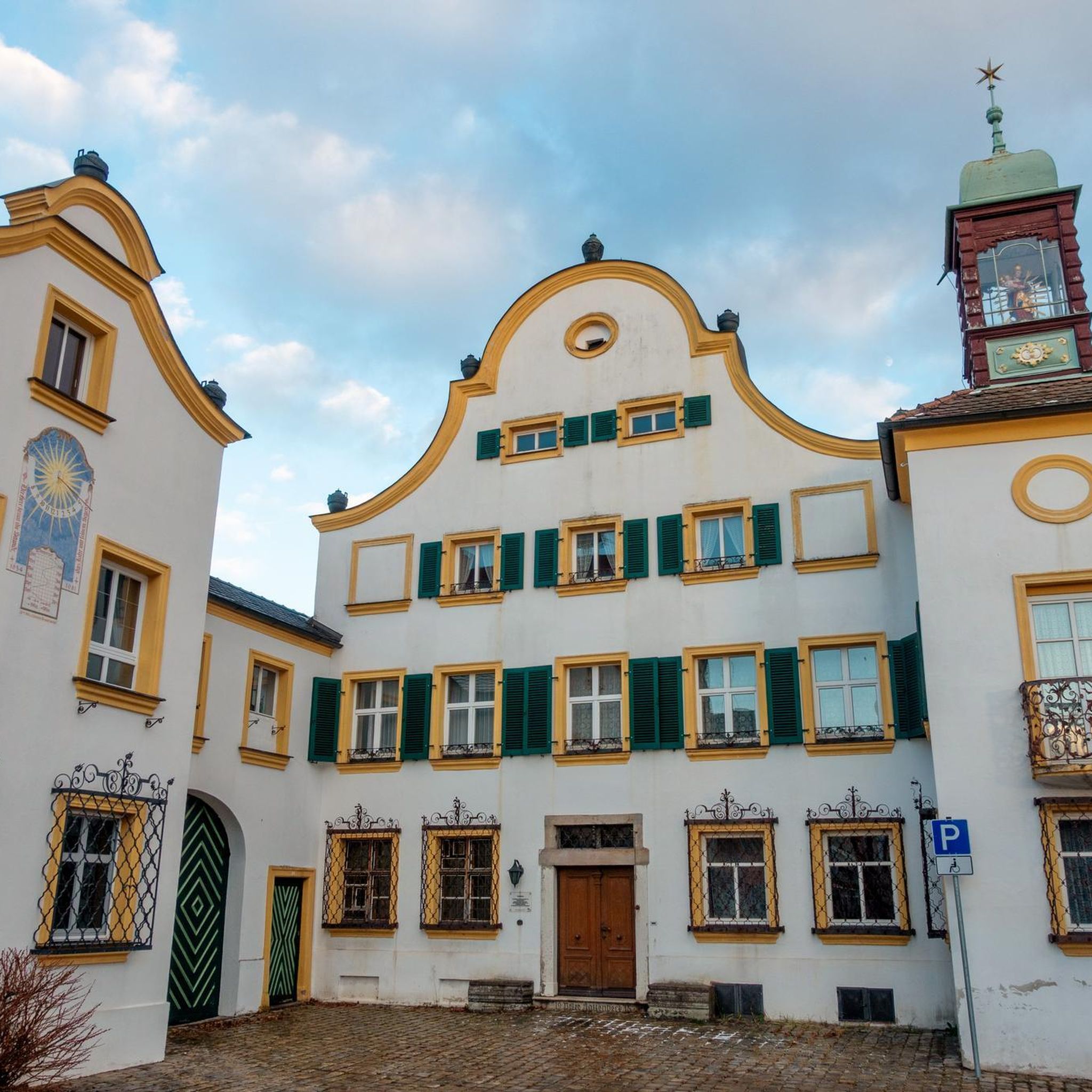
A beautiful little town in the Auvergne region. A must-see in both summer and winter.
0
0
Tuilière and Sanadoire Rocks. Certainly one of the most beautiful viewpoints in the department!
0
0


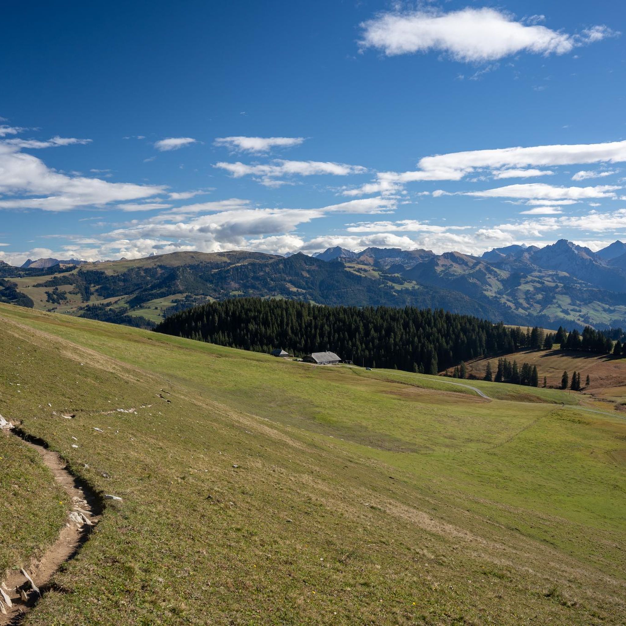
very little traffic, a superb panorama and autumn colours
0
0

Breathtaking view of the Tuilliere and Sanadoire rocks, remains of two volcanoes. They mark the northern entrance to the Sancy massif and watch over Lake Guéry.
0
0

The Col de Guéry, located in the heart of the Auvergne region, offers a picturesque mountain pass experience amidst the volcanic landscapes of the Massif Central. At an altitude of approximately 1,267 metres, the pass offers stunning views of Lake Guéry below, the highest lake in Auvergne. The region is known for its tranquil beauty, with rolling meadows, dramatic volcanic peaks and forests that change colour with the seasons. Nearby Roche Sanadoire and Roche Tuilière add to the spectacular scenery, making it a perfect stop on your hike.
1
0

View of the Roche Tuilière (left) and the Roche Sanadoire. The two "guardians" of the Lac du Guery belong to the volcanic massif of the Aiguillier, whose activity period was between 2.2 and 1.8 million years ago. "Lauze" was mined at the Roche Tuilière until the middle of the 20th century. The ballast columns, which were formed by the slow cooling of the lava, crumble into thin, regular plates, the "lauzes". These plates were used to cover roofs instead of tiles (tuiles). This is where the rock got its name.
0
1
Frequently Asked Questions
What kind of terrain can I expect when road cycling around Puy-Saint-Gulmier?
The region around Puy-Saint-Gulmier is characterized by its diverse volcanic landscape, situated within the Auvergne Volcanic Regional Nature Park. You'll encounter a mountainous massif with verdant valleys, rocky ridges, and rolling hills. Elevations range from 616 to 853 meters, ensuring naturally undulating routes with both challenging ascents and scenic descents.
How many road cycling routes are available in the Puy-Saint-Gulmier area?
There are over 50 road cycling routes available around Puy-Saint-Gulmier. These routes cater to various skill levels, from moderate rides through the countryside to more difficult options with significant climbs.
Are there any easy road cycling routes suitable for beginners in Puy-Saint-Gulmier?
Yes, while many routes offer moderate to difficult challenges due to the volcanic terrain, there is at least one easy road cycling route available. For those seeking a less strenuous ride, look for routes with minimal elevation gain.
What are some notable natural features or landmarks I might see while cycling?
Road cycling routes in this area offer views of the unique volcanic formations of the Chaîne des Puys, a UNESCO World Heritage site. You might also pass by serene lakes like Lac du Guéry and Lac Pavin, or cycle through dense forests. The region also offers glimpses of the Massif du Sancy and the iconic Puy de Dôme in the distance, known for its challenging ascents.
What is the best time of year for road cycling in Puy-Saint-Gulmier?
The region's climate makes spring through autumn generally ideal for road cycling. During these seasons, the verdant valleys and rolling hills are at their most picturesque, and the weather is typically favorable for outdoor activities. Always check local weather forecasts before heading out.
Are there any circular road cycling routes around Puy-Saint-Gulmier?
Yes, many of the road cycling routes in the area are designed as loops, allowing you to start and finish at the same point. Examples include the Château de Miremont – Ford on the Chevalet loop from Pontaumur and the Viaduc des Fades – Sioule Dam loop from Pontaumur.
What do other road cyclists say about the routes in Puy-Saint-Gulmier?
The road cycling routes around Puy-Saint-Gulmier are highly rated by the komoot community, with an average score of 4.0 stars. Cyclists often praise the varied terrain, the stunning volcanic landscapes, and the engaging environment provided by the rolling hills and country lanes.
Are there any family-friendly road cycling options in the region?
While many routes feature significant elevation changes, the region does offer varied terrains. For family-friendly options, it's best to look for routes described as 'easy' or those that stick to flatter valley sections, which provide a more leisurely experience away from the challenging climbs.
What are the options for parking when starting a road cycling route?
Many routes, such as those starting from Pontaumur, typically have designated parking areas nearby. It's advisable to check the specific route details on komoot for information on recommended starting points and available parking facilities.
Can I find cafes or places to rest along the road cycling routes?
The region has small towns and villages where you can find cafes and other amenities. While specific cafes are not listed for every route, planning your ride through or near these settlements will provide opportunities for refreshments and breaks.
Are there any particularly challenging road cycling routes for experienced riders?
Absolutely. The volcanic terrain offers numerous challenging routes with significant elevation gain. For example, the La Bourboule in the morning – Church of La Bourboule loop from Prondines is a difficult 94.5 km route with over 1490 meters of ascent, ideal for experienced cyclists seeking a demanding ride.
Is public transport available to reach Puy-Saint-Gulmier for cyclists?
While specific public transport options directly to Puy-Saint-Gulmier for cyclists are not detailed, the Auvergne-Rhône-Alpes region has a public transport network. It's recommended to research regional train or bus services that might accommodate bicycles, especially to larger towns near Puy-Saint-Gulmier, and then cycle the remaining distance.

Get inspired with the komoot mobile app


Explore more
Browse the best Road cycling routes in other regions.
