The best road cycling routes around Rougegoutte
4.5
(352)
16,727
riders
208
rides
Road cycling routes around Rougegoutte are located at the base of the southern Vosges mountains, providing a diverse landscape for cyclists. The region features a mix of challenging mountain terrain, picturesque valleys, and extensive forests. Cyclists can expect routes with significant elevation changes, particularly towards peaks like the Ballon d'Alsace, alongside more moderate rides through wooded areas and past natural lakes.
Best road cycling routes around Rougegoutte
- The most popular road cycling route is Planche des Belles Filles – La…
Last updated: July 13, 2026
4.8
(4)
104
riders
34.9km
01:34
180m
180m
Easy road ride. Great for any fitness level. Mostly well-paved surfaces and easy to ride.
4.3
(3)
68
riders
56.7km
02:30
450m
450m
Moderate road ride. Good fitness required. Mostly well-paved surfaces and easy to ride.

Sign up for free
34
riders
28.0km
01:11
240m
240m
Easy road ride. Great for any fitness level. Mostly well-paved surfaces and easy to ride.
12
riders
42.3km
01:49
340m
340m
Moderate road ride. Good fitness required. Mostly well-paved surfaces and easy to ride.
19
riders
32.7km
01:24
170m
170m
Moderate road ride. Great for any fitness level. Some segments of this route may be unpaved and difficult to ride.
Get access to more routes and recommendations from other explorers.
Sign up for free
Already have an account?
Our route recommendations are based on thousands of hikes, rides, and runs completed by other people on komoot.
Start today with a free account
Your next adventure awaits.
Login or Signup
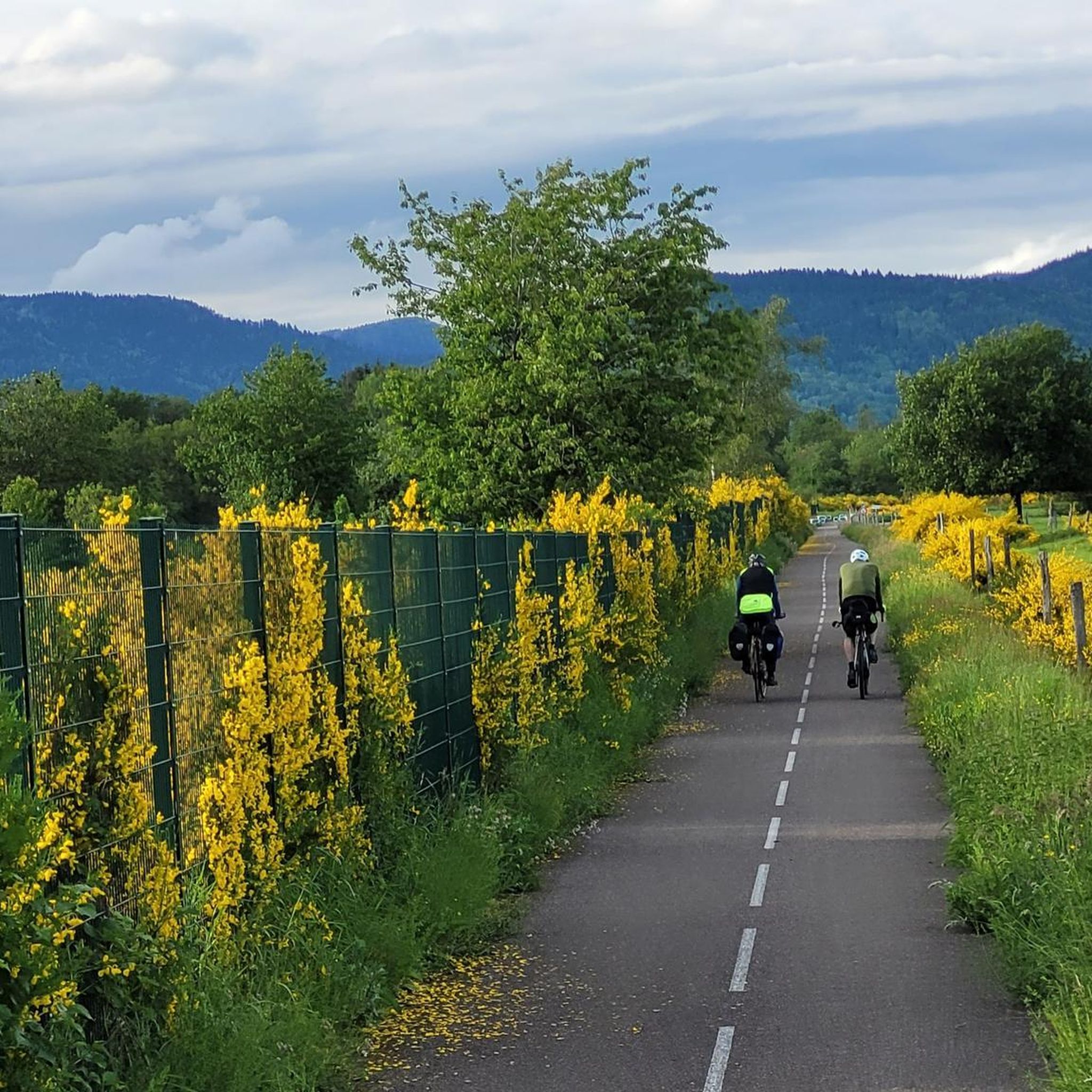
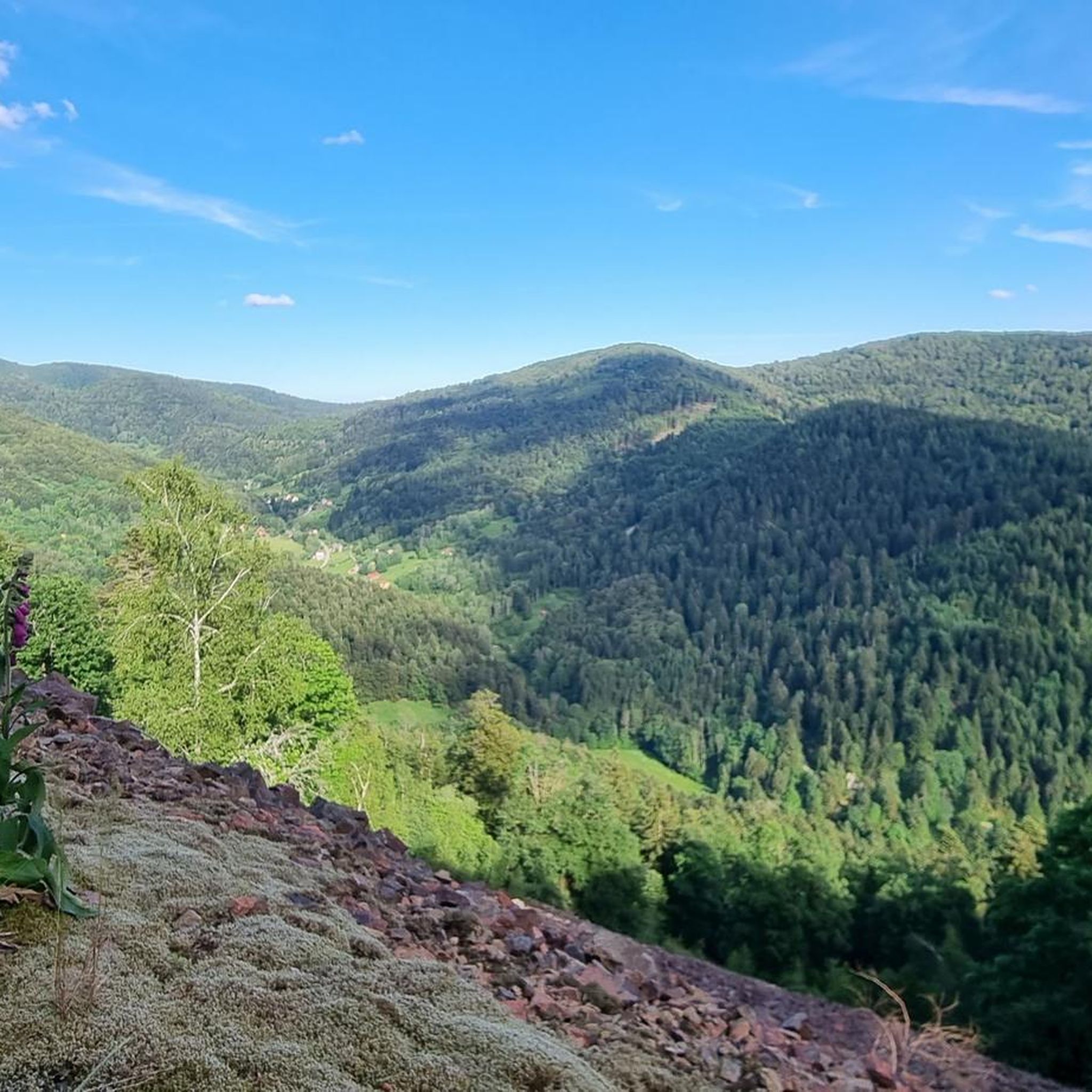
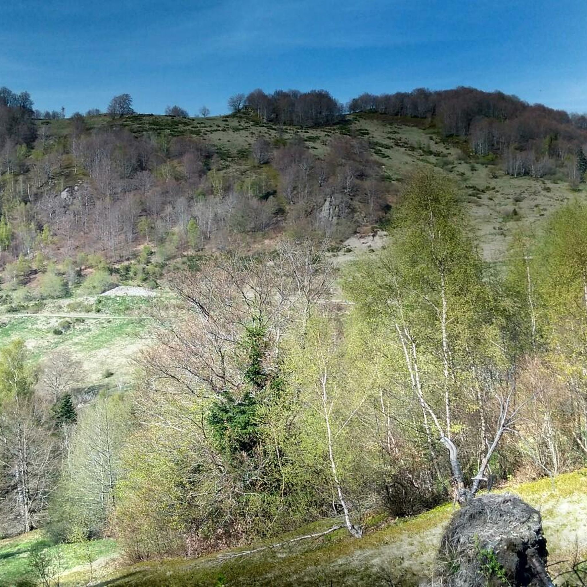
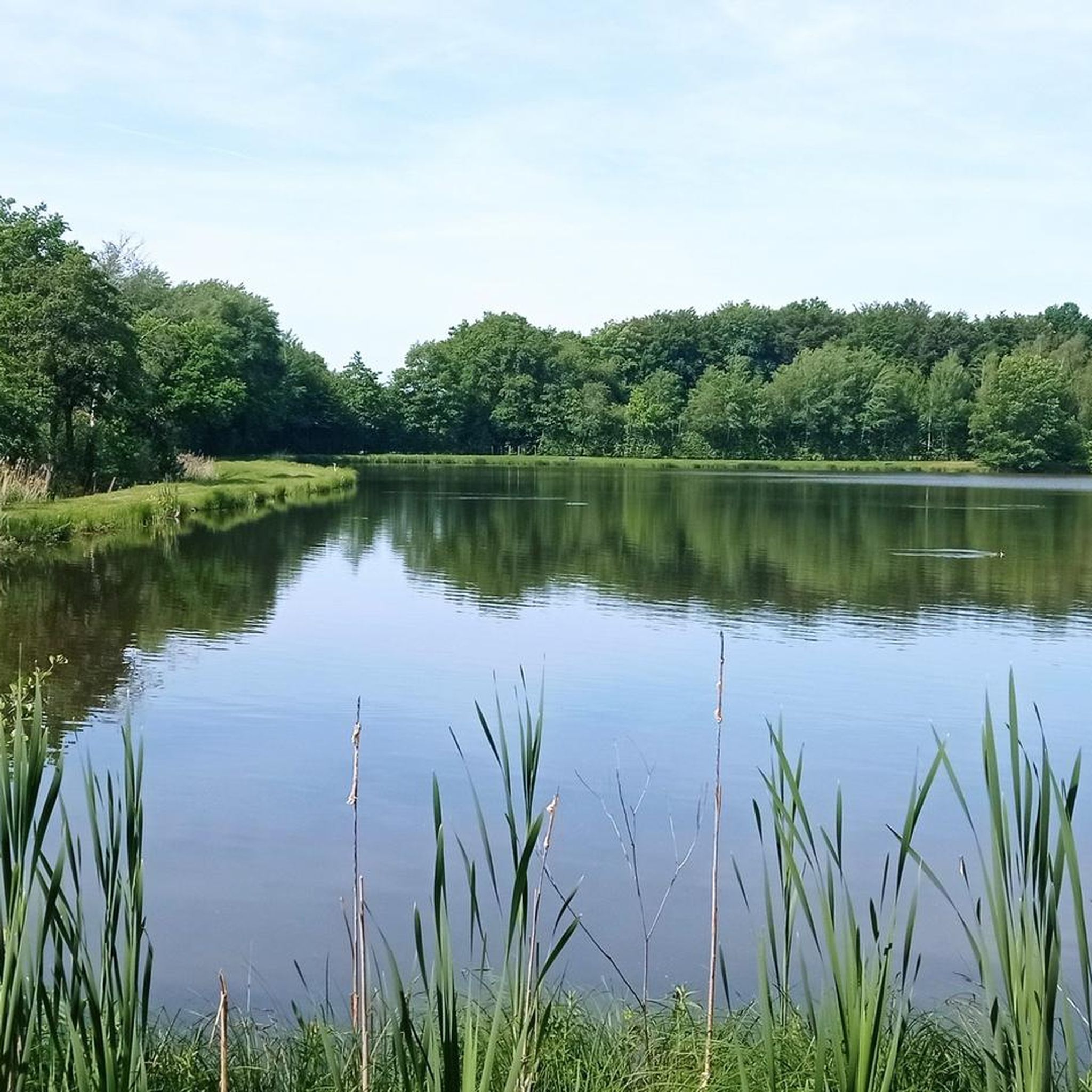
Tips from the Community

This is completely in the wrong place! It is nowhere near the citadel or the lion
0
0

I liked this pleasant lake, its welcoming terrace. We wanted to return, from the woods, but had to turn back (Spring 2026). Access is now blocked by palisades with warning signs and monitored by cameras. The marked trails of the Club Vosgien have been rerouted. As a result, the desire to go to the bar was forgotten!
0
0

impressive Vauban work , free access except for the museum
0
0


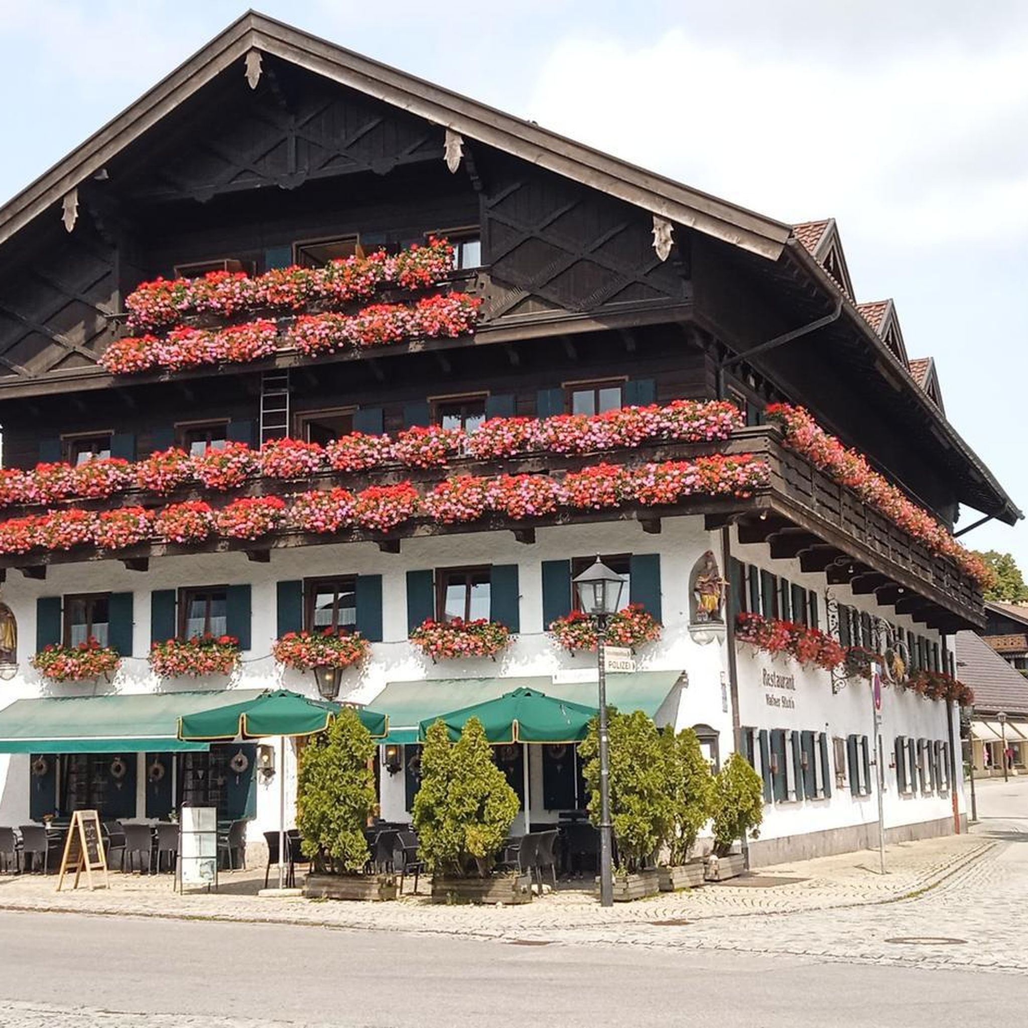
This house, including courtyard and garden, is decorated all over with watering cans. It contains a small boutique and is located on a pretty cycle route in Rougemont-le-Chateau
0
0

great for the journey to the Planche des Belles Filles
0
0
Frequently Asked Questions
How many road cycling routes are available around Rougegoutte?
There are over 200 road cycling routes around Rougegoutte. This diverse network offers options for various skill levels, from challenging ascents into the Vosges mountains to more moderate rides through valleys and forests.
What kind of terrain can I expect on road cycling routes near Rougegoutte?
The terrain around Rougegoutte is quite varied, situated at the foot of the southern Vosges mountains. You can expect a mix of challenging mountain climbs, such as those leading to the iconic Ballon d'Alsace, alongside picturesque valleys and extensive forests. Routes often feature significant elevation changes, providing a good test of endurance, but also include more moderate sections through wooded areas.
Are there road cycling routes suitable for beginners or those looking for an easier ride?
Yes, Rougegoutte offers around 30 easy road cycling routes. These routes typically feature less significant elevation changes and traverse more gentle terrain, often through wooded areas or along valley floors, making them ideal for a relaxed ride.
Where can I find challenging road cycling routes around Rougegoutte?
For challenging rides, focus on routes that ascend into the Vosges mountains. There are over 30 difficult routes available. A notable example is the Planche des Belles Filles – La Planche des Belles Filles loop from Petitmagny, which features significant climbs and is a well-known ascent in the region.
What natural features or landmarks can I see along the road cycling routes?
Many routes offer scenic views of the Vosges mountains and pass through beautiful beech forests. You might also encounter tranquil natural lakes like Lac d'Alfeld or the area around Lac du Malsaucy. The region is also known for its 'flowered village' status, adding to the pleasant scenery. For specific peaks, consider routes near Ballon d'Alsace or La Planche des Belles Filles.
Are there any circular road cycling routes starting from Rougegoutte?
Yes, many of the road cycling routes around Rougegoutte are designed as loops, allowing you to start and finish in the same location. An example is the Étang du Malsaucy – Memorial to the fallen 🕊️ loop from Rougegoutte, which offers varied terrain and returns to Rougegoutte.
What do other road cyclists enjoy most about cycling in Rougegoutte?
The road cycling routes around Rougegoutte are highly rated by the komoot community, with an average score of 4.6 stars from over 300 reviews. Cyclists often praise the diverse terrain, from challenging mountain climbs to scenic rides through forests and past lakes, and the well-maintained paths that cater to different ability levels.
Is Rougegoutte well-connected for cyclists using public transport?
While Rougegoutte itself is a smaller commune, the Territoire de Belfort region offers connections to broader cycling networks. Cyclists can access routes that link to the EuroVelo 6 and the FrancoVéloSuisse, and a new North Territory cycle path connects the Malsaucy peninsula to Giromagny, at the foot of the Ballon d'Alsace, facilitating north-south passage through the area.
Are there family-friendly road cycling options near Rougegoutte?
For families, it's best to look for the easier routes, which tend to have less elevation and are often found in the valleys or through the extensive forests, providing shaded and more manageable rides. While specific 'family-friendly' designations might vary, the 30 easy routes provide a good starting point for less experienced riders.
What is the best time of year for road biking in Rougegoutte?
The spring, summer, and early autumn months generally offer the best conditions for road cycling in Rougegoutte. During warmer periods, the extensive forests provide pleasant shaded routes. The region's natural beauty, including its 'flowered village' status, is particularly vibrant during these seasons.
Are there any long-distance road cycling routes available?
Yes, the region offers several longer routes. For example, the Étang du Malsaucy – Ronchamp loop from Giromagny covers over 66 kilometers, providing a substantial ride with significant elevation changes suitable for those looking for a longer challenge.
Where can I find parking for my car when starting a road cycling route?
While specific parking areas for each route are best checked on individual komoot tour pages, many routes start from villages or popular natural sites where parking facilities are available. For example, routes around Lac du Malsaucy or starting points in towns like Giromagny often have designated parking.
Most popular routes around Rougegoutte
Most popular attractions around Rougegoutte

Get inspired with the komoot mobile app


Explore more
Browse the best Road cycling routes in other regions.
