The best walks and hikes around Rumigny
4.4
(323)
2,553
hikers
188
hikes
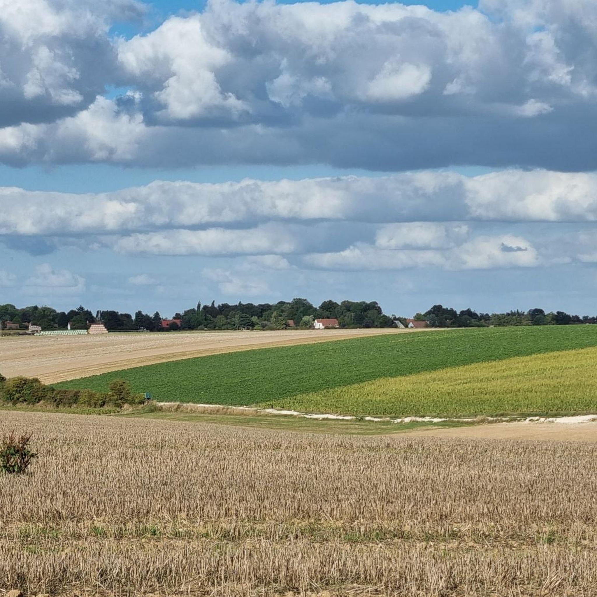
Hiking around Rumigny offers routes through a gently rolling landscape, characterized by open fields, agricultural land, and scattered woodlands. The terrain generally features low elevation changes, making it accessible for various fitness levels. The region provides a network of paths suitable for exploring the rural environment.
Best hiking trails around Rumigny
- The most popular hiking route is School camp – Dury Town Hall loop from Dury, a 7.5 miles (12.0 km) trail that takes 3 hours 8 minutes to…
Last updated: October 12, 2026
4.8
(5)
31
hikers
12.0km
03:08
80m
80m
Moderate hike. Good fitness required. Easily-accessible paths. Suitable for all skill levels.
4.7
(3)
21
hikers
9.31km
02:26
70m
70m
Moderate hike. Good fitness required. Easily-accessible paths. Suitable for all skill levels.

5.0
(2)
14
hikers
6.86km
01:49
60m
60m
Easy hike. Great for any fitness level. Easily-accessible paths. Suitable for all skill levels.
17
hikers
7.82km
02:04
70m
70m
Moderate hike. Good fitness required. Easily-accessible paths. Suitable for all skill levels.
4.0
(1)
8
hikers
5.97km
01:35
60m
60m
Easy hike. Great for any fitness level. Easily-accessible paths. Suitable for all skill levels.
Get access to more routes and recommendations from other explorers.
Already have an account?
Our route recommendations are based on thousands of hikes, rides, and runs completed by other people on komoot.
Start today with a free account
Your next adventure awaits.


Frequently Asked Questions
How many hiking trails are available around Rumigny?
The Rumigny area offers a wide selection of hiking routes, with over 180 trails recorded on komoot. These range from easy strolls through the countryside to more moderate excursions.
Are there easy hiking trails suitable for beginners or families in Rumigny?
Yes, Rumigny is well-suited for beginners and families, with 91 easy routes available. The region's gently rolling landscape and low elevation changes make many paths accessible. An example of an easy route is the Memorial stone – School camp loop from Hébécourt, which is 4.3 miles (6.9 km) long.
What is the typical length and duration of hikes in Rumigny?
Hikes in Rumigny vary in length. Many popular routes are between 4 to 8 miles (6 to 13 km) long, taking approximately 1.5 to 3 hours to complete. For instance, the School camp – Memorial stone loop from Saint-Fuscien is 5.8 miles (9.3 km) and typically takes around 2 hours 26 minutes.
Are there any circular hiking routes in Rumigny?
Yes, many of the trails around Rumigny are designed as circular routes, allowing you to start and end in the same location. A popular example is the School camp – Dury Town Hall loop from Dury, a 7.5-mile (12.0 km) trail.
What kind of scenery can I expect on the hiking trails around Rumigny?
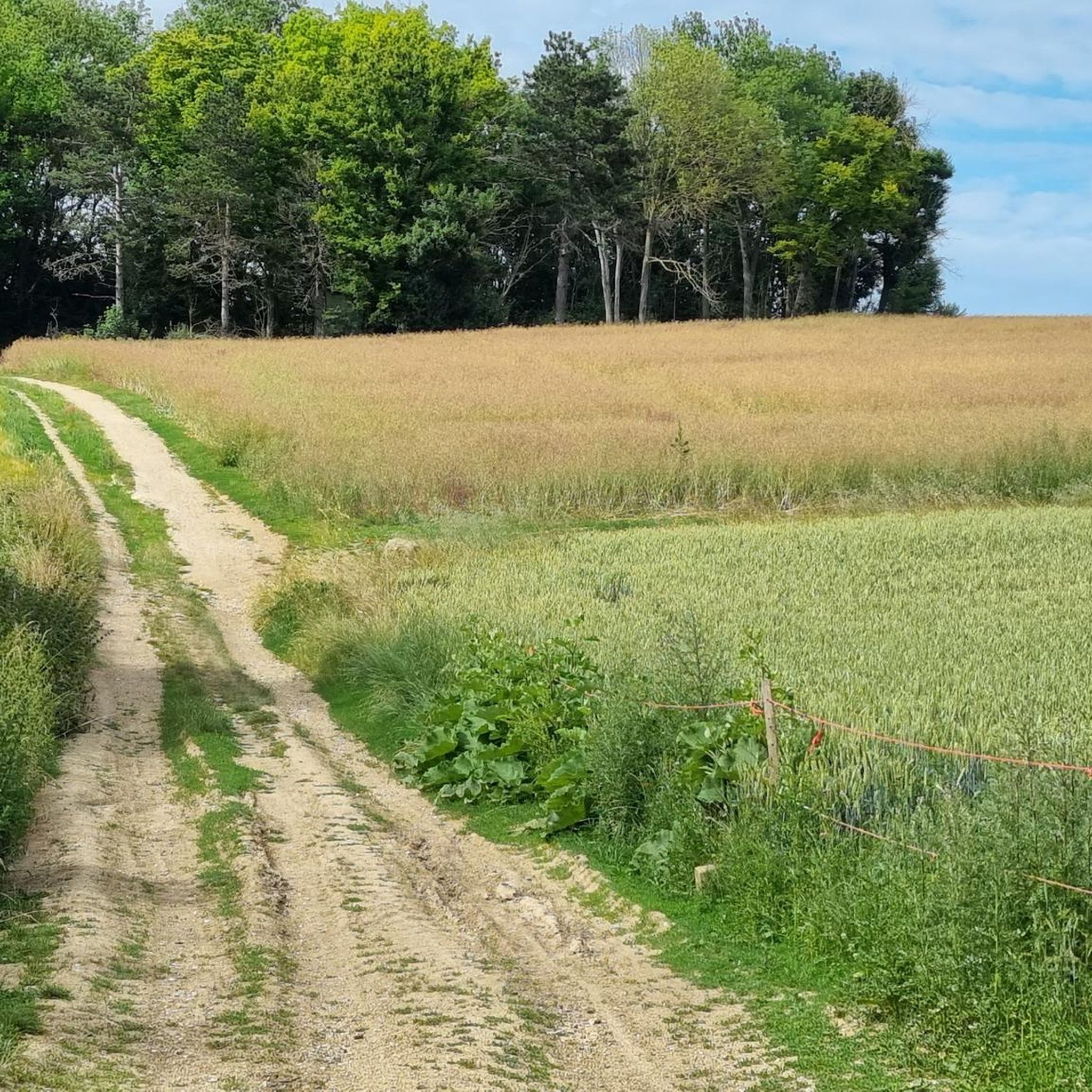
The hiking trails around Rumigny traverse a characteristic northern French landscape. You can expect to see open fields, agricultural land, quiet country lanes, and scattered woodlands. The terrain is generally gentle, offering pleasant views of the rural environment.
What do other hikers enjoy most about the trails in Rumigny?
The hiking experience in Rumigny is highly rated by the komoot community, with an average score of 4.6 stars from 300 reviews. Hikers often praise the peaceful rural setting, the accessibility of the trails, and the opportunity to explore the local countryside.
Are there any interesting natural attractions or landmarks to see near the hiking routes?
Yes, while hiking around Rumigny, you can explore several natural and historical points of interest. Nearby attractions include the Saint-Ladre Pond Nature Reserve and the unique floating gardens of the Hortillonnages of Amiens. The impressive Notre-Dame d'Amiens Cathedral is also within reach.
Is public transport available to reach the hiking trailheads in Rumigny?
Rumigny is a rural area, and public transport options to specific trailheads might be limited. It is advisable to check local bus schedules or consider driving to the starting points of your chosen hikes.
Are dogs allowed on the hiking trails in Rumigny?
Generally, dogs are welcome on hiking trails in rural France, especially if kept on a leash. However, specific rules may apply in nature reserves or agricultural areas, so always be mindful of local signage and respect private property.
What is the best time of year for hiking in Rumigny?
The best time for hiking in Rumigny is typically from spring through autumn (April to October), when the weather is mild and the countryside is in full bloom or displaying autumn colors. Summer offers longer daylight hours, while spring and autumn provide cooler temperatures ideal for longer walks.
Are there any less crowded hiking spots around Rumigny?
While the region is generally peaceful, to find less crowded spots, consider exploring some of the less-trafficked routes or hiking during off-peak hours. The vast network of trails means you can often find quiet paths away from the more popular starting points.
Most popular attractions around Rumigny

Get inspired with the komoot mobile app


Explore more
Browse the best Hikes in other regions.
