The best road cycling routes around Diesen
4.5
(76)
2,182
riders
328
rides
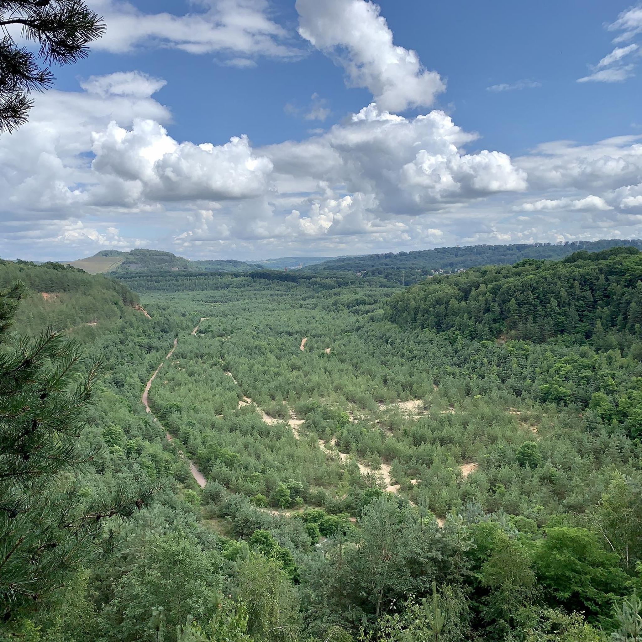
Road cycling routes around Diesen traverse a landscape characterized by rolling hills, river valleys, and forested areas like the Warndt. The region offers a mix of open roads and routes passing through local parks and agricultural land. Elevations vary, providing both flatter sections along rivers and more challenging climbs. This diverse terrain makes Diesen suitable for various road cycling experiences.
Best road cycling routes around Diesen
- The most popular road cycling route is Linslerhof – Bisten Park loop from Diesen…
Last updated: July 15, 2026
6
riders
60.6km
02:47
610m
610m
Moderate road ride. Good fitness required. Mostly well-paved surfaces and easy to ride.
6
riders
56.9km
02:32
520m
520m
Moderate road ride. Good fitness required. Mostly well-paved surfaces and easy to ride.

Sign up for free
5
riders
94.3km
04:20
870m
870m
Moderate road ride. Good fitness required. Some segments of this route may be unpaved and difficult to ride.
6
riders
122km
05:18
1,170m
1,170m
Hard road ride. Very good fitness required. Mostly well-paved surfaces and easy to ride.
7
riders
22.5km
01:04
210m
210m
Easy road ride. Great for any fitness level. Mostly well-paved surfaces and easy to ride.
Get access to more routes and recommendations from other explorers.
Sign up for free
Already have an account?
Our route recommendations are based on thousands of hikes, rides, and runs completed by other people on komoot.
Start today with a free account
Your next adventure awaits.
Login or Signup
Tips from the Community


Very nice bike ride, lots of wind today, but also lots of fun.
1
0

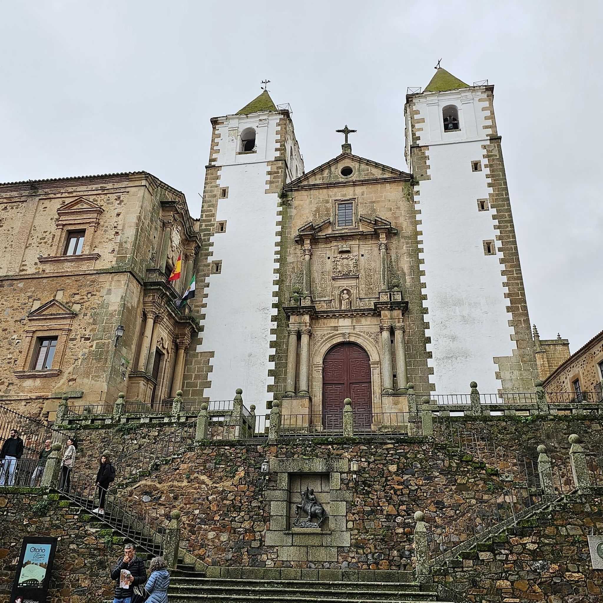
The Karlsbrunn hunting lodge is a small castle in the Karlsbrunn district of Großrosseln. It is part of the SaarPfalz Baroque Route and is a listed building.
2
0

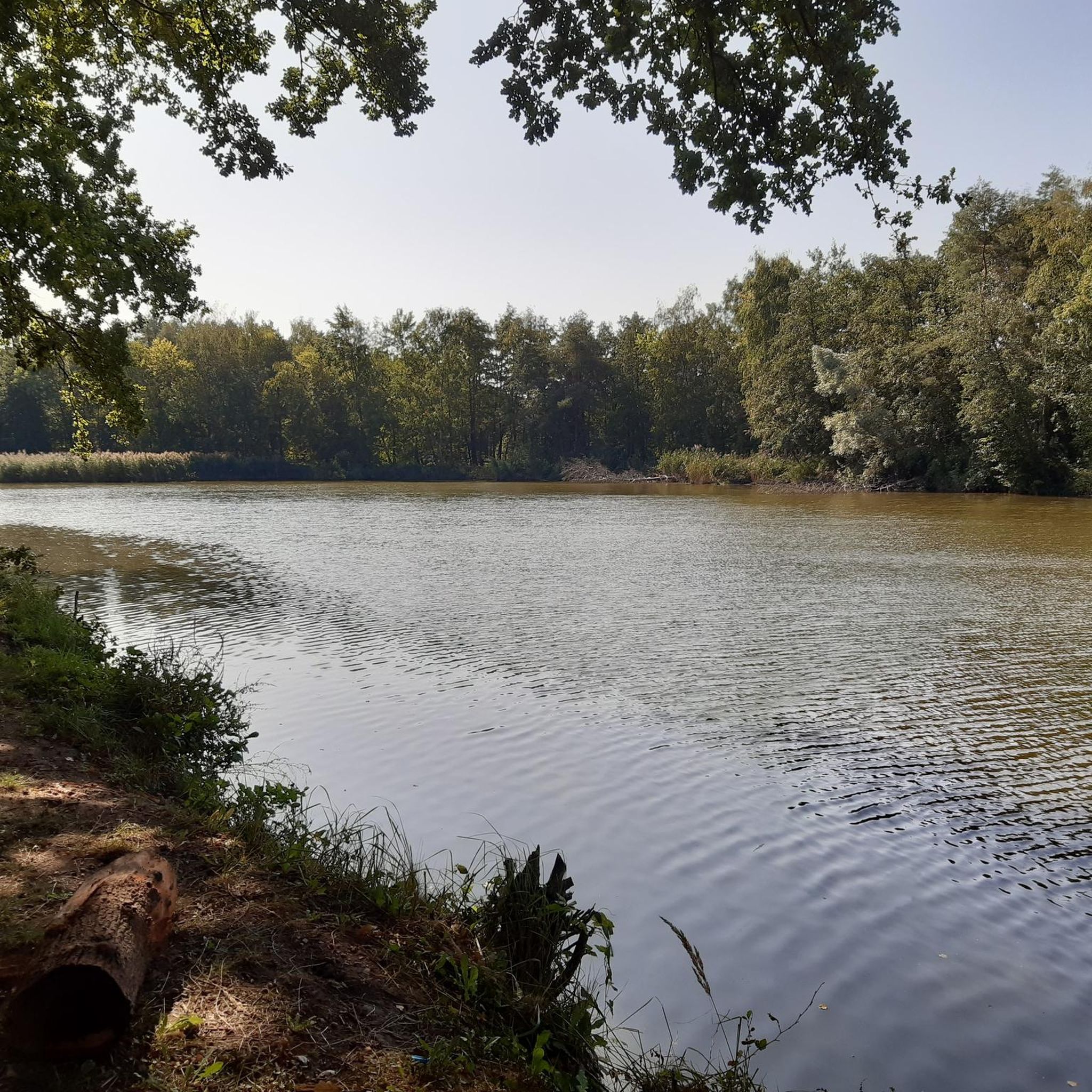
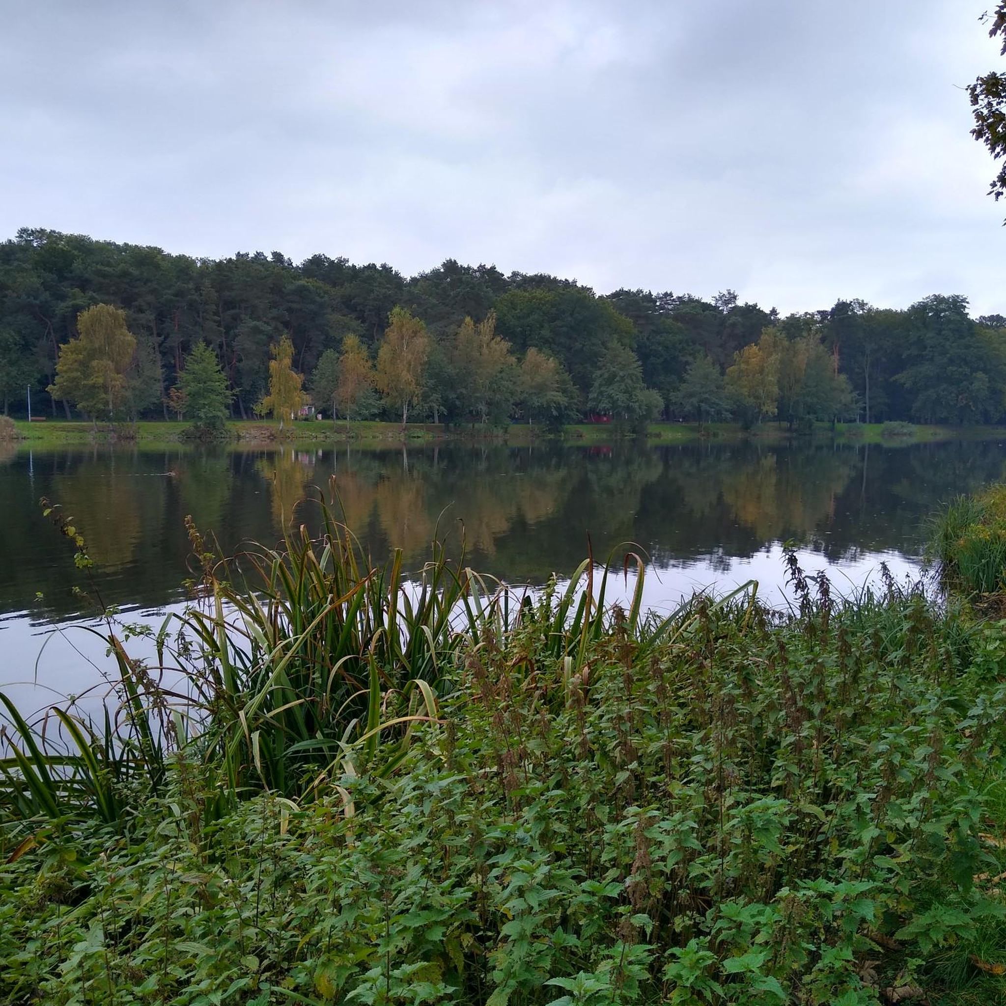
The Bisten is a charming river that widens at this point to offer a beautiful view of a body of water in the middle of the woods.
0
0

Memorial to the fallen of the two world wars 🕊️
0
0

It's worth stopping to take photos. It's gigantic to look at
0
0
Ideal for cooling off on hot days 🥵
1
0
Frequently Asked Questions
What is the typical distance and elevation gain for road cycling routes around Diesen?
Road cycling routes in Diesen vary significantly. You'll find routes ranging from around 30 miles (50 km) with moderate elevation gains of 300-500 meters, to more challenging options exceeding 70 miles (110 km) with over 1000 meters of climbing. For example, the Linslerhof – Bisten Park loop from Diesen is about 34.7 miles (55.8 km) with 379 meters of elevation gain, while the Along the Saar – Sarreguemines loop from Diesen covers 75.7 miles (121.8 km) with 1163 meters of ascent.
Are there easy road cycling routes in Diesen suitable for beginners?
Yes, Diesen offers a selection of easier road cycling routes. While many routes are moderate, there are 21 routes specifically categorized as easy, often featuring flatter sections along river valleys or through less hilly terrain. These are ideal for those new to road cycling or looking for a more relaxed ride.
Are there challenging road cycling routes for experienced cyclists in Diesen?
Absolutely. For experienced cyclists seeking a challenge, Diesen provides 74 routes categorized as difficult. These routes typically feature longer distances and significant elevation gains, traversing the region's rolling hills and offering demanding climbs. An example is the Along the Saar – Sarreguemines loop from Diesen, which is a difficult route with over 1100 meters of climbing.
What kind of scenery can I expect on road cycling routes in Diesen?
The Diesen region offers diverse scenery for road cyclists. You'll ride through rolling hills, picturesque river valleys, and extensive forested areas like the Warndt. Routes also pass through open agricultural land, local parks, and charming rural roads, providing a mix of natural beauty and cultural landscapes. The Scenic Road Through the Warndt – Fountain with break area loop from Creutzwald is a great example of a route through the forested Warndt region.
When is the best time of year for road cycling in Diesen?
The best time for road cycling in Diesen is generally from spring to autumn (April to October). During these months, the weather is typically mild, and the roads are clear. Summer offers warm conditions, while spring and autumn provide pleasant temperatures and beautiful seasonal foliage. Winter cycling can be challenging due to colder temperatures and potential for icy conditions, especially in shaded or higher elevation areas.
Are there any scenic viewpoints along the road cycling routes in Diesen?
Yes, the Diesen area features several scenic viewpoints that can be incorporated into your rides. The Panoramic Platform at Barrois Quarry offers expansive views of the landscape. Another notable spot is the Monument "For the Great Europeans" and Observation Tower (Berus), which provides elevated perspectives of the surroundings.
What do other road cyclists enjoy the most about road cycling in Diesen?
The road cycling routes in Diesen are highly rated by the komoot community, with an average score of 4.7 stars from over 50 reviews. Cyclists often praise the varied scenery, which includes a mix of open roads, forested sections, and river valleys. The well-maintained roads and the balance of moderate and challenging terrain are also frequently highlighted as positive aspects.
Are there any natural attractions or landmarks to see near the road cycling routes?
Beyond the cycling itself, the Diesen region offers several natural and man-made attractions. You can visit the Beruser Kalksteinbruch Nature Reserve or the Barrois Quarry. For cultural landmarks, consider the St. Oranna Pilgrimage Chapel or the Europe Monument, Berus.
Are there any loop trails for road cycling in Diesen?
Yes, many of the road cycling routes around Diesen are designed as loop trails, offering convenient starting and ending points without retracing your path. Examples include the popular Linslerhof – Bisten Park loop from Diesen and the Linslerhof – Berus Donkey Sculpture loop from Diesen, which provide circular journeys through the region's diverse landscapes.
Are there routes that pass by water features like lakes or rivers?
Yes, the Diesen region is characterized by river valleys, and several routes incorporate these water features. For instance, the Along the Saar – Sarreguemines loop from Diesen follows the Saar River. Additionally, the Warndtweiher is a notable lake in the area that some routes may pass by or near, offering pleasant waterside views.
Are there opportunities for coffee stops or refreshments along the road cycling routes?
While specific coffee stops are not detailed for every route, the presence of routes passing through towns and villages, and mentions of 'break areas' like the one on the Scenic Road Through the Warndt – Fountain with break area loop from Creutzwald, suggest that opportunities for refreshments exist. Many routes traverse inhabited areas where local cafes or bakeries can be found.
Most popular attractions around Diesen

Get inspired with the komoot mobile app


Explore more
Browse the best Road cycling routes in other regions.
