The best walks and hikes around Escheringen
4.5
(2565)
13,903
hikers
512
hikes
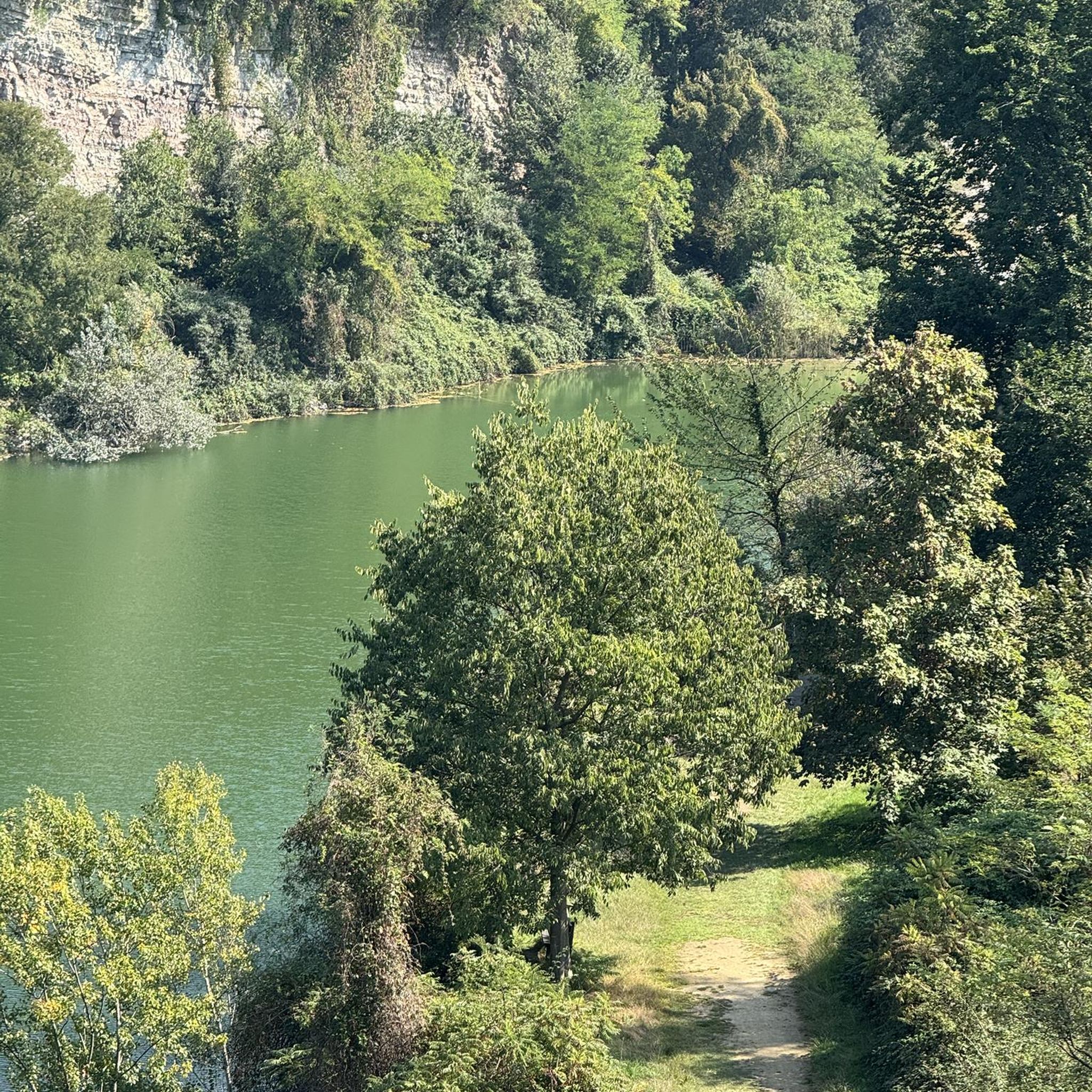
Hiking trails around Escheringen offer varied landscapes, including routes around Escher Lake and through forested paths and meadowlands. The region, located in Luxembourg, provides diverse hiking experiences suitable for various skill levels. Trails range from easy paths to more challenging routes with significant elevation changes. Nature conservation efforts in the Minett region contribute to well-maintained natural areas for exploration.
Best hiking trails around Escheringen
- The most popular hiking route is Trail Start – Thierry van Werveke Mural loop from Volmerange-les-Mines…
Last updated: October 12, 2026
4.1
(40)
187
hikers
12.5km
03:24
170m
170m
Moderate hike. Good fitness required. Easily-accessible paths. Suitable for all skill levels.
4.5
(22)
85
hikers
8.99km
02:24
100m
100m
Moderate hike. Good fitness required. Easily-accessible paths. Suitable for all skill levels.

3.8
(4)
42
hikers
7.01km
02:07
220m
220m
Moderate hike. Good fitness required. Easily-accessible paths. Suitable for all skill levels.
4.4
(11)
28
hikers
12.2km
03:19
180m
180m
Moderate hike. Good fitness required. Easily-accessible paths. Suitable for all skill levels.
4.3
(7)
21
hikers
9.90km
02:39
110m
110m
Moderate hike. Good fitness required. Easily-accessible paths. Suitable for all skill levels.
Get access to more routes and recommendations from other explorers.
Already have an account?
Our route recommendations are based on thousands of hikes, rides, and runs completed by other people on komoot.
Start today with a free account
Your next adventure awaits.
Tips from the Community

clean to get back on the train. Tip Top!
0
0
very varied path with many information signs about industrial history in German
0
0

Mural of the Swiss-Luxembourgish actor and singer. Best known to the German public for his role in "Knockin’ on Heaven’s Door".
2
0

🏰 **South Barracks of Fort de Guentrange – Heart of the Defense near Thionville** The **South Barracks** of Fort de Guentrange** was the central accommodation building for French troops within the extensive fortifications above Thionville. Built between 1899 and 1906 as part of the German fortification system (Moselstellung), it served to house, supply, and organize the soldiers. 🏗️ The barracks are solidly built into the hillside, with thick walls, barrel-vaulted corridors, and several entrances to the actual defense system. Today, it is partially accessible and provides an authentic insight into life within a high-security fort. **Tip:** During a guided tour of the fort, it's worth taking a closer look at the South Barracks – it impressively demonstrates how well-thought-out infrastructure and protection were combined. A must-see for military and architecture enthusiasts.
3
0
🧱 **Northern Battery – The Hidden Wing of Fort de Guentrange** The **Northern Battery** is the northern section of Fort de Guentrange – sheltered in the forest above Thionville. It was part of the fort's outer defenses and served to secure the north side with guns, dugouts, and observation posts. 🌲 Today, the battery lies quietly in the countryside – many of the concrete structures, ditches, and ventilation shafts are still visible, some overgrown. An exciting place for explorers and history buffs. **Tip:** Bring sturdy shoes – the path leads through rough terrain. Particularly interesting for anyone who wants to experience a piece of hidden military history off the beaten track.
3
0
🛡️ **Fort de Guentrange – German Fortification above Thionville** The **Fort de Guentrange** was built between 1899 and 1906 by the German Reich Army when Thionville (then Diedenhofen) was part of the German Empire. It is one of the best-preserved forts along the Moselle River and part of the so-called **Moselstellung** – a defensive line against France. 🔩 The fortress is strategically located above the town, overlooking the Moselle Valley. It consists of underground passages, casemates, ammunition depots, and observation towers – some still with their original furnishings. 🎖️ Today, the fort is a museum (accessible only with a guided tour) and offers fascinating insights into military technology, the daily lives of soldiers, and European border history. **Tip:** Tours usually take place on Sundays – check in advance! The path to the fort already offers great views and is a good hiking stage with a historical destination.
3
0

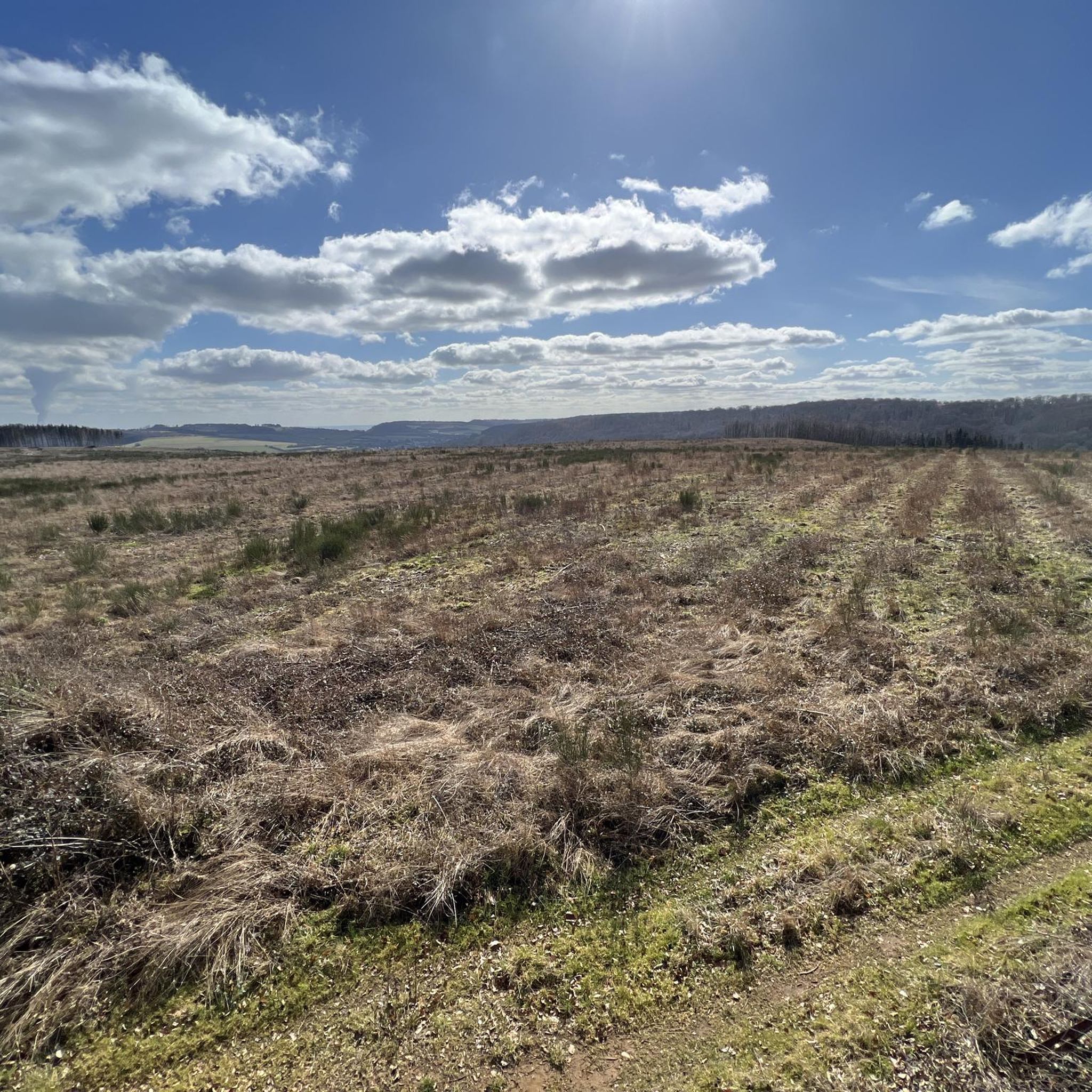
For several decades, southern Luxembourg and the landscape around Tétange were marked by the mining of iron ore, also known as "minette," thus giving the region its name. The Minette Trail follows the iron ore's journey over several stages, from the extraction sites high in the hills to the railway tracks leading out of the valley. Enjoy this trail through the remarkable landscape of former mines and hills, which offer panoramic views of the Kayl Valley and the impressive red cliffs.
0
0

Welcoming place with benches around the monument for a picnic during a walk.
2
0
Frequently Asked Questions
How many hiking trails are available in Escheringen?
Escheringen offers a wide variety of hiking experiences, with over 500 trails recorded. These routes cater to different preferences, from leisurely strolls to more challenging treks.
What kind of terrain can I expect on hikes around Escheringen?
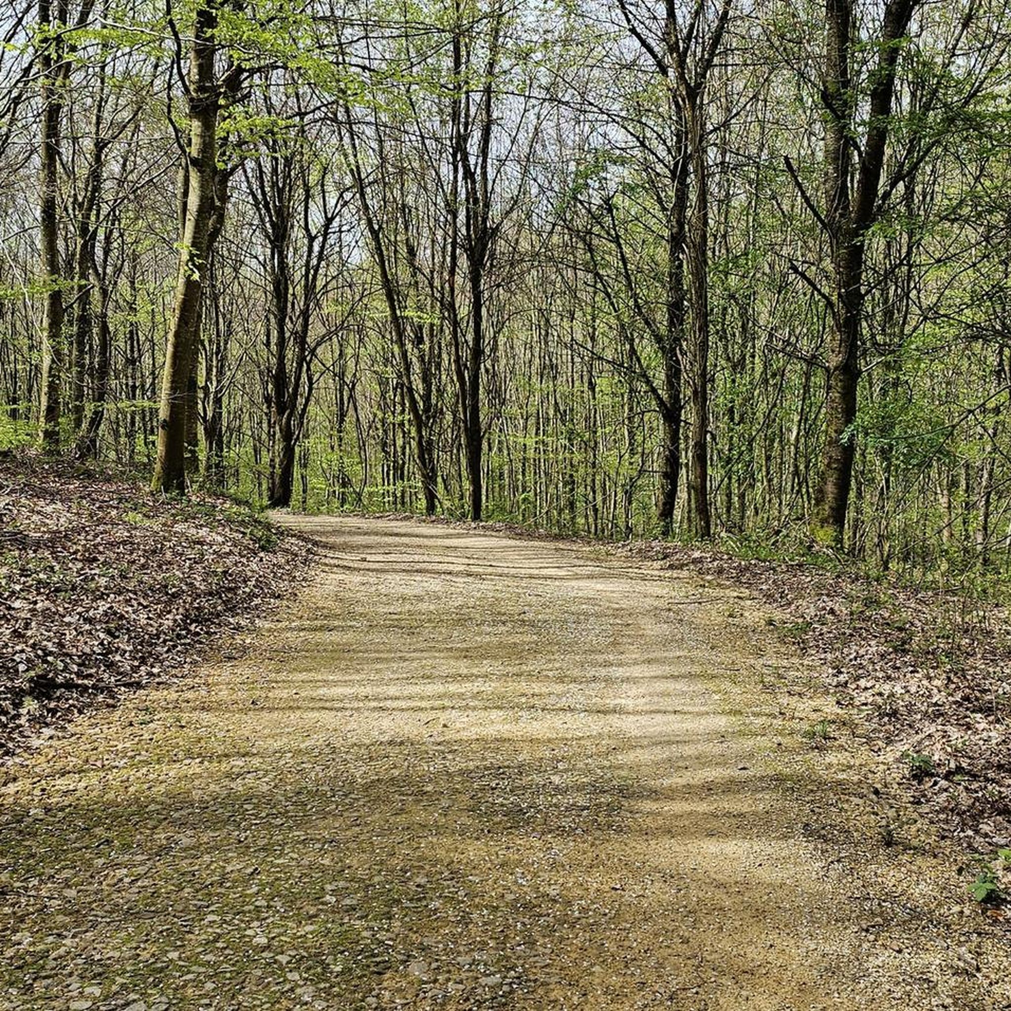
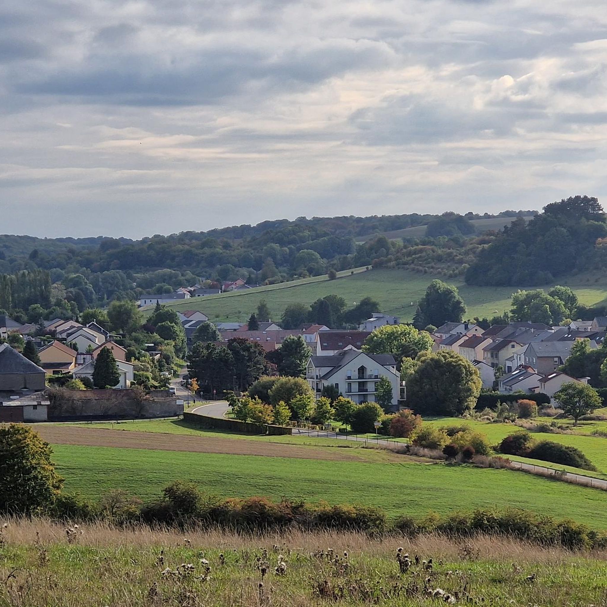
The region around Escheringen features varied landscapes, including paths around the scenic Escher Lake, through dense forested areas, and across open meadowlands. You'll find a mix of gentle paths and routes with significant elevation changes, particularly around the lake and in the Minett region's conservation areas.
Are there easy hiking trails suitable for beginners in Escheringen?
Yes, Escheringen has plenty of options for those seeking easier walks. Approximately half of the available trails, around 250 routes, are classified as easy, making them suitable for beginners or those looking for a relaxed outdoor experience.
Can I find circular hiking routes in Escheringen?
Many of the hiking trails in Escheringen are designed as loops, allowing you to start and end your journey at the same point. For example, the Trail Start – Thierry van Werveke Mural loop from Volmerange-les-Mines is a popular moderate circular route.
What are some notable natural features or landmarks to see while hiking?
While hiking in Escheringen, you can explore several interesting natural features. The Red Cliff of the Former Iron Mine and the Red Rocks are striking geological formations. The region also features the Altenhoven Orchard Nature Reserve, offering a chance to observe local flora.
Are there family-friendly hiking options in Escheringen?
Yes, the area is suitable for families. Many trails around Escher Lake are easy and accessible. Additionally, the nearby Esch Animal Park on Gaalgebierg offers a different outdoor experience with 150 animals, playgrounds, and relaxation areas, making it a great stop for families.
Are dogs allowed on the hiking trails in Escheringen?
Generally, dogs are welcome on hiking trails in Escheringen, especially in the forested paths and open meadowlands. It's always recommended to keep dogs on a leash and clean up after them to respect other hikers and wildlife.
What is the best time of year to go hiking in Escheringen?
Escheringen offers pleasant hiking conditions throughout much of the year. Spring and autumn provide comfortable temperatures and beautiful scenery with blooming flowers or vibrant foliage. Summer is also popular, especially around Escher Lake, while winter hikes can be enjoyed on less challenging routes, weather permitting.
Where can I find parking for hiking trails in Escheringen?
Parking is generally available at trailheads and popular starting points around Escheringen, particularly near Escher Lake and other well-known recreational areas. Look for designated parking lots or roadside parking where permitted.
Are there options for public transport to access hiking trails?
Public transport options are available in the region, connecting to various points around Escheringen. While direct access to every trailhead might vary, local bus services can often get you close to popular hiking areas, including those around Escher Lake and the Ellergronn Nature Conservation Centre.
What is the typical duration for hikes in Escheringen?
Hikes in Escheringen vary greatly in duration. You can find shorter walks lasting up to two hours, perfect for a quick outing. Longer, more strenuous treks can take over five hours, such as the Slag Rock Formations – Old Slag Wagon loop from Volmerange-les-Mines, which typically takes over 5 hours to complete.
What do other hikers say about the trails in Escheringen?
The hiking routes in Escheringen are highly regarded by the komoot community, holding an average rating of 4.5 stars from over 2,200 reviews. Hikers often praise the varied landscapes, well-maintained paths, and the opportunities to explore both natural beauty and historical sites.
Most popular routes around Escheringen
Most popular attractions around Escheringen

Get inspired with the komoot mobile app


Explore more
Browse the best Hikes in other regions.
