The best running trails around Neuweiler
4.5
(166)
5,786
runners
286
runs
Jogging around Neuweiler offers diverse landscapes within the Northern Black Forest region. The municipality is largely forested, with approximately 80% of its area covered by mixed mountain forests of beech, fir, and spruce, providing extensive shaded trails. Situated on plateaus between the Enz and Nagold rivers, the terrain includes both flatter stretches and gentle inclines, with elevations ranging from 439 meters (1,440 ft) to 764 meters (2,507 ft) above sea level. This varied topography allows for a range of running…
Last updated: July 5, 2026
4.0
(1)
11
runners
6.22km
00:40
10m
10m
Moderate run. Good fitness required. Mostly paved surfaces. Suitable for all skill levels.
7
runners
8.80km
00:56
30m
30m
Moderate run. Good fitness required. Mostly paved surfaces. Suitable for all skill levels.

Sign up for free
7
runners
7.83km
00:53
40m
40m
Moderate run. Good fitness required. Mostly paved surfaces. Suitable for all skill levels.
6
runners
10.3km
01:05
50m
50m
Moderate run. Good fitness required. Mostly paved surfaces. Suitable for all skill levels.
6
runners
7.81km
00:52
40m
40m
Moderate run. Good fitness required. Mostly paved surfaces. Suitable for all skill levels.
Get access to more routes and recommendations from other explorers.
Sign up for free
Already have an account?
Our route recommendations are based on thousands of hikes, rides, and runs completed by other people on komoot.
Start today with a free account
Your next adventure awaits.
Login or Signup
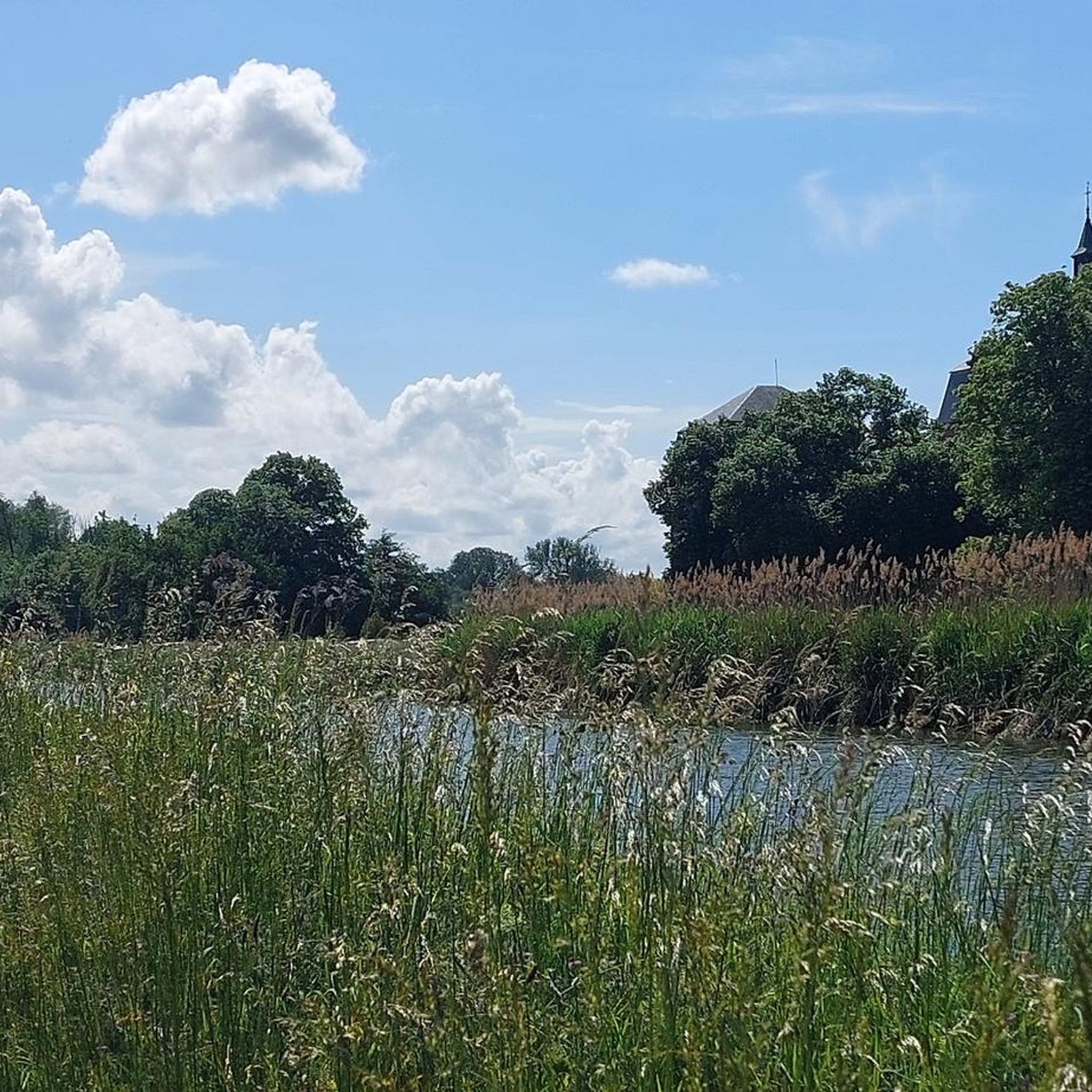
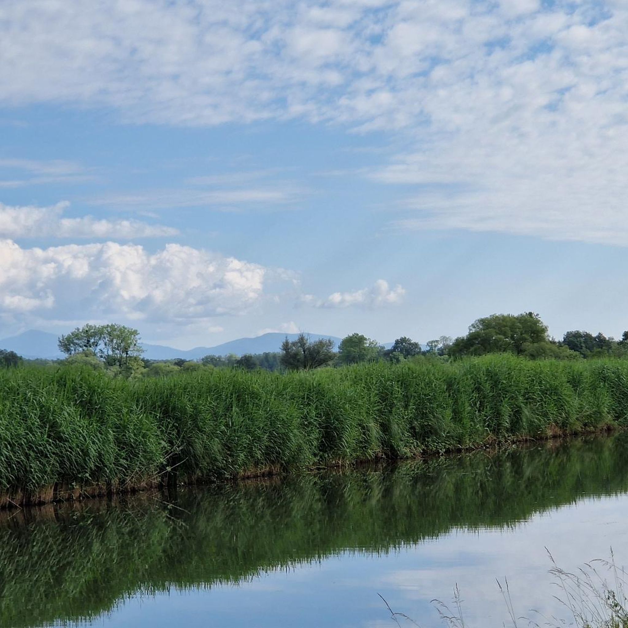

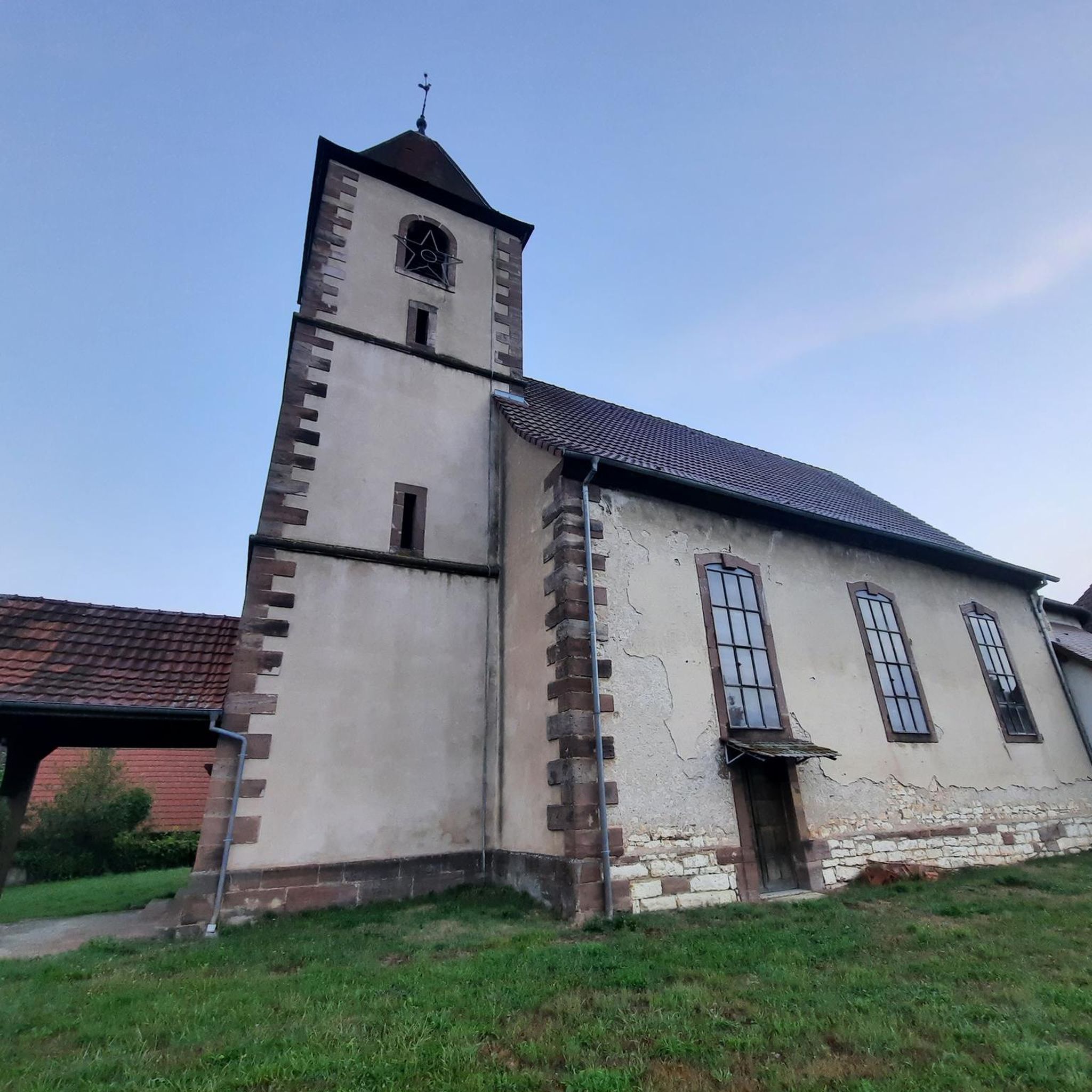
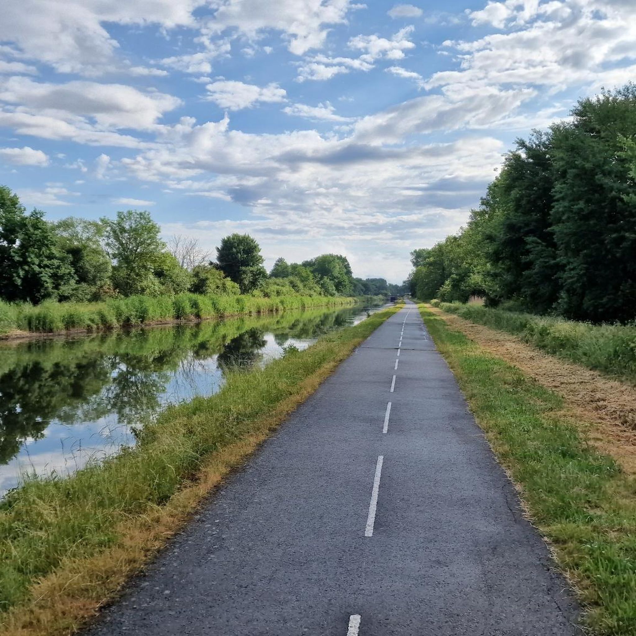
Tips from the Community

Cycle highway at its finest. You move forward quickly.
1
0

A true "highway" along the canal. The EV6 can be driven in the direction of Nantes in a completely relaxed manner.
1
0
Wonderful bike path along the Canal du Rhone au Rhin. Quiet place to take a break.
2
0

Popular mooring with picturesque boats often at this lock with a rise of 3.2 m.
7
1

One of the few benches for a break
1
0

I can only recommend this tour.
3
1

Relaxed cycling along the Canal du Rhône au Rhin on the EV 6 cycle path between Allenjoie and Montreux-Château. More information: https://de.wikipedia.org/wiki/Rhein-Rh%C3%B4ne-Kanal#Technische_Infektur and https://de.wikipedia.org/wiki/EuroVelo
4
1
For cyclists, the canal towpath winds through landscapes of meadows, groves, and fields, punctuated by beautiful clearings. Its rows of trees protect cyclists from the intense Alsatian sun.
9
1
Frequently Asked Questions
How many running routes are available in Neuweiler?
Neuweiler offers a wide selection of over 280 running routes. These range from easy paths suitable for beginners to more challenging trails with varied elevation, ensuring options for every fitness level.
What kind of terrain can I expect on jogging routes in Neuweiler?
Jogging routes in Neuweiler feature diverse terrain, primarily characterized by extensive forests (about 80% of the area). You'll find paths through mixed mountain forests of beech, fir, and spruce, as well as routes on plateaus between the Enz and Nagold rivers. The landscape offers both flatter stretches and gentle inclines, with elevations ranging from 439 to 764 meters above sea level.
Are there any family-friendly running paths in Neuweiler?
Yes, Neuweiler has several easy running paths suitable for families. The varied landscape, including forests and river valleys, provides pleasant and safe environments for a family jog. For a fun destination, consider routes that could lead towards the Wildlife Park Gaugenwald, which features animals and a playground.
Can I bring my dog on the running trails in Neuweiler?
Many of the natural trails and forest paths in Neuweiler are dog-friendly, making it a great place to run with your canine companion. Given the extensive forested areas, there's plenty of space for dogs to enjoy the outdoors. Always ensure your dog is under control and check local regulations regarding leashes.
What are some scenic viewpoints or attractions I can discover while running?
Neuweiler's routes offer several scenic highlights. You can find 'AugenBlick' (Eye-Catching) viewing points, such as those in Agenbach and Oberkollwangen, which provide panoramic views of the Black Forest and Swabian Alb. The Canal du Rhône au Rhin is also a notable feature along some routes, offering pleasant waterside scenery. For a specific route with great views, consider the Canal du Rhône au Rhin loop from Petit-Croix.
Are there any circular running routes in the Neuweiler area?
Yes, many of the running routes in Neuweiler are circular, allowing you to start and end your run at the same point. For example, the Running loop from Petit-Croix is a popular moderate circular path, and the Canal du Rhône au Rhin loop from Bretagne also offers a scenic circular experience.
What do other runners enjoy most about jogging in Neuweiler?
The running routes in Neuweiler are highly rated by the komoot community, with an average score of 4.4 stars from over 150 reviews. Runners frequently praise the extensive, shaded forest trails, the varied topography that keeps runs interesting, and the overall immersion in the beautiful Black Forest nature.
Are there options for longer distance running in Neuweiler?
Absolutely. With over 280 routes, Neuweiler provides ample opportunities for long-distance running. Many trails extend through the vast forested areas and connect various plateaus and valleys, allowing you to combine segments for longer, more challenging runs. The Running loop from Autrechêne is a good example of a longer route, covering nearly 12 km.
Are there any places to stop for refreshments along the running routes?
Yes, for those looking to combine their run with a refreshment stop, the Grünhütte (Green Hut) is a popular mountain hut known for its food and as a perfect place to refuel. Its location makes it a potential destination or waypoint for longer jogging routes, offering a pleasant break amidst nature.
How can I access the running trails using public transport?
While many routes are best accessed by car, some running trails in Neuweiler can be reached via public transport, particularly those closer to the main villages. For detailed information on bus connections and stops near specific trailheads, it's advisable to check local public transport schedules for the Neuweiler municipality. You can find more general information about Neuweiler at Wikipedia.
What is the best time of year for running in Neuweiler?
Neuweiler offers excellent running conditions throughout much of the year. The extensive forests provide welcome shade during warmer summer months, while spring and autumn bring vibrant colors and pleasant temperatures. Even in winter, many trails are accessible, offering a serene experience in the snow-covered Black Forest, though conditions may vary.
Are there any routes that pass by historical sites or landmarks?
While the focus is on natural beauty, some routes may pass by or offer views of historical elements. For instance, the Citadel of Belfort is a significant historical site in the broader region that can be seen from certain vantage points or incorporated into a longer exploration. The 'AugenBlick-Runde Agenbach' also takes you through a historic village center.
Most popular attractions around Neuweiler

Get inspired with the komoot mobile app


Explore more
Browse the best Running Trails & Routes in other regions.
