The best walks and hikes around Cransac
4.3
(44)
252
hikers
25
hikes
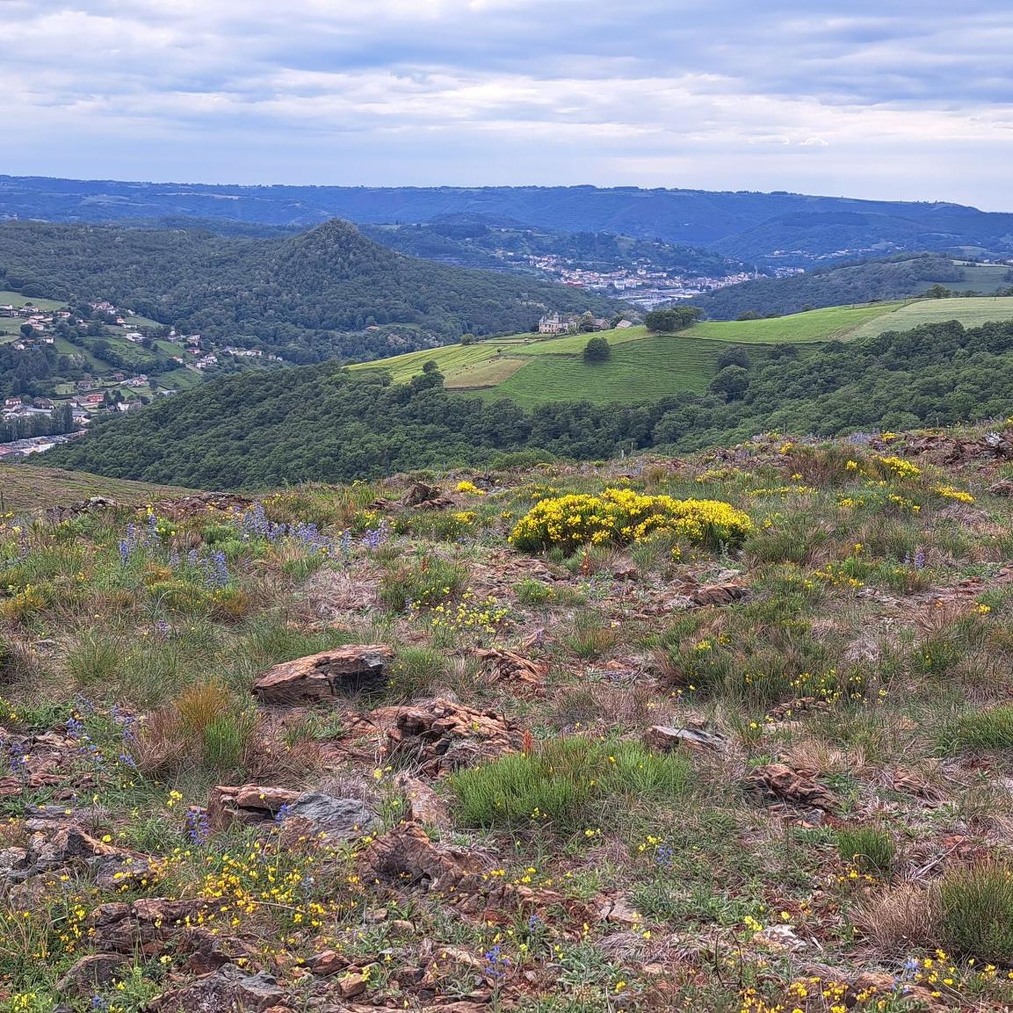
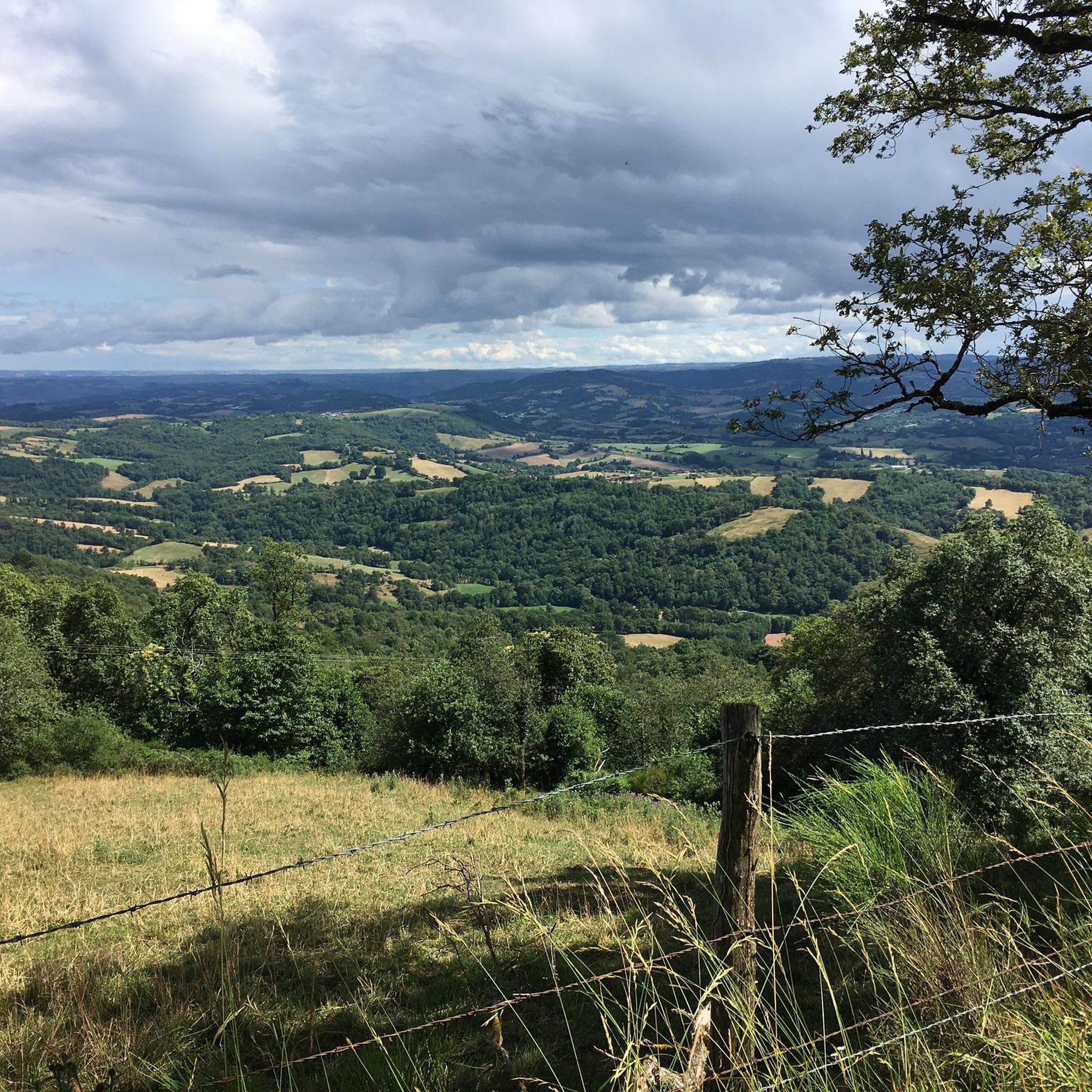
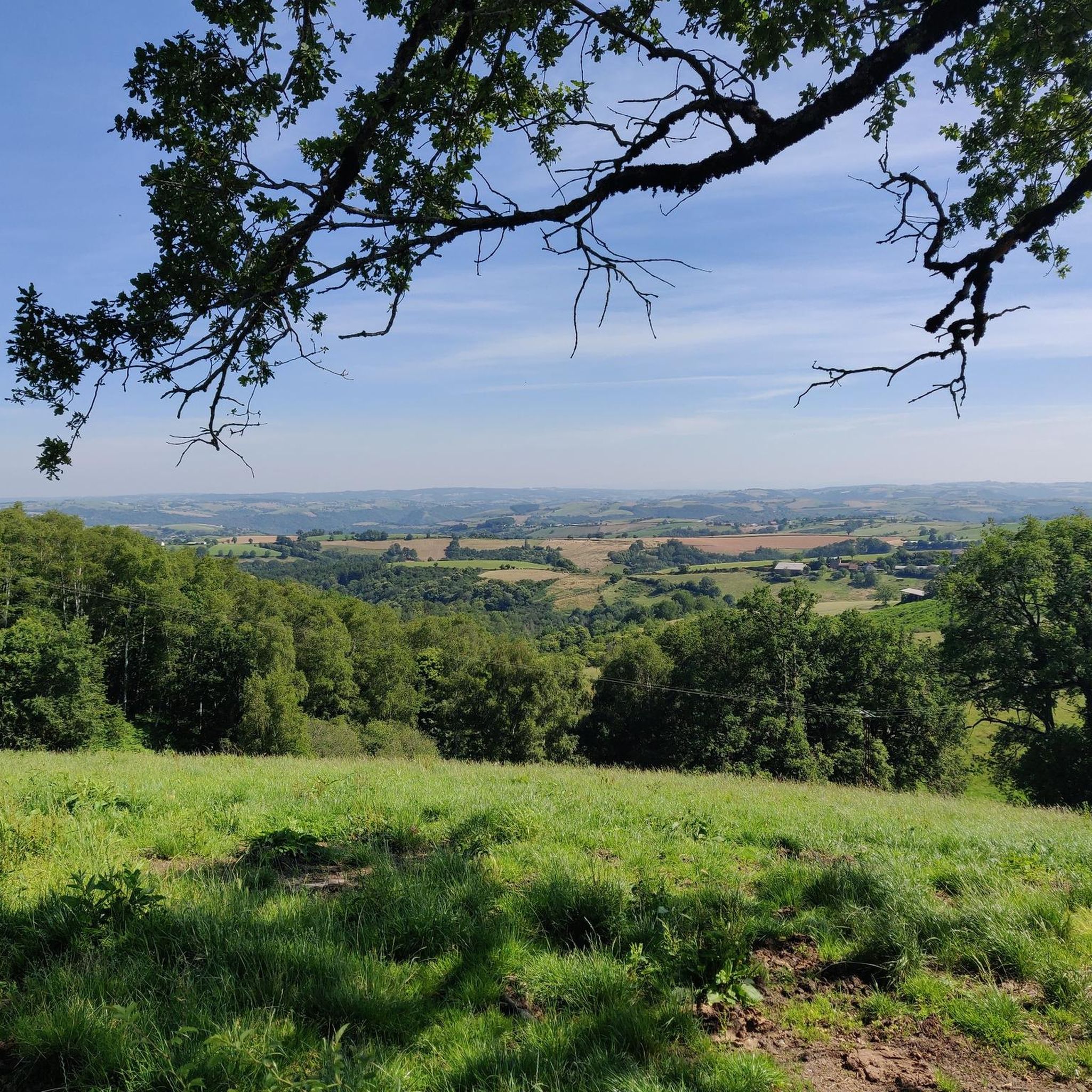
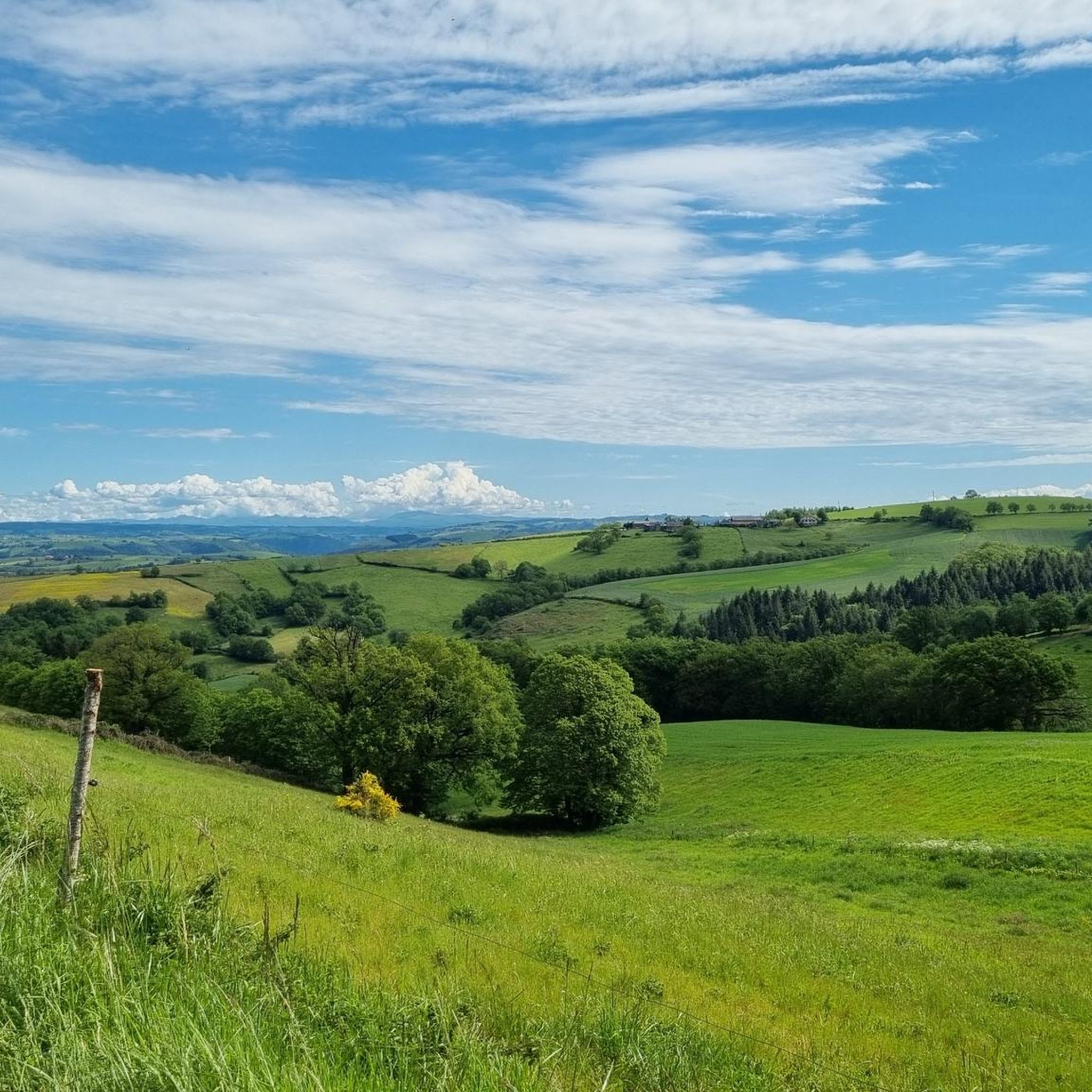
Hiking around Cransac offers diverse landscapes within the Aveyron department of the Occitanie region. The area features the Vaysse Forest, known as Europe's first robinia forest, and is characterized by picturesque chestnut forests. Nearby, the Aveyron Gorges provide spectacular scenery, while the Lot river flows through charming villages. The region also includes hills with disused coal mines and is close to sections of the GR65 pilgrimage route.
Best hiking trails around Cransac
- The most popular hiking route is Pt de…
Last updated: June 25, 2026
4.0
(2)
17
hikers
11.2km
03:18
310m
310m
Hard hike. Good fitness required. Sure-footedness, sturdy shoes and alpine experience required.
4
hikers
13.0km
03:53
400m
400m
Moderate hike. Good fitness required. Easily-accessible paths. Suitable for all skill levels.

Sign up for free
6
hikers
8.79km
02:35
250m
250m
Moderate hike. Good fitness required. Easily-accessible paths. Suitable for all skill levels.
5.0
(1)
6
hikers
15.1km
04:30
450m
450m
Moderate hike. Good fitness required. Easily-accessible paths. Suitable for all skill levels.
4.0
(1)
3
hikers
7.58km
02:06
120m
120m
Hard hike. Good fitness required. Sure-footedness, sturdy shoes and alpine experience required.
Get access to more routes and recommendations from other explorers.
Sign up for free
Already have an account?
Our route recommendations are based on thousands of hikes, rides, and runs completed by other people on komoot.
Start today with a free account
Your next adventure awaits.
Login or Signup
Tips from the Community

We passed and enjoyed this during our Camino trip in 2025: https://youtu.be/SbGBzvQMePw
0
0
We passed and enjoyed this during our Camino trip in 2025: https://youtu.be/SbGBzvQMePw
0
0

Frequently Asked Questions
How many hiking trails are available around Cransac?
There are over 15 hiking routes available around Cransac, offering a variety of experiences for different skill levels. You'll find everything from easy forest walks to more challenging paths through historical areas.
What types of terrain can I expect on hikes near Cransac?
Hiking around Cransac features diverse terrain. You can expect paths through the unique Vaysse Forest, Europe's first robinia forest, as well as picturesque chestnut forests. Some routes also explore the varied landscapes around the Lot river and the historical areas of nearby towns like Aubin.
Are there any easy, family-friendly hiking options in Cransac?
Yes, Cransac offers several easy routes suitable for families. A great option is the Pt de vue – Forêt de la Vaysse loop from Cransac-les-Thermes, which is an easy 3.1-mile (5.0 km) trail exploring the Vaysse Forest and offering scenic viewpoints. This route is generally completed in under 1.5 hours.
Are there any circular hiking routes around Cransac?
Many of the trails around Cransac are circular, allowing you to start and end at the same point. For example, the Les Eaux Vertes – Forêt de la Vaysse loop from Cransac is a moderate 6.4-mile (10.3 km) loop that takes you through the Les Eaux Vertes area and the Vaysse Forest.
What are some notable natural features or viewpoints I can see while hiking?
The region boasts several natural highlights. The Vaysse Forest itself is a unique feature, and many trails offer viewpoints overlooking its canopy. The nearby Aveyron Gorges provide spectacular scenery, and you might even encounter the distinctive natural wonder of hills with disused coal mines that have been burning for centuries to the north of Cransac.
What historical landmarks or attractions can I visit near the hiking trails?
Cransac is surrounded by rich history. You can explore the historical areas of Aubin, including its old town and fort, on routes like the Allotments – Fort and Old Town of Aubin loop from Cransac-les-Thermes. Additionally, the region is home to charming villages like Conques and Belcastel, both classified among "The Most Beautiful Villages of France," and the Renaissance Château de Bournazel, which is only 8 km south.
Is Cransac a good destination for dog-friendly hiking?
Yes, Cransac offers many trails suitable for hiking with dogs. The extensive forest paths, such as those in the Vaysse Forest, provide ample space for your canine companion to enjoy the outdoors. Always ensure your dog is on a leash where required and respect local wildlife.
What is the best season for hiking in Cransac?
The best seasons for hiking in Cransac are generally spring and autumn, when the weather is mild and the natural landscapes are particularly vibrant. Spring brings blooming flora, while autumn showcases the beautiful colors of the chestnut and robinia forests. Summer can also be pleasant, especially for early morning or late afternoon hikes to avoid the midday heat.
Are there any challenging or difficult hikes around Cransac?
For those seeking a challenge, Cransac does offer more difficult routes. The Allotments – Fort and Old Town of Aubin loop from Cransac-les-Thermes is a difficult 6.9-mile (11.2 km) path with significant elevation changes, leading through the historical areas of Aubin.
Where can I find parking at the trailheads in Cransac?
Many of the hiking routes around Cransac, particularly those starting from Cransac-les-Thermes, offer convenient parking options near the trailheads. Specific parking details can often be found on individual route descriptions or local signage. It's advisable to check the starting point of your chosen route for the most accurate parking information.
What do other hikers enjoy most about the trails in Cransac?
The hiking trails in Cransac are highly rated by the komoot community, with an average score of 4.2 stars from over 70 reviews. Hikers often praise the diverse landscapes, the tranquility of the Vaysse Forest, and the well-maintained paths that cater to various fitness levels.
Are there any thermal springs or wellness opportunities near the hiking areas?
Cransac is historically recognized for its mineral springs and thermal baths. After a day of hiking, you can take advantage of these facilities for relaxation and wellness, making it a perfect complement to your outdoor activities.
Most popular attractions around Cransac

Get inspired with the komoot mobile app


Explore more
Browse the best Hikes in other regions.
