The best running trails around Ramonchamp
4.4
(119)
3,807
runners
11
runs
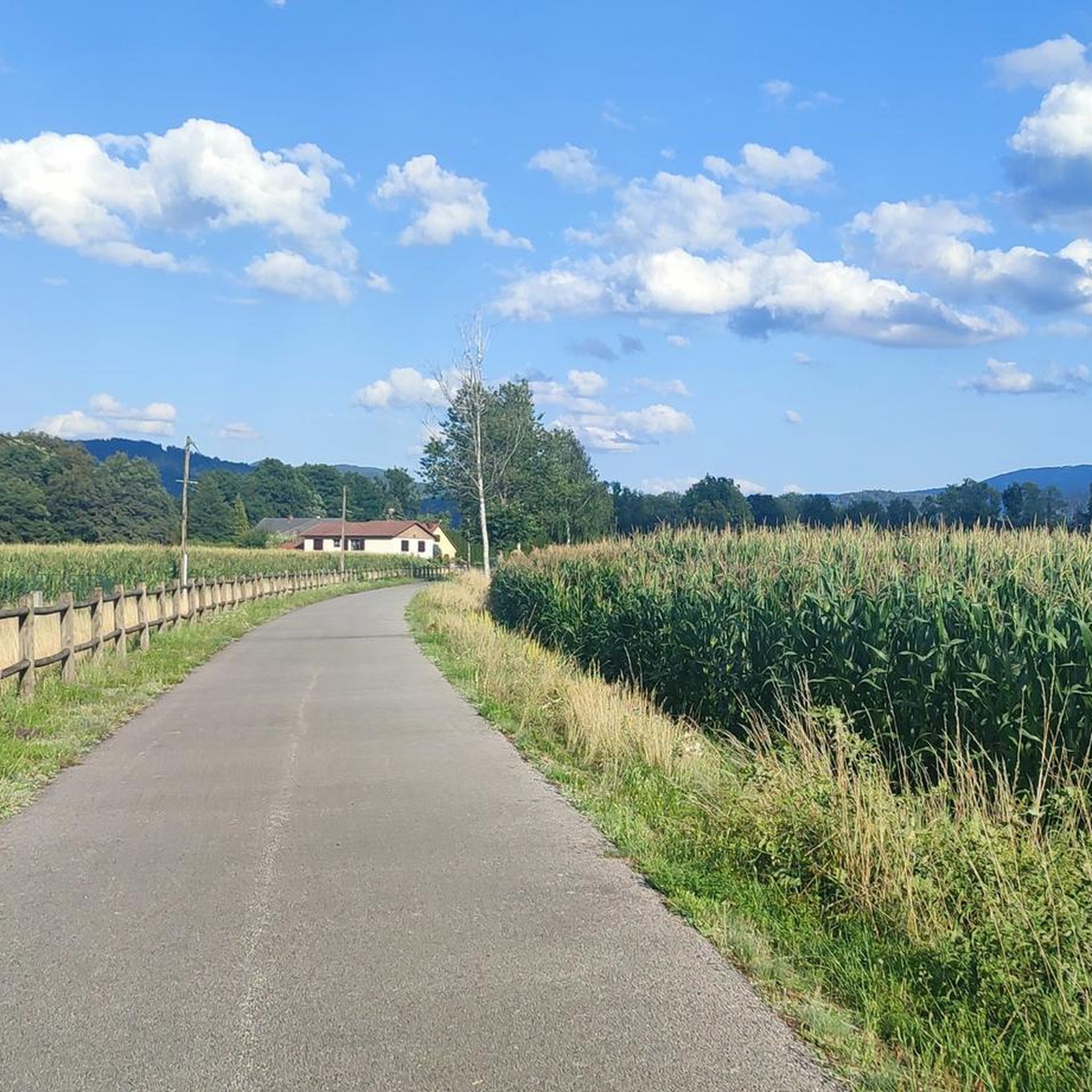
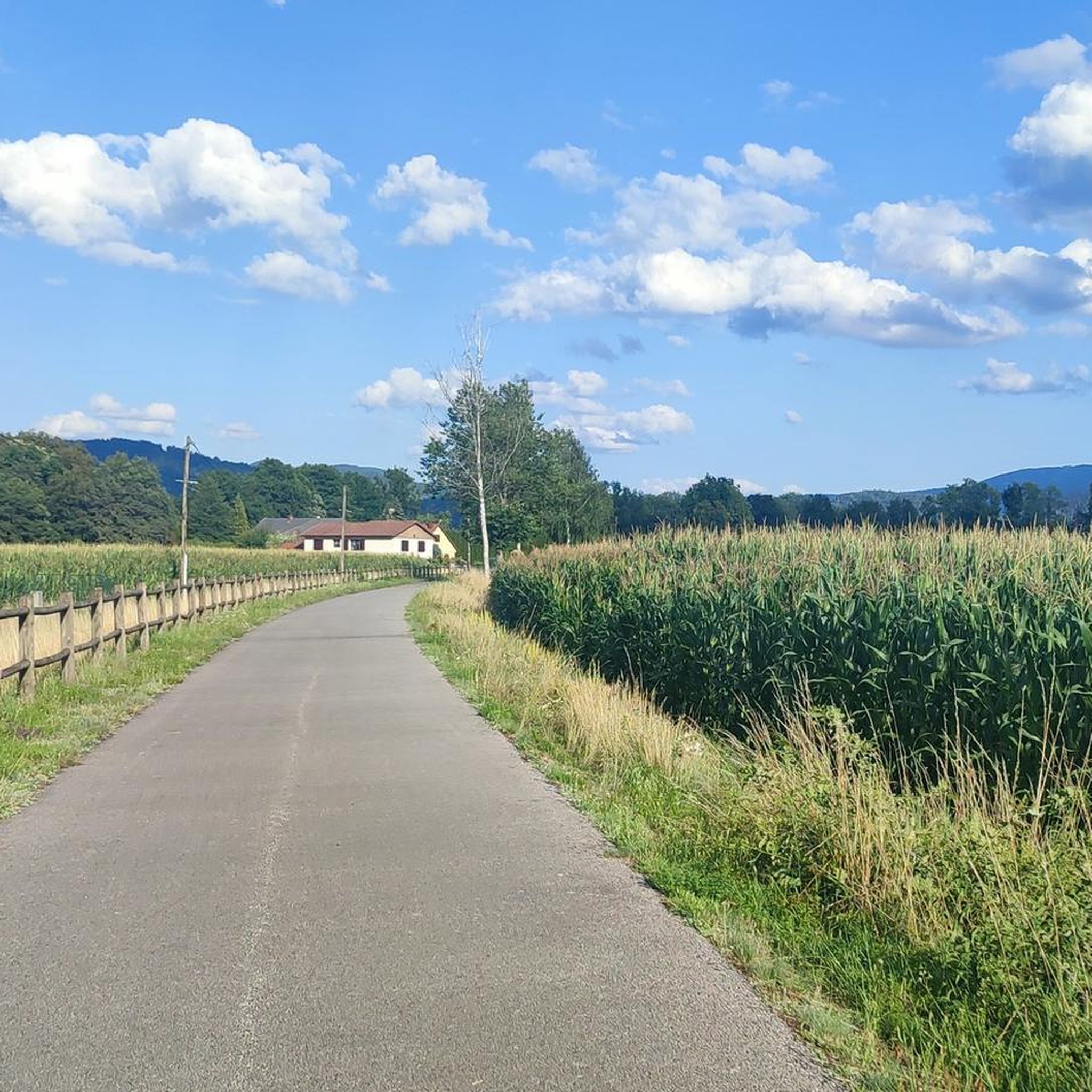
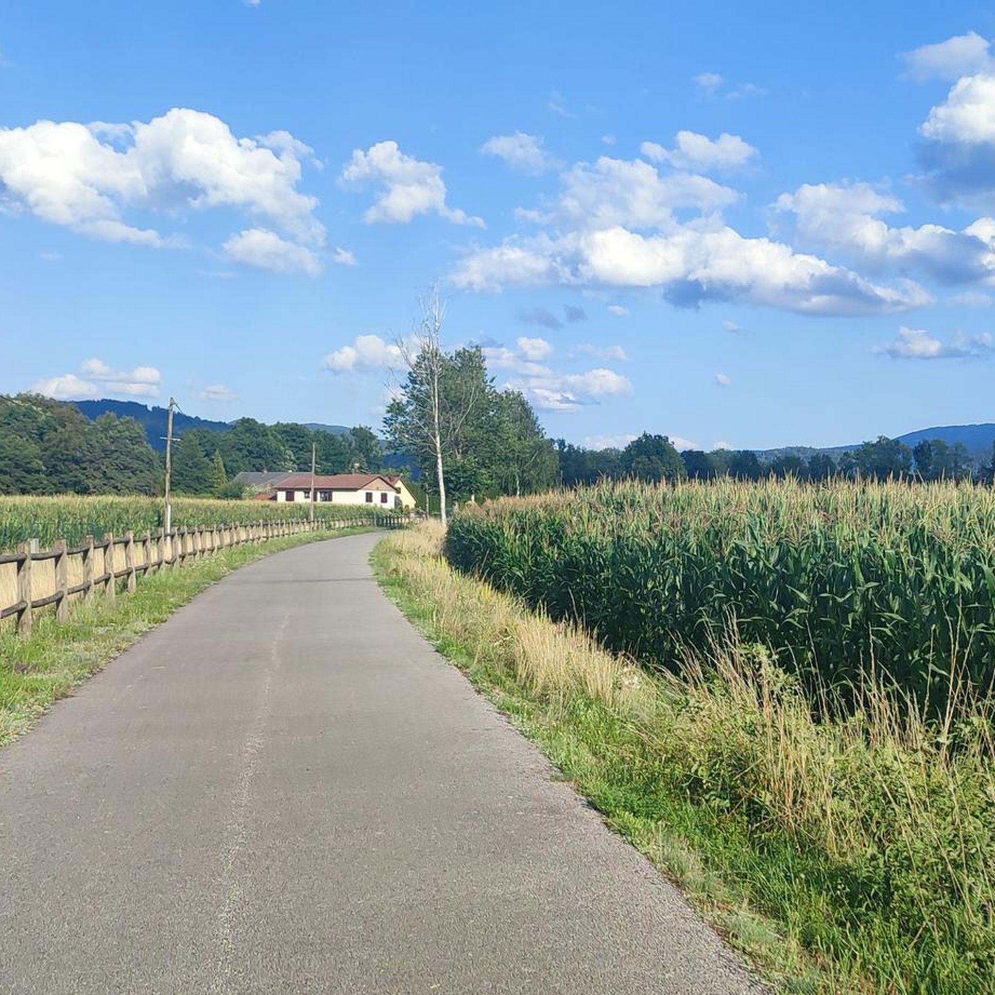
Jogging around Ramonchamp offers diverse landscapes within the Upper Moselle valley, characterized by elevations ranging from 450 to 900 meters. The area features extensive forested territory, providing shaded routes through woodlands. The Moselle river flows through the region, offering riverside running paths, while dedicated multi-activity greenways provide accessible, relatively flat surfaces for runners.
Best jogging routes around Ramonchamp
- The most popular jogging route is Black Pond – On the heights of Ramonchamp loop from Ramonchamp, a 6.4 miles (10.3…
Last updated: October 8, 2026
4.0
(1)
50
runners
12.7km
01:39
350m
350m
Hard run. Very good fitness required. Mostly paved surfaces. Suitable for all skill levels.
25
runners
33.9km
04:31
1,110m
1,120m
Hard run. Very good fitness required. Mostly paved surfaces. Suitable for all skill levels.

5.0
(1)
16
runners
6.24km
00:39
40m
40m
Moderate run. Good fitness required. Mostly paved surfaces. Suitable for all skill levels.
4.0
(1)
5
runners
12.0km
01:27
410m
410m
Hard run. Very good fitness required. Mostly paved surfaces. Suitable for all skill levels.
16
runners
7.52km
00:47
30m
30m
Moderate run. Good fitness required. Mostly paved surfaces. Suitable for all skill levels.
Get access to more routes and recommendations from other explorers.
Already have an account?
Our route recommendations are based on thousands of hikes, rides, and runs completed by other people on komoot.
Start today with a free account
Your next adventure awaits.



Other adventures around Ramonchamp

Tips from the Community

The former train station of Le Thillot (la gare du Thillot) is a historic monument that played a central role in the region's transformation. Opened in 1879 on the railway line between Épinal and Bussang, the SNCF definitively closed the station in 1989. The building has been completely renovated and now houses the Maison des Hautes‑Mynes, the visitor center for the historic copper mines. The former railway bed has been transformed into the Voie Verte des Hautes‑Vosges, a car-free cycle path connecting Remiremont with Bussang. Directly next to the station also starts the Voie du Tacot, an educational route along the old narrow-gauge railway line.
7
0

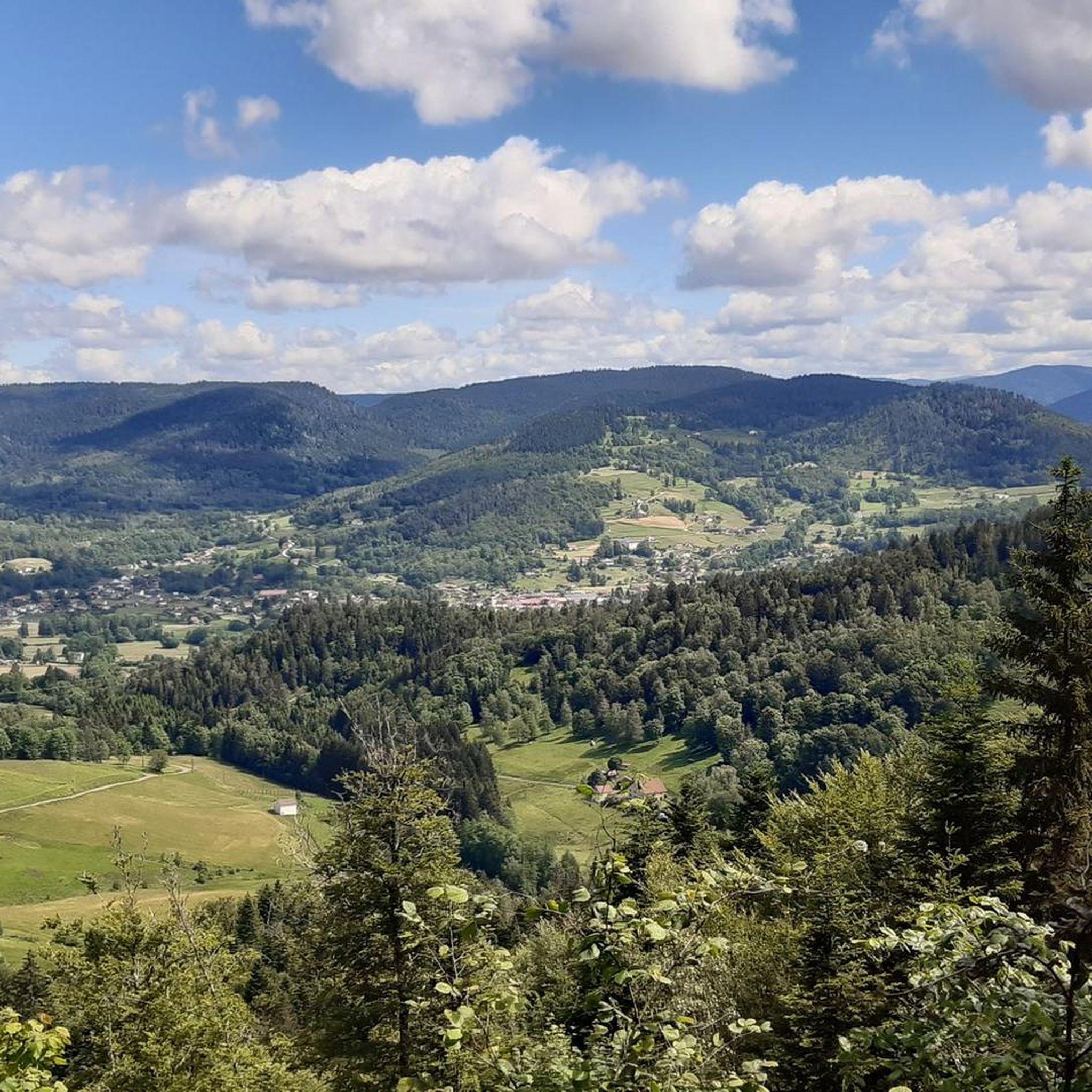
At an altitude of 700 meters, the slopes steepen and the vegetation disappears in this place, to the delight of the eyes. The view over the Upper Moselle valley is lovely.
2
0
The Black Pond is part of a set of ten ponds that can be explored thanks to a marked five-kilometre route. This peaceful place is a delight for hikers and fishermen.
4
0

Le Thillot is a village of 3,400 inhabitants located in the Vosges department, whose station was put into service in 1879. The station was closed by the SNCF in 1989. Le Thillot is a popular stopover among cyclists exploring the surrounding peaks.
4
0

Former train station in Le Thillot on the former railway line to Bussang. Very nicely designed with benches, right on the bike path. More information: https://de.wikipedia.org/wiki/Le_Thillot#Wirtschaft_und_Inf looks, https://de.wikipedia.org/wiki/Bahnstrecke_%C3%89pinal%E2%80%93Bussang and https: //www.paysderemiremont .fr / voieverte /
7
0
Frequently Asked Questions
How many running routes are available around Ramonchamp?
Ramonchamp offers a wide variety of running experiences, with nearly 300 routes available. These range from easy paths to more challenging trails, catering to all fitness levels.
What kind of terrain can I expect on jogging routes in Ramonchamp?
Jogging routes in Ramonchamp feature diverse terrain, from tranquil forested paths and riverside trails along the Moselle to more challenging mountainous sections. The region's elevation, ranging from 450 to 900 meters, ensures varied landscapes for runners.
Are there any easy or beginner-friendly running routes in Ramonchamp?
Yes, Ramonchamp has 24 easy running routes, perfect for beginners or those looking for a relaxed jog. Many of these utilize the relatively flat and well-maintained Voie Verte des Hautes-Vosges, a multi-activity path ideal for a gentle run.
Can I find circular jogging routes in the Ramonchamp area?
Absolutely. Many routes in Ramonchamp are designed as loops, allowing you to start and finish in the same location. An example is the Black Pond – On the heights of Ramonchamp loop from Ramonchamp, which offers varied terrain and scenic views.
What are some notable natural attractions or landmarks I might see while running in Ramonchamp?
While running in Ramonchamp, you can encounter several natural landmarks. The region is close to significant sites like the Ballon d'Alsace and Ballon de Servance, offering panoramic views. You might also explore routes near the unique Étang de la Peau or the scenic Col de Morbieux.
Are there any long-distance running options or challenging trails in Ramonchamp?
For experienced runners seeking a challenge, Ramonchamp offers 115 difficult routes. These include longer distances and significant elevation changes, such as the Col des Croix – Étang de la Peau loop from Le Thillot, which spans over 27 km through mountainous terrain.
What do other runners say about the trails in Ramonchamp?
The running trails in Ramonchamp are highly regarded by the komoot community, boasting an average rating of 4.5 stars from over 70 reviews. Users frequently praise the diverse landscapes, from quiet woodlands to scenic river paths, and the well-maintained routes.
Are there any specific paths suitable for running with a stroller or for families with young children?
For family-friendly runs or those with strollers, the Voie Verte des Hautes-Vosges is an excellent choice. This former railway line is now a multi-activity path, offering a flat, well-maintained, and safe surface ideal for a relaxed family jog.
Can I access running routes in Ramonchamp using public transport?
Ramonchamp is situated in the Upper Moselle valley, and the Voie Verte des Hautes-Vosges, which traverses the area, connects several towns. While specific public transport links to trailheads vary, the greenway itself offers accessible points from different villages, making it possible to start your run without a car.
Are there shaded running routes in Ramonchamp for warmer days?
Yes, a significant portion of Ramonchamp's territory, approximately 500 hectares, is forested. This means many running routes wind through woodlands, providing ample shade and a cooler environment, which is particularly pleasant during warmer weather.
What is the best time of year for jogging in Ramonchamp?
Ramonchamp offers enjoyable jogging conditions throughout much of the year. Spring and autumn provide pleasant temperatures and beautiful scenery with changing foliage. Summer offers shaded forest routes, while winter can transform the landscape for those who enjoy cold-weather running, though trail conditions may vary.
Are there any routes that offer views of the Moselle river?
Yes, the Moselle river flows through Ramonchamp, and many routes, particularly those utilizing the Voie Verte des Hautes-Vosges, follow its course. These riverside paths offer picturesque views and a refreshing environment for your run.
Most popular routes around Ramonchamp
Most popular attractions around Ramonchamp

Get inspired with the komoot mobile app


Explore more
Browse the best Running Trails & Routes in other regions.
