The best running trails around Sainte-Foy-Saint-Sulpice
4.5
(45)
1,550
runners
210
runs
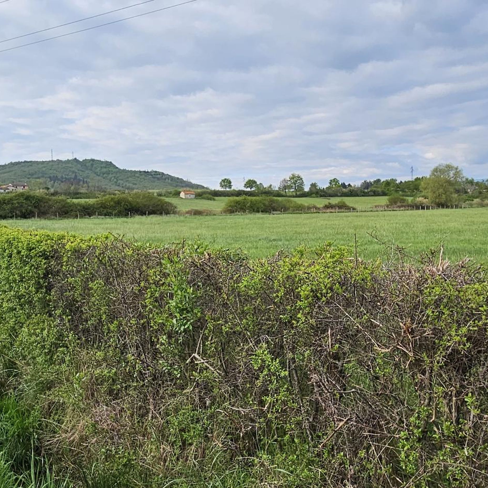
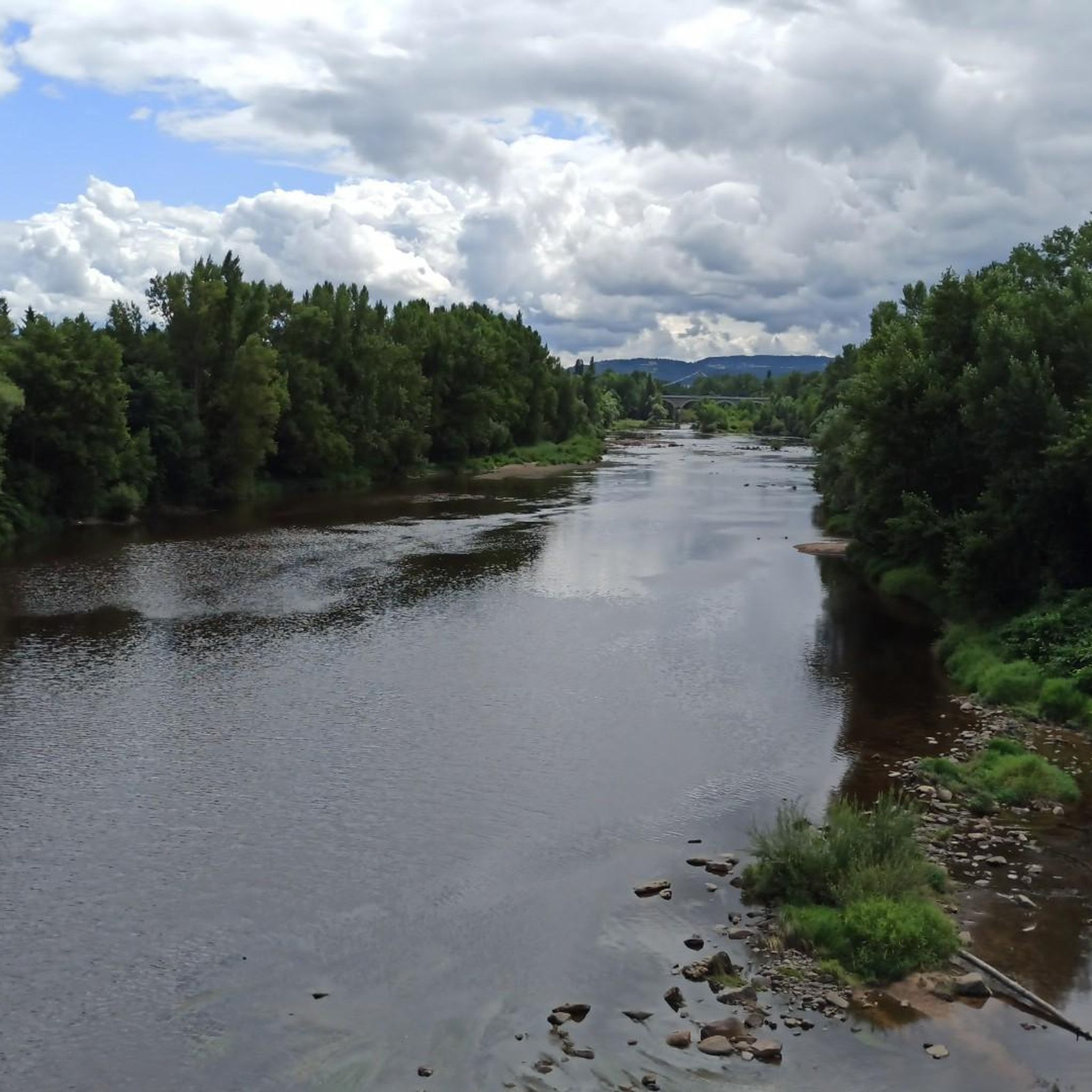
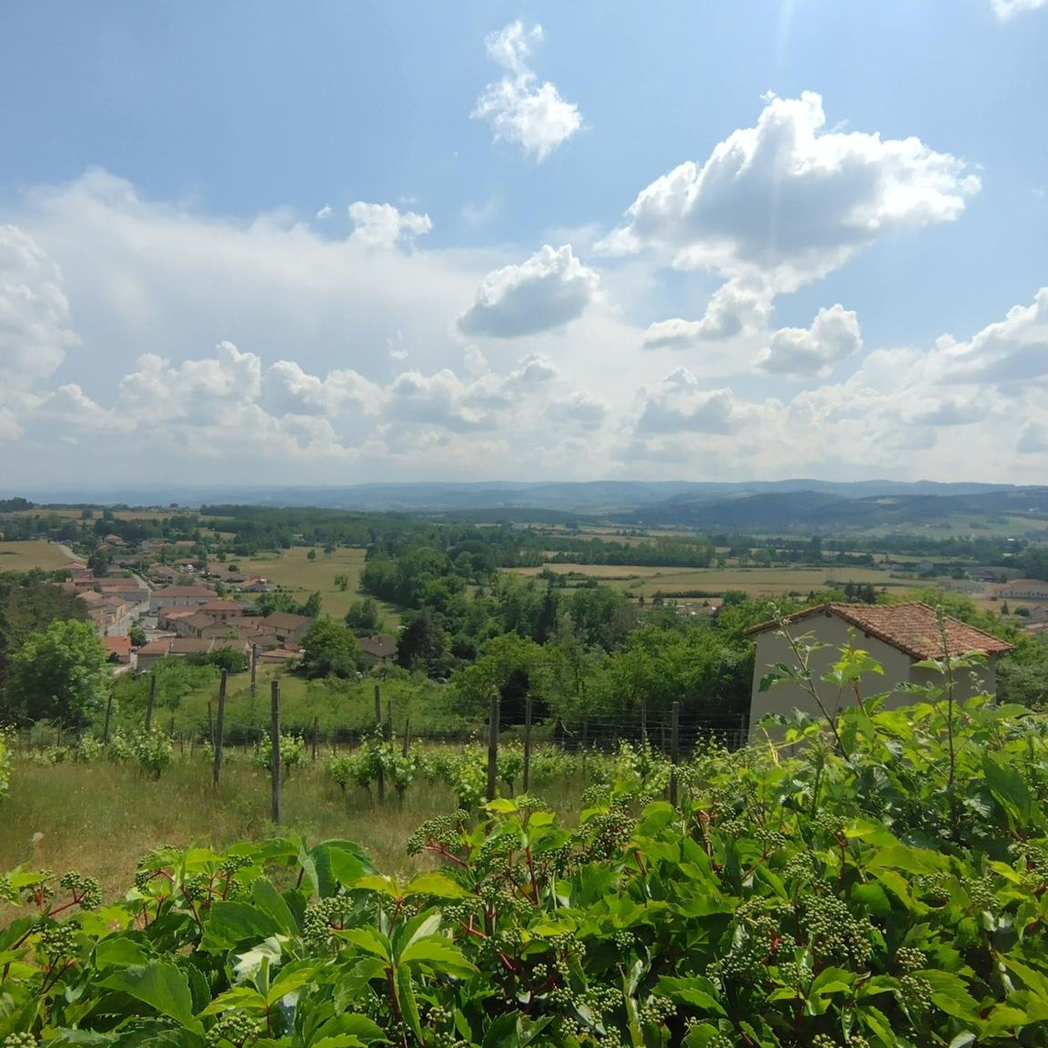
Jogging routes around Sainte-Foy-Saint-Sulpice traverse a diverse natural landscape in the Loire department of central France. The commune features extensive prairies, significant forest areas, and numerous continental waters, including many ponds. Elevations range from 327 to 401 meters, providing varied terrain with gentle inclines and declines suitable for running. This rural setting offers tranquil paths through fields, woodlands, and along waterside routes, with some running paths Sainte-Foy-Saint-Sulpice offering views of the Monts du Forez.
Best jogging routes around Sainte-Foy-Saint-Sulpice
- The…
Last updated: July 11, 2026
8
runners
15.0km
01:35
90m
90m
Moderate run. Good fitness required. Mostly paved surfaces. Suitable for all skill levels.
10
runners
14.2km
01:30
80m
80m
Moderate run. Good fitness required. Mostly paved surfaces. Suitable for all skill levels.

Sign up for free
5
runners
6.49km
00:41
40m
40m
Moderate run. Good fitness required. Mostly paved surfaces. Suitable for all skill levels.
4
runners
Moderate run. Good fitness required. Mostly paved surfaces. Suitable for all skill levels.
3.0
(4)
4
runners
5.49km
00:34
30m
30m
Moderate run. Good fitness required. Mostly paved surfaces. Suitable for all skill levels.
Get access to more routes and recommendations from other explorers.
Sign up for free
Already have an account?
Our route recommendations are based on thousands of hikes, rides, and runs completed by other people on komoot.
Start today with a free account
Your next adventure awaits.
Login or Signup

Tips from the Community

Wonderfully impressive history with a view. https://huettemann.eu/de/2024/02/bergauf-bergab-an-die-loire-berndscamino/
0
0

The monastery was built in the 8th century in cinder stones. The current buildings have been restored. They date from the 15th century. The whole is made up of the church (12th and 15th centuries), the Prior's dwelling, the gallery (15th century), the vaulted cellar (13th century) and the chapter house.
4
0
This Casadean priory (congregation of La Chaise-Dieu) stands on a basaltic peak in the heart of the Forez plain. The peak offers a magnificent 360° view of the Monts du Forez and the Monts du Lyonnais.
4
1
Magical atmosphere, especially at dusk.
4
0

Apart from the fantastic view, it is something special to spend the night in the old walls.
6
0

This very well restored old monastery now serves, among other things, as a hostel for pilgrims and hikers.
5
0

Magnificent place with only small roads or paths in the middle of nature.
0
0
Frequently Asked Questions
How many running routes are available around Sainte-Foy-Saint-Sulpice?
There are over 200 running routes recorded in Sainte-Foy-Saint-Sulpice and the surrounding area on komoot. These routes offer a variety of distances and difficulty levels to suit different preferences.
What is the general difficulty level of running trails in this area?
The majority of running routes in Sainte-Foy-Saint-Sulpice are classified as moderate, with 163 moderate trails. There are also 13 easy routes suitable for beginners and 35 more challenging options for experienced runners.
What kind of landscape can I expect while jogging in Sainte-Foy-Saint-Sulpice?
You can expect a diverse natural landscape characterized by extensive prairies, significant forest areas, and numerous continental waters. The commune is famously known for its '42 ponds', offering picturesque waterside routes. The varied elevation, ranging from 327 to 401 meters, provides gentle inclines and declines, adding variety to your run.
Are there any family-friendly jogging routes in Sainte-Foy-Saint-Sulpice?
Yes, there are several easy routes that are suitable for families looking for a gentle jog. These trails typically feature flatter terrain and shorter distances, allowing for an enjoyable experience for all ages. Look for routes classified as 'easy' on komoot.
Can I bring my dog on the running trails?
Many trails in the rural areas around Sainte-Foy-Saint-Sulpice are dog-friendly. However, it's always recommended to keep your dog on a leash, especially when passing through agricultural land or near livestock, and to respect local regulations regarding pets in natural spaces.
Are there circular running routes available?
Yes, many of the running routes in the region are circular, allowing you to start and finish at the same point. For example, the Bâtie d'Urfé – Montverdun Priory loop from Saint-Étienne-le-Molard is a popular circular option, as is the Bâtie d'Urfé loop from Saint-Étienne-le-Molard.
What natural features or landmarks can I see while running?
While jogging, you might encounter various points of interest. Some routes pass near historical sites such as Montverdun Priory or La Bâtie d'Urfé Castle. The region's numerous ponds also offer scenic views and tranquil spots along many trails, such as the Étang la Motte loop from Loire.
What are the parking options near the jogging routes?
Given the rural nature of Sainte-Foy-Saint-Sulpice, parking is generally available in village centers or designated areas near popular trailheads. It's advisable to check the starting point of your chosen route on komoot for specific parking recommendations.
When is the best time of year to go jogging in Sainte-Foy-Saint-Sulpice?
The region is pleasant for jogging during spring, summer, and early autumn. Spring offers lush greenery and blooming landscapes, while autumn provides beautiful fall colors. Summers are generally mild, but it's always wise to run during cooler parts of the day. Winters can be chilly, but trails remain accessible for those who enjoy cold-weather running.
What do other runners say about the trails in Sainte-Foy-Saint-Sulpice?
The running routes in Sainte-Foy-Saint-Sulpice are highly rated by the komoot community, with an average score of 4.3 stars from over 30 reviews. Runners often praise the tranquil rural setting, the varied scenery through fields and woodlands, and the picturesque ponds that define the area.
Are there any easy running routes for beginners?
Yes, there are 13 routes specifically categorized as 'easy' in the Sainte-Foy-Saint-Sulpice area. These routes are typically shorter in distance and have minimal elevation gain, making them ideal for beginners or those looking for a relaxed run.
Is public transport available to reach the trailheads?
Sainte-Foy-Saint-Sulpice is a rural commune, and public transport options directly to trailheads may be limited. It's often more convenient to reach the starting points by car. However, local bus services might connect to nearby towns, from which you could access some routes.
Most popular routes around Sainte-Foy-Saint-Sulpice
Most popular attractions around Sainte-Foy-Saint-Sulpice

Get inspired with the komoot mobile app


Explore more
Browse the best Running Trails & Routes in other regions.
