The best walks and hikes around Sankt Störingen
4.4
(228)
1,585
hikers
139
hikes
Hiking trails around Sankt Störingen offer a diverse landscape for exploration. The region features a network of paths that traverse varied terrain, including areas with natural rock formations and historical markers. The area's topography supports a range of hiking experiences, from gentle walks to more challenging ascents. These routes provide opportunities to experience the local environment through different types of trails.
Best hiking trails in Sankt Störingen
- The most popular hiking route is Boundary Stones Trail, a 4.3 miles…
Last updated: July 6, 2026
4.0
(7)
28
hikers
6.95km
02:02
200m
200m
Moderate hike. Good fitness required. Mostly accessible paths. Sure-footedness required.
4.5
(2)
8
hikers
5.83km
01:40
130m
130m
Easy hike. Great for any fitness level. Easily-accessible paths. Suitable for all skill levels.

Sign up for free
4.9
(12)
63
hikers
6.35km
01:50
160m
160m
Easy hike. Great for any fitness level. Easily-accessible paths. Suitable for all skill levels.
4.4
(5)
35
hikers
10.9km
03:06
230m
230m
Moderate hike. Good fitness required. Easily-accessible paths. Suitable for all skill levels.
4.6
(7)
27
hikers
4.62km
01:21
140m
140m
Easy hike. Great for any fitness level. Easily-accessible paths. Suitable for all skill levels.
Get access to more routes and recommendations from other explorers.
Sign up for free
Already have an account?
Our route recommendations are based on thousands of hikes, rides, and runs completed by other people on komoot.
Start today with a free account
Your next adventure awaits.
Login or Signup

Tips from the Community

There are also several benches for resting.
0
0

Viewpoint with bench and view of the Tour de Milandre
3
0
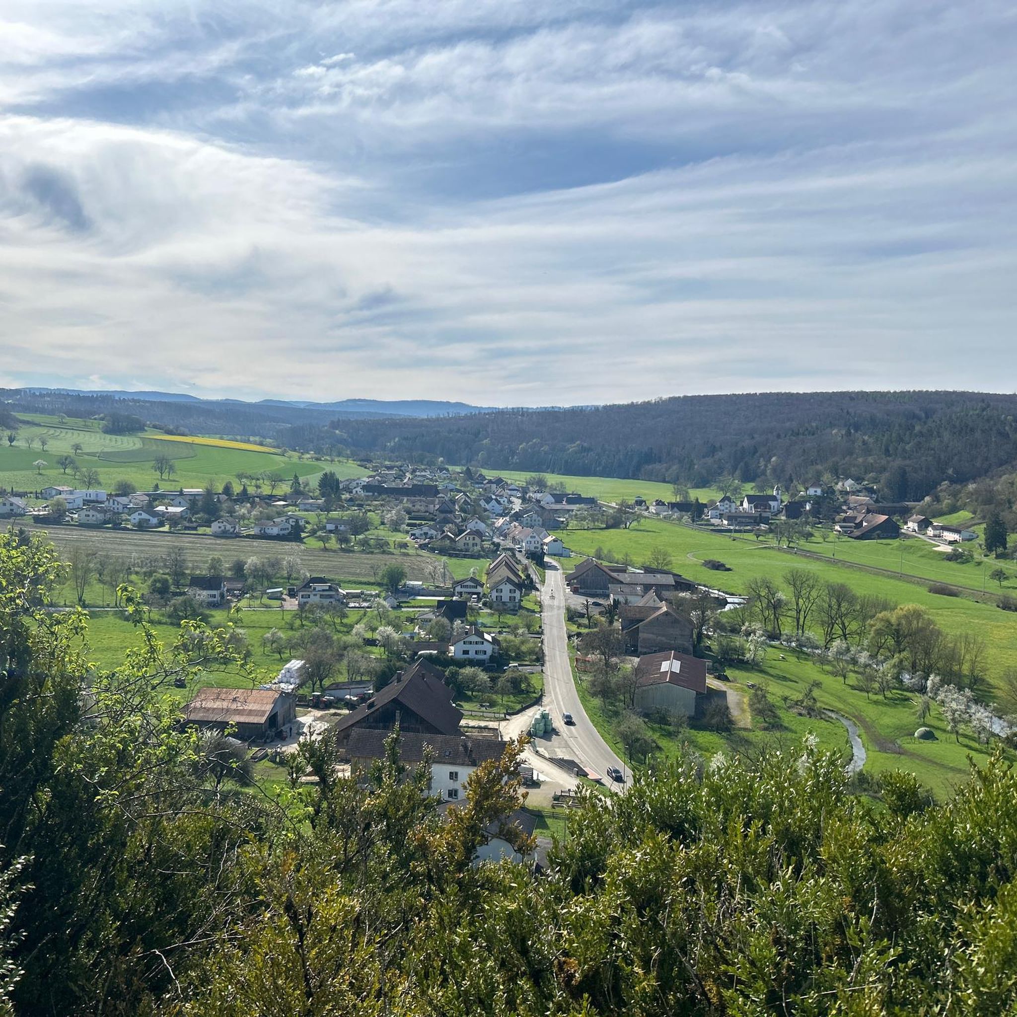
The view from the memorial across the valley is superb.
2
0
Observation tower with a great view of the Vosges Mountains and the Swiss Jura.
2
0

These magnificent sculptures were created from old agricultural implements. Whether it's a spider or an ant is anyone's guess. Absolutely stunning.
0
0
Do you recognize the characters? Is it the prince?
0
0
The sculptures are beautifully crafted and transport you back to your childhood. You immediately start discussing fairy tales from the past.
0
0
Frequently Asked Questions
How many hiking trails are available in Sankt Störingen?
Sankt Störingen offers a wide selection of hiking opportunities, with over 140 trails to explore. These range from easy strolls to more challenging routes, ensuring options for various skill levels.
Are there easy hiking trails suitable for beginners or families in Sankt Störingen?
Yes, Sankt Störingen has numerous easy trails perfect for beginners or family outings. There are 78 easy routes, such as the Pont Sarrazin Natural Arch – Viewpoint of Vandoncourt loop from Vandoncourt, which is 4.5 miles long and features a natural arch.
What kind of natural attractions can I discover while hiking in Sankt Störingen?
The region around Sankt Störingen is rich in natural beauty. You can find unique features like the Pont Sarrazin Natural Arch, the tranquil Doue Spring (a waterfall), and even ancient Dinosaur Tracks of Pommerat. For plant enthusiasts, the Porrentruy Botanical Garden is also nearby.
Are there any historical landmarks or points of interest along the hiking routes?
Absolutely. Sankt Störingen's trails often pass by historical markers, such as those found on the Boundary Stones Trail. You can also explore the historic Porrentruy Castle or the Étupes Lock on the EV6, which are significant points of interest in the area.
What do other hikers say about the trails in Sankt Störingen?
The hiking routes in Sankt Störingen are highly regarded by the komoot community, boasting an average rating of 4.4 stars from over 200 reviews. Hikers frequently praise the varied terrain, the presence of natural arches, and the well-maintained historical paths.
Are there any circular hiking routes in Sankt Störingen?
Yes, many of the trails in Sankt Störingen are designed as circular routes, offering convenient starting and ending points. Examples include the Grammont loop from Dasle and the Grammont loop from Vandoncourt, which provide diverse scenery.
What is the terrain like on the hiking trails around Sankt Störingen?
The terrain in Sankt Störingen is notably varied, featuring natural rock formations, historical paths, and areas with natural arches. Hikers can expect a mix of landscapes, from gentle paths to moderate ascents, providing a diverse experience.
Are there any trails that offer views of rivers or canals?
Yes, some routes in the Sankt Störingen area provide scenic views of waterways. You can find trails alongside the Montbéliard–Haute-Saône Canal beside the Allan, offering pleasant walks along the water.
Are there any nature reserves or protected areas to explore near Sankt Störingen?
Yes, for those interested in nature conservation, the Savoureuse Valley Nature Reserve is located nearby, offering opportunities to experience the local flora and fauna in a protected environment.
What is a good moderate hike in Sankt Störingen?
For a moderate challenge, consider the Pont Sarrazin Natural Arch loop from Croix. This 4.6-mile route takes approximately 2 hours to complete and offers scenic views, including the natural arch.
Most popular routes around Sankt Störingen
Most popular attractions around Sankt Störingen

Get inspired with the komoot mobile app


Explore more
Browse the best Hikes in other regions.
