The best running trails around Tauriac-De-Naucelle
3.5
(2)
389
runners
84
runs
Jogging routes around Tauriac-De-Naucelle are set within the varied landscapes of the Aveyron department in France's Occitanie region. The terrain is characterized by the picturesque Viaur Valley, which forms a natural boundary and offers elevations ranging from 293 meters to 505 meters. This provides a dynamic environment for running, with routes often traversing hills and offering views of the surrounding countryside.
Best jogging routes around Tauriac-De-Naucelle
- The most popular jogging route is Sauveterre-de-Rouergue – Naucelle loop from Naucelle, a…
Last updated: October 15, 2026
34
runners
10.5km
01:27
390m
390m
Hard run. Very good fitness required. Mostly paved surfaces. Suitable for all skill levels.
21
runners
21.4km
02:57
750m
750m
Hard run. Very good fitness required. Mostly paved surfaces. Suitable for all skill levels.

34
runners
10.2km
01:18
250m
250m
Moderate run. Good fitness required. Mostly paved surfaces. Suitable for all skill levels.
4.0
(1)
27
runners
17.1km
02:10
470m
470m
Hard run. Very good fitness required. Mostly paved surfaces. Suitable for all skill levels.
12
runners
33.5km
04:13
870m
870m
Hard run. Very good fitness required. Mostly paved surfaces. Suitable for all skill levels.
Get access to more routes and recommendations from other explorers.
Already have an account?
Our route recommendations are based on thousands of hikes, rides, and runs completed by other people on komoot.
Start today with a free account
Your next adventure awaits.
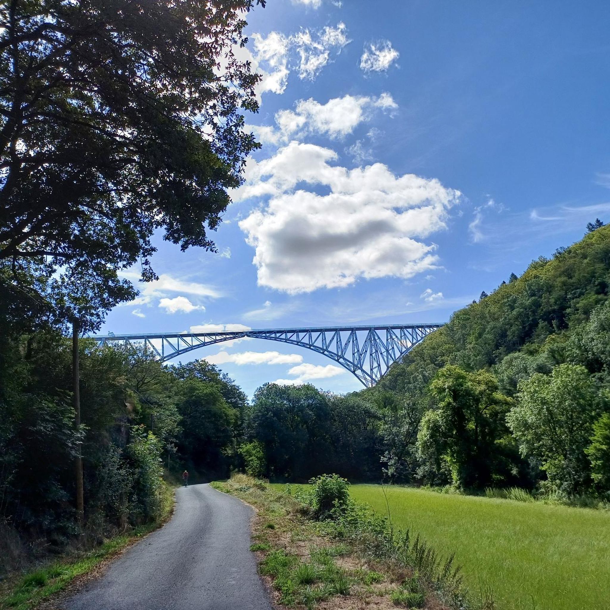
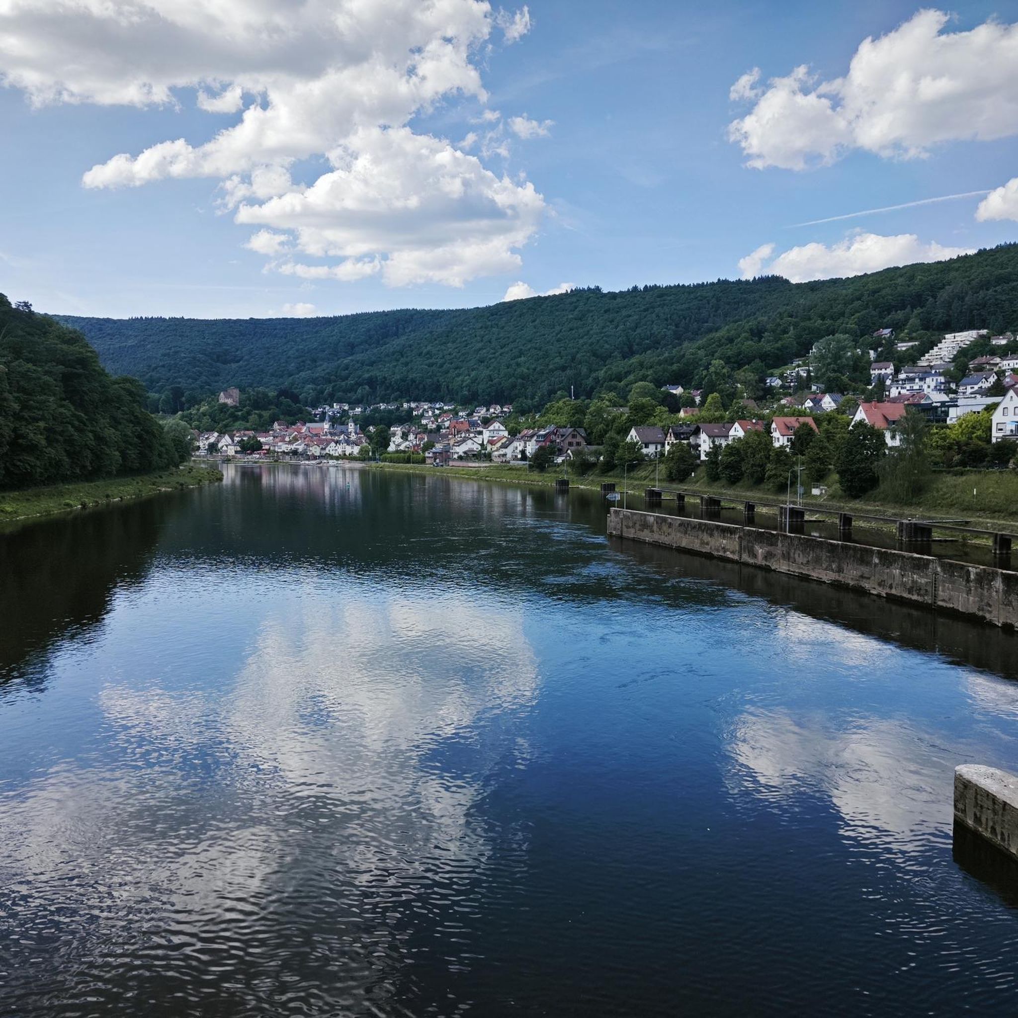

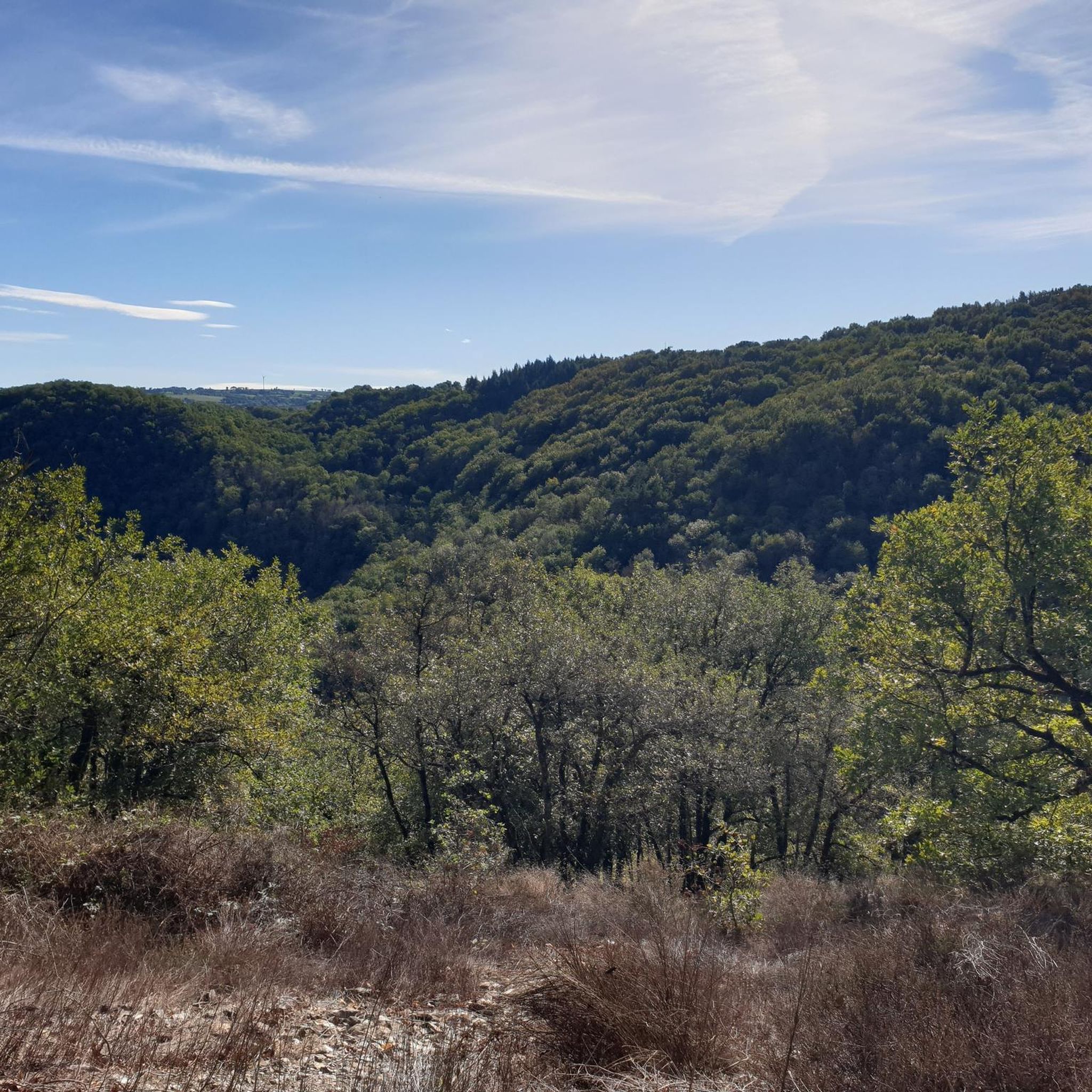
Tips from the Community

Sturdy footwear required! Beautiful tour!
0
0

A beautiful medieval town. Apart from the vehicles parked around, everything is as it was when the town was first built. Truly worth a visit!
0
0

Half of the famous shops closed, the others including the exorbitantly priced artisanal pole. Bar restaurant folded, welcoming some cold locals! Village that is dying..
0
0

The Pont de Thuriès is a 13th Century bridge over the Viaur river that opened up trade between the Rouergue and the Albigeois regions. There is a picnic area nearby and you can also swim in the river.
0
0

Sauveterre-de-Rouergue is a royal bastide located in Ségala in Aveyron. Its square with 47 arcades, the collegiate church of Saint-Christophe, the half-timbered houses and those in the Renaissance style inevitably justify its inclusion in the "Most Beautiful Villages of France".
1
0
Naucelle is classified among the "Most Beautiful Villages of France". It must be said that the town does not lack charm with the Porte des Anglais, the Cistercian church of Saint-Martin and its half-timbered houses.
1
0

The Notre-Dame-de-Lasplanques church, once surrounded by a small hamlet, dates back to the 11th century. Its lost location in the Viaur valley and its defensive architecture allowed the population to take refuge there in the event of an attack, in particular from trucking companies (looter soldiers and mercenaries of the Middle Ages).
0
0
Meander on the Viaur having eroded a formidable rocky outcrop ideal for the establishment of a castle from the 13th century on the road leading from Toulouse to Lyon. Much later, the site took on an economic interest with the creation of a dam of more than 30 meters between 1919 and 1923.
1
0
Frequently Asked Questions
How many running trails are available around Tauriac-de-Naucelle?
There are over 70 dedicated running routes around Tauriac-de-Naucelle, offering a wide variety of options for different skill levels and preferences.
What are the typical difficulty levels for jogging routes in this area?
The routes around Tauriac-de-Naucelle primarily feature moderate to difficult terrain. You'll find around 50 moderate routes and over 20 difficult ones, making it a dynamic environment for runners seeking a challenge.
Are there any circular running routes in Tauriac-de-Naucelle?
Yes, many of the running routes are circular. For example, the Running loop from Tanus is a popular circular trail through the Viaur Valley, and the Running loop from La Carairie also offers a great circular experience.
Which running routes offer the best viewpoints?
For stunning views, consider the Running loop from Aire de Vision du Gô. This route provides excellent perspectives of the impressive Viaur Viaduct, a significant architectural landmark. The region itself, with its varied elevations, offers many scenic vistas of the Viaur Valley.
What kind of natural features or landmarks can I expect to see while running?
The region is defined by the picturesque Viaur Valley and its rolling hills. A prominent landmark is the Viaur Viaduct, a historic railway bridge. You might also encounter natural highlights like the Ruisseau de l'Andouquette or the Cirou Bridge. The Pont de Thuriès loop from Pampelonne passes near the Thuriès Castle and Viaur Dam.
Are there any family-friendly running options?
While many routes are moderate to difficult, there are options suitable for families who enjoy outdoor activity. Look for shorter, less steep sections or trails specifically marked as easy. The varied terrain means you can often find paths that cater to different fitness levels within the broader network.
Can I bring my dog on the running trails?
Most outdoor trails in the Tauriac-de-Naucelle area are dog-friendly, provided your dog is kept on a leash and you clean up after them. It's always a good idea to check local signage for any specific restrictions, especially in nature reserves or protected areas.
What do other runners enjoy most about jogging in Tauriac-de-Naucelle?
The running routes in Tauriac-de-Naucelle are highly rated by the komoot community, with an average score of 4.0 stars. Runners often praise the dynamic environment, the blend of natural scenery with cultural interest, and the challenging yet rewarding terrain of the Viaur Valley.
Are there any less crowded running trails for a more peaceful experience?
While popular routes like the Sauveterre-de-Rouergue – Naucelle loop from Naucelle can see more activity, the extensive network of over 70 trails means you can often find quieter paths. Exploring some of the less-trafficked local commune paths like "La piste oubliée" or "Chemin du Viaur" might offer a more serene run.
What is the best time of year for running in Tauriac-de-Naucelle?
Spring and autumn generally offer the most pleasant conditions for running, with milder temperatures and beautiful scenery. Summer can be warm, so early morning or late evening runs are advisable. Winter running is possible, but be prepared for cooler temperatures and potentially wet or muddy trails.
Are there any historical or cultural sites near the running routes?
Absolutely. The region is close to charming villages like Sauveterre-de-Rouergue and Monestiés, both designated among "The Most Beautiful Villages of France." Sauveterre-de-Rouergue is known for its medieval architecture. You can also find historical points of interest such as the Church of Notre-Dame-de-Lasplanques.
Most popular attractions around Tauriac-De-Naucelle

Get inspired with the komoot mobile app


Explore more
Browse the best Running Trails & Routes in other regions.
